MPUMALANGA (Day 18)
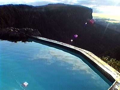
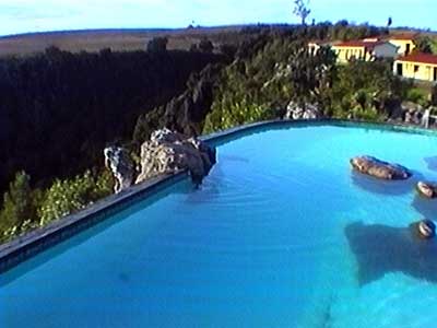
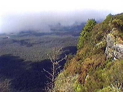
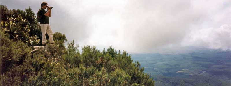
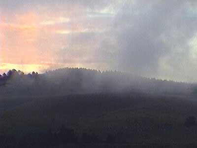
By morning, the weather had cleared and we could see there really was a quite impressive view!
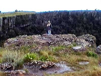
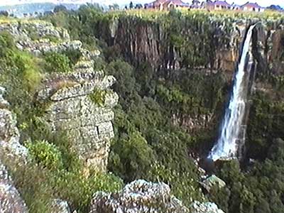
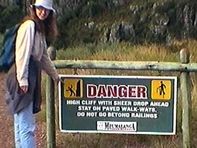
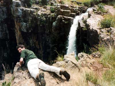
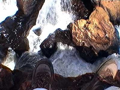
We set out to explore the Mpumalanga (formerly known as the Eastern Transvaal) or 'place of rising sun'. It is an area known for its wildlife and spectacular scenery. Our first stop was Graskop Gorge with its loud Panorama Falls. There are no railings or fences to prevent one from doing something stupid. The beauty was a bit hard to enjoy with the large number of loud vendors pushing their wares.
A couple miles down the road was God's Window. We ended up calling it God's Bathroom Window because of all the mist. It sits on top of a long escarpment, giving wonderful views of the lowveld plateau almost 2,300 feet below (when the mist ocassionally breaks). To get there we had to walk through a lush forest. Fortunately the vendors weren't quite ready and still setting up.
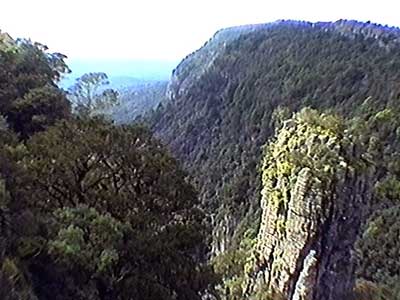
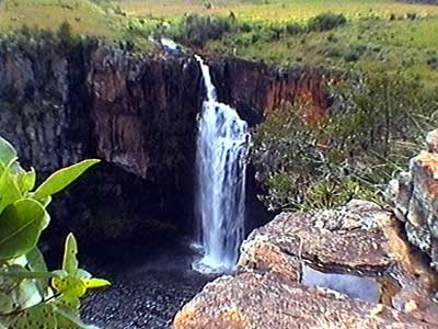
Berlin Falls, with its 148 foot drop, was our next stop on the Panorama Route. An easy, quiet river cut its way through the landscape, reached the gorge, then plummeted down through a very narrow channel. The roar at the top of the falls was deafening.
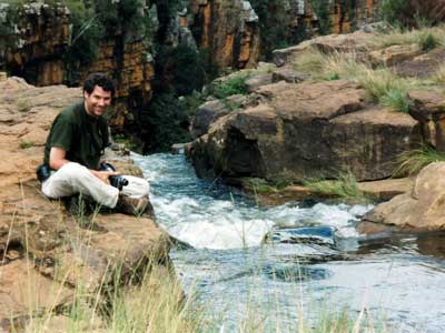
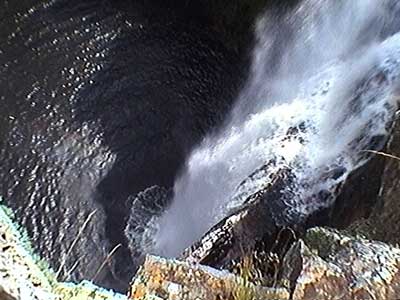
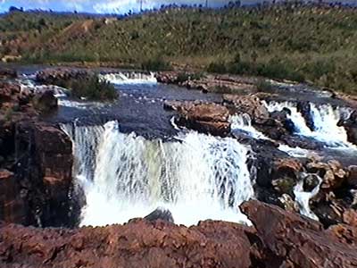
Bourke's Luck Potholes were located at the confluence of the Blyde and Treur Rivers. In 1884, commander Andies Potgieter left his wagons and travelling companions behind while he went on reconnaissance trip to investigate trade route possibilities. They waited and waited and finally left him for dead. They named the Treur River (which means 'sadness river') after the occasion. But the commander wasn't dead and eventually he caught up with him, so the other river was then named the Blyde River (or 'happiness river'). The site is named after a local prospector, Tom Bourke, who staked a claim nearby but never actually found any gold (hence not so lucky).
Water from the expansive cascades sweeps down the canyon and swirls quickly through the deep canyon, wearing away the rock in the shape of potholes.
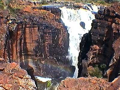
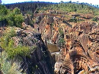
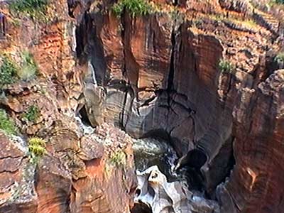
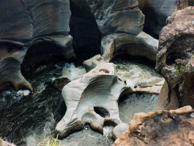
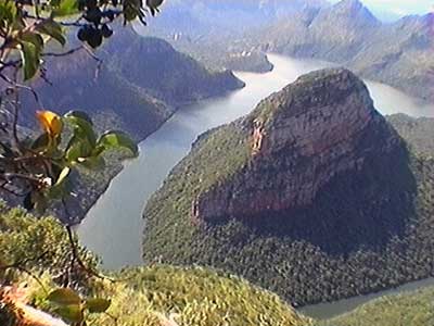
We stopped at a viewpoint overlooking the nearly 20 mile long Blyde River Canyon. Hills spread as far as the eye could see.
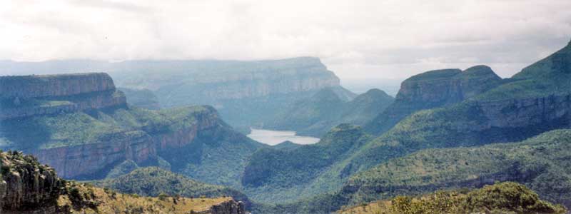
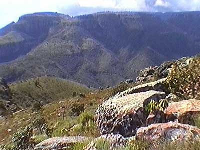
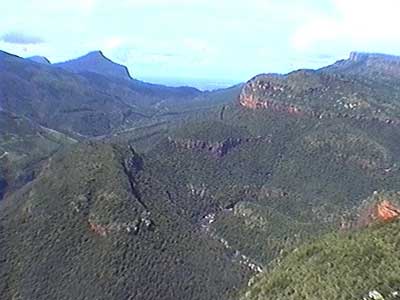
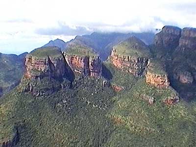
A bit further down the canyon were the Three Rondavels, cylindrical pillars of red rock so named because of their resemblance to the traditional grass huts of the area. It was a very steep drop to the bottom of the canyon far below.
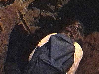
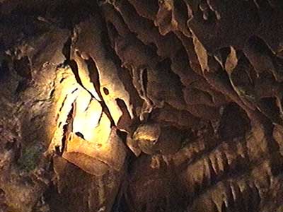
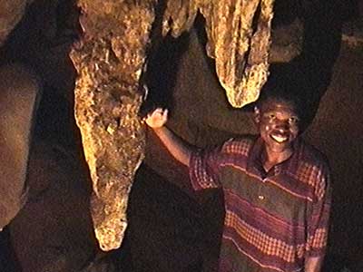
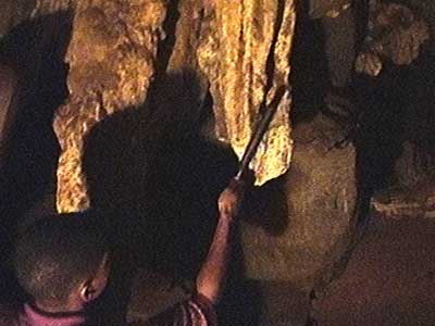
Our last stop of the day was at Echo Caves. Kenny, our tour guide, led us on about a mile tour through the pitch black cave with only a flashlight. Parts of it were QUITE slippery and uneven and we also had to do lots of twisting and ducking. The cave was discovered by accident in 1923 by a man looking for stray cattle. In 1959 it was opened to the public. The native Sotho people used to live in here, making spears out of the stalactites.
It's called Echo Cave because one large, hollow stalactite could be used as sort of a communication system. The reverberations from hitting it could be heard throughout the cave.
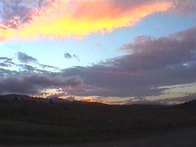
The sunset was eventually drowned out by pouring rain. We grabbed some dinner at a cute little place called Notty Pines Restaurant.
return • continue

