DETTIFOSS, GTOTJAGJIA, NAMASKARD HVERIR, KRAFLA (Day 6)
It was quite cold and wet last night. Our camping was unintentionally free because we were unable to find anyone to pay. Our first site of the day was Lagarfljot, Iceland's third largest lake. We looked for the 'Devil of Lagarfljot' (their version of the Loch Ness monster) but after failing to spot the creature, we continued on.
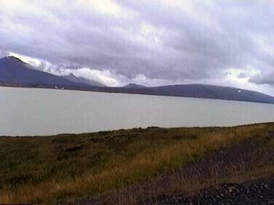
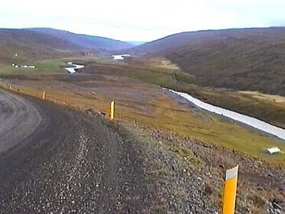
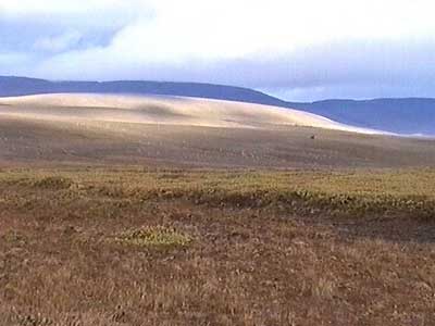
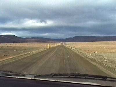
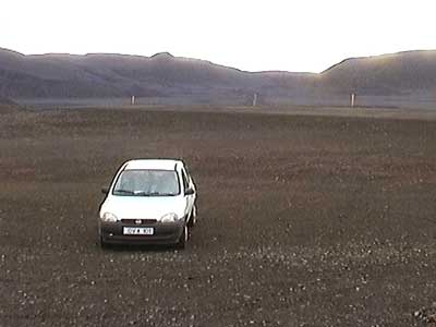
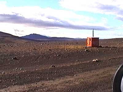
Our drive took us more inland and the landscape became quite barren. Here, the little red emergency huts possibly could mean the difference between life and death. Apparently most of the deep interior of the island is akin to a lunar landscape. It is SO inhospitable that is was a guaranteed death sentence to any person who was banished there as punishment.
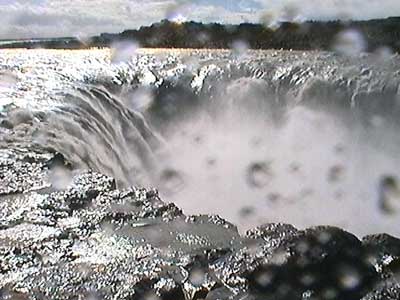
Dettifoss (150 feet tall, 325 feet across) pours into the Jokulsarglijufur, a 15-mile long, 3-mile wide canyon that can exced 330 feet deep in places. Dettifoss is the most powerful waterfall in Europe, delivering over 6,800 cubic feet of water per second. It was formed by the flooding of the glacial river Jokulsa (Iceland's second largest river), which carries 5 millions tons of clay to the sea per year. Standing right next to it was VERY loud!
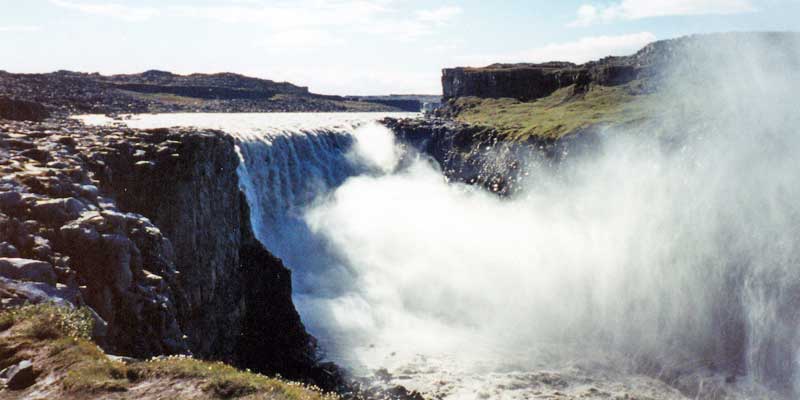
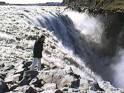
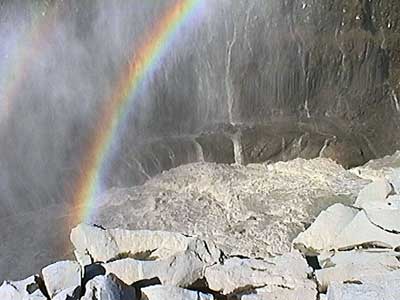
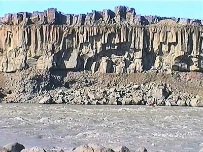
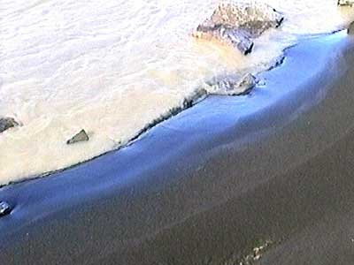
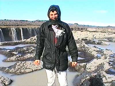
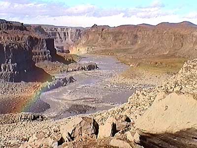
We then hiked upstream through the extremely strong wind. Across the river towered 30-foot basalt columns. The colors of the water and the sand seemed simply wrong! The shoreline abruptly ended in a steep cliff, but fortunately there was a path that wrapped around to the top.
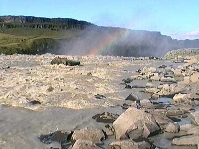
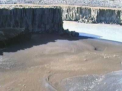
We continued along the top of the cliff until suddenly a giant canyon emerged in front of us. The far cliff was covered with a long string of waterfalls and at the back of the horseshoe canyon was an even larger falls. We had reached Selfoss. The wind and the incredible amount of spray teamed up to soak us thoroughly.
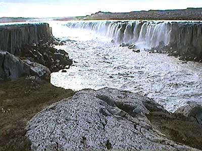
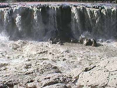
When we had had enough, we made our way back past Dettifoss to the car.
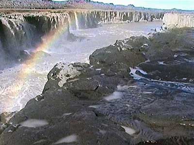
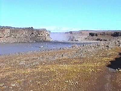
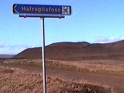
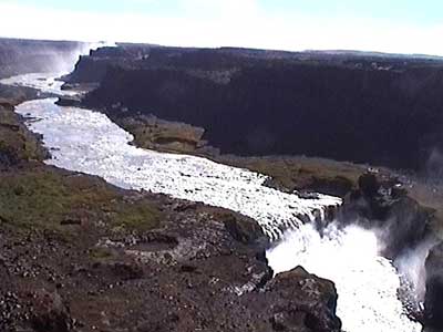
Just downstream in the same canyon situated between two craters was Hafragilsfoss, an 88-foot falls named after the Hafragil Ravine. The wind was raging now! Small rocks pelted our faces as we attempted to get a glimpse of the falls.
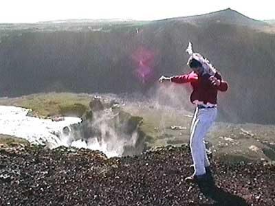
I returned to the car first (after all, we still had the only-one-door-open-at-a-time rule otherwise everything would blow out). When Ron came back, he opened my door and leaned in to hand me the video camera. Unfortunately just at that moment, a gust of wind caught the car door and slammed it shut... knocking him on the head! It took me a moment to struggle to push the door open against the wind with my legs. All I could see was his feet sticking out from behind the car as he lay prone on his back on the ground. He slowly recovered and sat up (being completely unaware he had even been unconscious). He at first insisted he was fine and attempted to drive... but once the double vision started, he agreed to give me some time behind the wheel.
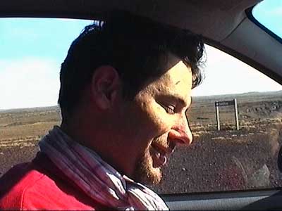
The first thing we encountered on our way out was a sandstorm. Fortunately it seemed more interested in moving off in another direction.
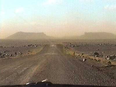
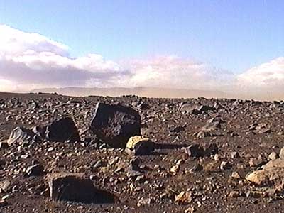
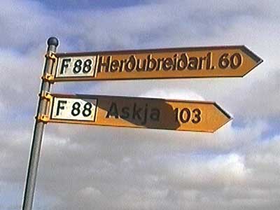
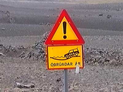
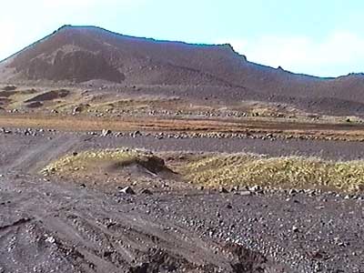
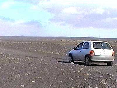
The second thing we encountered was an F-sign. As I mentioned earlier in the trip, these are hardcore roads meant only for 4-wheel drive vehicles. But the road didn't look too bad, so we told ourselves that we'd turn back at the first sign of difficulty. And we did. As soon as we spotted our first river crossing, we stopped. Unfortunately it was already too late. The hill we had stopped on was pure loose sand. After MUCH effort (on both our parts and the car's), we escaped... but did leave some VERY deep grooves.
We made our way to the Myvatn area, famous for volcanic and geothermal activity.
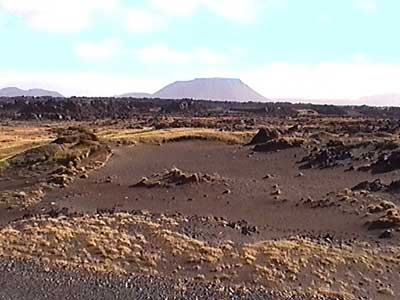
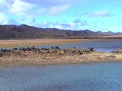
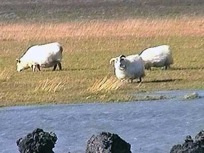
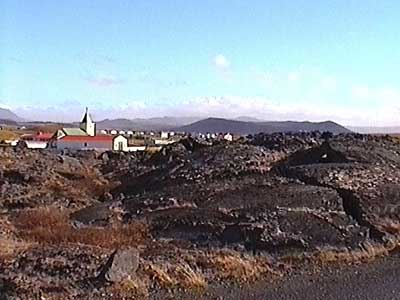
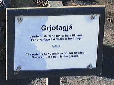
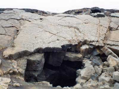
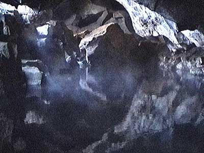
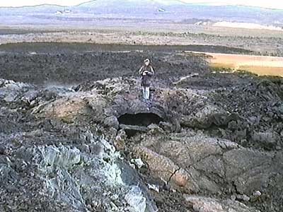
Our first stop was Grotjagja, a small cave deep in a lava hill. We climbed through the hole and down some huge boulders. There was a strong sulfur smell. At the bottom was a steaming pool. The 25-mile long cave complex is located on the Krafla fissure system. At one point, people used to soak in these waters, but today they have become too hot (about 122 degrees F). It was warm and dark in the cave... and a VERY nice break from the harsh winds outside.
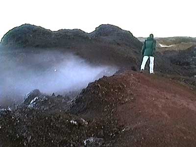
With temperatures of 400 degrees F at 3,000 feet deep, Namaskard Hverir was a geothermal hot zone filled with spouting steam vents, bubbling mudpots and very smelly yellow sulfur fields. Again, strong winds sometimes made standing upright a bit of a challenge.
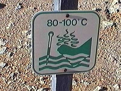
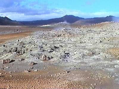
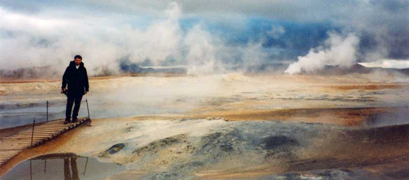
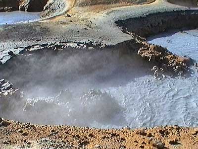
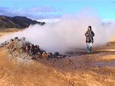
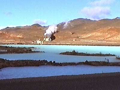
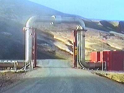
Power plants were abundant here. The smell of sulfur filled the air. Steam also poured from vents alongside the road.
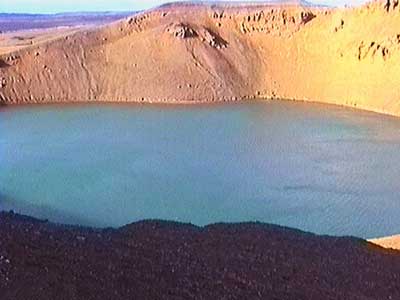
Viti (whose name translates to ‘hell’) was an old volcanic crater filled with a lovely green lake. We started to walk around the rim but gave up after 10 minutes because the wind was so attrocious.
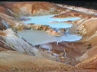
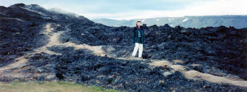
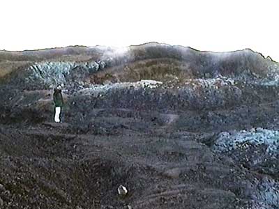
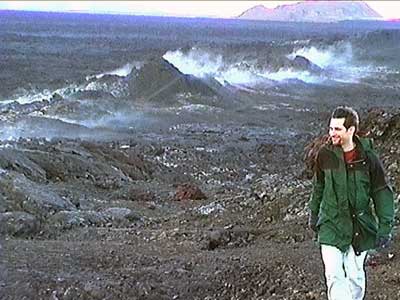
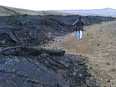
Nearby were the florescent, very hot, sulfury blue pools of Leirhnjukur and the exploded Krafla volcano crater. The 2,600-foot volcano last erupted in 1984. The lava is still warm in many areas. On average, a volcano in this area erupts every 5 - 10 years. We wandered around the maze of giant craters and over large black steaming lava fields.
We set up our tent at Reykjahlidth. It was so incredibly windy that we slept with as few items as possible in the tent... in case it decided to blow away with us in it. Our faces were quite raw from the full day in the wind and the cold.
return • continue

