DIMMUBORGIR, ASBYRGI, HLJODAKLETTAR (Day 7)
The storm seemed to finally stop around 4 am. We slept a couple more hours, stepped out of the tent, then realized that the wind had actually been a good thing! There were literally ZILLIONS of tiny black (fortunately non-biting) gnats! Apparently this area, Myvatn, means 'gnat lake' and is home to 35 different sorts of higly irritating insects which swarm in clouds.
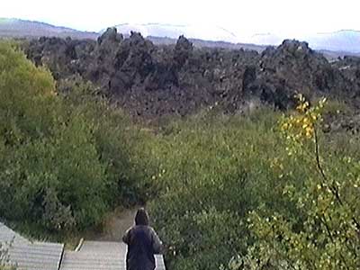
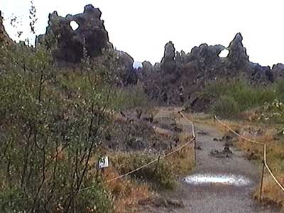
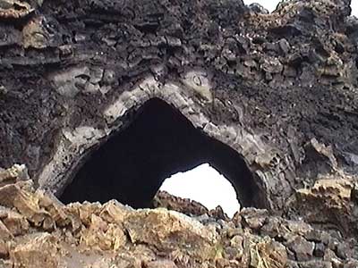
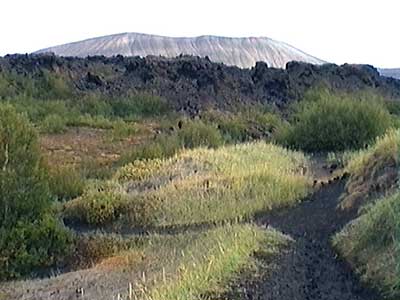
The little flying pests were also found at our first stop of Dimmuborgir, a valley of strange lava formations. The bizarre pillars were formed when lava flowed over a marshland. The resulting hot water and exploding mud forced the lava up into columns. While the strong winds had previously made it difficult to walk, these giant black swarms made it difficult to stand still for more than a micro-second.
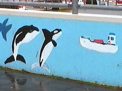
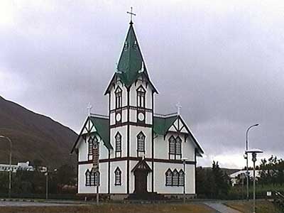
We drove up to Husavik for a whale watching trip, but unfortunately it was cancelled due to poor weather (more wind and rain, of course). The lovely church was also closed (only open through August).
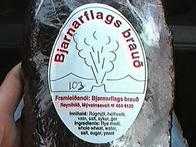
Lunch included some geyser bread. It was incredibly dense, moist, sticky and malty. As the name implies, it is baked underground... cooked by the naturally hot rocks.
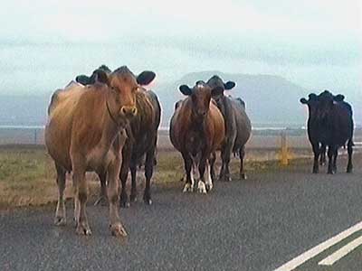
We drove further north to Tjornes (the northern most point in our trip) to see the puffins, but... sigh... they had all gone. We did get some consolation cows... and the bitter cold wind had returned to drive away any insects.
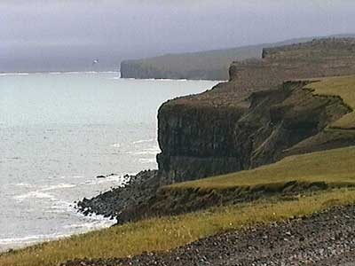
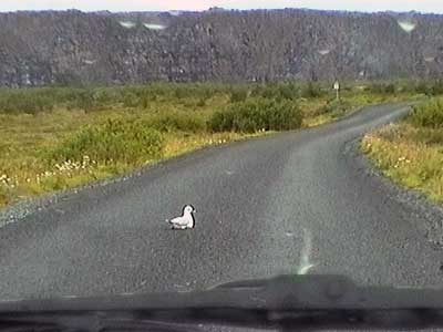
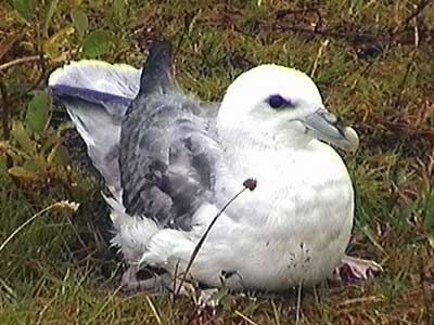
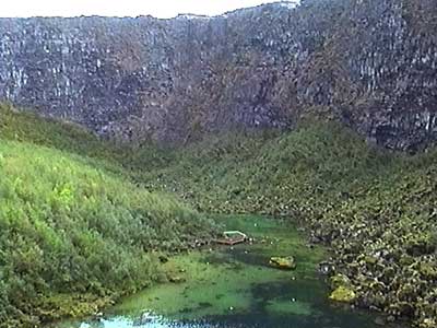
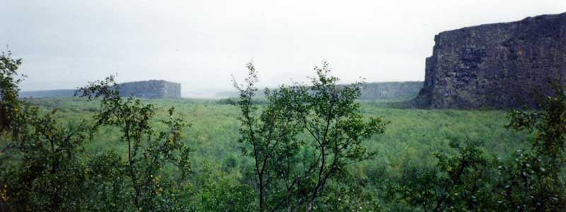
We weren't having much luck so far, but we decided to try Asbyrgi, the largest canyon in Europe. Legend says the canyon is the hoof print of Sleipnir (the winged 8-footed horse of Odin) as it ascended to heaven. Geologists say the canyon with its 300-foot tall cliffs was formed by the flooding of the Jokulsa River. Flightless seagulls (in the process of molting) were everywhere... including directly in the road.
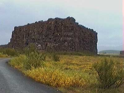
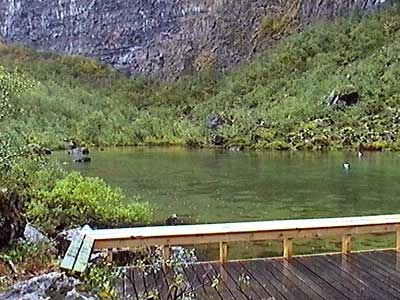
Heavy rain now joined the stiff wind as we walked to a lovely pond at the bottom of canyon's end. We then followed a path up the cliff to an overlook, where we got a nice view of the pond as well as down the length of the canyon.
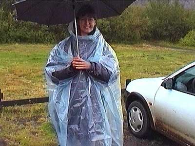
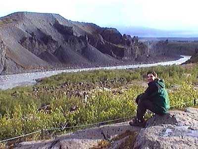
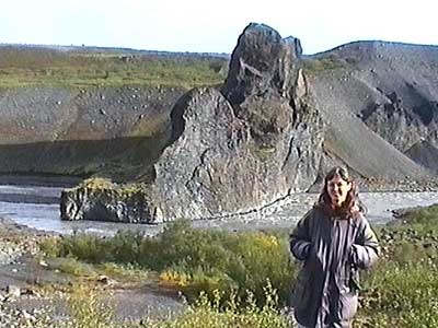
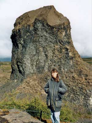
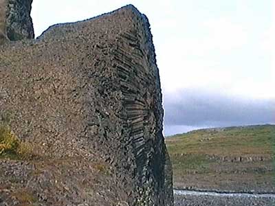
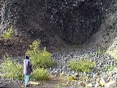
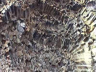
A VERY rocky, sandy road led us to our next stop of Hljodaklettar. We wandered among the enormous cores of old volcanos that had been left behind after the Jokulsa River washed away all loose material. The basalt columns went every which way! It was still quite cold out but at least the rain had let up a bit.
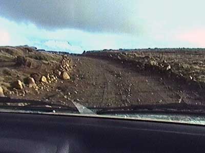
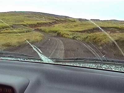
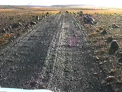
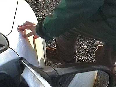
We took a different route back, the 862... which promptly changed into the F862. We ended up driving 25 VERY stressful miles on a road that was really only meant for 4-wheel drives.... large rocks, potholes, washboard, slippery mud, soft sand, a high center ridge, through channels so narrow and deep we couldn't even open our doors, and it even sleeted on us. We only made it since fortunately all the river crossings were dry... although we did briefly lose a hubcap.
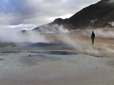
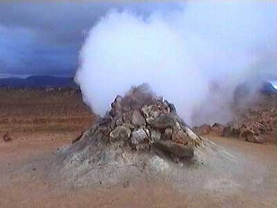
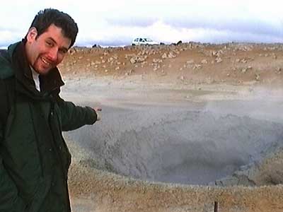
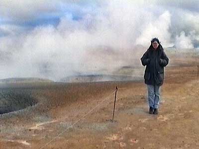
We made another quick stop at Namaskard Hverir hoping to get a view of the sulfur fields with a little less wind this time. It wasn't all that much better. Apparently they offer site-seeing flights over this area... oh, but only until the end of August.
We camped at the same place in Reykjahlidth.
return • continue

