KERIDTH, SELJANDSFOSS, SKOGAFOSS, SOLHEIMAJOKULL, DYRHOLEAY (Day 3)
Fortunately the wind eventually died down, and in the morning we were awakened by softly clucking ducks nearby. We packed up and headed off early. Again the drive was lovely.
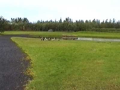
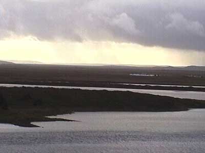
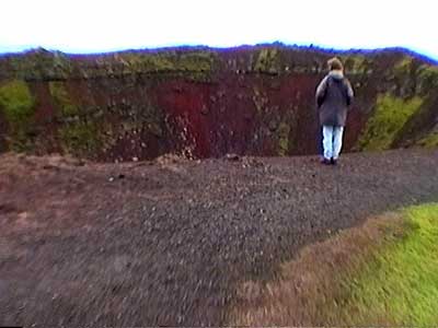
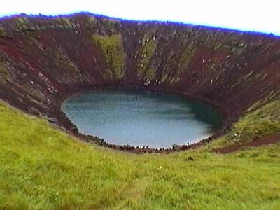
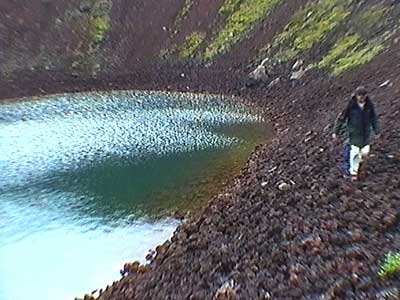
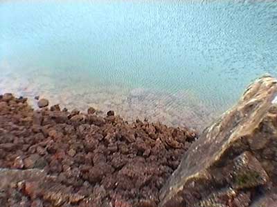
Keridth (kind of... that good old Icelandic alphabet again) was a 180-foot deep explosion crater, part of row of craters known as the Tjarnarholar. Today it is simply a low lake. We hiked down to green waters (due to a high copper content) at the bottom.
We continued on. It's kind of hard to get lost in Iceland because there really is only one major (as in paved) road that forms a ring about the edges of the island. Hence it's called the Ring Road, or Route 1. I believe it's the only-single digit road on the island. After that, one gets two-digit roads... mostly firm but not always paved. Three-digit roads start to get QUITE iffy (including possible river crossings)... and any road with an F in front means 'four-wheel drive only.'
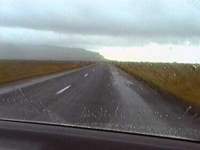
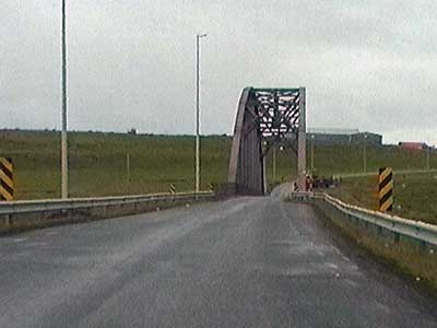
After a goodly drive, we arrived at the 130-foot tall Seljandsfoss. There was a super slippery path that led behind the waterfall, although granted we looked like drowned vermin at the end of it! But who can pass up seeing the backside of water.
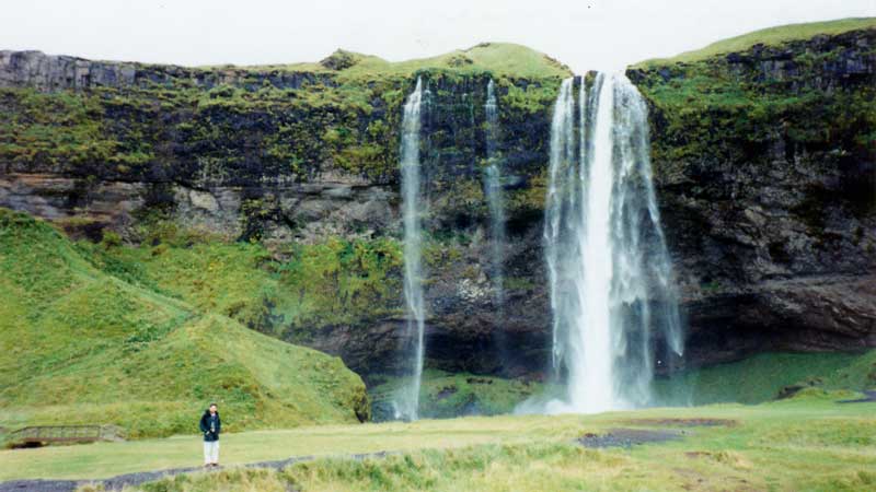
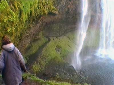
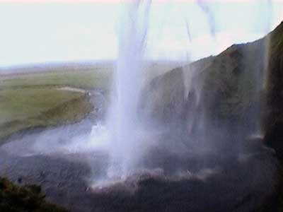
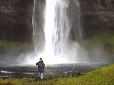
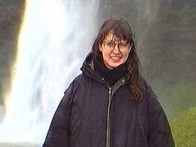
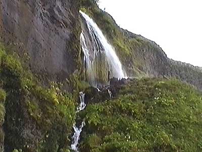
We then walked over to admire the neighboring waterfalls. Everything was drenched and the ground was quite springy.
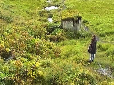
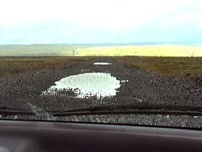
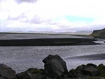
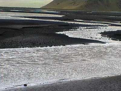
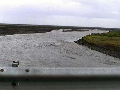
Before getting back on the main road, we took a three-digit road very briefly to have a look at Markarfljot (with fljot meaning wide river). This was basically the runoff from two glaciers. Water filled HUGE potholes in the gravel road. But we did get some lovely views of the silver river snaking its way across the black sand to the nearby sea.
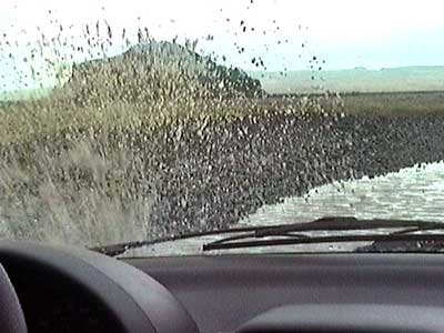
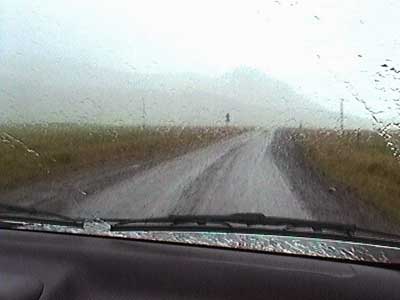
By this time, there was so much wind that we could only have one car door open at a time while getting in, otherwise stuff would be blown rapidly out. Some of the smaller waterfalls couldn't even make it to the ground before being vaporized into spray by the howling gusts. The rain continued to regularly beat down on us as well. Villages listed on the map consisted of no more than a dozen buildings or so.
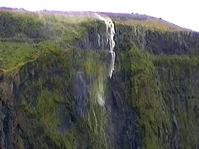
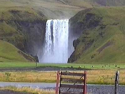
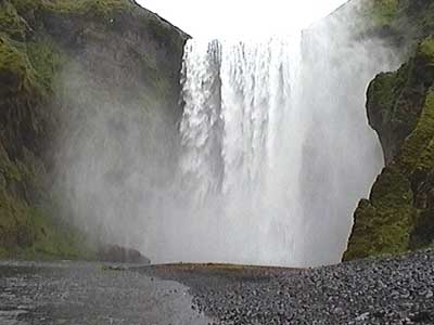
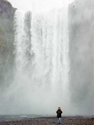
Skogafoss (or 'waterfall on the Skoga River') was a stunning 200-foot incredibly powerful waterfall. Legend goes that one of the first Vikings who settled in this area, Thrasi Thorolfsson, hid his treasure of gold coins in a cave behind the falls. It remained safe for years until a local boy found it. He was only able to grab the ring on the side of the chest before it disappeared again. Today when the sun shines on the falls, one can see the gold in the smimmering spray.
We first walked up the base where we got soaked from the tremendous spray (it was ok since we were still soaking wet from our last falls).
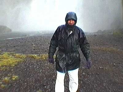
We then took a rather scary, super slippery and muddy hike up to the top of the falls. There were no fences and the path was very narrow. The gusting wind and pelting rain didn't help much either.
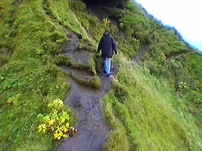
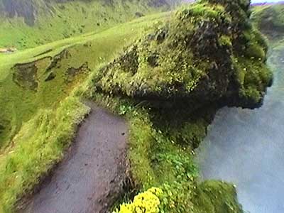
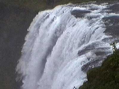
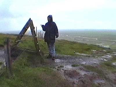
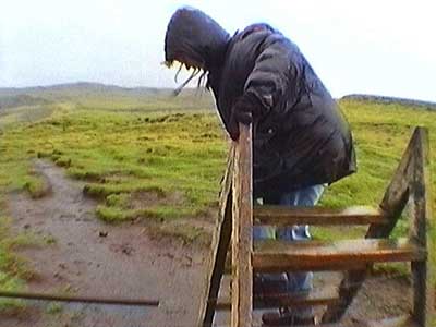
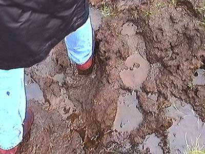
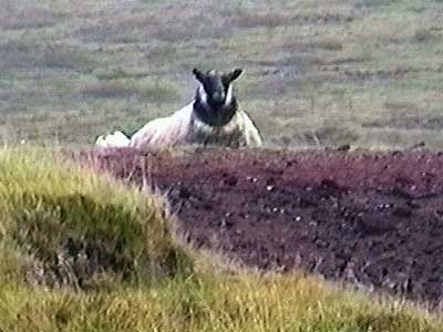
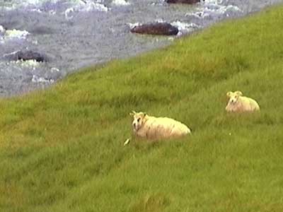
Once at the top, we got a view of a spectacular second falls further up the river. Suffice to say there were no other tourists up here... although plenty of sopping sheep!
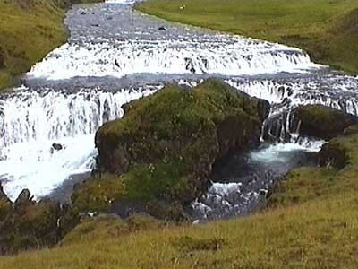
Then of course came the treacherous climb back down.
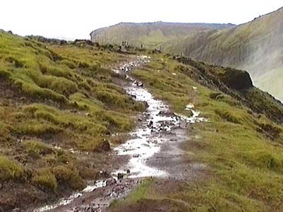
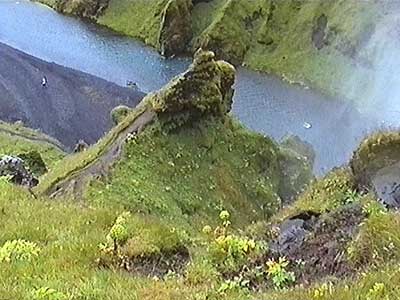
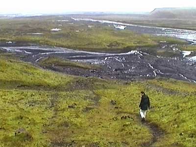
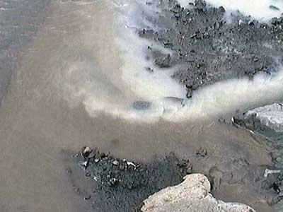
It was a very rocky drive to Solheimajokull, glacier tongue of Myrdalsjokull (jokull means glacier). To our left flowed a large runoff river. A strong smell of sulfur filled the air.
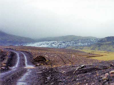
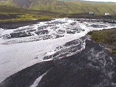
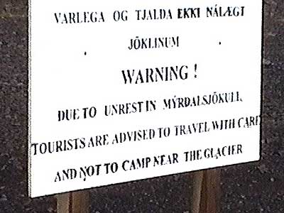
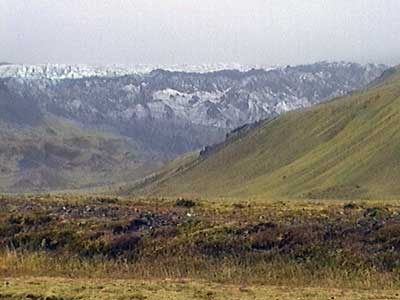
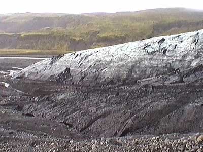
It was an extremely muddy walk to the towering wall of ice. Water flowed everywhere. Nearby rocks were rounded and worn smooth from having been dragged along with the moving behemoth.
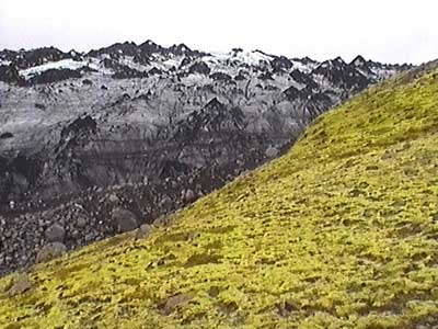
We reached the edge of the glacier then made our way up one side. There was a noticeable blue tint underneath the layer of fine black dust.
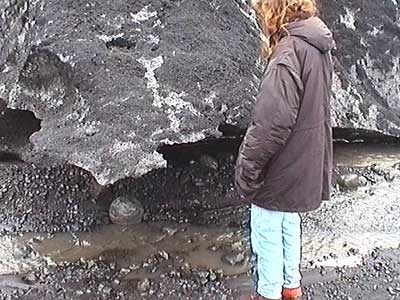
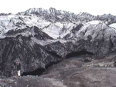
We made our way back down a less muddy, grassy hill.
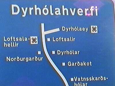
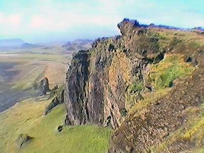
We got to the car just as the rain began again. We continued on the main road for a bit, then turned off down a bumpy, pothole-filled three-digit road that took us to the coast. Soon we arrived at Dyrholaey, the southernmost tip of Iceland. We stopped briefly on a cliff to get a lovely overview.
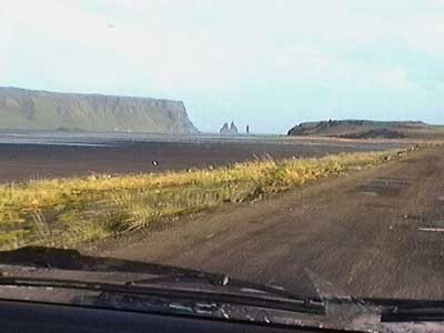
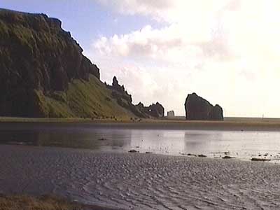
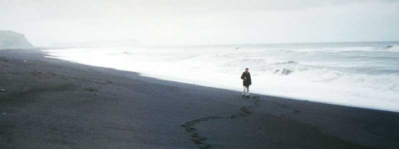
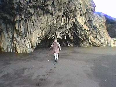
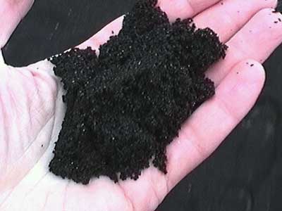
We drove down to the black sand beach below. Along with grey cliffs , a grey sky and a grey sea., the whole scene was quite devoid of any real color. We explored some caves worn into the spectacular basalt column cliffs.
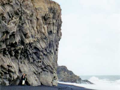
On the way out, we got a better view of some basalt pillars jutting out of the ocean. Some Icelanders still believe that these are actually trolls who take this form by day but become their real selves at night.
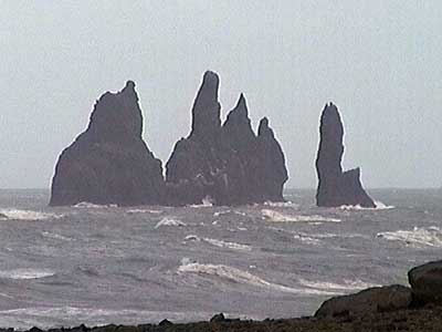
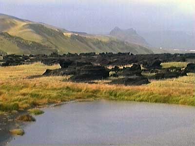
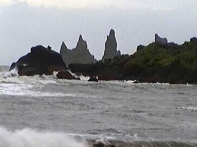
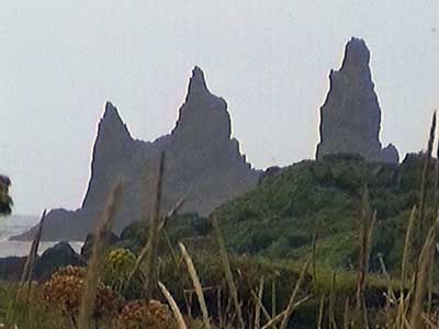
A bit further, from the town of Vik, we got a view from another beach of some almost 200-feet tall pillars known as Reynisdrander. There was a path leading closer to them, but it was fairly long and we needed to get going. Besides, we didn't want to be there when the trolls woke up!
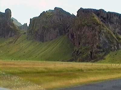
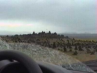
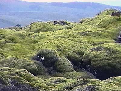
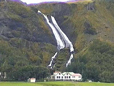
The drive was again filled with many fascinating sites... glacial rivers, basalt cones, moss fields and enormous waterfalls that were too 'insignificant' to be listed on the map.
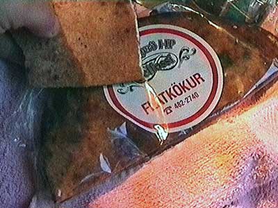
After another full day of wind and rain, we set up tent in the tiny village of Kerkjubaejarklauster. We've been making a point to try different foods... such as flatkokur, or flatbread. This is Iceland's oldest type of bread, dating back to the 800's. Originally, using just rye and water (and sometimes moss), the bread was placed on a pile of embers of sheep dung (since there aren't many trees in Iceland) and a pot was overturned on top of it to keep the heat in (since households lacked stoves). It reminded me a bit of burnt pancakes.
return • continue

