SKAFTAFELLSJOKULL, SVARTIFOSS, JOKULSARLON (Day 4)
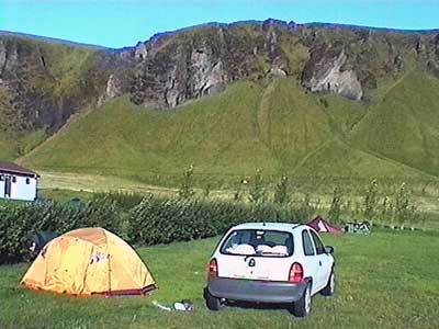
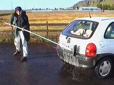
The wind and rain raged most of the night. The tent billowed and shook. We began to make up different tourist slogans for the country relating to the cold and the wet. For example, instead of "I left my heart in San Francisco" we said "If you leave you heart in Iceland, don't worry, it will keep." We packed up then washed the layer of mud of the car at the local gas station... yes, they had a hose complete with scrub brush (apparently mud-caked cars aren't all that unusual).
The sun was out as we began our drive.
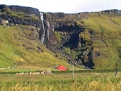
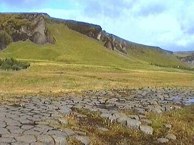
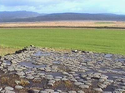
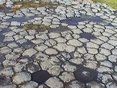
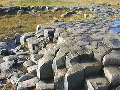
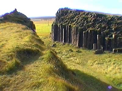
At Kirkjogolf, the tops of basalt columns are level with the normal ground, forming a bizzare groundwork which looks not unlike an old church floor (kirk means church).
Foss a Sidthu was a quaint little waterfall that was unfortunately locked away behind a farmer's gate, so we could only enjoy it from afar.
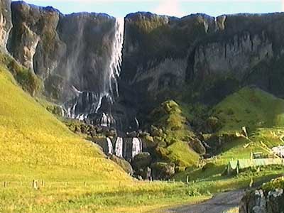
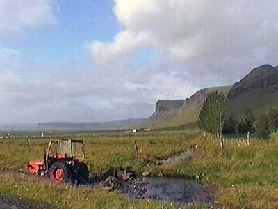
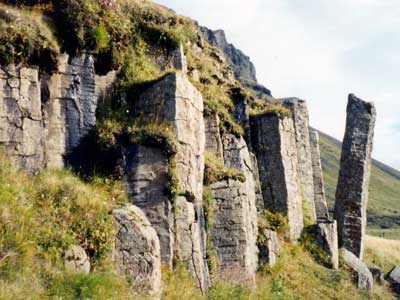
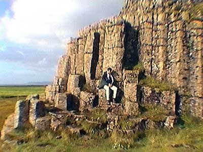
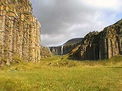
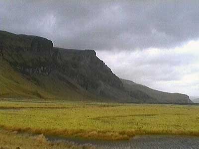
Across the way were the dwarf cliffs of Dverghamrar. We had a very windy walk through some farmland to a set of short basalt cliffs that were bursting out of the ground.
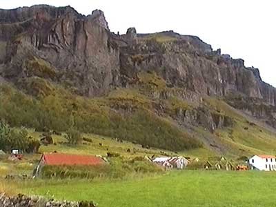
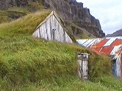
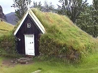
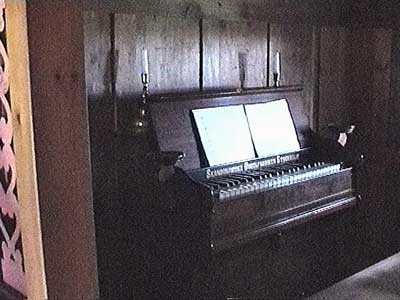
In the tiny village of Nupsstadthur (which consisted of only a dozen houses), we visited a 17th century turf church, where most of the building was made with chunks of sod. The doorway was quite low. Inside was a stone slab floor, several pews on either side and a small organ. There were several other turf buildings as well, but not a single person.
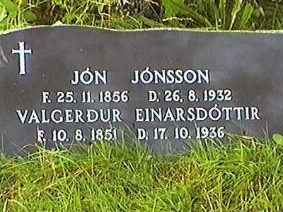
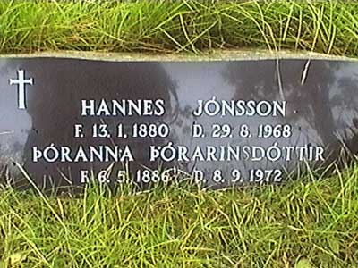
In the back was a small cemetery. As with many cultures, Icelandic last names reveal a family lineage... such as the son of Jon (Jonsson) or daughter of Einar (Einarsdottir).
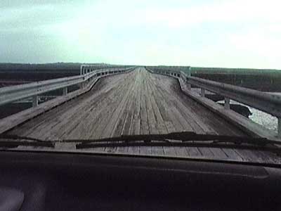
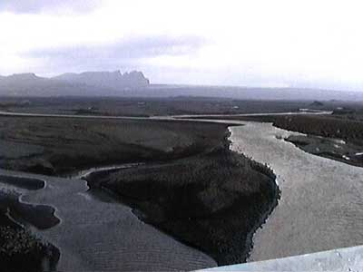
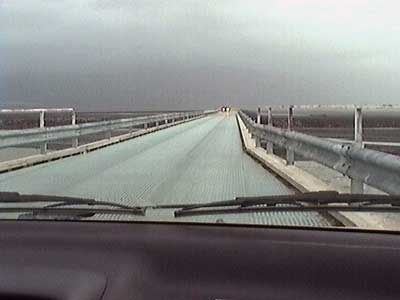
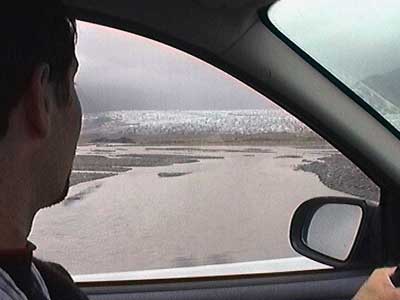
On our continued journey, we crossed the longest bridge in Iceland over the area of Skeidtharasandur, a large black sand area criss-crossed with hundreds of rivers flowing from the local glacier. The wooden bridge was only one lane wide but offered a couple wider pullouts for passing. Fortunately there wasn't a lot of traffic. The clouds and thick haze had rolled back in and the once vibrant colors began to blend into various shades of grey.
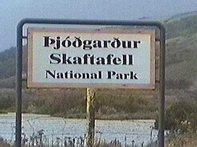
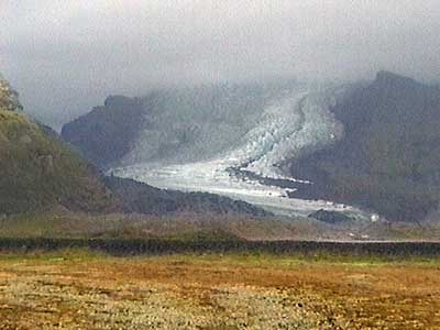
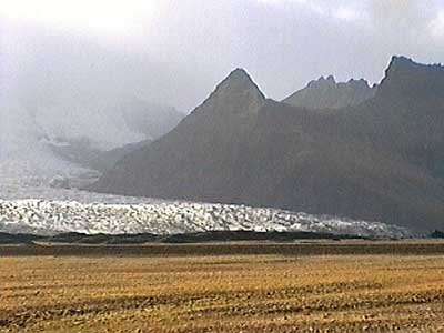
We arrived at Thjodthgardthur Skaftafell National Park. We first walked to Skaftafellsjokull, a glacier tongue descending from Vatnajokull. It was extremely windy! This glacier has been drastically retreating and all the land for the mile leading up to it once used to be buried under ice.
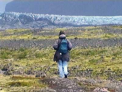
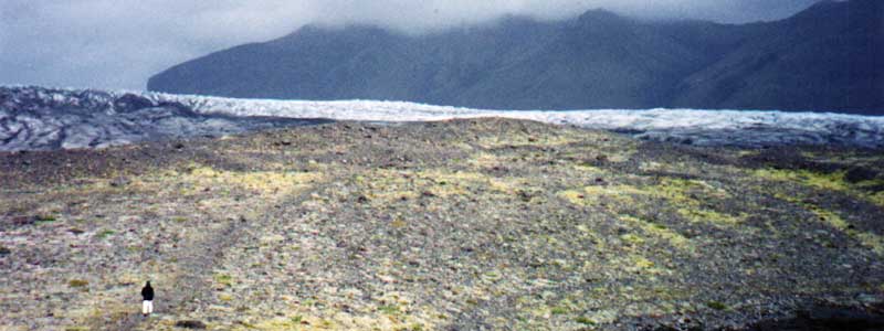
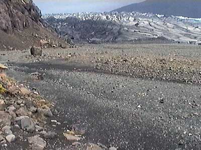
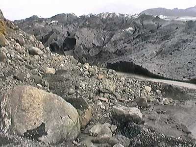
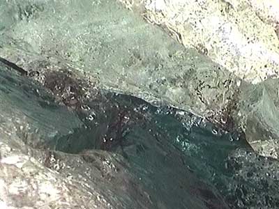
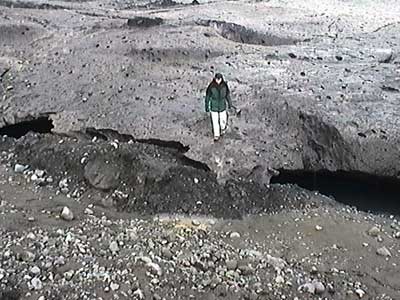
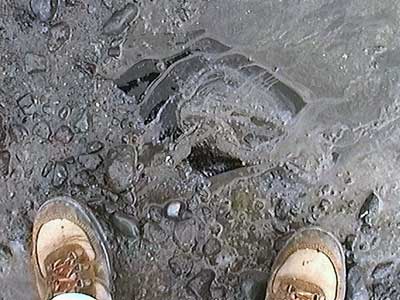
We made our way along the side of the glacier, getting constantly sucked into the deep mud. A river of runoff water flowed from beneath it. We eventually found a spot to climb up on the massive chunk of ice. Pure ice lay just below a thin layer of dust and snow.
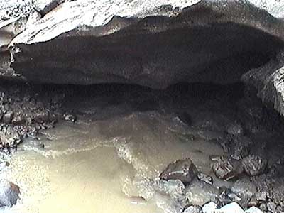
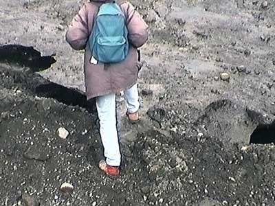
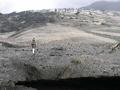
We walked back from the glacier...
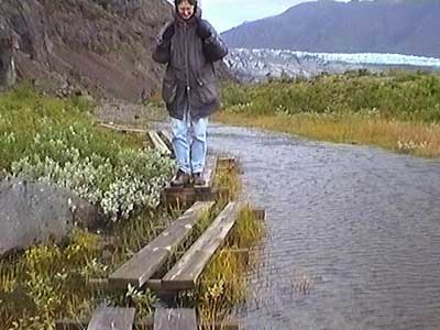
... and then headed down another path. The wind and rain continued as we first made our way through lush vegetation past the waterfalls of Hondafoss (translated as Dog Falls, since when early settlers crossed the river here, many things - including some of their dogs - got washed over the falls) and then Magnusarfoss.
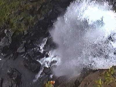
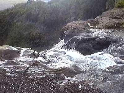
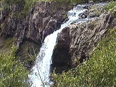
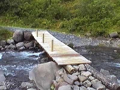
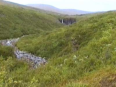
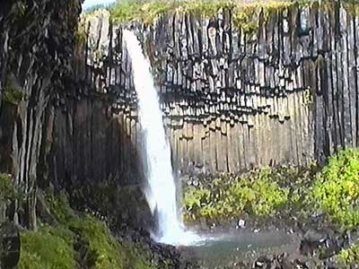
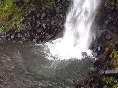
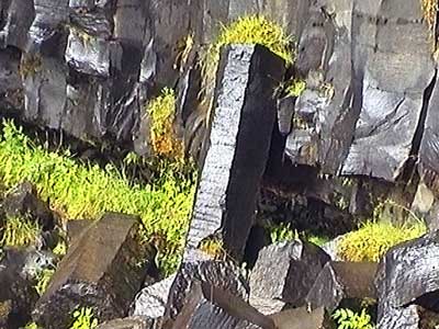
We emerged from the forest onto some treeless, albeit thickly vegetated, hills. In the far distance we could see our destination... Svartifoss (Black Waterfall). Located at the back of a horseshoe canyon, the water tumbled into an amphitheater of black basalt columns. These colums were formed during the gradual cooling of a layer of molten lava. The water has since carved its way through the lava crust.
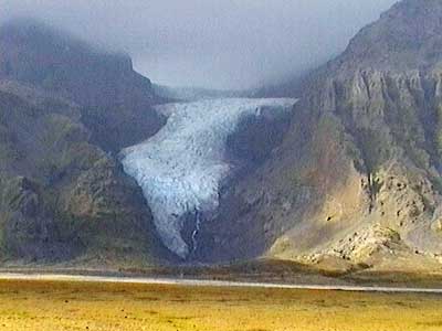
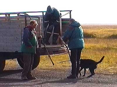
We returned to the car and continued our drive. We passed glacier after stunning glacier. The sun came out as the clouds finally retreated a bit, although the strong winds held steady. We took a short detour down an extremely rocky path and met a group of people climbing into a large open trailer behind a tractor. The local farmer only spoke Icelandic, but we learned from one of the passengers that they were a group of scientists headed out to the small island of Ingolshofdthi on a 3-hour bird watching excursion. They invited us to join them, but when we learned the puffins had already all left about 2 weeks earlier, we kindly declined.
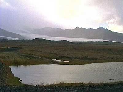
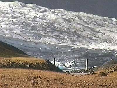
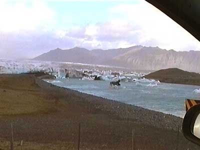
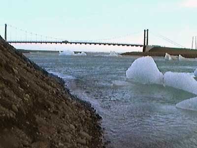
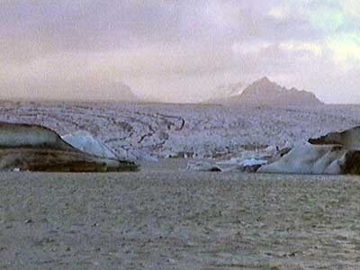
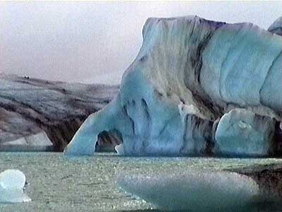
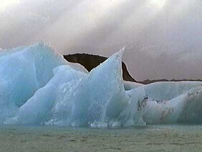
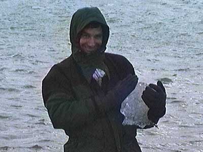
We passed by another glacier which turned out to be our next stop... Jokulsarlon (the glacier lagoon). This is where the giant 12-mile wide glacier Breidhtamerkurjokull slides 15 feet per day into the sea. The lake is over 800 feet deep and only started forming around the 1920's when the glacier began receding due to a warming climate. It is now about a mile from the coast and the lake will only continue getting bigger if conditions persist. Icebergs ranging from 5 to 30 feet tall break off the glacier and can take up to a year to reach the open sea. We fought the icy air, raging wind and pelting rain to walk along the lake shore for a bit.
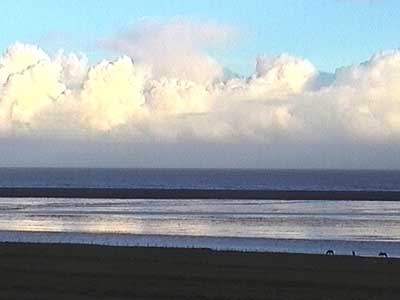
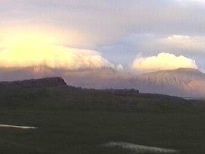
The drive was spectacular! The rain and wind fell away and for the first time we were able to see the sunset.
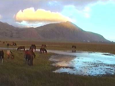
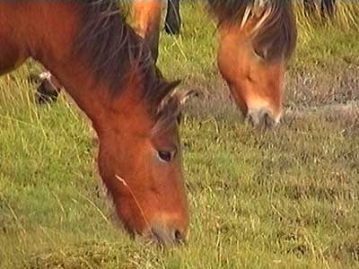
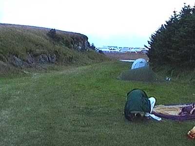
Unfortunately we began to feel the effects of touring off-season. We stopped by a farmhouse accommodation but when we couldn't find anyone, we moved on. We stopped at a camping area but there were no facilities. We tried a youth hostel but the girl had no idea what the prices were (since we knew them to be potentially expensive, we didn't want to risk it). We followed another camping sign but then suddenly the road split into three directions with no more indication of which way to go. After a couple more failed attempts, we ended up just setting up our tent in a random spot outside the town of Hofn (which means harbor).
return • continue

