We then headed to the overlooks on the north rim. Our first stop was Massacre Cave Overlook.
In the winter of 1805, 90 Navajo warriors and 25 women and children (this is according to Spanish records; the Navajo say most of the men were out hunting) fled to this alcove on the cliff to escape a Spanish military expedition. They were all killed by shots fired from the rim. The Navajo call the alcove Adan Aho´ doo´ nilí (or Two Fell Off) referring to a woman who grappled with a soldier and tumbled to her death, dragging her enemy with her.
We followed the path to the lookout point and a view of the Yucca Cave ruins.
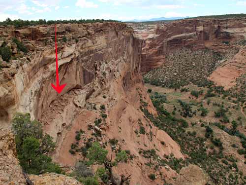
Presumable this is the ledge
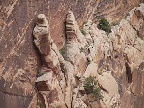
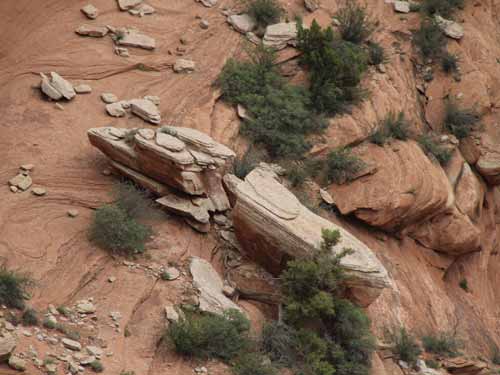
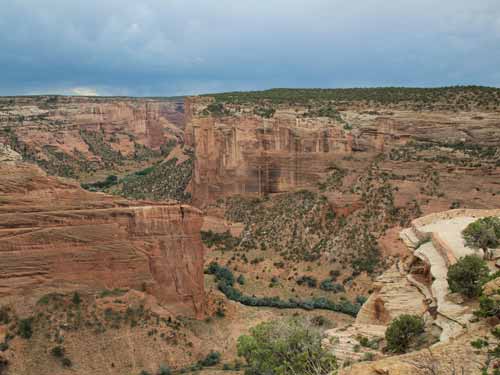
Walking down to the lookout point
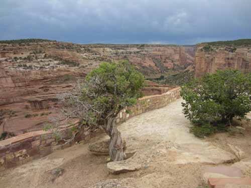
Utah Juniper...
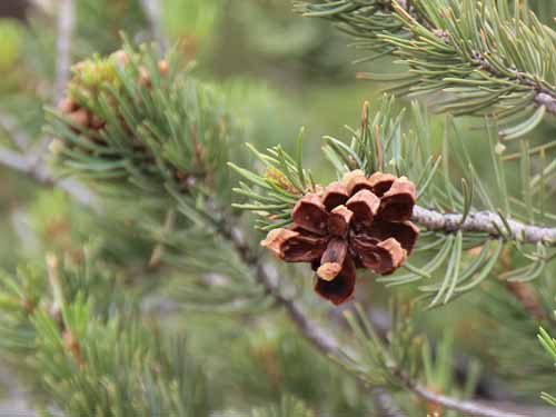
... and Pinyon Pine.
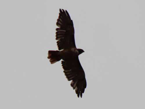
A Red-tailed hawk soars overhead.
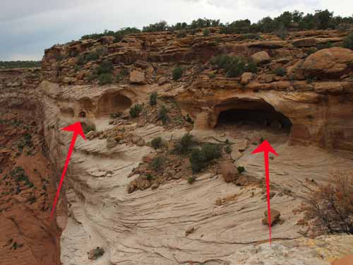
Yucca Cave with its cliff dwellings
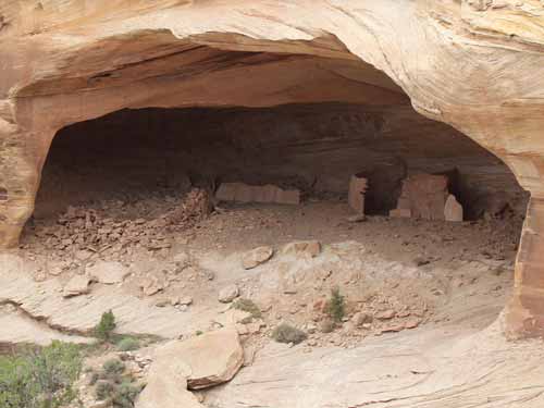
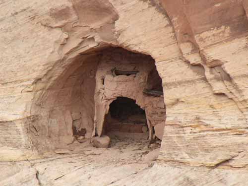
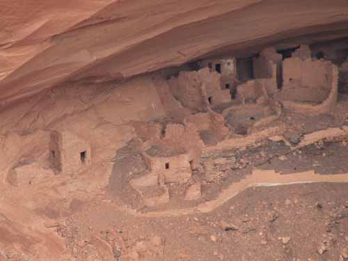
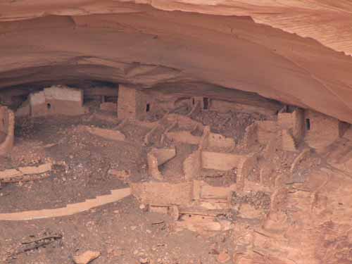
The next stop was Mummy Cave Overlook. This cliff dwelling gets its name from the discovery of two well-preserved mummies during an archeological expedition in 1880. The Navajo name for this area is House Under The Rock. It was one of the largest ancestral Puebloan villages in the canyon and occupied for nearly 1000 years up until around 1300.

Does this make us more or less of a target?
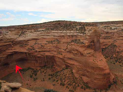
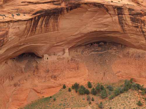
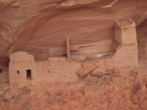
The tower complex was built in the 1280's by people who migrated from Mesa Verde.
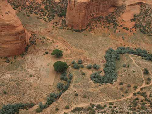
The valley floor. Note the trees still choking out the river.
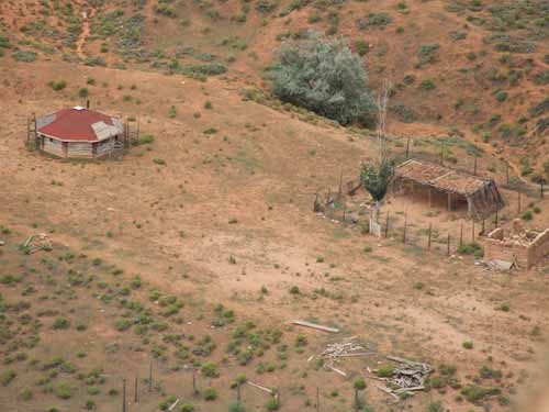
Another hogan
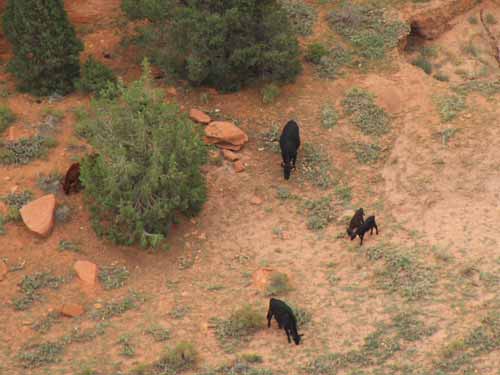
Some grazing cows
It was 1/4 mile walk across the rim of the canyon to the Antelope House Ruin Outlook, so named for its running antelope illustrations. They are attributed to Dibe Yazhi (Little Sheep), a Navajo artist who lived here in the early 1800's.
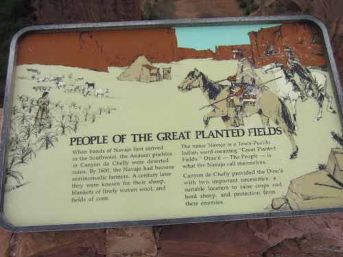
The name Navajo comes from a Tewa-Peublo word meaning "Great Planted Fields." The Navajo call themselves Dine'é (or The People). By 1600, they were semi-nomadic farmers. A century later, they were renowned for their sheep, blankets and corn crops. Corn is very important in the culture... not only for food but it is also symbolic. For example, the stalk is seen as the main path whereas the leaves are other paths of knowledge.
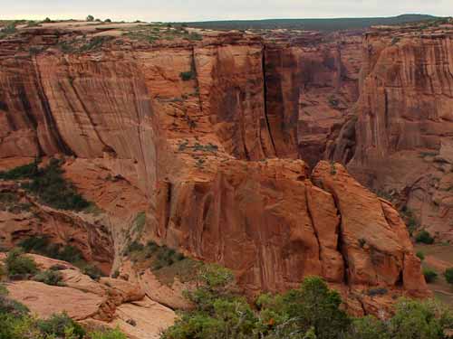
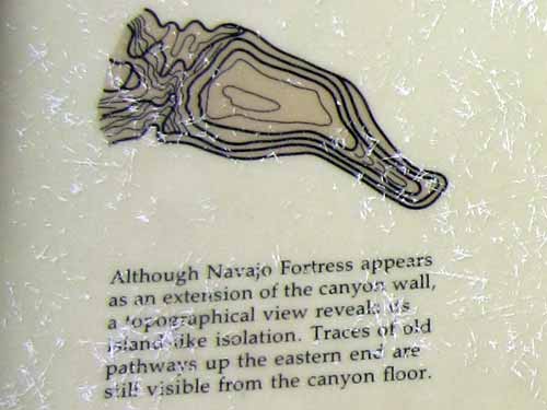
The Navajo Fortress...
By 1750, the Navajo was primarily a farmer and herdsman. Yet he also had to remain a warrior, both against other Indian tribes as well as the encroaching Spanish settlements. Raids, back and forth, continued for over 100 years. This huge rock formation, marking the junctions of the two canyons, was one of their refuges during enemy attack. Stairways of movable, notched poles were positioned to reach otherwise inaccessible areas. It was used until the 1860's.
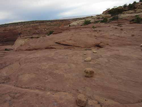
The path to the overlook
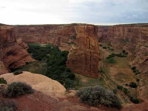
The overlook offered a great view down both canyons.
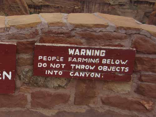
This should be a no-brainer, but welcome to people, rocks and high places.
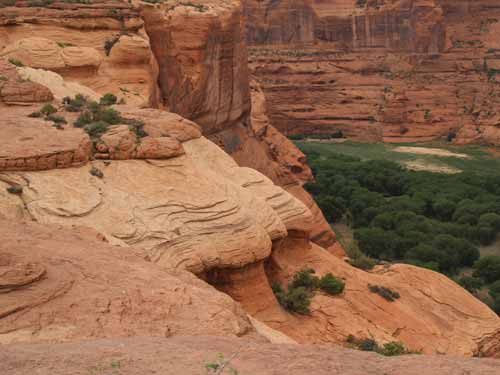
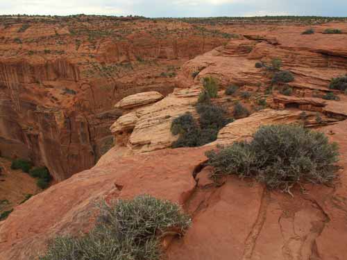
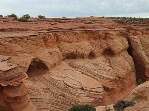
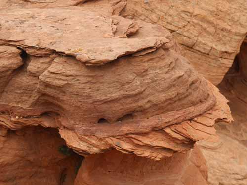
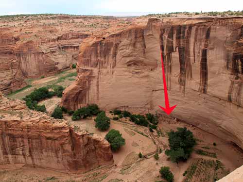
The cliff dwellings were long deserted by the time the Navajo arrived in the canyon.
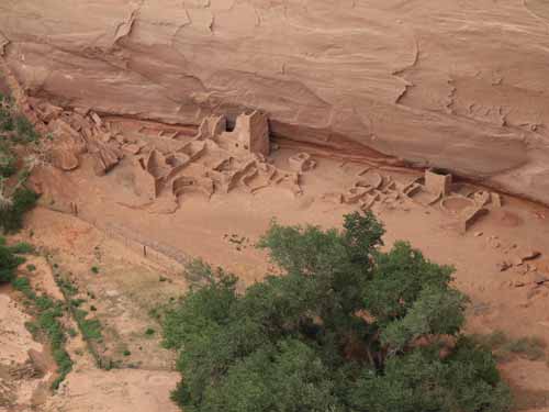
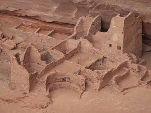
Building at Antelope House began around 700 AD and continued, on and off, for nearly 600 years. Most of the visible structures were built after 1050.
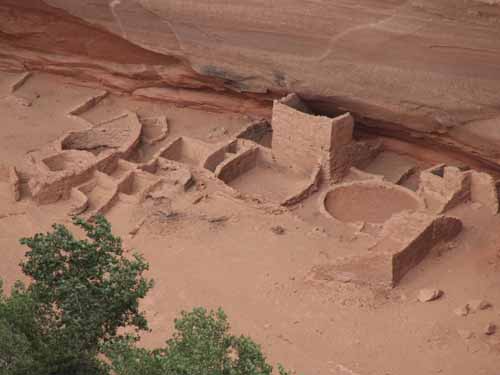
The site has an unusual circular.
We returned back to the campground and had dinner on the table by our tent... a can of chili, leftover peanut butter sandwiches, crackers, stale Oreos. It had finally cooled off to a nice temperature.
