We awoke to a braying donkey and a car alarm going off at dawn. It was cool out but a bit sticky. we went to our nearby cafeteria again... this time to sample their breakfast menu. Along with a lovely cheese omelette, I also tried a blue corn pancake.
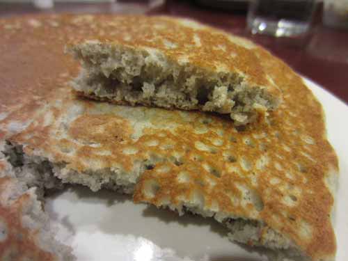
The pancake was HUGE and tasted very much like regular corn bread.
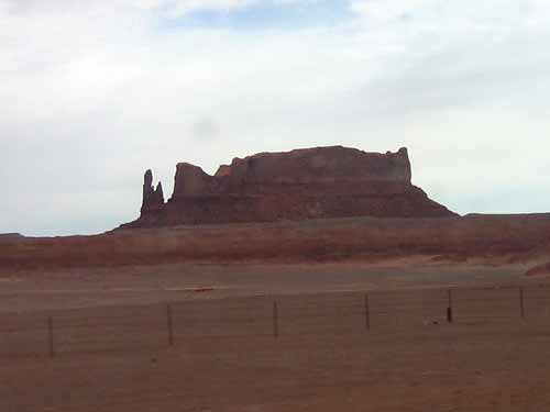
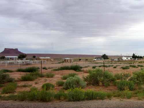
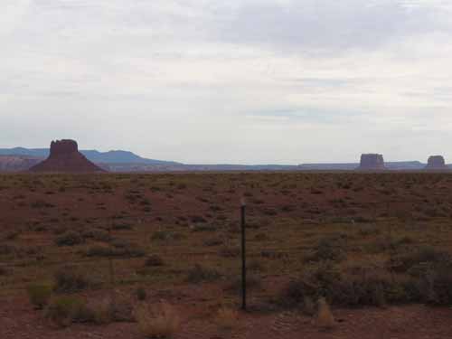
We hit the road... destination: The Four Corners and then Mesa Verde. Our drive took us through some lovely desert scenery. We were still on reservation land and passed many hogans and other homes. There was an incredible amount of trash around that clearly wasn't the result of tourists, for these were large items (such as giant pieces of molded plastic, large boxes, etc). In general, the places looked unkempt almost to the point of abandonment. Again, it was sad to see a people once so proud of being a part of the land to have dropped to this level of respect for it.

Again located on Navajo land, The Four Corners Monument is where Arizona, New Mexico, Utah and Colorado all meet. The original marker was just a simple cement pad erected in 1912. There was a long line to stand on the 'special' spot, but it went fairly quickly. The area was encircled with food and craft stands.
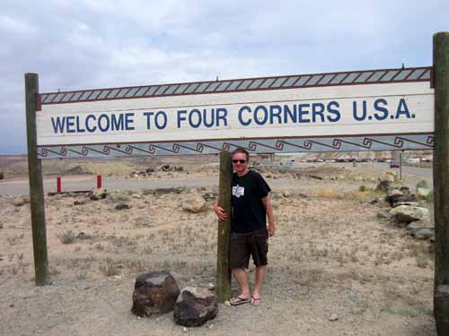
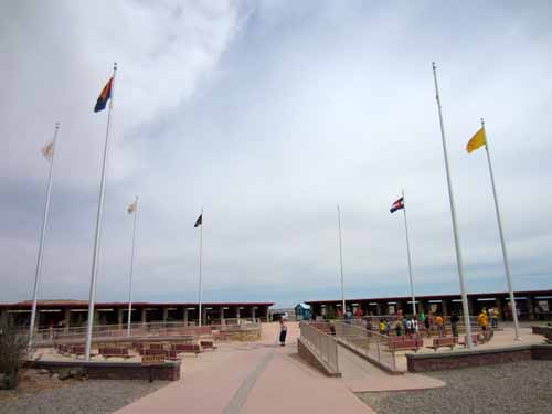
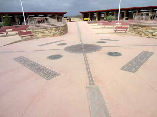
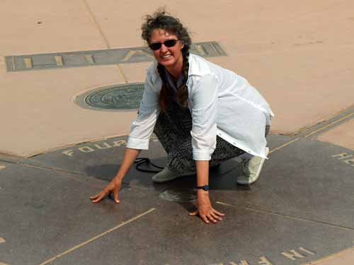
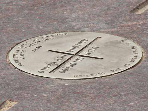
X marks the spot!

A collage of the four state seals
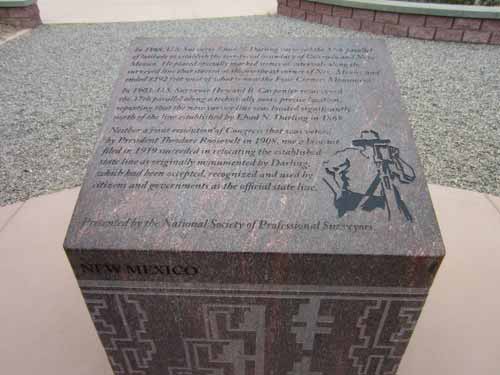
Interesting historical notes:
- The Congressional Compromise of 1850 created the territories of Utah and New Mexico, separating the free North from the slave South along the 37th parallel of latitude.
- The Colorado Territory was created in 1861. It became a state in 1876. In 1878, Rollin Reeves started from this point and marked a line going north along the boundary of the state of Colorado and the Utah Territory. He used a 66-foot long chain and a compass made of wood, glass and brass. In spite of legal challenges to move the line to a more technically precise location, his line remains intact.
- The Congressional Act establishing line separating New Mexico and Arizona was signed by President Abraham Lincoln in 1863.
- In 1868, Ehud Darling surveyed the 37th parallel of latitude to establish the territorial boundary of Colorado and New Mexico. He placed stone markers at intervals along the way. In 1903, this boundary was surveyed again, with the discovery that this new line was significantly north of the previous one. But neither Congress nor a lawsuit could succeed in relocating the state line which had been already accepted and used by citizens.
- The line between Arizona and Utah was established in 1901.
- The Washington Meridian was the reference longitude for 11 western states until the Greenwich Meridian was adopted in 1912.
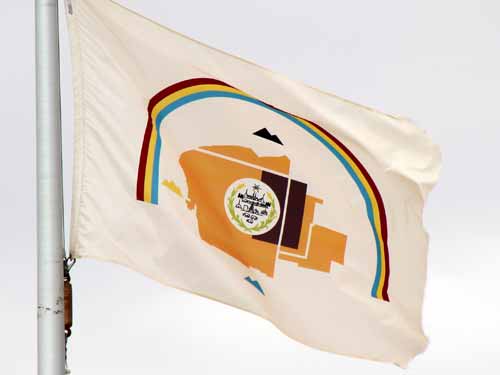
The Navajo Nation Flag was selected from 140 entries and officially adopted in 1968. The outline of the present nation is shown in copper with the original 1868 Treaty Reservation in dark brown. The four sacred mountains are shown as well as a rainbow symbolizing Navajo sovereignty. In the center are images of the sun, corn, livestock, a traditional hogan, an oil well, a sawmill, and more. A tough flag for a kid to draw in school!!
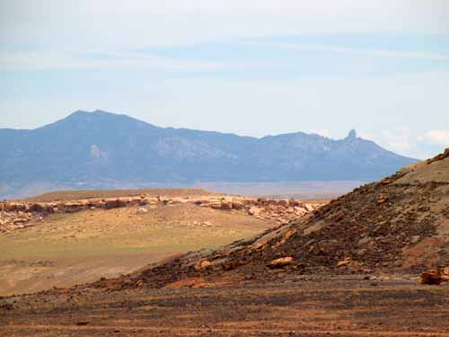
We continued our drive, stopping briefly in the Ute Mountain Tribal Park headquarters. There were some nice photos and information, but the girl behind the counter was completely uninterested in acknowledging us. Again, not our best introduction to the culture of the Ute people.
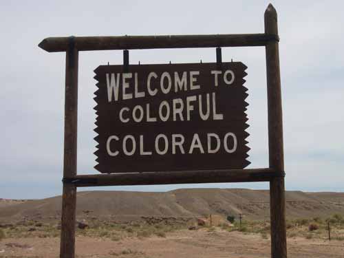
Home state! Yay!
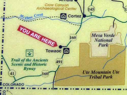
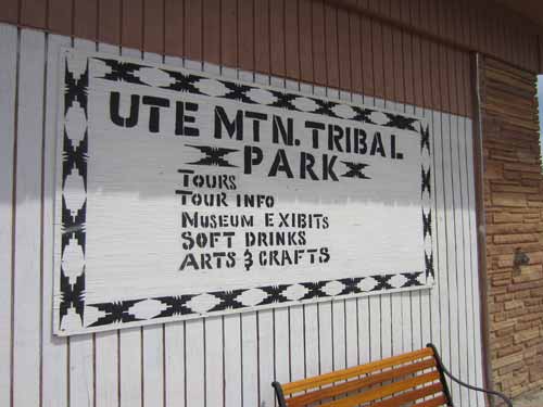
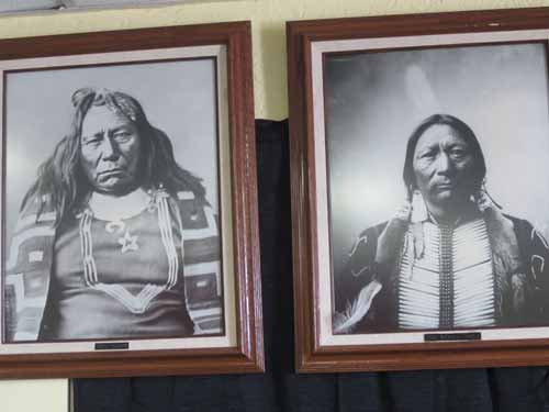
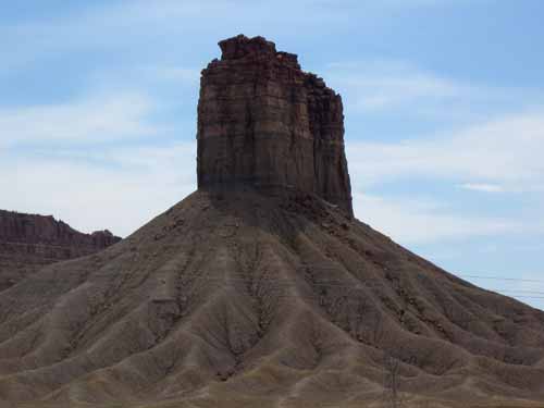
Chimney Rock across the street
We made a quick stop in Cortez for some gas and groceries, then on to Mesa Verde. It was quite hot and muggy.
Mesa Verde (Spanish for "green table") National Park was created in 1906 by President Theodore Roosevelt. It is the largest archaeological preserve in the US and the only cultural national park. There are over 4,000 archaeological sites and over 600 cliff dwellings here. Local ranchers first reported the cliff dwellings in the 1880's.
We entered the park and stopped at the visitor center. Some of the sites were free to visit and walk around, while others required a special tour (for a minimal fee). We opted to do all three paid tours: The Long House today at 4 pm, and the Balcony House and Cliff Palace tomorrow.
The park is essentially divided along two mesas: the Wetherill Mesa (containing the Long House and the Step House) and the Chapin Mesa (with the Spruce Tree House, Cliff Palace, Balcony House and several drives and walks).
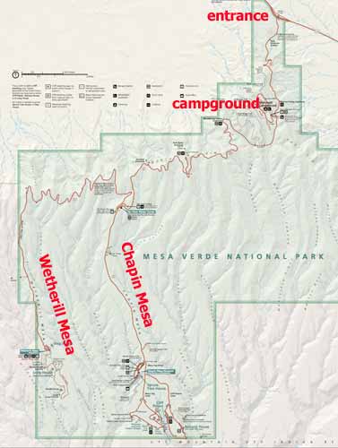
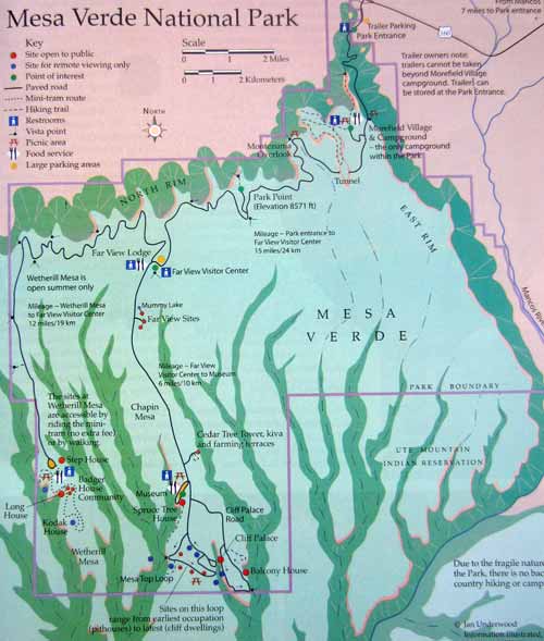
A better visual of the different mesas (the light green)
On the way to our tour, we swung into the Morefield Campground. It was quite large. We checked in at the ranger station then found a spot on Zuni Loop, the first of several large campsite areas.
We drove all the way to the far end of the Wetherill Mesa. We were early for our tour so did a self-guided walking tour to the nearby Step House. The path was easy but a bit steep. At the site, a friendly ranger provided us with lots of lovely information and a tour. The rangers get to move between the different sites, allowing them to remain highly interested in learning and exploring things in depth.
It all started back when the Wetherills, a family of cattle ranchers, befriended members of the Ute tribe near their ranch and were give permission to bring their cattle into the lower, warmer plateaus during winter. They began to hear stories of the Ancient Ones and their dwellings high, high in the rocks. The Utes never went there because it was considered a sacred place. In 1888, the Wetherills found these ruins. They began bringing people up to explore and take artifacts to sell.
In 1891, they brought Gustaf Nordenskiöld, a trained mineralogist who recorded the artifacts, took many photos and diagrammed the sites. He also removed a lot of artifacts and sent them to Sweden. Eventually the US government stepped in to protect the area from further looting in the name of science.
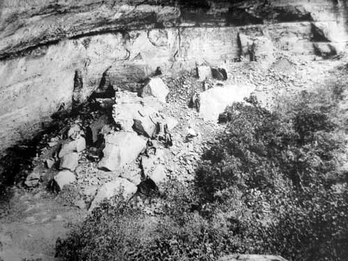
The Step House in 1929, before work was done on it. 20% of it has been rebuilt; the rest has been merely excavated.
This alcove is unique in that it actually contains two dwellings: a pithouse settlement from around 626 and a masonry pueblo from 1226.
You've heard the history several times already, so I will try not to repeat too much.
The earliest residents didn't build any structures. They lived an any hospitable cave they could find. They used spears and atlatls (spear throwers). They didn't have pottery yet so cooking was accomplished by throwing the food together with heated rocks into tightly woven baskets.
The Basketmakers first settled on top of the mesa in pithouses around the year 550. They farmed, made pottery and used the bow and arrow.
From 750 to 950, these simple houses had expanded to large villages with buildings two to three stories high. Thus they became known as Ancestral Puebloans (pueblo meaning village). They weaved, made jewelry, excelled in pottery and made advanced tools.
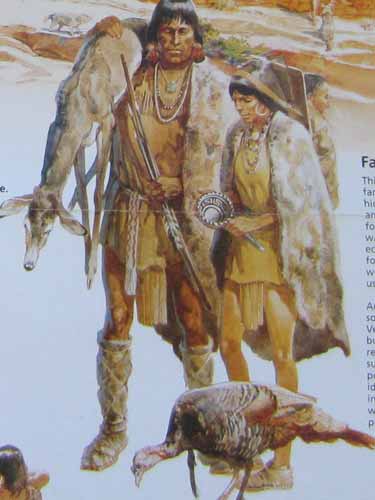
They kept dogs and turkeys as domesticated animals.
From 1150 to 1300, the people moved from the mesa tops into cliff dwellings built in the sheltered alcoves. During the 700 years that the mesa was their home, they grew corn, beans and squash. Planting and harvesting was done by hand with stone and wood tools.
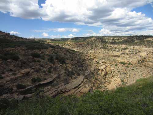
A view of the valley were were about to descend into.
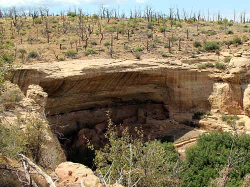
Our first glimpse of the Step House
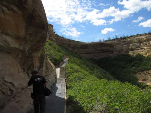
Getting closer
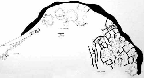
The layout: old stone steps which give the Step House its name (left), the pithouse ruins (center), the pueblo (right)
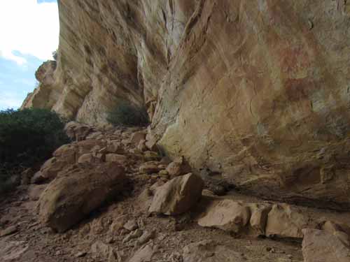
This is the old 'stairway' the people used to get to the mesa top.
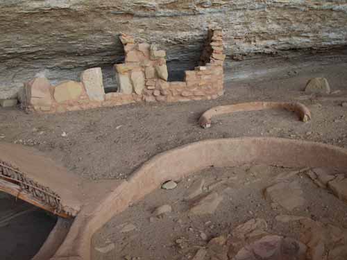
Pithouse ruins...
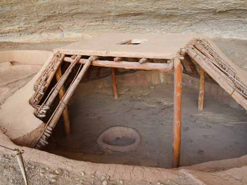
... and a partially reconstructed sample so we can still see inside. As you can see, it was built partially underground then the roof was supported with four poles. In the center was a firepit.
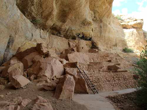
Moving along toward the pueblo
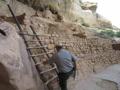
The ranger was happy to show us around! Note the ladder is like the ones from Taos, with one side being longer!
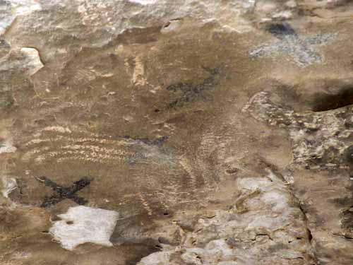
The ranger first pointed out these long rows of x's on the ceiling. Symbolic of the stars perhaps?
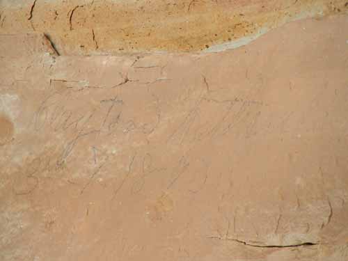
A signature of one of the Wetherills, from 1890
Then the ranger got really excited and showed us some illustrations in a book. Apparently Gustaf had discovered eight graves in the alcove.
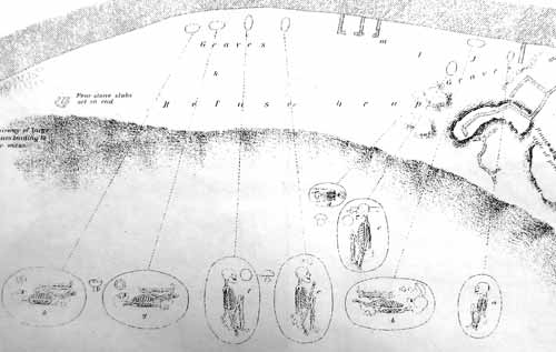
Location of the graves
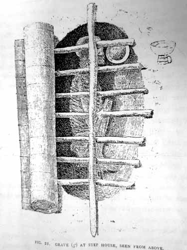
A detailed illustration of one of them
The ranger had us closely look at the pattern of sticks that covered the grave... then pointed to a couple of the carvings on the wall. Coincidence?
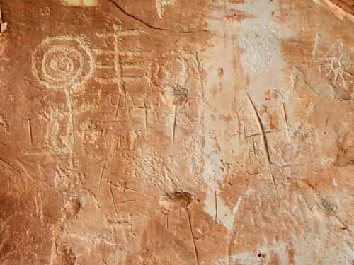
Note the symbol toward the top...
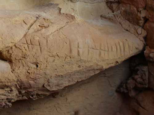
... and are these just random lines or not? Some of these questions will most likely never be answered.
He showed us a few more features of the pueblo, then climbed back down to go greet another set of people who had just arrived.
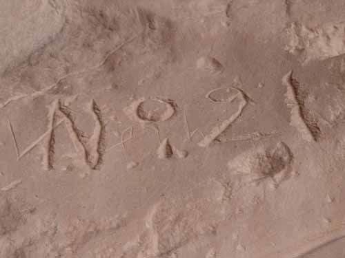
Gustaf carved this in 1891. He gave each of the sites a number. Step House was number 21.
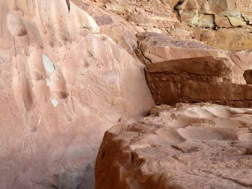
These grooves were tool sharpening areas.
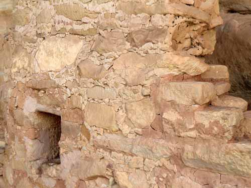
A clear view of the blocks and mortar. Rectangular blocks made for the strongest walls, but they required a lot more work to make using only simple stone axes. Poorly shaped blocks required more mortar and resulted in weaker walls prone to collapse.
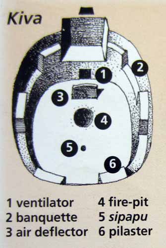
A Kiva was an underground pit, most likely used for ceremonial reasons. Almost every village or homesite had one, and some of these larger villages had several. The flat roof was made of timbers and mud and formed a type of plaza above. Entrance was by ladder through a hole. They were actually very complex in their designs.
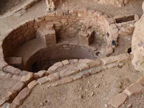
This would have been covered with a flat surface, with only a small hole on top.
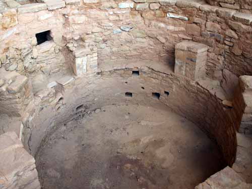
A closer look inside
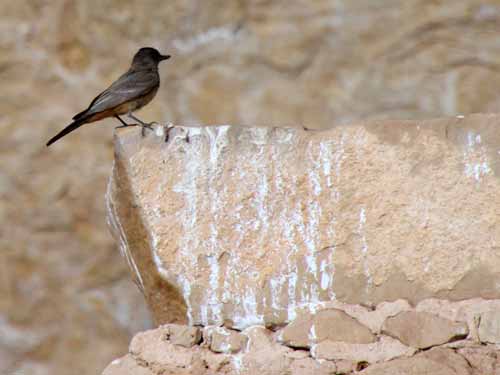
One of today's residents
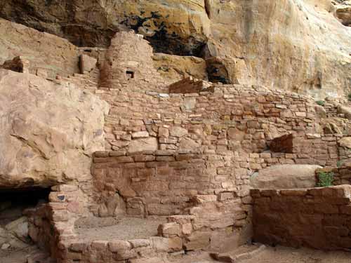
Near the top of the pueblo
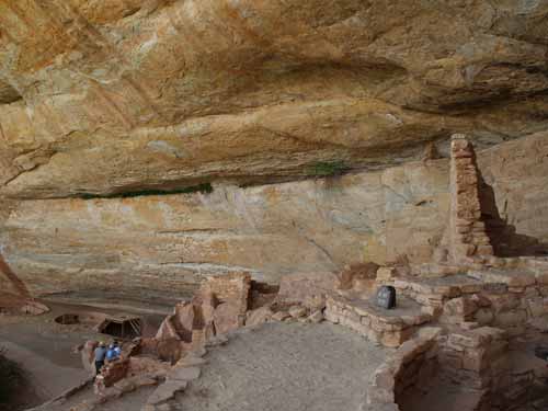
Looking back down the alcove...
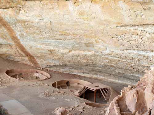
... across the pithouses...
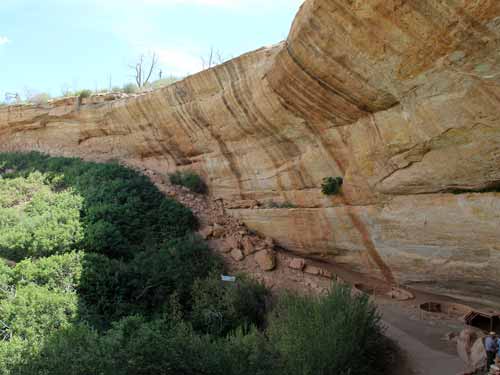
... to the old stairway to the top