It wasn't until 1901, when Abraham Lincoln Fellows and William Torrance floated down it on a rubber mattress for 33 miles and 9 days, that people were made to realize that an irrigation tunnel was feasible. And so, the 5.8-mile Gunnison Diversion Tunnel was dug from 1905-09. Today it still diverts river water for the irrigation of the surrounding farmland.
The area was proclaimed a national monument in 1933 and a national park in 1999. It contains 14 miles of the canyon's total 48-mile length.
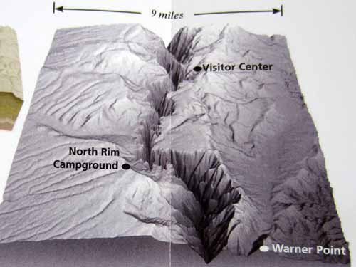
The Black Canyon (hard rock uplifted then cut through by fast-moving water). The canyon is named "black" because it is so deep and narrow that very little sunlight gets into it.
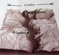
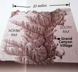
For comparison are Yosemite (hard river-cut rock later gouged by glaciers) and the Grand Canyon (soft, river-carved rock sculpted by erosion). The Black Canyon escaped glaciation or it might have looked more like Yosemite. The Grand Canyon has been eroding 3 times as long as the Black Canyon.
The Gunnison River drops an average of 96 feet per mile. In one 2-mile area, it drops 480 feet. This speed gives the water within the canyon the power to cut hard rock relatively quickly (the depth of one human hair thickness per year or one inch per century - remember, it's all relative). Rockfalls and landslides play an occasional role as well.
The river first chose this route over the land because the rock was soft (volcanic). By the time it cut down to the harder, older crystalline rock of the Gunnison Uplift, it was stuck and had no choice but to keep cutting through this hard core for 2 million years. It carves more slowly nowadays because dams upstream prevent seasonal flooding. Undammed, the river used to slam through the gorge in flood state at 12,000 cubic feet per second with 2.75-million-horsepower force.
We started the day at 5:45 am, as did many bunnies and other small critters. There was a surprising number of people up as well. It's interesting how each national park seems to have its own small culture. This was clearly a more get-up-and-go one. Others are more lingering in the morning and tend to socialize well into the small hours of the morning over a campfire.
Our goal for the day was to hike to the bottom of the canyon (and hopefully back up as well). The Gunnison Route is just one of several. It is the one recommended for beginners. It is only one mile long but with a vertical drop of 1,800 feet (549 meters).
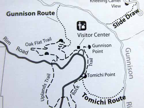
After registering, we started along the Oak Flat Loop near the visitor center. It was very pretty and peaceful, still glowing from the new light of the day. But as soon as we hit the River Access sign, it was a whole new ballgame!
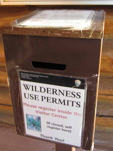
Basically you fill out a form with your info (emergency info, how long you plan to be down in the canyon, etc) and put it in the box. When you return from your hike, you let them know so they can take you off their list. At the end of the day, they see who is left on the list... and whether they think a rescue team is necessary.
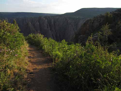
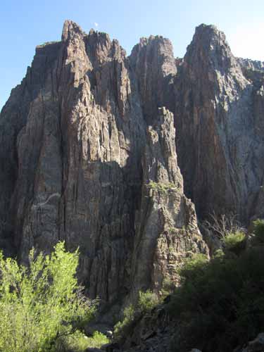
Note how 'black' the inside of the canyon still is.
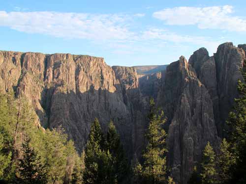
The light begins to peek in.
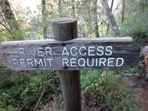
Here the hike really began.
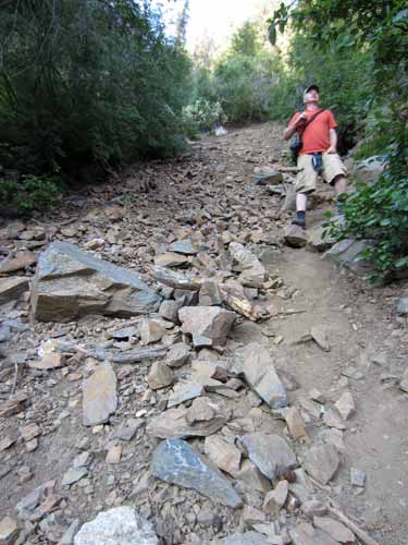
The path became very steep and very slippery. Dirt and gravel and rocks gave way with every foot step. Eventually we reached an 80-foot chain bolted to a tree to help. That thing was wonderful! But then it ended.
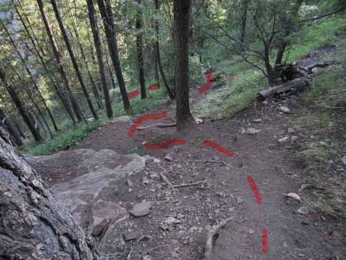
It's hard to tell in the picture exactly how steep this is! (I'm hoping the red line showing the trail might help)
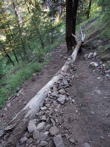
A fallen tree becomes part of the path.
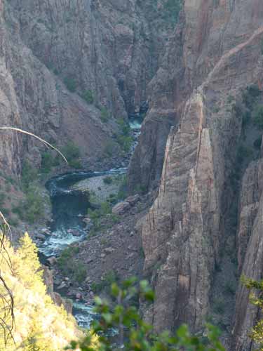
A glimpse of the Gunnison River below. We have a long way to go.
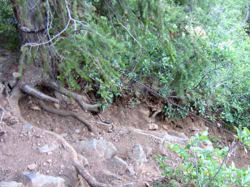
The start of the chain. This tree, with half its roots exposed, was our anchor. Hmmmmm.
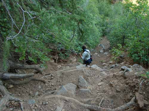
I went first.
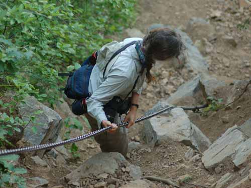
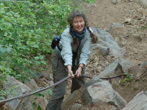
Almost down!
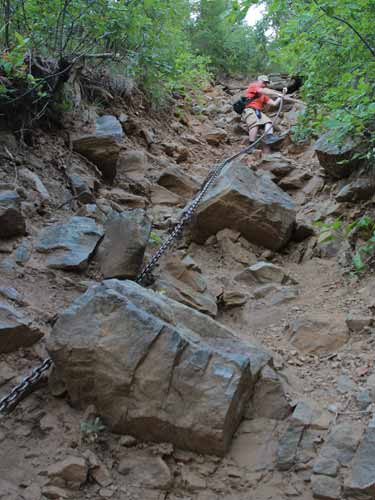
Regan followed.
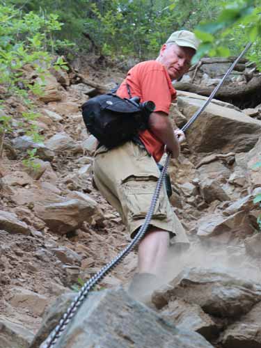
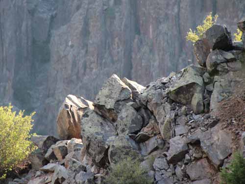
Steep angles
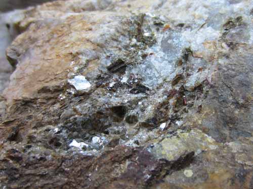
Beautiful rocks
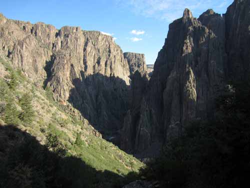
Getting lower
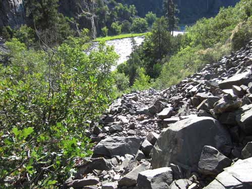
The final part of the descent was the worst.... long, unstable gravel slopes, with not always a clear path. It was slow going. But 2 hours later, we were at the river's side.
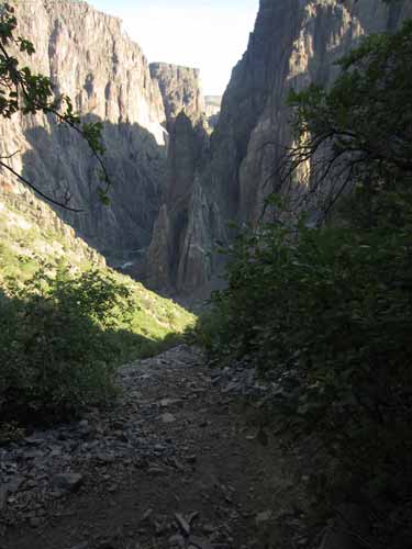
The end is in sight! Yes, this is the path.
We spent about half an hour resting and wandering along the river. There were campsites and even a pit toilet. The weather was lovely. We had left early enough that the heat of the day hadn't reached the canyon floor yet.
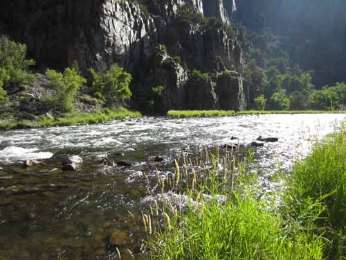
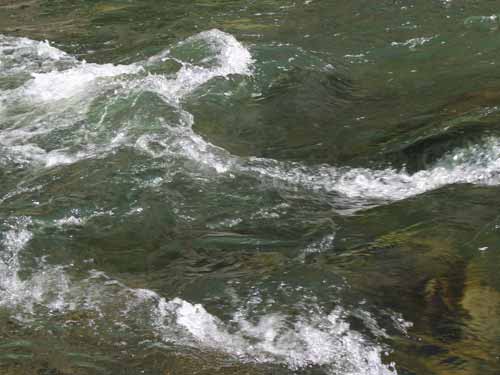
The clear, pure, quickly moving water
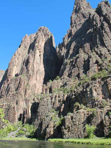
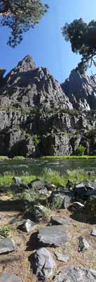
click for a larger version of Regan's vertical panorama
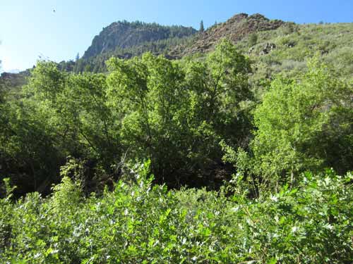
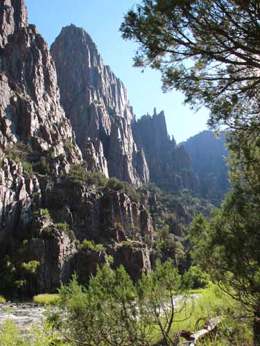
Looking back up where we had just come from (and would have to go back shortly!)
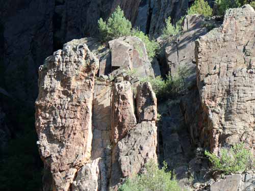
The jagged rocks of the sheer cliffs
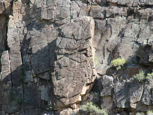
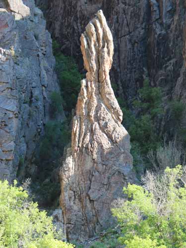
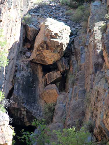
We kept hearing occasional distant booms, as if a cannon were being fired in the canyon. Could it be from giant falling rocks?
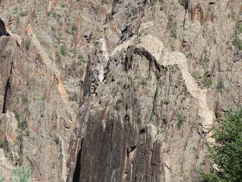
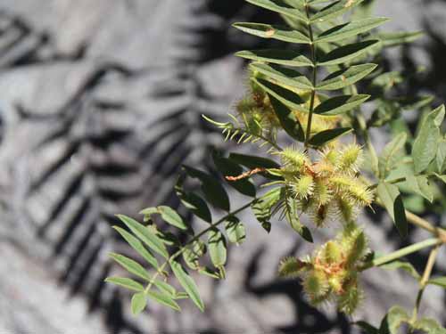
There was lots of life down here.
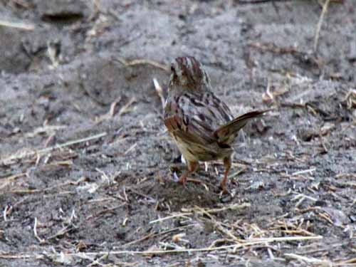
A small sparrow hops along. There was evidence of larger animals as well, such as deer tracks in the soft sand.
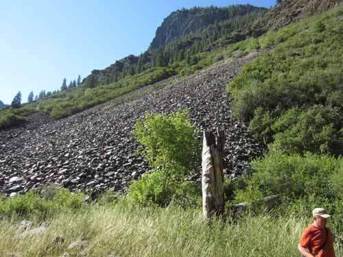
A rocky slope, not unlike the one we had come down on. Regan is thrown in for scale (his job as 'insignificant human').
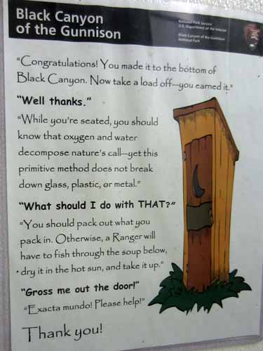
Like, totally!
Going back up was a bit trickier than going down was. As you may remember, I mentioned that the trails on the rocky slopes weren't always obvious. And so, we ended up getting lost, finding ourselves standing on the tip of a large ledge overlook. It cost us a fair chunk of time (and stressful fear of heights for me) getting back to a spot we recognized and then trying a different route. Meanwhile, the sun had started to heat up. Fortunately there was still ample shade from the numerous trees. We finally found the bottom of the chain and were on our way to the top again. We arrived back at the visitor center at noon.
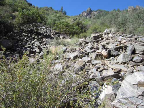
The trail... maybe?
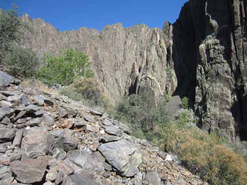
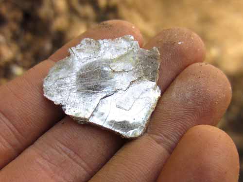
Ooooh... sparkly!
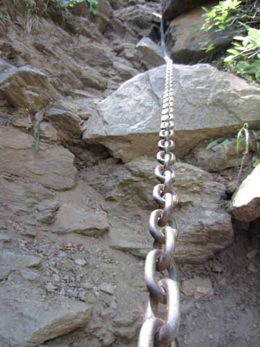
Never have I been so happy to see a chain before!
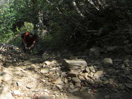
Hauling ourselves up