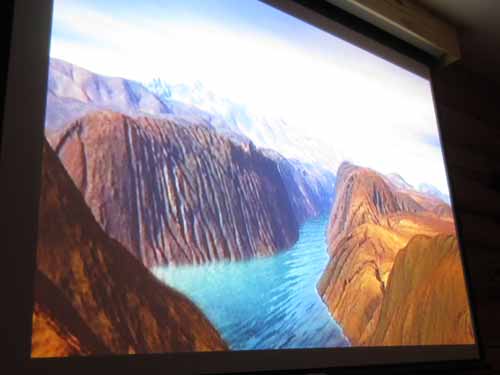
The movie did a lovely job.
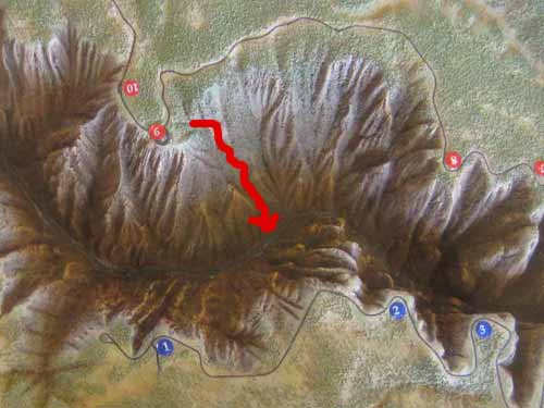
A model of the canyon. The arrow shows the (approximate) route we climbed.

It is doubtful that Captain John Gunnison ever even looked into the canyon in 1853, and yet it (as well as the river and the nearby town) bears his name.
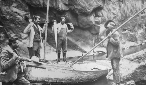
In 1900, five men attempted a trip with two wooden boats to locate a site for the Gunnison Tunnel. After 3 weeks, the local townspeople gave up on the men and, convinced they had drowned, stretched a net across the river at the mouth of the canyon to catch the bodies. Fortunately they never came. The men, cold, wet and hungry, had abandoned the mission and eventually were able to scramble their way to the rim.
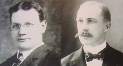
These are the two guys, Torrence (left) and Fellows (right) who explored the canyon on an inflatable rubber air mattress in 1901.
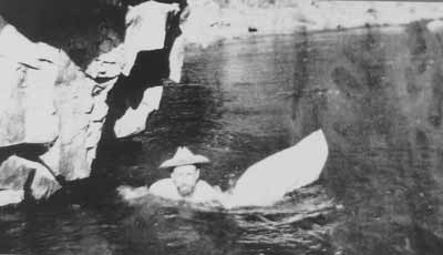
"There were deep pools... where we were obliged to swim, into which the water boiled from the caves above and sucked out again through the crevices between the boulders below. In one of these pools I was drawn completely under water in an eddy. I fully expected to be drawn down into the crevices of the rocks below, but by dint of the hardest kind of swimming, succeeded in getting into still water. At this time Torrence felt that he would never see me again."- Abraham Lincoln Fellows
We headed back to the tent and rested for a while. There were many animals about.
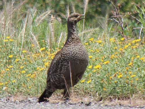
A female Gunnison Sage-grouse. This species of sage-grouse is found south of the Colorado River. They are about 1/3 smaller than the typical sage grouse.
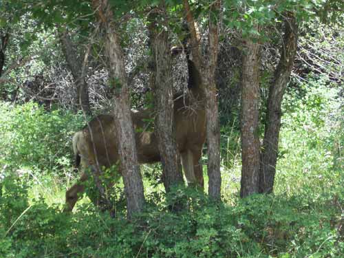
The deer often made strange grunting noises and they meandered about.
A little later in the afternoon, we headed out to see some of the viewpoints. From Tomichi Point, we walked a short piece of the Rim Rock Trail back to the visitor center and out to Gunnision Point.
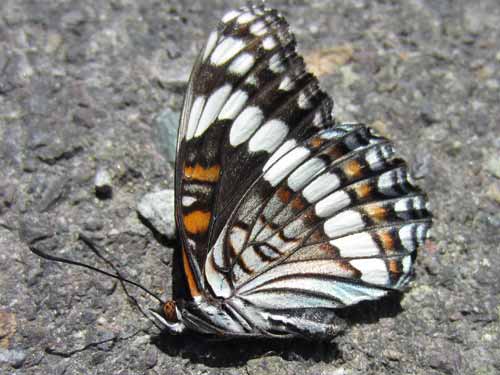
There were many butterflies around the parking lot... although they didn't look very well. Perhaps the heat?
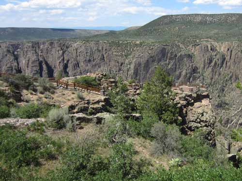
The Gunnison Point overlook
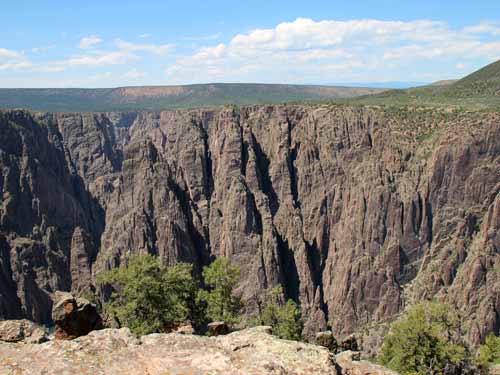
Over a billion years ago, molten rock was squeezed into fissures, forming light-colored bands. As the hot fluid cooled and hardened, minerals formed into crystals... hence all the shiny mica, feldspar and quartz. These lighter bands are called pegmatite dikes and are more resistant to erosion than the surrounding dark gneiss (pronounced 'nice' - one can have endless fun with this... especially when one also adds 'schists' to the mix!). They therefore weather more slowly, resulting in the fins on parts of the canyon wall.
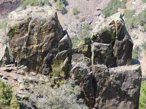
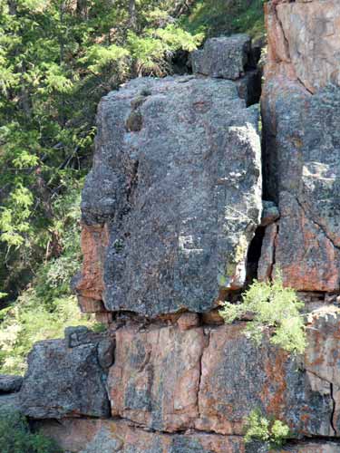
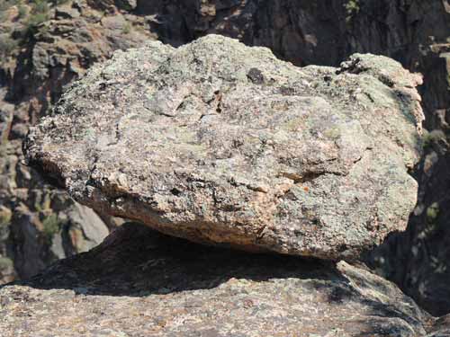
Precarious!
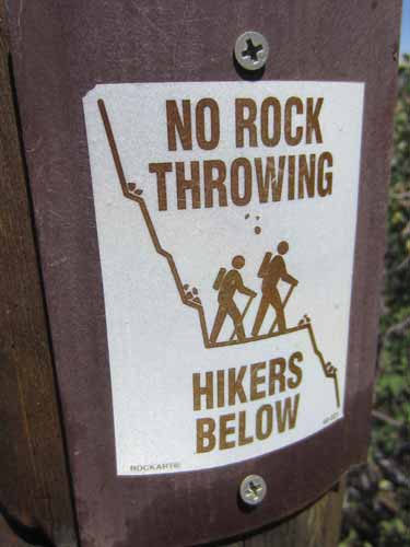
Surprisingly, some people have to be told this.
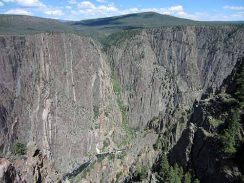
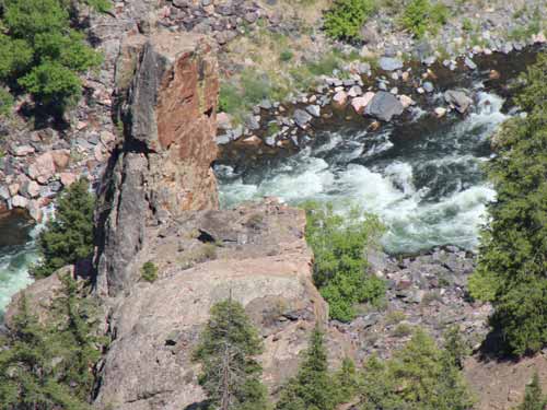
Note the river far below
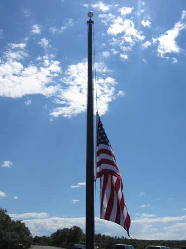
Back outside the visitor center, we had a chance to ask a passing ranger about the flag at half mast. Apparently 19 firefighters were killed in Arizona last week. Never a good thing.
Our next stop up the road was the Pulpit Rock Overlook.
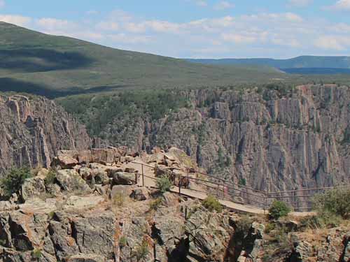
The overlook
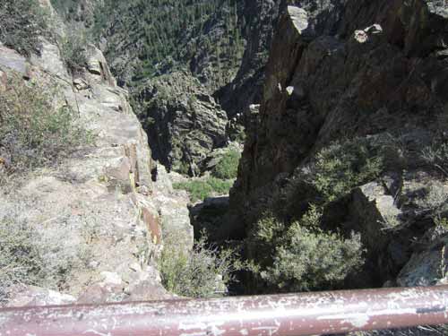
Looking down. Sometimes the trails to these overlooks crossed some pretty steep spots!
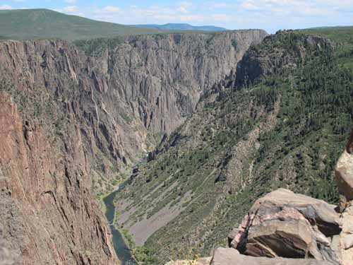
From this picture, it is easy to see how the south rim (on the right - the side we climbed down) has eroded back farther than the north rim (on the left). Since the south rim faces north, it doesn't receive as much sun, so it doesn't dry out as quickly. Since moisture is an important factor in erosion, a wet slope will tend to erode faster than a dry one.
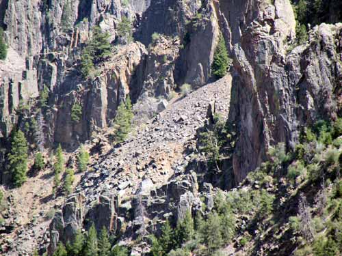
This looks not unlike the *explicative* stuff that we climbed down.
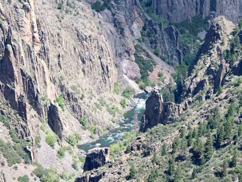
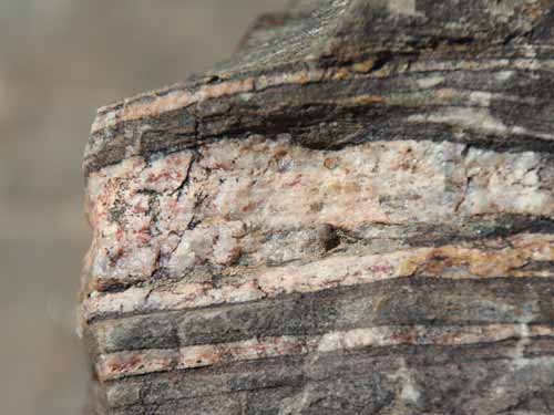
Striated rocks near...
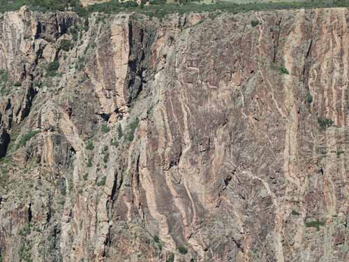
... and far.
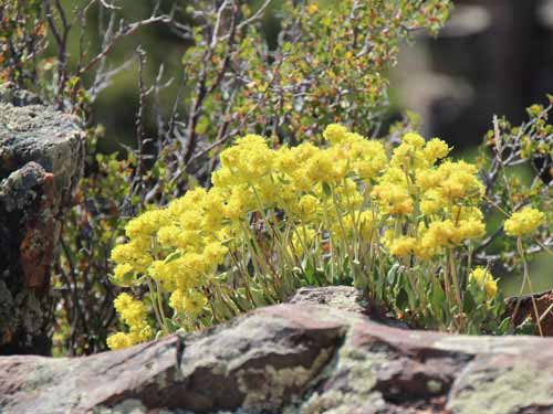
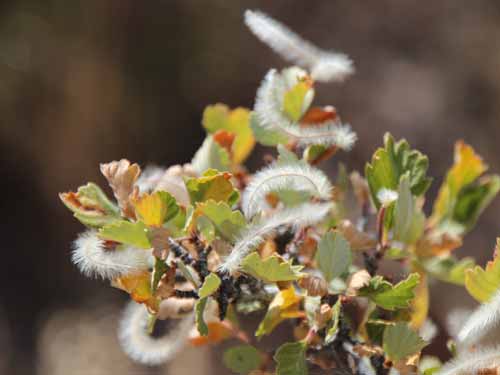
It was then onto Cross Fissures Overlook.
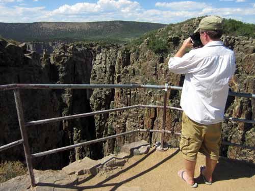
Some of the overlooks had railing like this, but others didn't have anything. And these points could get rather windy!
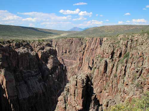
We weren't really sure what the 'cross fissures' were (just like we never actually determined which one was pulpit rock).
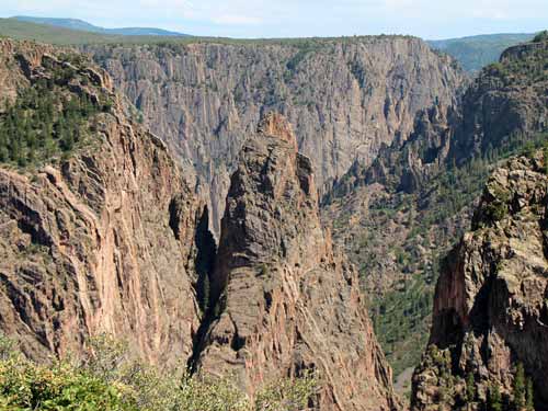
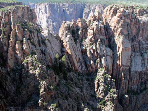
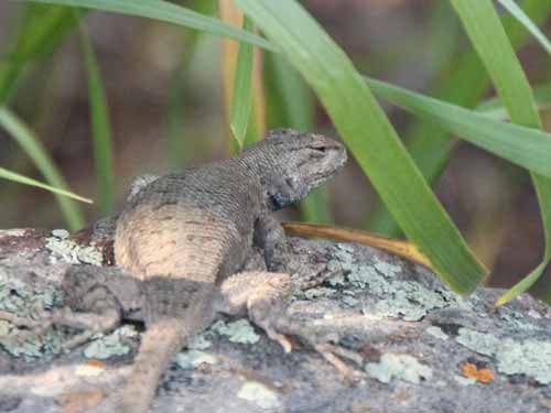
Rock Point was the next outlook down the road.
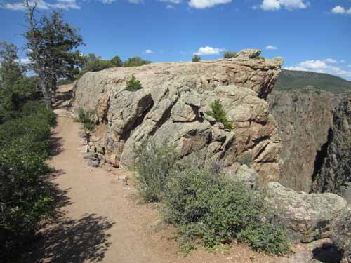
Walking to the overlook
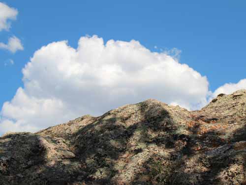
Patterns of sky and rock
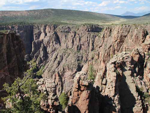
The grand view
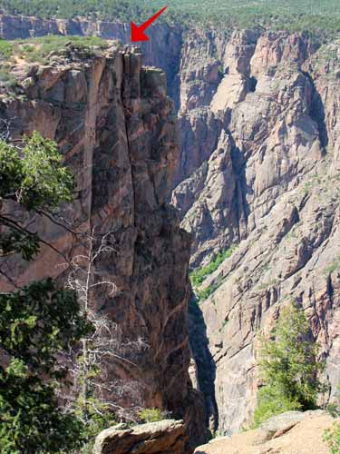
A bit down the canyon to our left was the next viewpoint, Devil's Outlook...
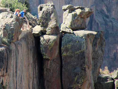
... For a sense of scale, these are some people at the viewpoint from the photo above.
