AMARILLO (Day 1)
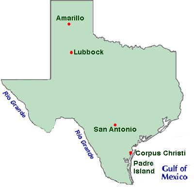
The gameplan was to pass through Amarillo and spend a couple days in San Antonio. We'd then pop down to Corpus Christi for a day before making the long drive back (overnighting in Lubbock).
It was going to be a 7-hour drive from Boulder to Amarillo, since instead of taking the faster freeway, we decided to meander down the eastern side of the Colorado, making our way down U.S. Highway 385. Known as the "Least Traveled Road In Colorado" (which is apparently different from the Loneliest Road (which is the US 50), it spans 318 miles, from Nebraska down to Oklahoma. We passed through miles and miles of prairie land and small towns such as Kit Carson and Eads.
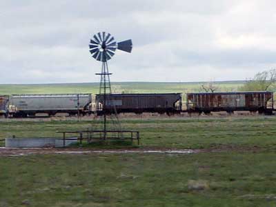
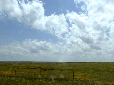
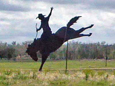
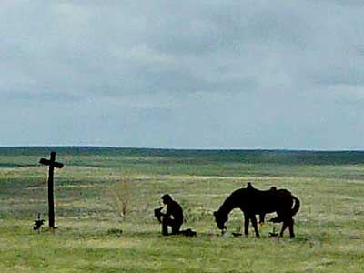
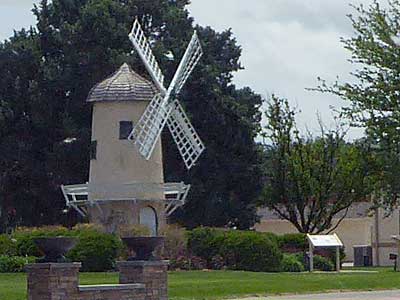
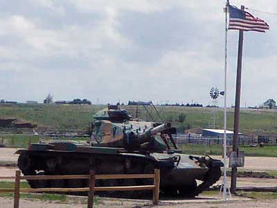
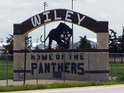
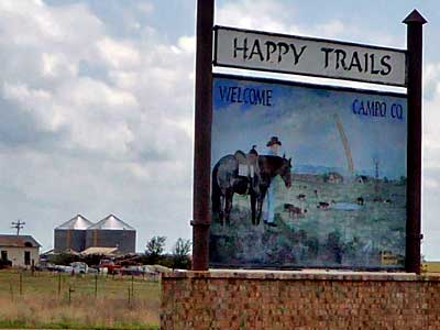
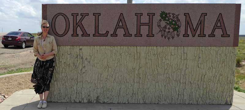
We cut across the western part of Oklahoma and continued down into Texas.
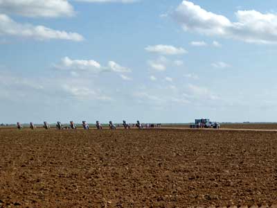
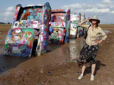
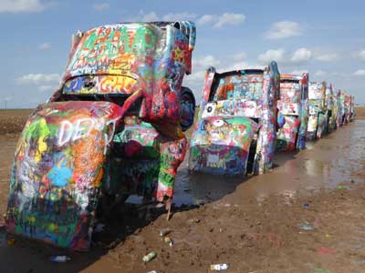
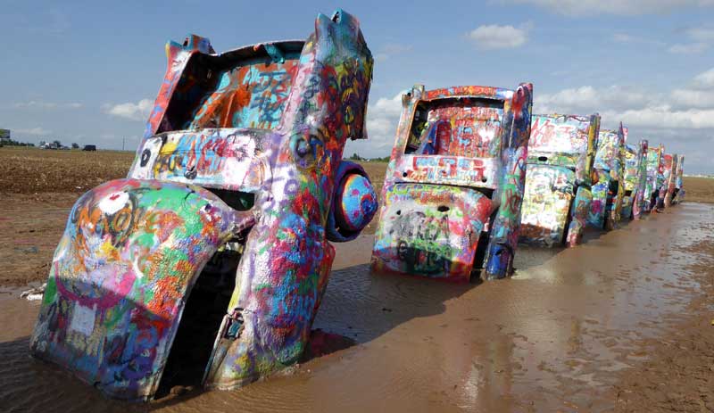
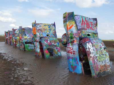
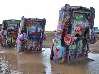
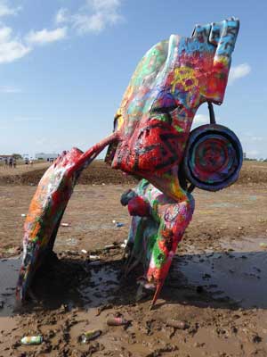
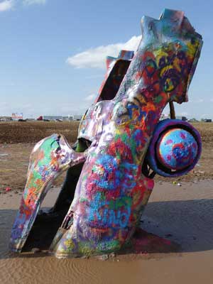
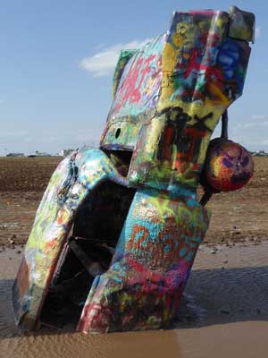
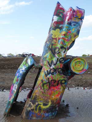
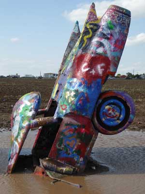
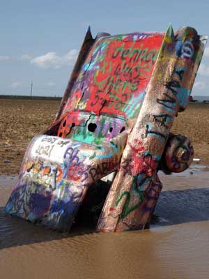
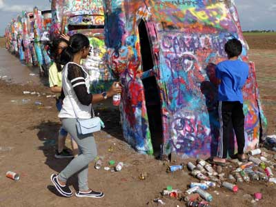
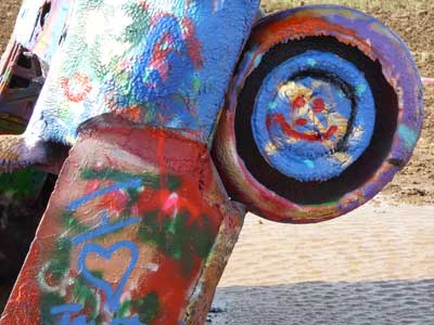
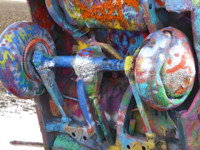
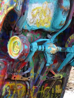
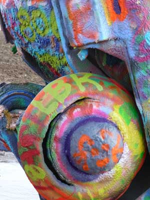
Our first stop in Amarillo was the Cadillac Ranch. Ten Cadillacs (ranging in years from 1949 to 1963)are partially buried nose-first in the ground as to show the evolution of their tailfins. Created in 1974 by Chip Lord, Doug Michels (both architects) and Hudson Marquez (an art student) and funded by Stanley Marsh 3 (a local millionaire), the cars were relocated here in 1997, about 2 miles from the original location.
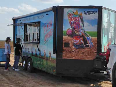
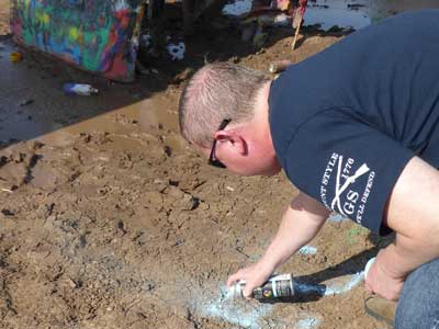
It was free to enter but there was a small stand if you wanted to buy some spray paint (graffiti on the cars was encouraged as a means of public interaction with the art site). As we walked in, a couple gave us their cans of unused pain. Unfortunately it had apparently rained quite heavily the day before, so a massive muddy puddle prevented us from getting close to all but the first car... we we just ended up spraying the mud nearby. The wind was SUPER strong the entire time!

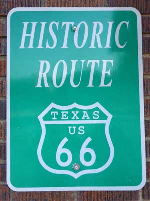
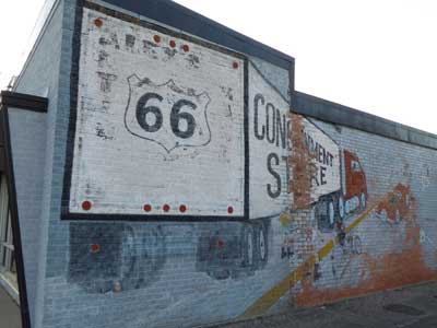
We checked into our motel on the west end of town, then made our way back to the Route 66 historic district located on 6th Ave.
Originally, auto trails were owned by private organizations. But in 1925, the government created the U.S. Highway System, a nationwide network of numbered highways. In general, odd-numbered routes would run north-south and even-numbered ones east-west. US 66 would be the shortest, year-round route between the Midwest (Chicago, Illinois) and the Pacific Coast (Santa Monica, California), covering a total of 2,448 miles and reducing the trip by over 200 miles. It also connected isolated, rural communities that had no prior access to a major national thoroughfare. Road signs were erected in 1927 but it wasn't completely paved until 1938. In 1956, however, the Interstate Highway Act was signed into existence by President Dwight D. Eisenhower who felt that more direct routes were a necessary component of a national defense system. Gradually parts of the once-great highway began to be upgraded or bypassed. By the late 1960's, much of it had been replaced by Interstate 40 and it was officially removed from the U.S. Highway System in 1985. And so, it is no longer possible to drive Route 66 uninterrupted all the way from Chicago to L.A... although pieces of the original road still survive.
Well if you ever plan to motor west
Travel my way, take the highway that's the best
Get your kicks on Route 66
Well it winds from Chicago to L.A.
More than two thousand miles all the way
Get your kicks on Route 66
Well it goes to St. Louis, down to Missouri
Oklahoma City looks so, so pretty
You'll see Amarillo, Gallup, New Mexico
Flagstaff, Arizona, don't forget Wynonna
Kingman, Barstow, San Bernardino
You get hip to this kind of tip
And go take that California trip
Get your kicks on Route 66
- Route 66, written by Bobby Troup
The route cuts across this top section of the state (known as the Texas Panhandle) for 177 miles. Today, this section of it in Amarillo is filled with crowded restaurants, loud music and classic cars and motorcycles.
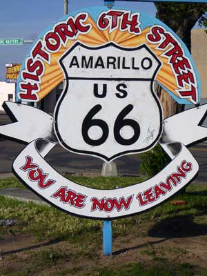
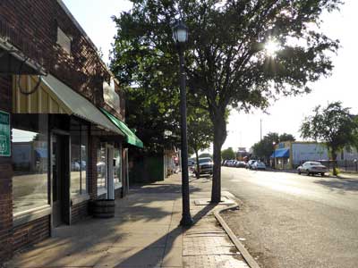
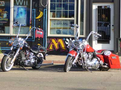
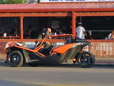
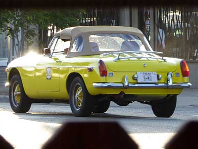
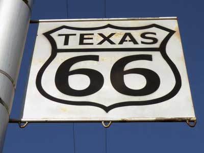
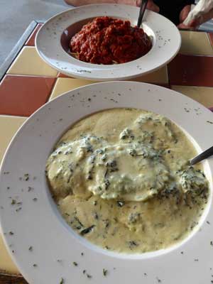
We walked around for a bit then found a slightly quieter restaurant along the hectic street.
return • continue

