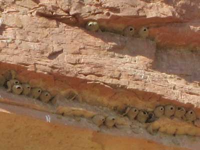
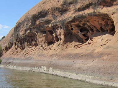
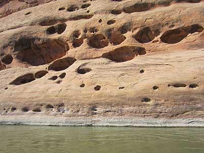
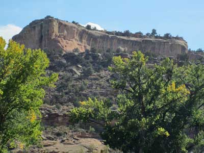
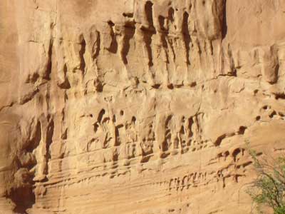
Swallows built their nests in small overhangs in the cliffs.
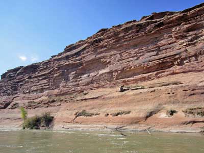
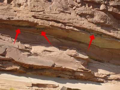
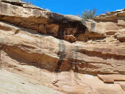
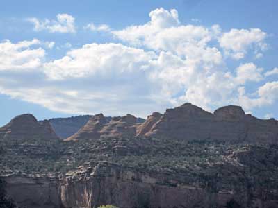
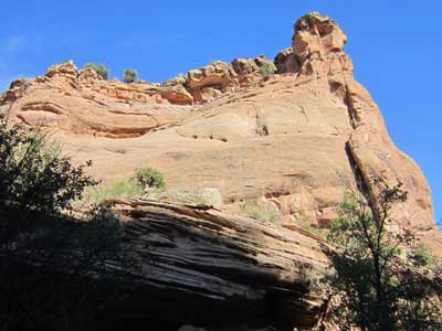
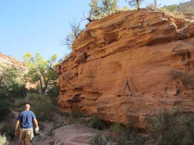
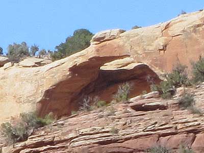
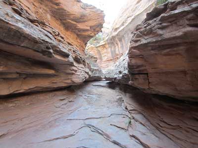
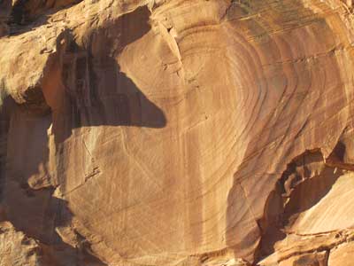
The dark lines indicate this is the site of a seasonal waterfall.
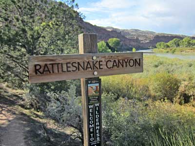
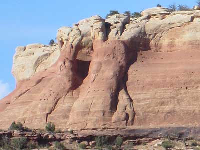
We kept track of the curves and landmarks along the river so we would know where to pull over for Rattlesnake Canyon (Mile 3.24, from Loma). The map feature on my phone also usually had enough signal so we could follow along with that as well.
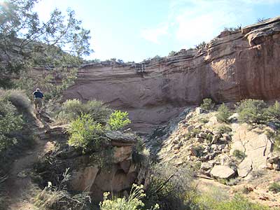
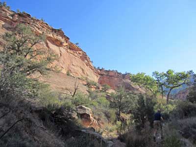
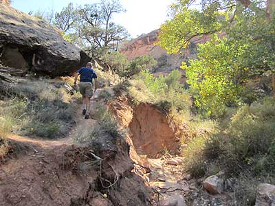
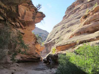
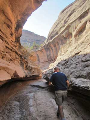
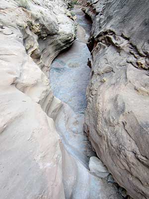
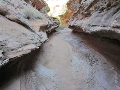
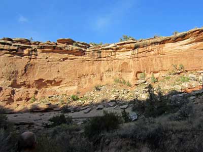
The full hike (all the way to the arches) was a steep 5 miles round trip with plenty of scrambling, so we just decided to go as far as felt reasonable. Cliff had caught some kind of bug on his previous rafting trip and wasn't feeling tiptop. It was also quite hot out! We mostly just followed the bottom of the canyon.
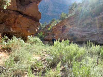
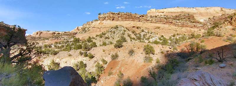
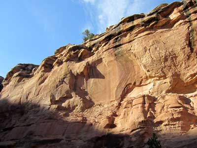
As we approached the end of a side canyon, we made a scramble to the top of a ridge to get some nice views.
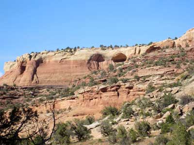
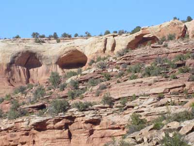
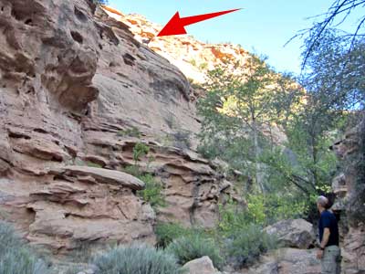
(right) Possibly one of the arches we could have hiked to. My zoom makes it look close but it was still VERY far away.
We headed back the way we had come.
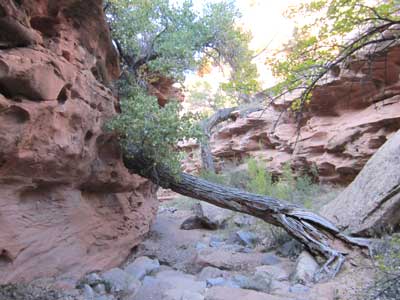
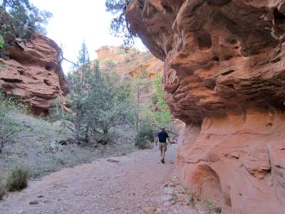
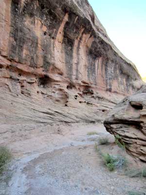
The path
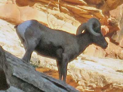
A bighorn sheep wandered along the cliff edges overhead!