SHOSHONE FALLS (Day 4 - part 4)
Next on our list was Shoshone Falls.
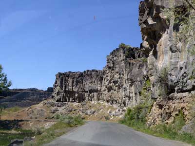

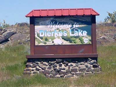
A 1.5-mile trail lead to the jump site, but since it was on private property we wouldn't have been able to climb it. The trail looked very steep and rough anyway. Up the road was Dierkes Lake, which we decided we'd check out instead.
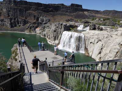
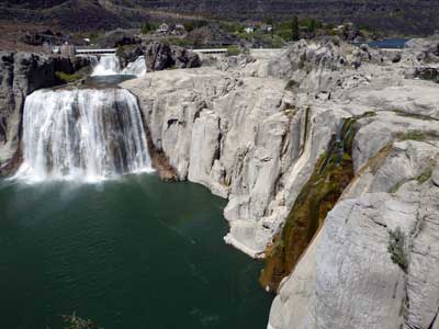
The first overlook. Only one small section of the falls was flowing, but it can span 1,000 feet and has a drop of 212 feet (45 feet more than Niagara Falls).
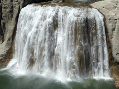
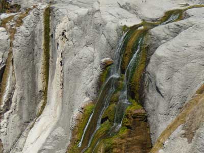
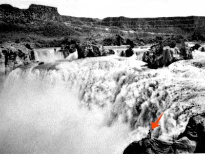
The fall's potential! Notice no concrete overlook platform or metal railings, just two pieces of guide rope. Ah the good ol' days!
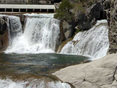
The upper portion of the falls, with a piece of the diversion dam visible in the background
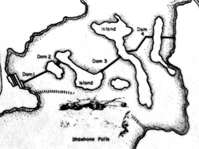
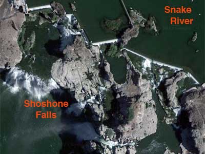
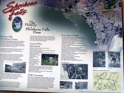
The concrete diversion dam is about 800 feet long. Its four sections are separated by rock islands. (historic layout from 1907 ... and today's satellite image with some updates)
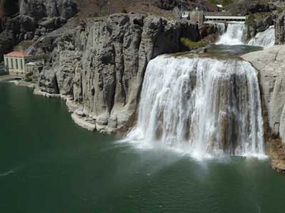
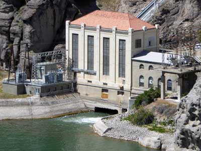
In 1900, I.B. Perrine sought investors for a hydroelectric plant. Seven years later, a functioning 500-kilowatt plant was in operation. Today, the modernized 137-foot-long powerhouse contains three turbine/generator units and produces an annual average of 90,000 megawatt-hours of electricity.
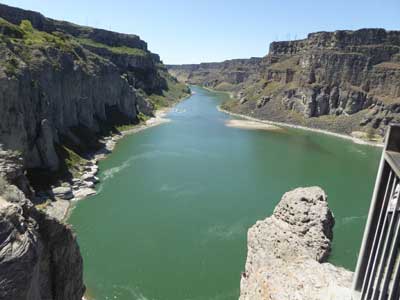
Looking down the Snake River
As we walked to the second overlook, we passed many informative signs.
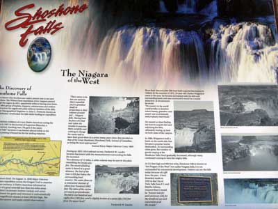
While several non-Native American trapper and mapping expeditions passed by in the early 1800s, everyone apparently missed the falls. It wasn't until 1847 that the first written evidence appeared in the journal of a Canadian priest, Augustine Blanchet, who was traveling west. He named it the Canadian Falls. It was renamed to the Great Shoshonie Falls two years later by a military expedition led by Major Osborne Cross, in honor of the local tribe who showed it to him.
In 1886, Charles Walgamott bought the land on both sides of the canyon, establishing a tourist hotel on the south side. The hotel eventually disappeared and a land donation to the city in 1932 ensured that it would remain commercially undeveloped.
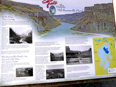
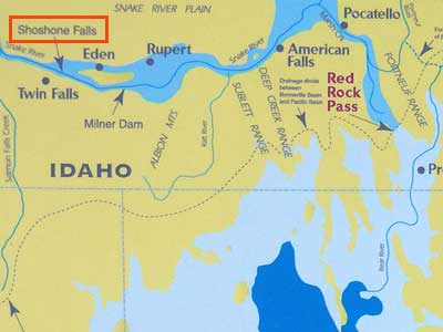
We learned a bit more about the great Bonneville flood. The natural rock barrier that broke was at Red Rock Pass. A 350-foot-high wall of water scoured the canyon. The flood lasted about 6 weeks but water continued to flow from the lake for a year.
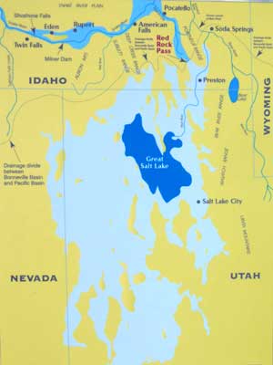
The original size of the lake, with the darker blue Great Salt Lake for comparision
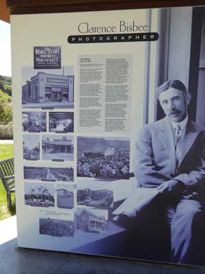
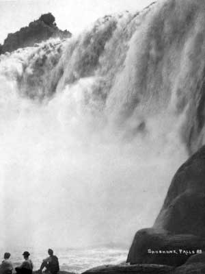
In 1904, the town of Twin Falls had potential. It simply needed more people. And you get people through advertising. In 1906, Clarence Bisbee was hired from Illinois as a photographer. He took photos of the buildings, schools, businesses, irrigation systems, parks, celebrations, people, and of course the falls. He retired in 1939. Today, over 2,350 of his images still tell the story of the town's beginnings.
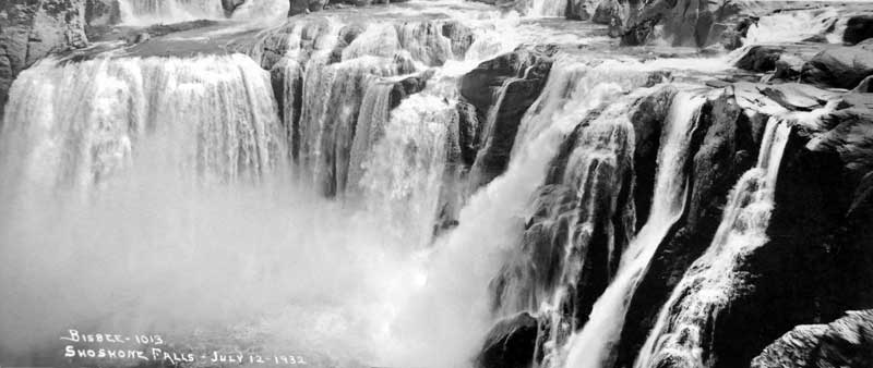
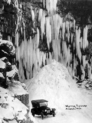
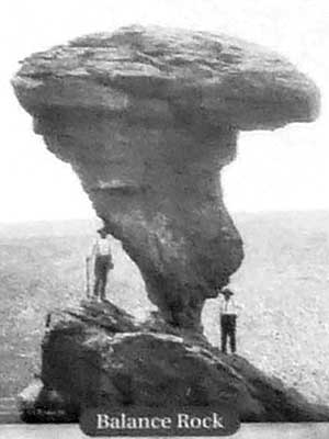
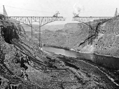
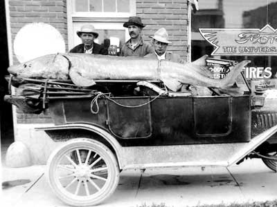
Perrine Bridge 1927 ... A massive sturgeon
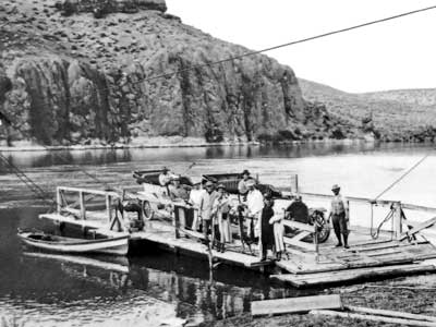
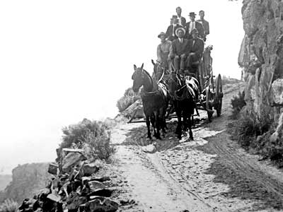
River ferry above Shoshone Falls 1912 ... The roads and transportation of the time
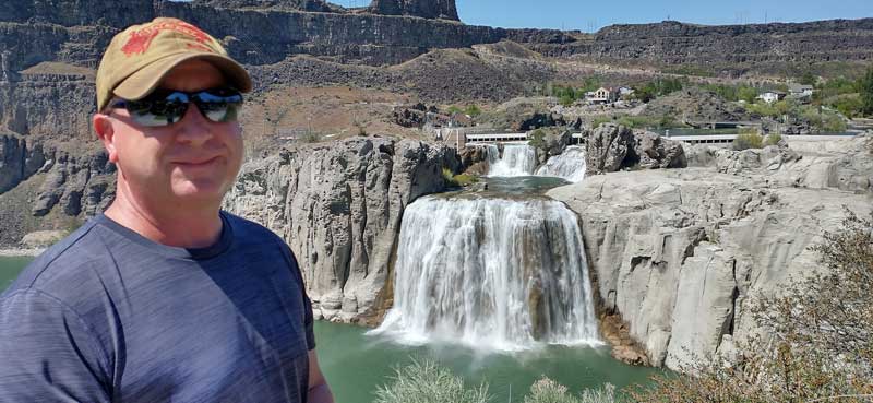
Overlook #2
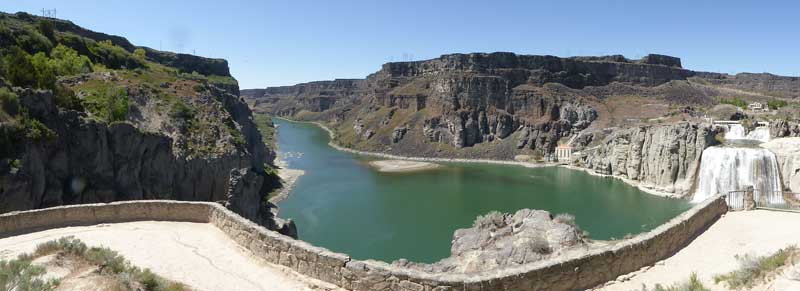
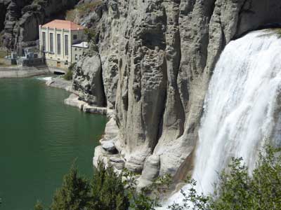
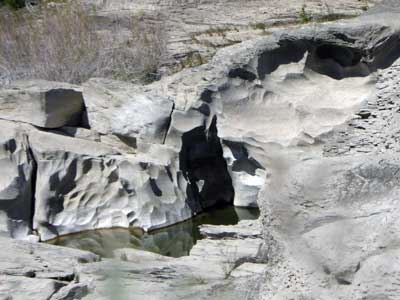
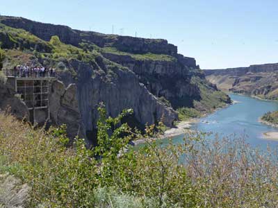
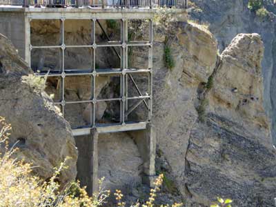
Another overlook farther down ... with "interesting" support
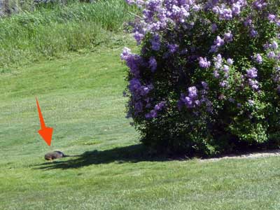
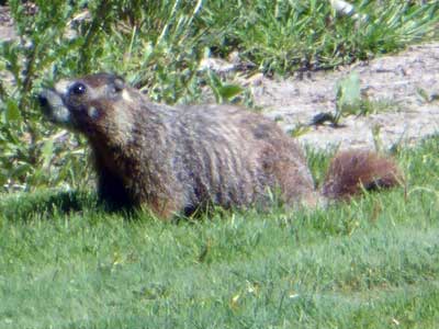
A yellow-bellied marmot scampered about in the lawn.
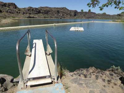
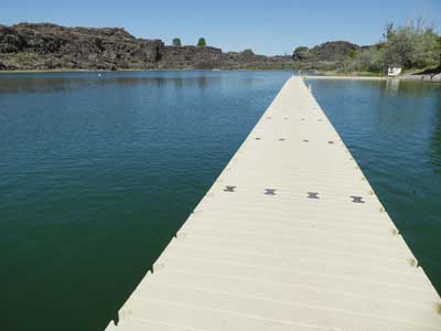
A Dierkes Lake, we strolled along the long, floating walkway.
return • continue

