OWYHEE DAM (Day 3 - part 3)
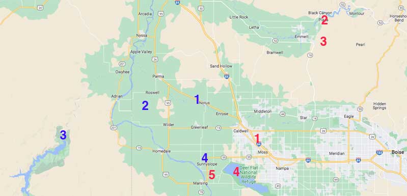
Our morning's flight (red numbers): (1) airport; (2) Black Canyon Dam; (3) cycle park; (4) Lake Lowell; (5) Lizard Butte
Our current drive (blue): (1) Garage Cafe; (2) hop fields; (3) Owyee Dam; (4) wineries
Eventually we left the hop fields and other crops appeared.

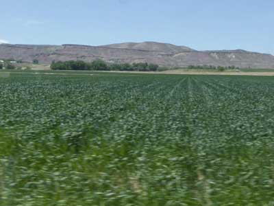
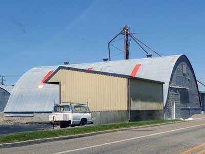
Potatoes, perhaps?
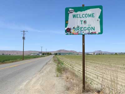
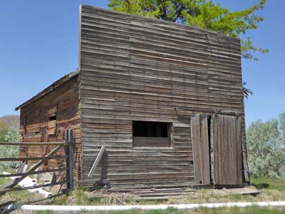
Crossing into Oregon

The Snake River
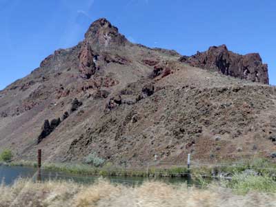
The Owyhee River Canyonlands was also a volcanic creation.
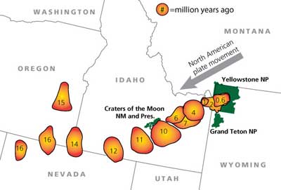
The Yellowstone hotspot (the same one that created Craters of the Moon) was also here, around 15 million years ago. Remember, it wasn't the hot spot that moved, but rather the land itself moved over it.
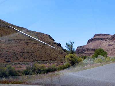
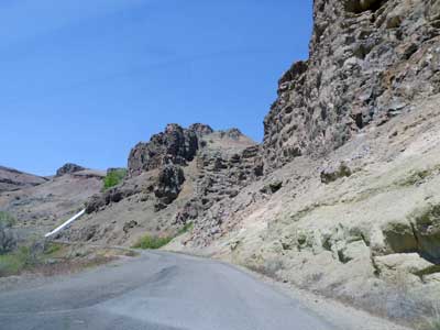
On each side of the river was a long, large white pipe. Known as the Owyhee siphon, they are part of a large irrigation project that distributes water from the reservoir to the surrounding farmlands. The Owyhee Project includes the Owyhee Dam (which we were on our way to see), canals, pipelines, tunnels and pumping plants.
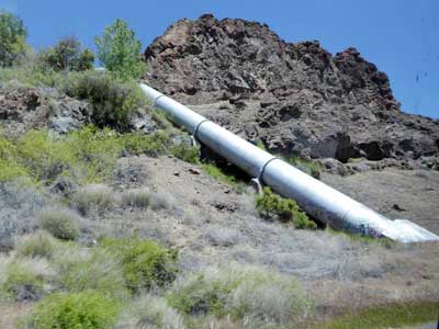
The pipe disappeared into the ground, under the road.
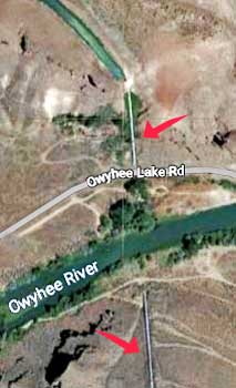
Connecting with the top of each pipe was a canal (which we couldn't see from the road but is visible from this aerial map).
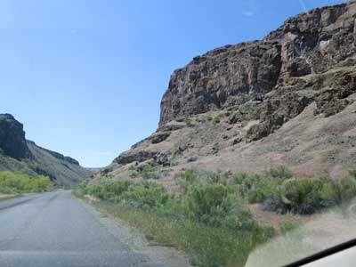
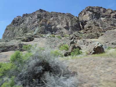

Rugged, volcanic rock
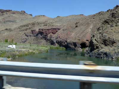
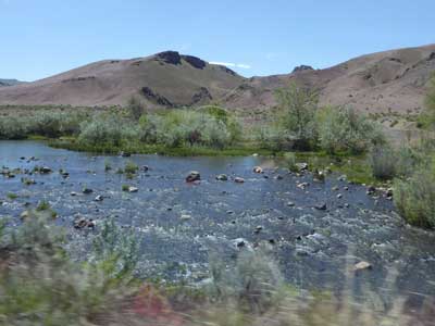
The Owyhee River flows through this wilderness for 120 miles.
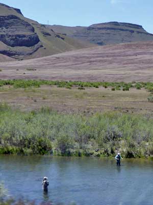
Fishermen
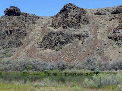
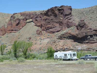

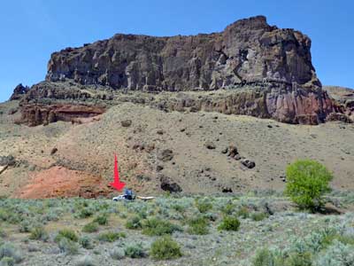
(left) A large camper gives some sense of scale.
Eventually we arrived at the dam.
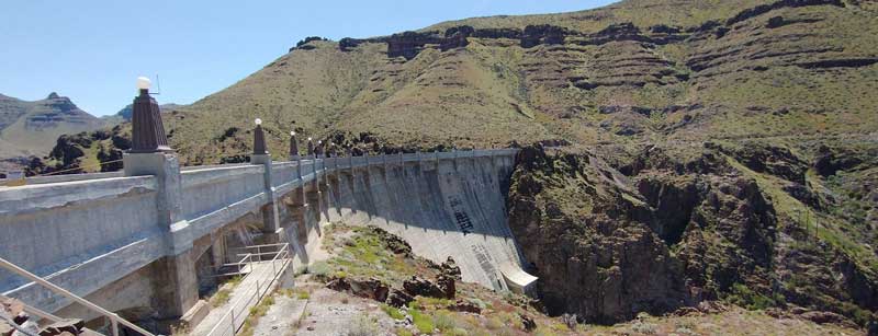
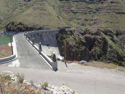
The Owyhee Dam is a concrete arch-gravity dam on the Owyhee River. It was completed in 1932 during the Great Depression. The dam generates electricity and provides irrigation water for both Oregon and Idaho. At over 417 feet tall, it was world's highest dam upon completion (but was surpassed in 1934 by a dam in France which was 448 feet tall). It is 833 feet long along the crest (265 feet wide at the base).
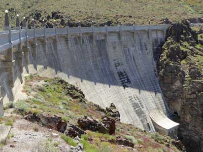
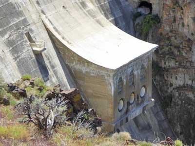
Front (river) side of the dam
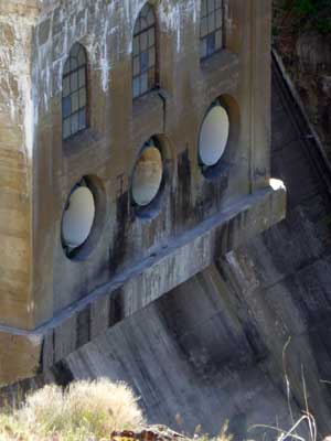
Water can be released from the dam via these outlet pipes.
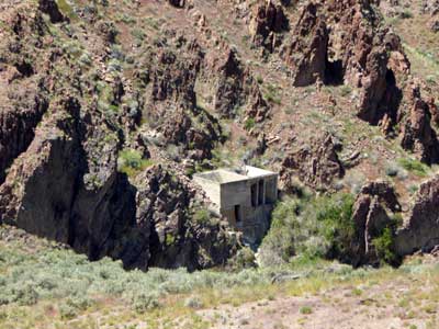
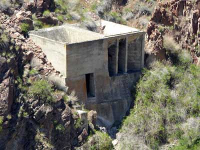
Possibly an old pumping station, or some other once-helpful building
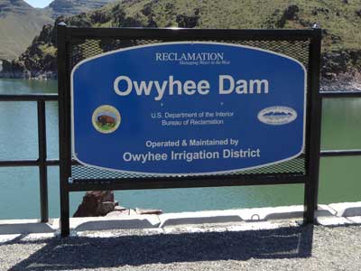
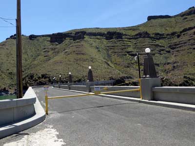
Top of the dam
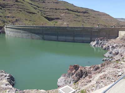
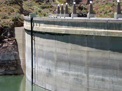
Back (reservoir) side of the dam
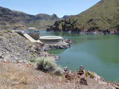
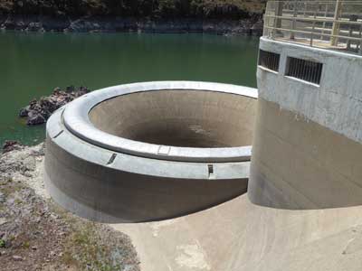
This spillway is in the form of a 60-foot-diameter tunnel. It's mostly needed during the spring run-off.
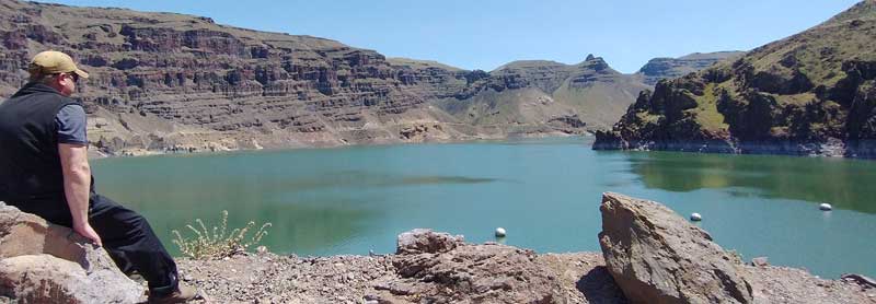
Sean overlooks the Owyhee Reservoir.
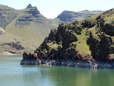
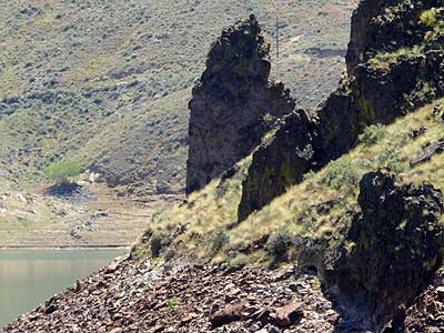
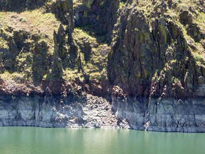
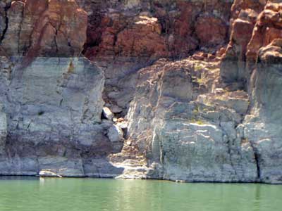
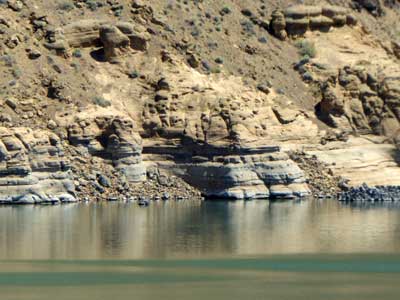
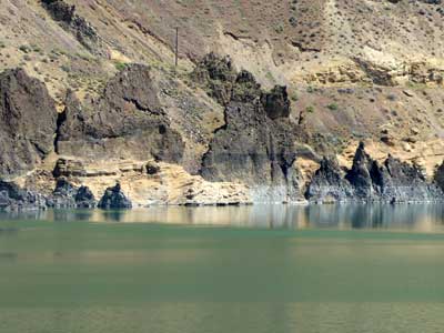
Markings of previous water levels
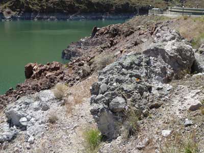
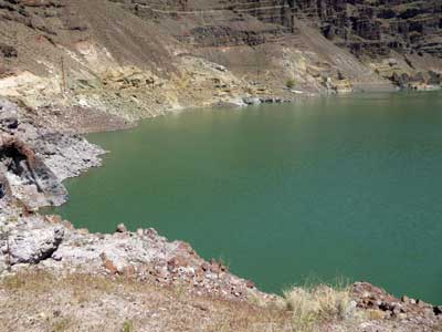
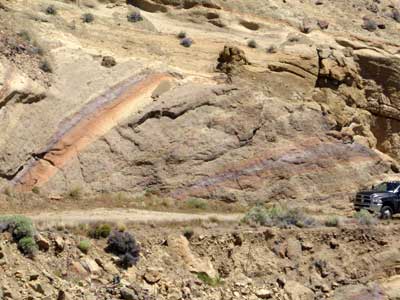
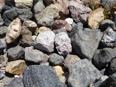
A variety of rock colors

The road continued on but we knew it would quickly get too rough for our vehicle.
We took a short climb up a hill to the power station that overlooked the dam.
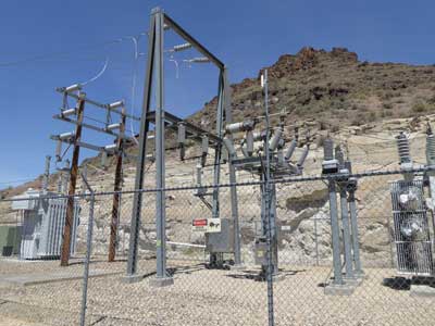
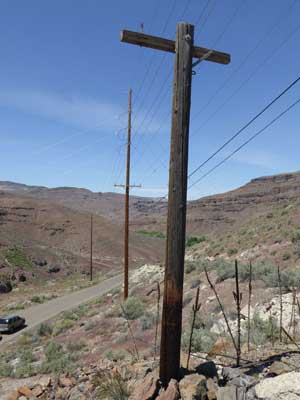
Power is carried away down the valley.
return • continue

