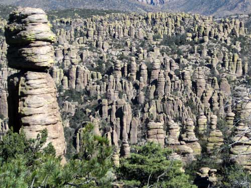
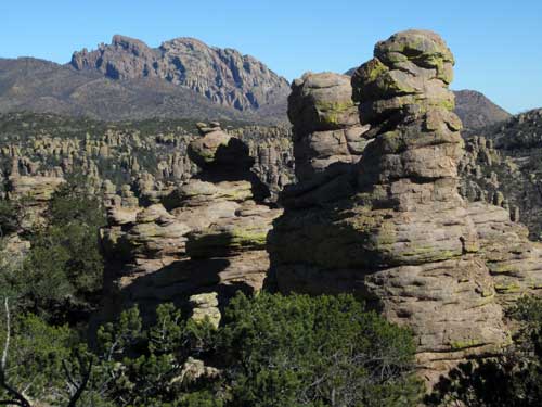
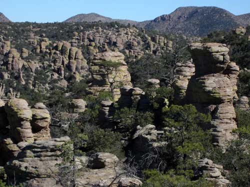
Chiricahua (pronounced Cheer-i-cow-a) is a "sky island"... an isolated mountain range rising above surrounding grasslands. The term was coined by Weldon Fairbanks Heald, (1901 - 1967). Vast valleys of grass or desert act in many ways like a giant sea, isolating the different plants and animals on oceanic islands.
According to writings of a Jesuit by the name of Juan Nentvig in the 1750's, the word Chiricahua is an Opata Indian word meaning “wild turkey." The Opata lived in northern Mexico and supposedly found many of these large birds in the mountain range. Most of them, however, had vanished from the region by the mid-1900's.
Interestingly enough, the words we have for native tribes are seldom what they called themselves. For example, the name Apache comes from a Zuni word meaning "our enemies." The Apache, however, call themselves the Ndee, Inday or Dine'é, all which mean "the people." The Opata didn't call themselves Opata. That was a word from the neighboring Pima Indian meaning “enemy." (Interesting theme). And the Pima called themselves the Othama... until the Europeans arrived. The name is believed to have come from the phrase "pi 'añi mac" or "pi mac," meaning "I don't know," which was used repeatedly in their initial meetings with the white foreigners.
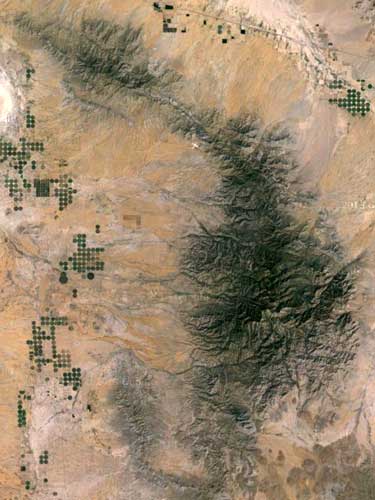
The Chiricahua Mountain Range is an isolated, inactive volcanic range, 20 miles wide and 40 miles long.
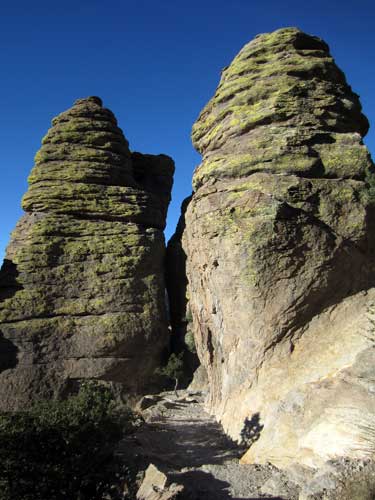
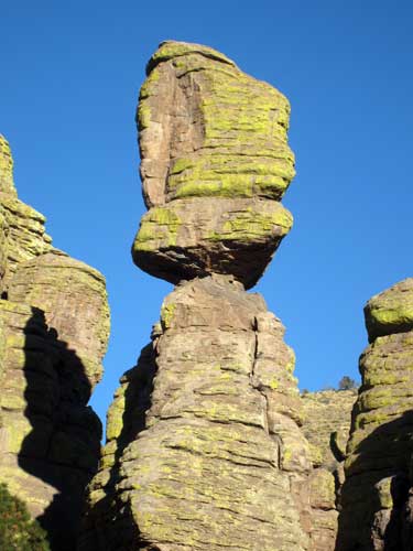
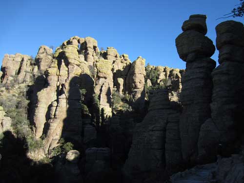
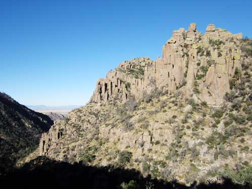
27 million years ago, an immense eruption by the Turkey Creek Volcano laid down 2,000 feet of thick white-hot ash, covering 1,200 square miles. These super-heated ash particles fused together as they cooled, forming layers of dark grey rock called rhyolite. Subsequent uplifting created joints and cracks. Eons of weathering by ice and water slowly enlarged the cracks. Weaker material was washed away leaving behind an endless variety of spires, balanced rocks and stone columns called hoodoos.
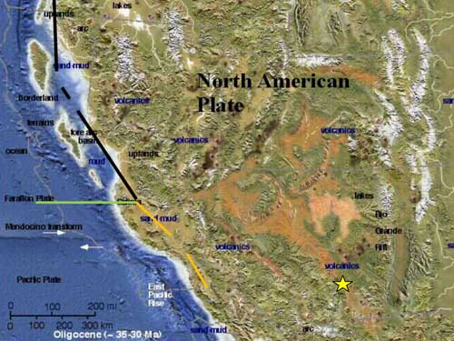
About 30-35 million years ago, volcanism was widespread. (we are at the yellow star)
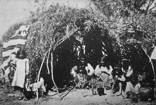
Chiricahua Apache
The Chiricahua Apache called this area The Land of Standing-Up Rocks; pioneers in the late 1800's named it the Wonderland of Rocks.
The monument was created in 1924 which protected about 12,000 acres of wild, rugged terrain, including the various interesting rock formations. In 1976, 87% of the monument was declared as wilderness, which prevents any development and human intervention. The monument is also the crossroads of four different ecological regions: the Chiricahua Mountains, the Sonoran and Chihuahuan deserts, the Rocky Mountains and the Sierra Madre Mountains. This convergence makes this area unusually rich in both plant and animal biodiversity.
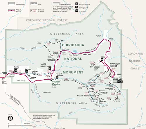
Click for a larger image
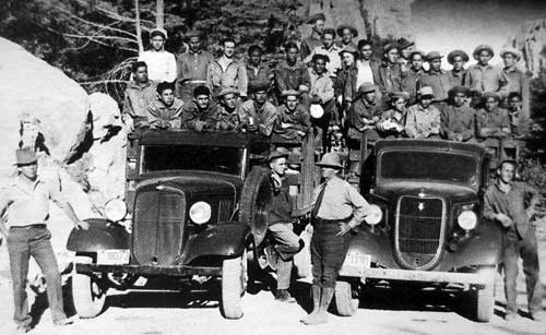
Company 828 of the CCC (Civilian Conservation Corp) helped build the monument in the 1930's. Monthly pay was $30.
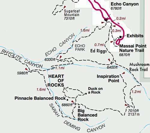
We opted for the 9.5-mile Big Loop, which basically took us through most of the highlights. We went down Echo Canyon, turned onto the Sarah Deming Trail, made a loop through the Heart of Rocks, continued along Balanced Rock trail, which turned into Mushroom Rock trail, and exited along the Ed Riggs trail back to the car.
The trail was built by the Civilian Conservation Corp in 1936-7. It was engineered by Ed Riggs, the trail foreman. Despite clams by other engineers about it being impossible to build a trail in such a narrow and treacherous canyon, Ed believed it could be done... and even worked under the threat that if he failed, he would be fired (a real concern during the Great Depression). It turned out to be his greatest accomplishment.
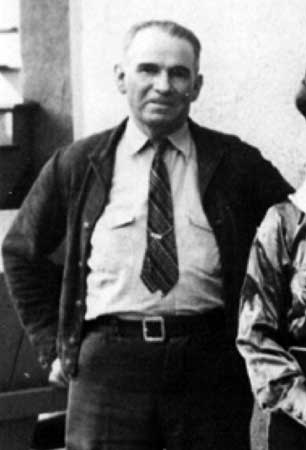
Edward M. Riggs (1885 - 1950) owned the nearby Faraway Ranch and constructed numerous trails during the park's early years.
We set out under a warm sun and a cool breeze.
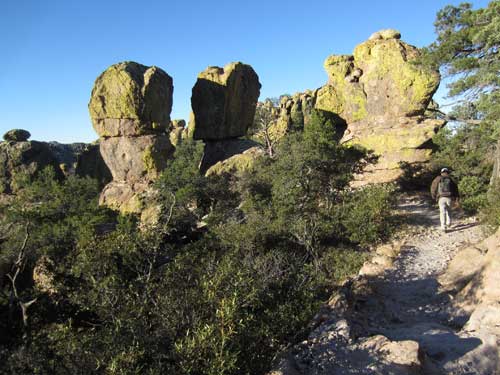
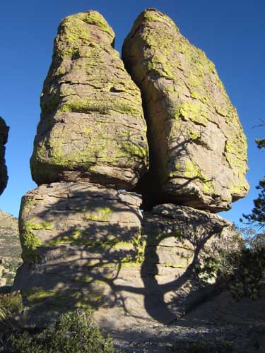
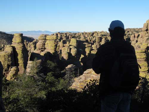
Overlooking a sea of hoodoos
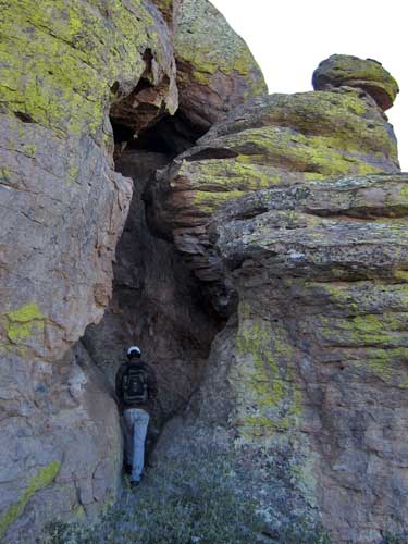
There were many side crevices to explore.
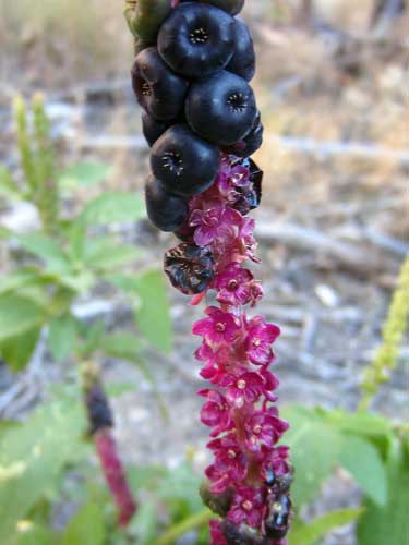
American Pokeweed or Pokeberry is native to the eastern US. The word “poke” comes from the Algonquian word “pakon,” which refers to a plant used for dye or staining. Native Americans used the juice to color feathers, arrow shafts, garments and even their horses. All parts (especially the roots and seeds on mature plants) can be highly toxic, even fatal, if eaten.
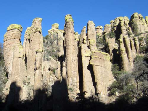
Echo Canyon (right) meets Rhyolite Canyon (left).
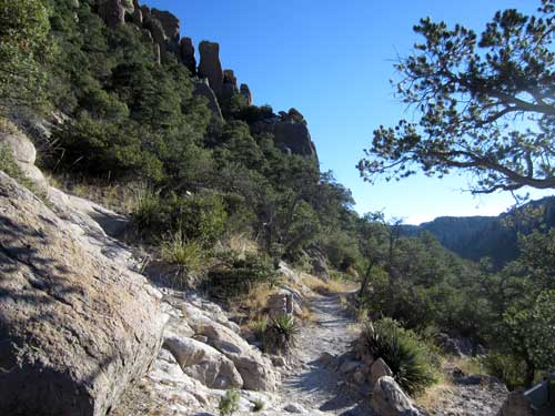
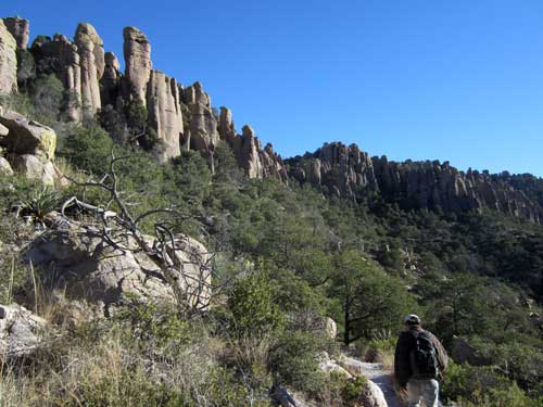
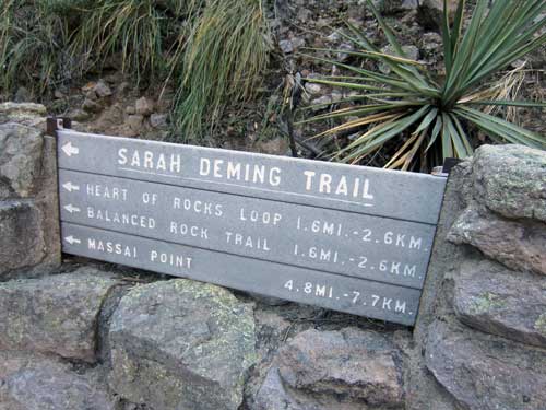
Sarah Deming was a visitor at the nearby Faraway Ranch in the 1920's. Ed Riggs was leading guests on horseback through the narrow canyons when somehow she tore her pants... in a most embarrassing fashion apparently. After that, the canyon and trail were forever associated with her name.
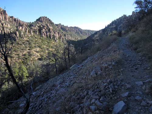
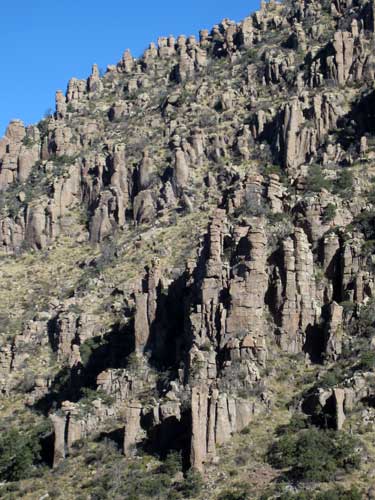
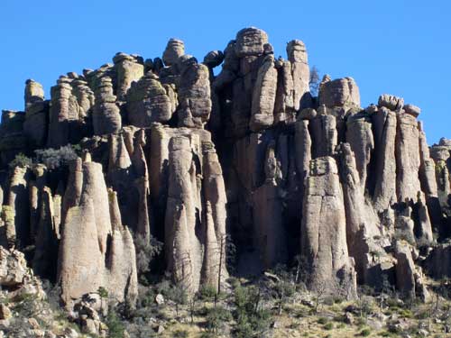
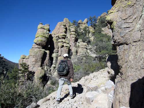
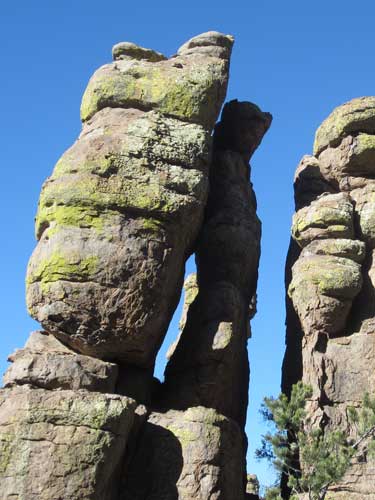
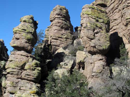
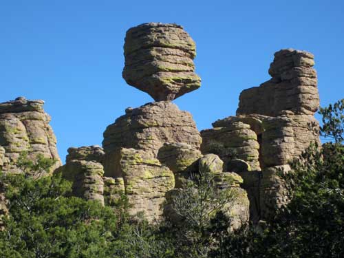
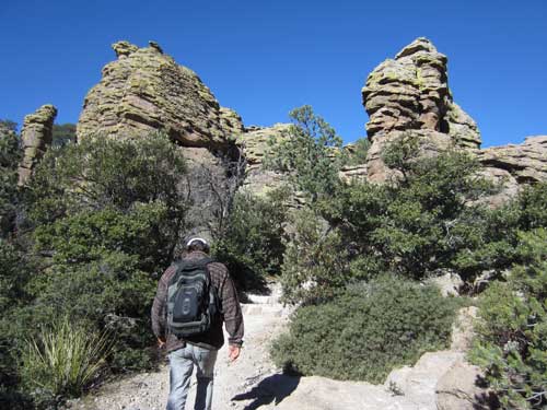
Entering the Heart of Rocks
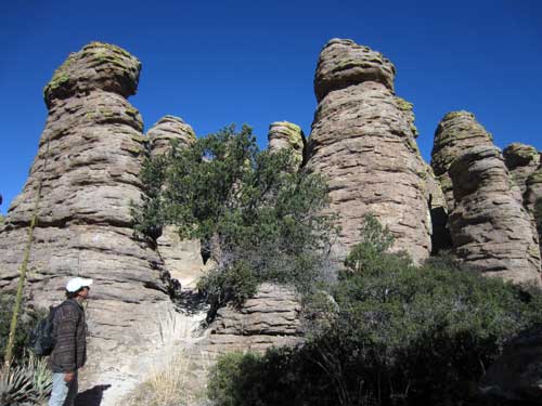
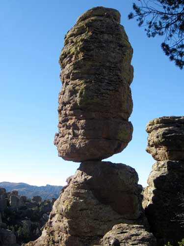
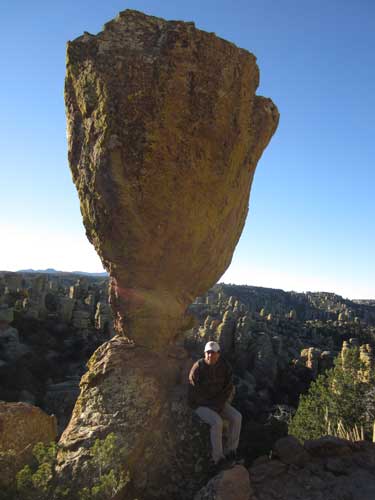
Many of the features were given names, such as Pinnacle Balanced Rock.
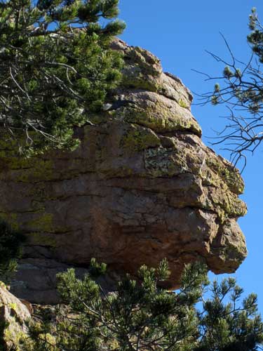
Old Maid
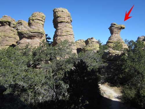
Camel's Head
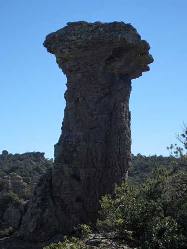
Thor's Hammer
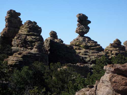
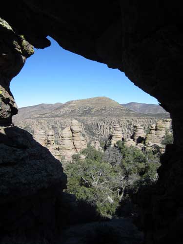
We stopped for some lunch overlooking one of the many spire-filled valleys.
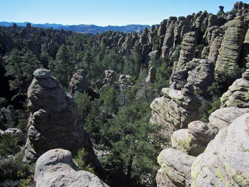
Our amazing lunch view
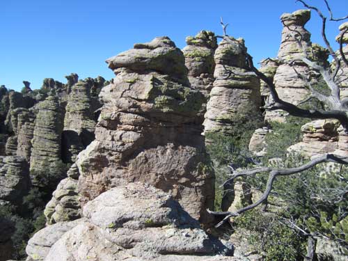
Continuing on...
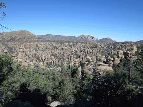
Another valley absolutely packed full of rock columns and formations!
