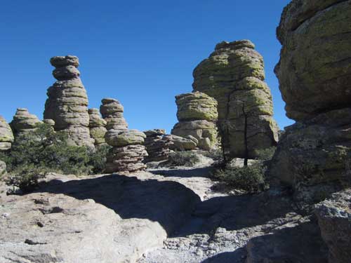
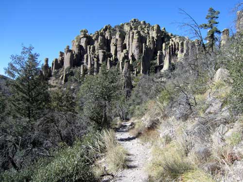
We continued along the Heart of Rocks Loop trail.
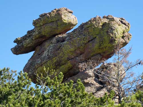
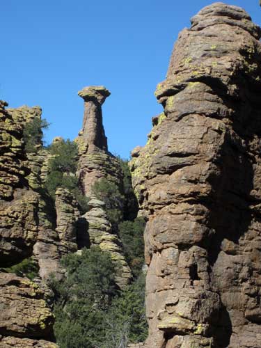
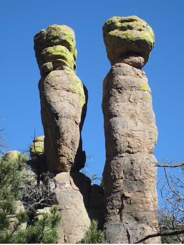
Duck on a Rock
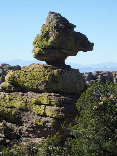
Although I think this one looks quite ducky as well!
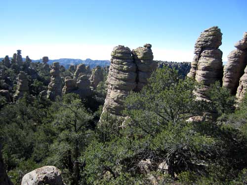
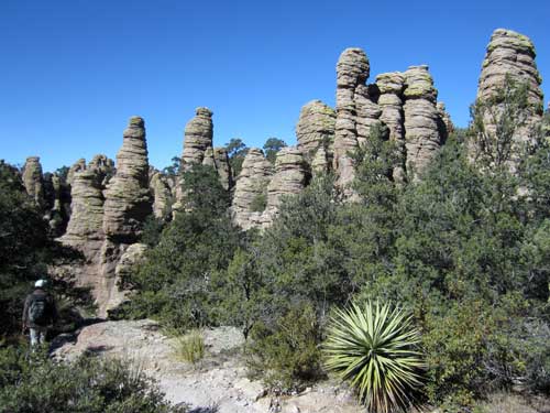
We left the loop and continued on Balanced Rock Trail... which turned into Mushroom Rock Trail... which ended in the Ed Riggs Trail back to the Echo Canyon parking lot.
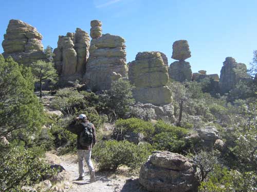
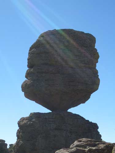
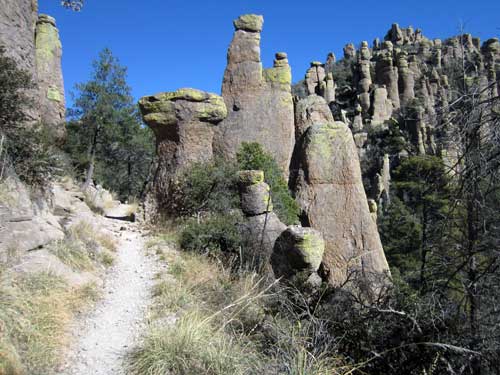
Big Balanced Rock: 22 feet in diameter; weight of 1,000 tons, 25 feet tall
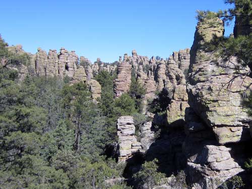
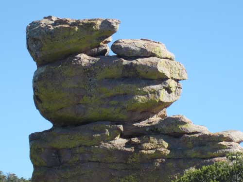
There was no sign for this, but it definitely looks like something cute rolled up on its back!
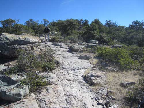
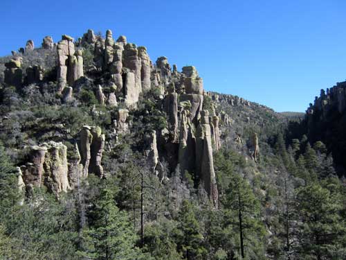
The trail headed upward, giving us amazing views of the surrounding area...
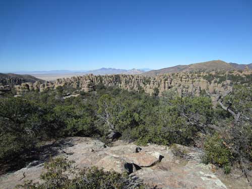
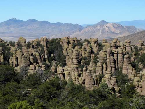
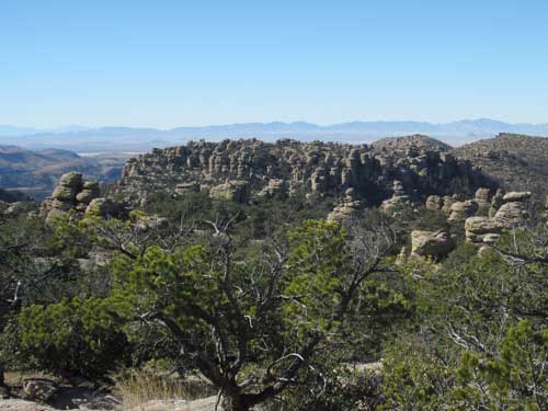
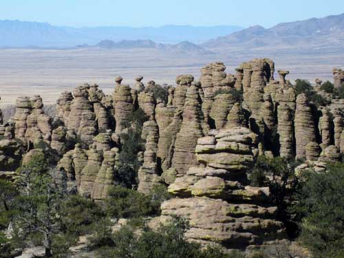
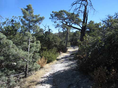
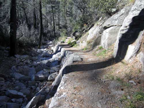
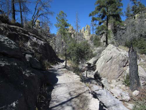
Continuing through the woods
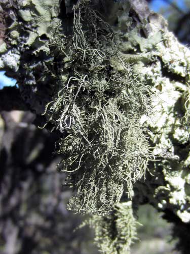
Spanish Moss (or Beard Lichen) is actually neither a moss nor a lichen. Instead, it is a flowering plant in the Bromeliad family. It's also an epiphyte, meaning it absorbs nutrients and water from the air and rainfall. In essence, it's an 'air plant.'
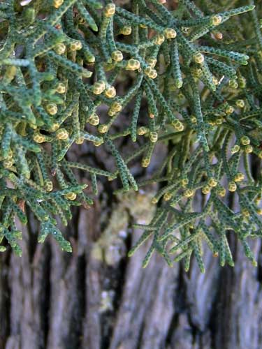
The Arizona Cypress is the only cypress native to the southwest.
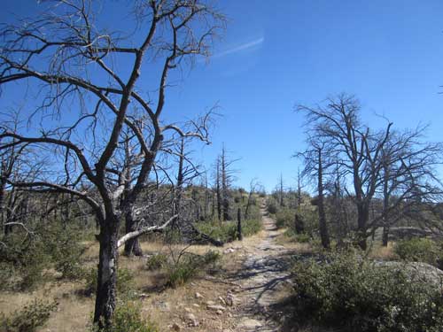
Passing through a burn area
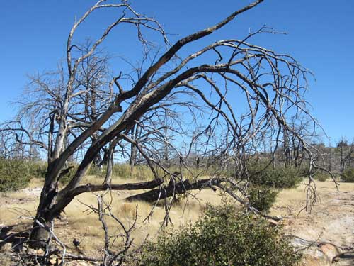
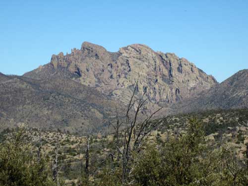
Off in the distance was a mountain named Cochise Head (named after the Apache chief who lived in this area). From this angle, it looks like the face. Cochise's name was derived from the Apache word Cheis, meaning "having the quality of oak."
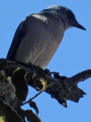
The Mexican Jay was formerly known as the Gray-breasted Jay. The sexes look alike; only the juveniles differ in having less blue coloration. They will eat basically everything... acorns, pine nuts, insects, small amphibians and reptiles, and even birds' eggs and nestlings.
We then popped over to Massai Point with its exhibit building. The Chiricahua Apache called this spot Yahdeshut (Point of Rocks). It has been renamed after one of the last warriors of the area, Big Foot Massai.
Massai was a Chiricahua Apache. He was a master of elusiveness. No one can tell what his face looked like, but hundreds knew the shape of his footprint. He was part of the group that was exiled from Arizona in 1886 and sent east by train. But he escaped along the way and eventually made his way back west. The journey took him over a year. His continued attacks were brutal. He was sought for years but never re-captured. In 1890, he stole a horse from the Stafford homestead (near the present day visitor center) and was chased to this point... but then simply vanished. He was never seen or heard from again.
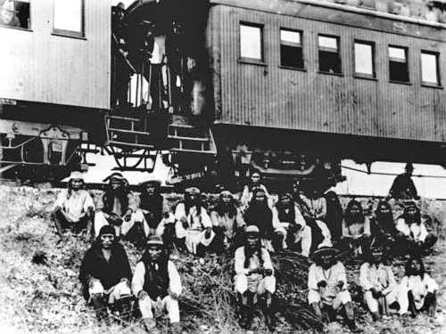
The Apaches about to board the train which would remove them from Arizona. Geronimo is in the first row, third from the right. His son is sitting next to him.
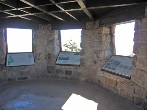
There were informative signs both inside and outside.
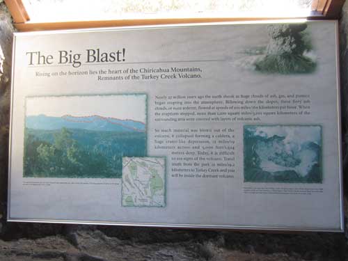
The eruption of the Turkey Creek Volcano 27 million years ago
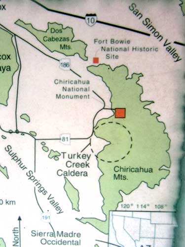
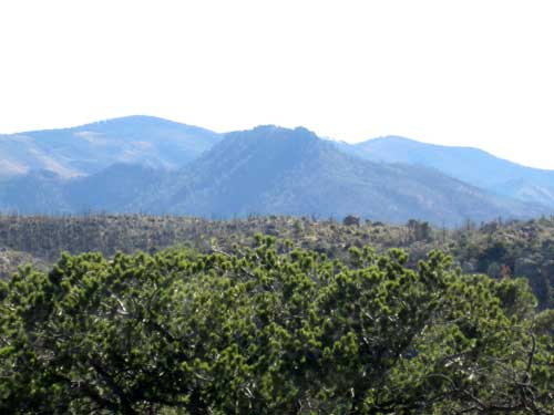
The tallest ridge furthest away is the rim of the Turkey Creek caldera.
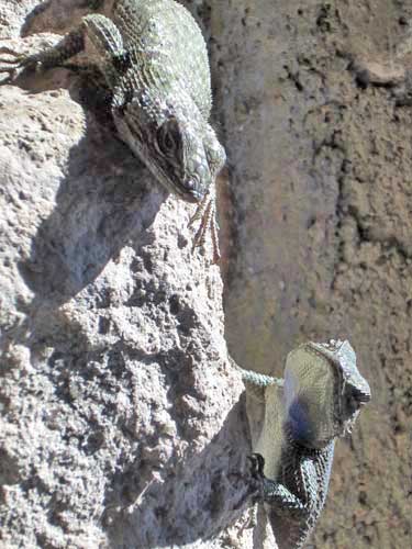
Possibly a pair of Clark’s Spiny Lizards. There are several different species of these stocky, spiny lizards in the area.
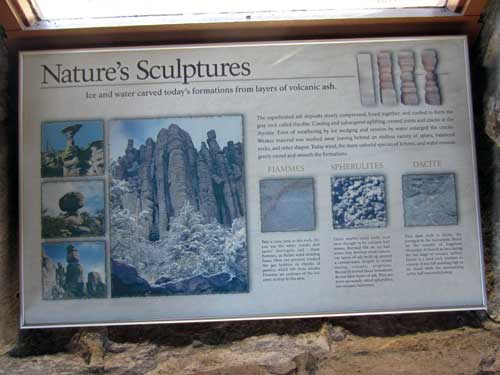
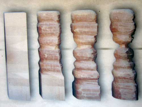
How these amazing sculptures are formed by erosion
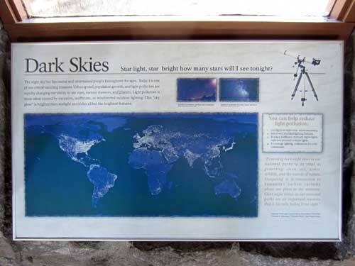
Light pollution prevents us from seeing the heavens as the Apaches who once lived here did.

A clear image of how Sky Islands work (left is east, right is west)
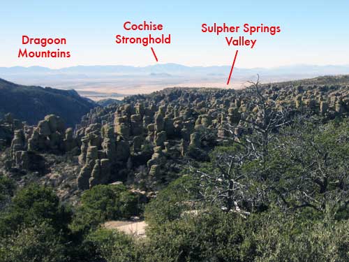
Looking west at the Dragoon Mountains (40 miles away). The name comes from the US Dragoons, soldiers of the 3rd US Calvary who were able to fight both on foot and on horseback. They patrolled this area in the 1850's. Before Cochise surrendered in 1872, he would lead regular raids, retiring back to a remote hiding place known as Cochise Stronghold in these mountains. He is buried somewhere there in a hidden grave.
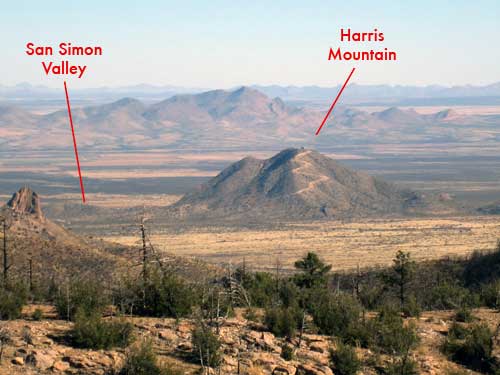
Looking east toward New Mexico. The Harris family was part of a westward-bound wagon train in 1873. They attempted to take a short cut through the Chiricahua Mountains and disappeared. Several years later, a soldier from nearby Fort Bowie found one of the girls in an Apache camp in Mexico. She told him what happened and led him to the spot at Harris Mountain where the Indians had killed her family. There they found and buried the remaining bones.

