After a short rest, we continued on.
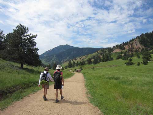
Heading down the Sanitas Valley Trail
In 1893, John Harvey Kellogg came to Boulder to start a sanatorium. This was a place where people would come to get well through exercise, clean air and a vegetarian diet (yes, this is the same family who gave us Kellogg's Corn Flakes cereal). By the 1930's, it had even become a vacation destination with hiking, swimming and burro rides... plus they had built a fabulous trail (completed around 1902) to the top of Mt. Sanitas, derived from the word... sanitarium.
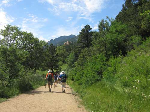
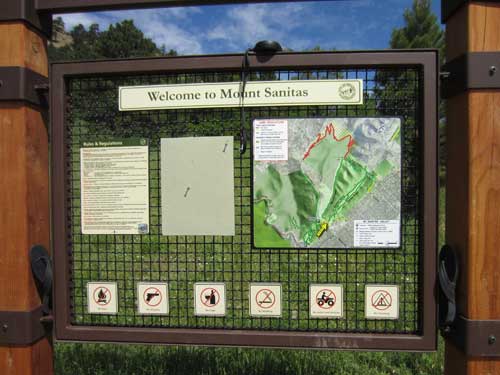
Arriving at the trailhead on the other side
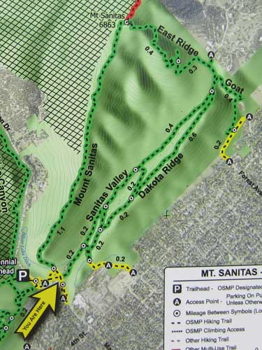
Yay! We crossed Dakota Ridge!
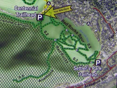
We crossed Sunshine Canyon Drive and arrived at Centennial Trailhead, which would lead us over the Red Rocks Spur Trail to Settler's Park Trailhead.
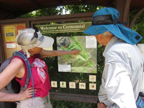
Charting our course
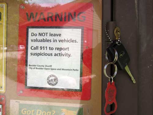
And don't lose your car keys either!
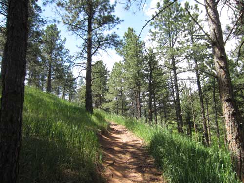
Heading up the Red Rocks Spur Trail
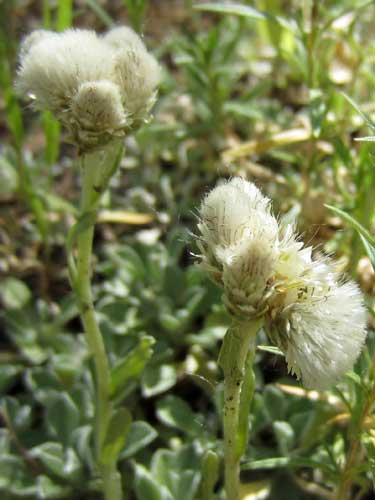
These tiny flowers are called Pussytoes because they resemble a cat’s paw. The different species are often difficult to identify because the plants are dioecious, meaning some plants are only male and some only female... and in the case of pussytoes, some plants even have both.
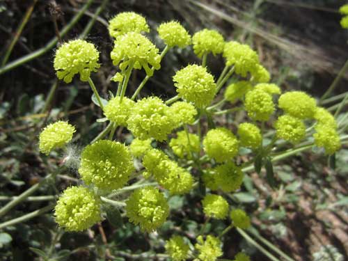
Sulphur-flower Buckwheat (or simply Sulphur Flower) is widespread, can be found in many habitats and is exceedingly variable. It can range from a perennial herb just a few inches tall to a sprawling shrub over 6 feet high and wide. The flowers come in many colors from white to bright yellow to purple.
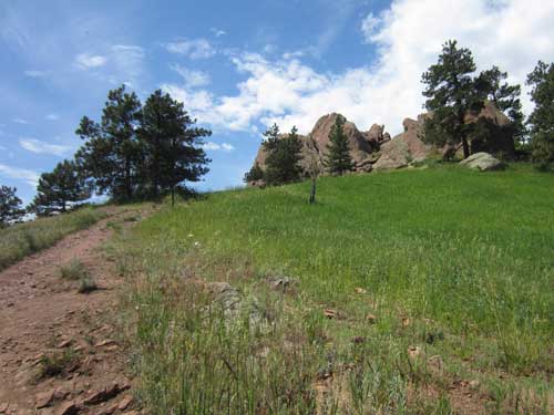
Nearing the top of the hill
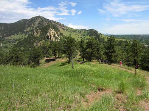
The view behind us

These red sandstone chunks belong to the Fountain Formation, which runs from Ft. Collins all the way down through the Garden of the Gods in Colorado Springs. Several places along the way (such as here, Sanitas Ridge and the Flatirons), the rock juts out of the ground. The rocks were formed about 290 million years ago when the Ancestral Rocky Mountains were eroded away. The formation was originally laid down flat but was steeply tilted during the last mountain forming. The deep red color is caused by oxidation of iron in the rock.
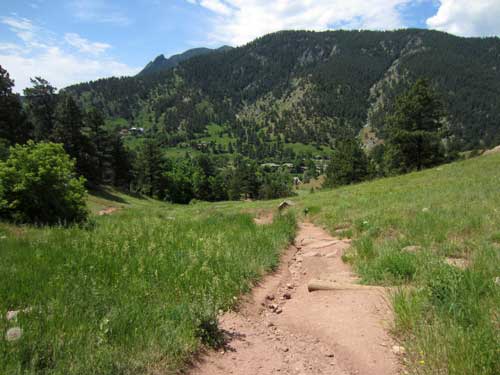
Heading back downhill
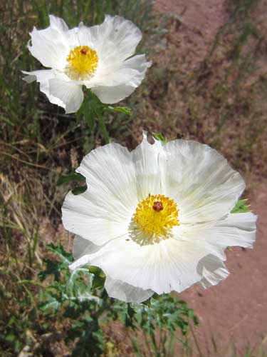
Prickly Poppy is a hardy native plant. Because of its prickly defenses and unpleasant taste from its poisons, grazing animals tend to avoid it.
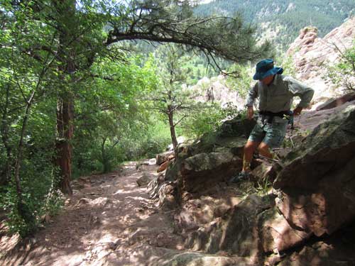
The steep descent of the trail
We arrived at Settlers' Park (although no map or sign can seem to agree on its spelling... Settlers Park, Settler's Park, Setters' Park).
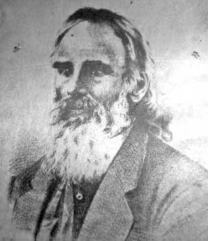
Thomas A. Aikins
In 1858, gold was discovered near Denver. Thousands of prospectors immediately set out to claim their fortune. Thomas Aikins was a Missouri farmer who formed one such party. Upon arriving in Fort St. Vrain (about 40 miles to the east), he scanned the foothills of the Boulder Valley and thought "the mountains looked right for gold." And so he and 24 of his men changed their course and arrived here in Settlers' Park, setting up their tents on October 17, 1858. Their hard efforts were rewarded when they discovered gold 12 miles to the west in mid-January. $100,000 worth was taken out that first season and even larger deposits were discovered later. More settlers followed; cabins were built; sawmills were erected; and Boulder became established as a mining supply town.
Before 1858, the Boulder Valley was known only to the Native Americans who roamed the area and a few early American fur traders and explorers. The Arapaho, Cheyenne, Comanche and Kiowa were nomadic tribes seeking the abundant bison, elk and antelope. The mountain-dwelling Ute came down to hunt as well. News of Aikins camp spread quickly. Chief Niwot (meaning Left Hand) of the Southern Arapaho rode out to speak with them. He spoke English from his earlier contacts with white traders. But his request that they leave this land was ignored, and the Arapaho, realizing they were completely outnumbered and out-gunned, watched helplessly as their territory was quickly overrun. Although Niwot worked tirelessly for peace (which he felt was his only option), he was mortally wounded at the Sand Creek Massacre in 1864. While there are no exact statistics exist on the total number of people killed, most historians place the number at around 180... mostly women, children and the elderly.
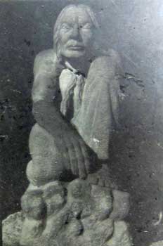
Chief Niwot (c. 1825 - 1864) “People seeing the beauty of this valley will want to stay, and their staying will be the undoing of the beauty.”
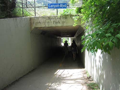
We crossed under Canyon Blvd...
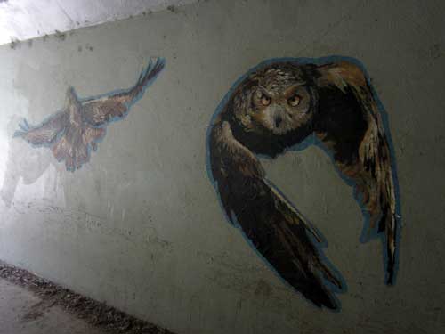
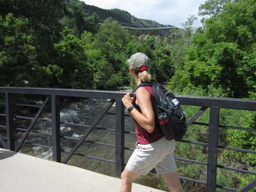
... traversed a bridge over Boulder Creek...
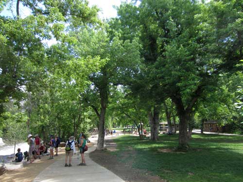
... and arrived at Eben G. Fine Park.
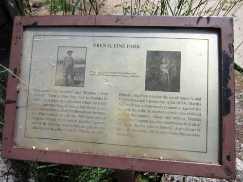
Eben G. Fine (aka "Mr. Boulder") was Boulder's biggest promoter. He first arrived here in 1886. After working as a pharmacist for many years, he began traveling around the country sharing his photos (which he took with his heavy large-format camera with glass plate negatives) of his beloved town and mountains during a time when Boulder residents wanted their city to grow.
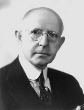
Eben Givens Fine (1865 - 1957)
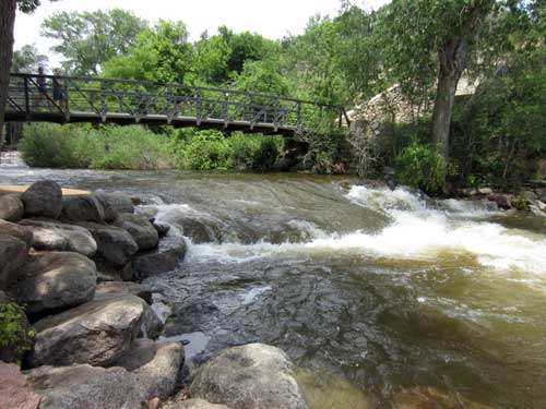
Boulder Creek flows down Boulder Canyon and through downtown Boulder. After leaving the city, it joins St. Vrain Creek and then the Platte River. It ultimately flows into the Mississippi River and the Gulf of Mexico.
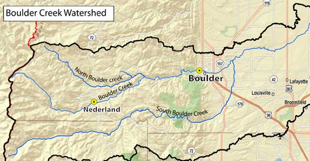
Boulder Creek is a 31.4 mile long river originating at the Continental Divide. It is comprised of North Boulder Creek and Middle Boulder Creek, and later joined by South Boulder Creek.
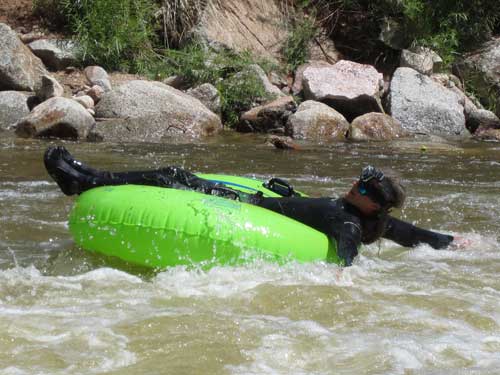
Tubing is quite popular (yet sometimes dangerous) from April through August. Even in June, the water (which is mostly snow melt) is quite cold... hence his wetsuit! Under normal conditions, Boulder Creek flows at a rate between 100 to 300 cubic feet per second (cfs). In the late spring, however, flows can exceed 800 cfs. The creek is closed to tubing typically around 700 cfs.
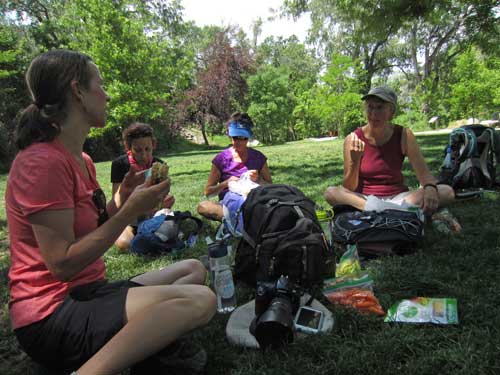
A short lunch break. Food always tastes so much better when you've earned it!
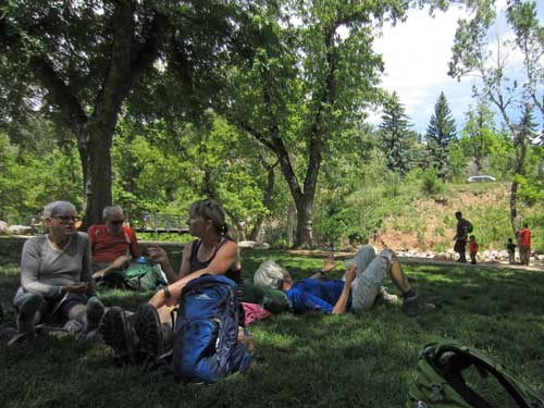
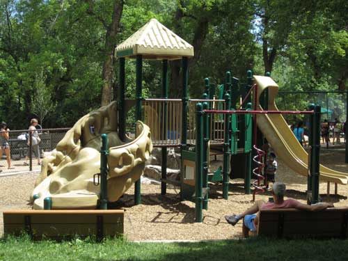
A typical Boulder playground... complete with some kind of rock climbing structure!
Three of our group ended the hike here. We said goodbye, refilled our water bottles and set out again. We were a bit shy of the halfway point.
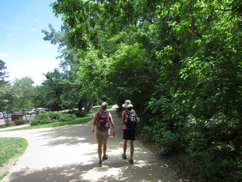
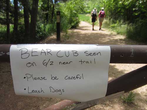
This is what happens when we continue to encroach on animal habitat. Unfortunately it is always the animal that pays the price...
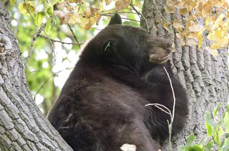
This is a photo of bear No. 317 before she was shot and killed in the fall of last year. For the 150-pound, 10 year-old Black Bear, this was her second strike of entering city limits in search of easy food (trash cans left open, bird feeders, etc) after having been relocated once before. There were reports of her charging and even chasing people. 60,000 activists attempted to prevent lethal action, but rules were rules. Fortunately her two 10-month-old cubs could at least be relocated to the Wyoming border.
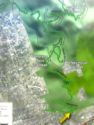
We headed out of the city and up into the hills again, taking the Viewpoint Trail to the Panorama Point Trailhead. From there, the Panorama Trail and then the Flagstaff Trail would take us over to Chautauqua.
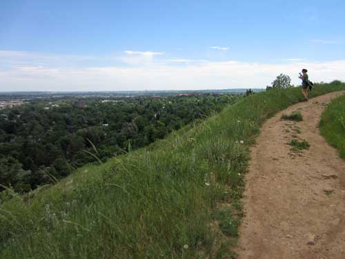
There were indeed lovely views!
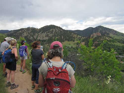
Looking back at the distance we had already covered
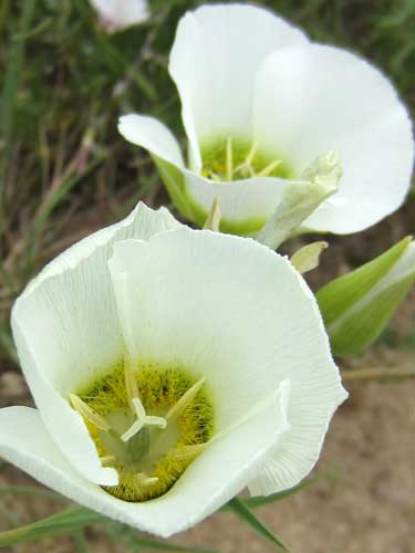
The Sego or Mariposa Lily is the state flower of Utah. Mariposa is Spanish for 'butterfly' and Sego is a Shoshonean word for 'edible bulb'. It was this plant that helped many Mormon pioneer settlers survive.
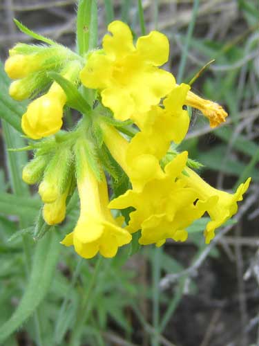
Puccoon is also known as Gromwells or Stoneseeds. Many-flowered Puccoon was named by early American botanists Asa Gray (1810 - 1888) and John Torrey (1796 - 1873).
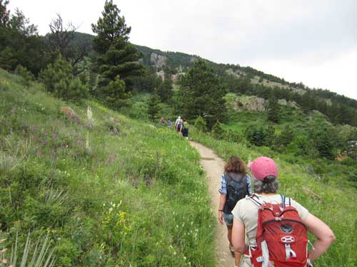
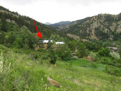
Another blemish in the wilderness. If we can kill the bears for coming into town, should the bears be able to kill people for living here?
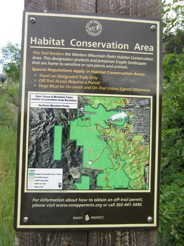
We were crossing through a corner of the Western Mountain Parks HCA (Habitat Conservation Area).
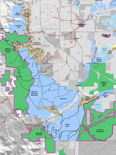
The City of Boulder Open Space and Mountain Parks (OSMP) department designated HCA's as a way to protect areas that provide habitat to some rare plants and animals. (Click for a larger view)
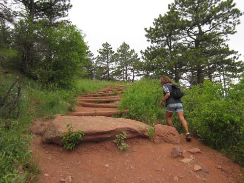
Working hard!
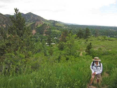
Eventually we made it to Flagstaff's Panorama Point. The clouds briefly thought about raining on us but fortunately changed their minds.
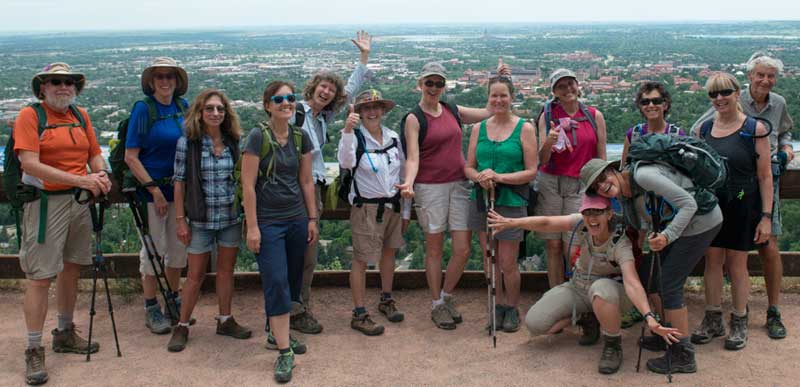
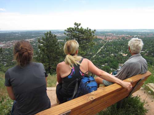
We rested briefly to amazing views of the city below.
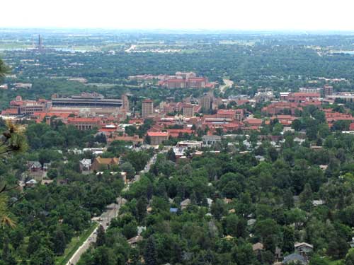
The University of Colorado Boulder (commonly referred to as CU Boulder) was founded five months before Colorado was admitted to the union in 1876.
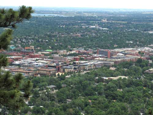
The downtown is centered around the Pearl Street Mall, a four block pedestrian zone. The project was started in 1966 as an attempt to revitalize Boulder's downtown but construction didn't begin until 10 years later.
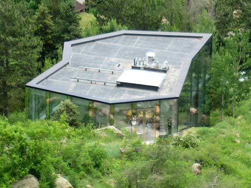
Designed by New York architect Thomas Phifer, the three-level 5,026 square foot Glass House was built in 2008. It sold for $875,000 but goes for $4 million today.
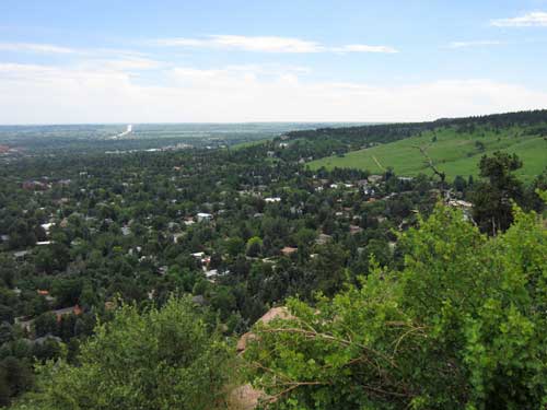
Overlooking Chautauqua... our next destination
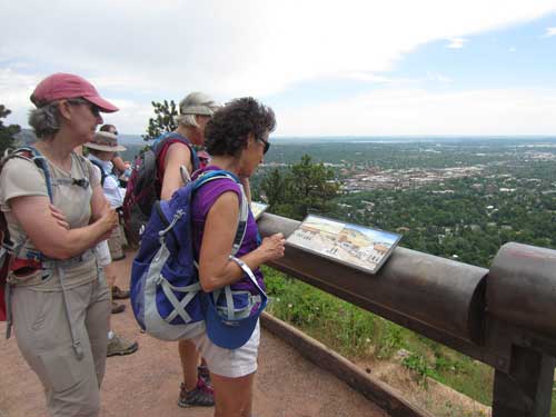
The lookout point had a series of signs depicting the long history of Boulder...

100 million years ago, a shallow sea covered as far as you could see in every direction. Then 65 million years ago, the Rocky Mountains were uplifted and the sea drained away. (click for a larger view)

10,000 years ago was the end of the last Ice Age. Melting mountain glaciers carved out canyons and filled waterways. Columbian mammoths and giant bison were hunted by prehistoric peoples. (click for a larger view)

By the 1800's, the Arapaho (Hinono'eiteen) and the Cheyenne (Tsitsistas) lived in the plains while the Ute lived in the mountains. Chief Niwot led his people here every winter, creating temporary camps as they followed the game. (click for a larger view)
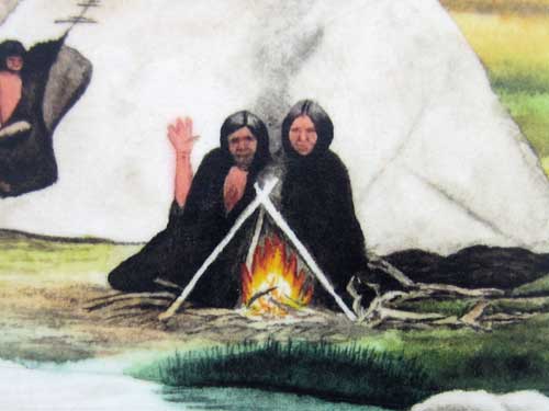
Haha! I like how this person 'sees' us!
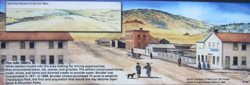
In the 1860's, settlers moved in looking for mining opportunities. They built homes, roads and farms and diverted creeks. Boulder was incorporated in 1871. (click for a larger view)

The Boulder of today... (click for a larger view)
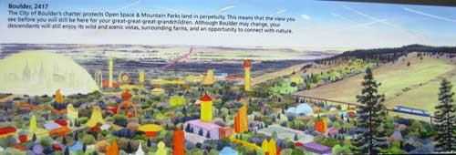
... and the future in 2417. All the buildings get really funky colored and tall. And what's with the giant dome? Do we truly become the 'Boulder Bubble'? (click for a larger view)