No rest for the weary... we continued on.
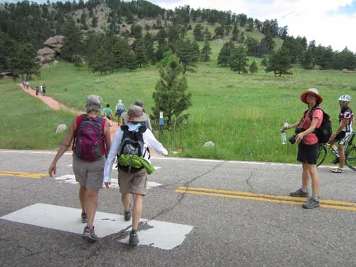
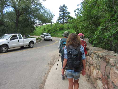
Darcy gets us safely across Flagstaff Road.
Flagstaff Road was initially only 10 feet wide in 1906, with a grade less than 10%, and it cost $2,000 to build. It was quite a scary adventure for horse-drawn carriages and primitive cars. By 1926, it had been lengthened 4 miles and largely improved.
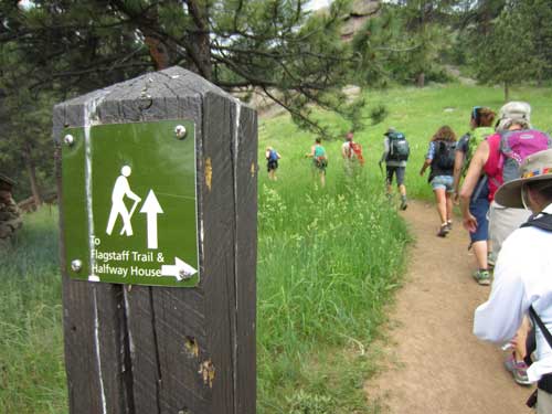
Following the Panorma Trail which linked to the Flagstaff Trail
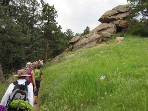
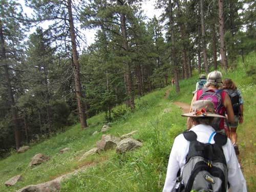
Wow! Look at the angle of this hill!
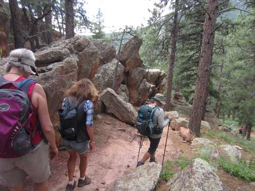
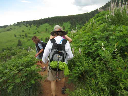
Walking among the tall Lupine with a view of Chautauqua ahead of us
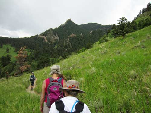
Reaching the end of the Flagstaff Trail
We found ourselves at the junction of Baseline Road, Flagstaff Road and Gregory Canyon Road. Fortunately it was just a few steps to the start of Baseline Trail, which took us alongside the large Chautauqua meadow.
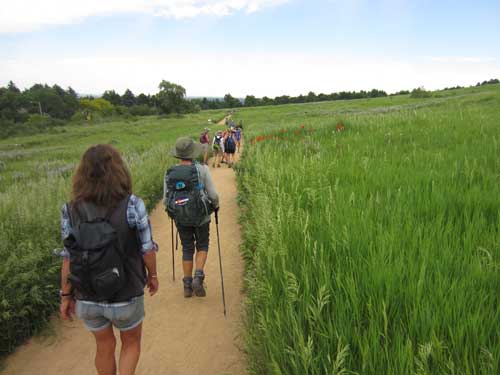
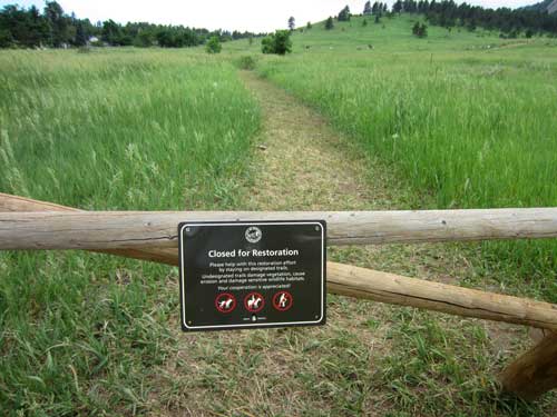
With an annual visitation of 5.3 million people per year to the Boulder open space (and 1.8 million visits to this area), maintenance is a constant job.
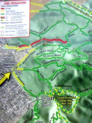
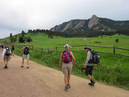
Chautuqua and the Flatirons
This entire area used to be the Batchelder Ranch. In 1898, citizens voted to purchase the 75 acres and it was renamed Texado Park. The city also bought 96 acres on the eastern slope of Flagstaff Mountain (the Russell-Austin tract)... all of which became the chautauqua. More land was purchased soon after to prevent the Flatirons and Red Rocks from being mined by stone quarries.
We took another break at the general store.
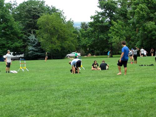
People played games and lounged about the expansive lawns.
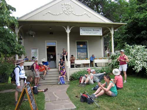
The general store
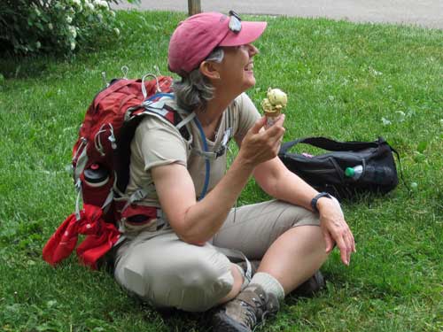
Mint and chocolate chip ice-cream was a popular choice.

The Dining Hall and the general store (although back then it was used as an office) in 1899
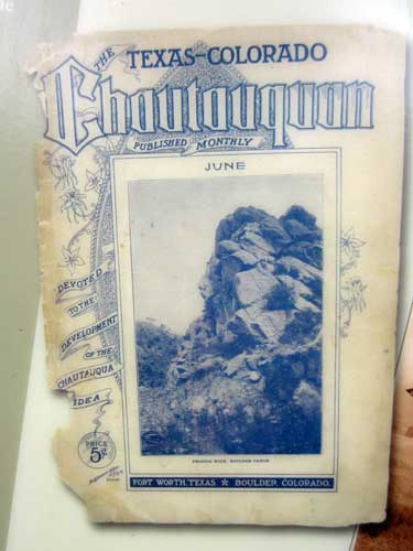
The Chautauqua Movement began in New York and quickly spread. It was the country's first national mass educational and cultural movement for more middle-class citizens. In 1898, a chautauqua was established here in Boulder in connection with the Texas Board of Regents who wanted to establish a summer school for their teachers.
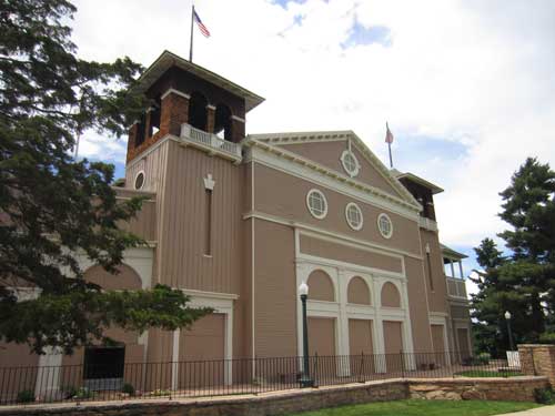
A large auditorium was also built for the opening day in 1898. Construction began on May 12th and was completed by July 4th. The wooden building had dirt floors covered with sawdust and simple pine benches. One can still daylight through the cracks in the wall boards. It got a partial concrete floor in 1918 and was completely renovated in the 1970's.
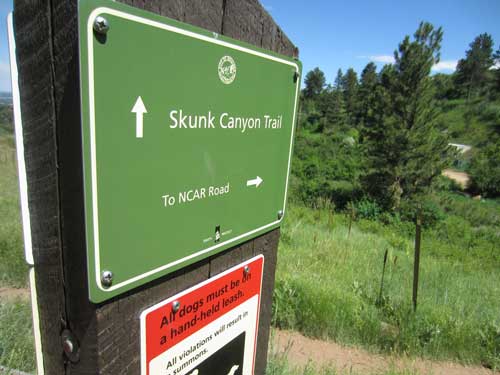
We prepared for our next leg of the trip which would take us briefly along Lower McClintock, around the loop to Enchanted Mesa and eventually down Skunk Canyon to NCAR. The weather continued to be lovely.
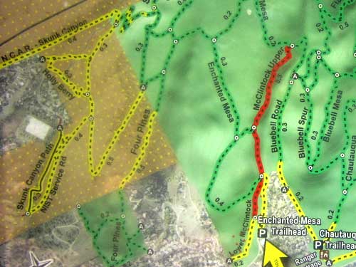
We opted for the longer, easier, lower loop instead of the shorter, very steep section of Upper McClintock trail in order to get to Enchanted Mesa. The McClintock Trails were named after Henry McClintock, a Chautauqua Park board member whose family donated funds for interpretive trail signage.
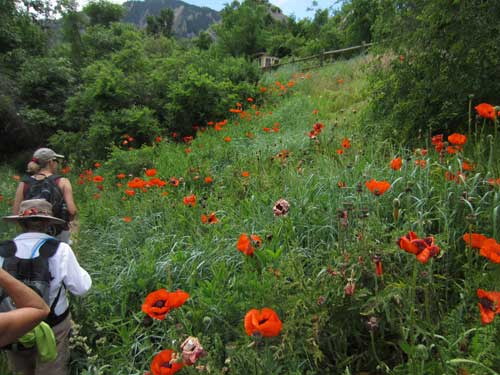
The spectacular Oriental Poppy is (as its name implies) not native to these parts. It very likely escaped from people's gardens.
This area around the chautauqua looked very different in the early 1900's. There were expansive gardens, apple orchards, hundreds and hundreds of newly planted maple trees (for if you remember from the history signs on Flagstaff, most of the area was originally devoid of trees) and even a zoo. In 1903, several deer were fenced into an area near the auditorium. It grew to include four elk, a gray wolf, two pheasants, two gray squirrels, two bears, some guinea pigs and even a few chameleons. When the zoo eventually closed, a bull elk was barbecued for the city picnic.
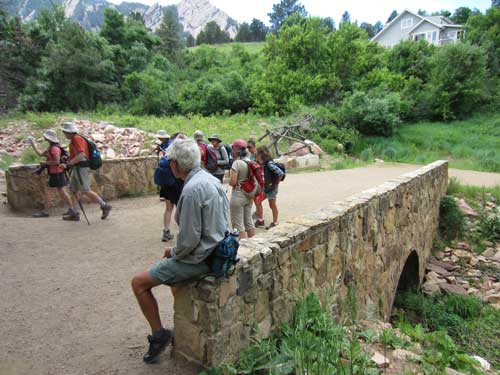
The junction of Upper and Lower McClintock trails was the site of some major damage from the 2013 flood.
The Enchanted Mesa Bridge (or culvert) was probably built by the Civilian Conservation Corps in the 1930's and then strengthened around 1997. Locals now like to call it the ‘hero bridge’ because it prevented a cascade of boulders from continuing down into the neighborhoods and perhaps even into the auditorium. After the flood, it was covered with a foot of mud and debris. It did suffer some damage but overall is still in good condition.
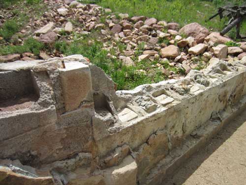

Looking upstream
And so we began our loop to the Enchanted Mesa trail.
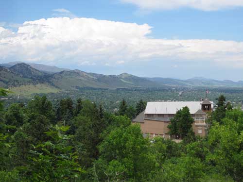
A view south, over the auditorium and out to where we started this adventure
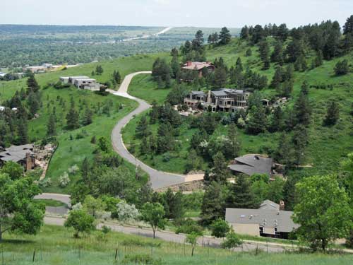
Overlooking the massive houses off of Bellevue Drive as they creep up the hill
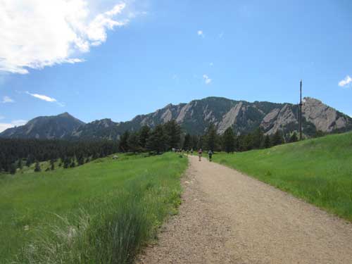
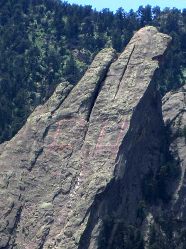
The giant CU letters carved into the third flatiron first appeared in 1947. They are continually being painted over but unfortunately the vandalism doesn't stop.
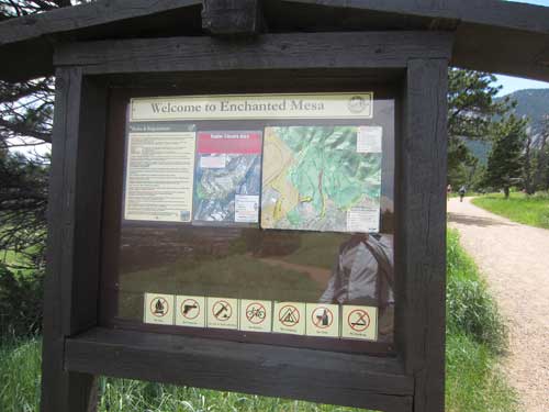
In 1964, a developer who owned Enchanted Mesa (formerly known as Mystic Meadow) planned to build a luxury hotel overlooking the city. There was huge opposition by the community. The city condemmend the property, forcing its sale and ending the development plans. A judge ordered the city to pay $10,000 more for the land than was budgeted, leading to another citizen campaign to raise the extra money from individual donors.

Just in case you were wondering
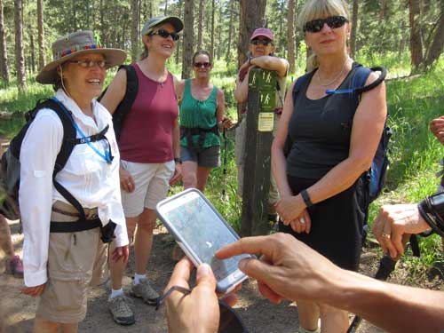
Ummm... we go... THAT way!
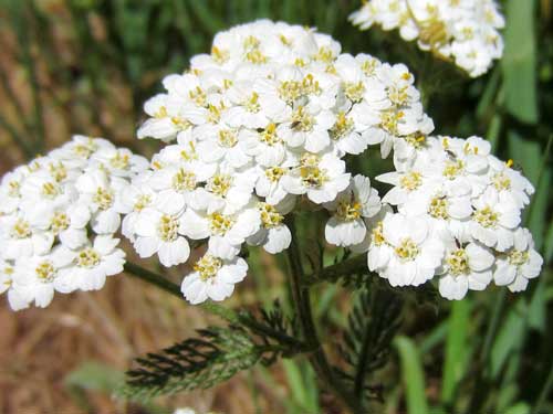
Yarrow is native to temperate regions of the northern hemisphere in Asia, Europe and North America. It is a highly useful plant. It has been used in teas and was very popular as a vegetable in the 1600's. Because it was used to help stop the flow of blood from wounds, it got such nicknames as nosebleed plant, sanguinary, soldier's woundwort and thousand-seal. In the Middle Ages, it was also part of an herbal mixture known as gruit used in the flavoring of beer prior to the use of hops.
In my quest for flower photos, I inadvertently upset a large Bull Snake that was resting in the grass just off the trail. Uncomfortable with my nearness, it slowly slithered away.
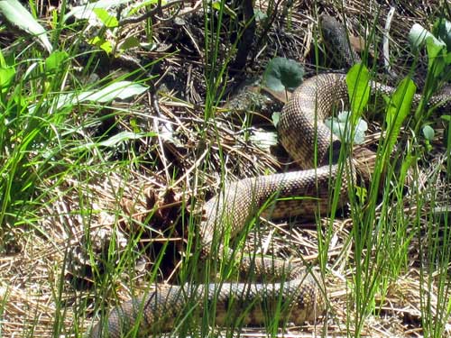
The Bull Snake is considered a subspecies of the gopher snake. In general they range from 4 - 6 feet long, but can reach lengths of up to 8 feet. They are not venomous but rather very powerful constrictors who eat small animals such as mice, voles, ground squirrels, rabbits, birds, frogs lizards and even sometimes rattlesnakes!
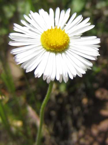
It was once believed that Daisy Fleabane could get rid of fleas.
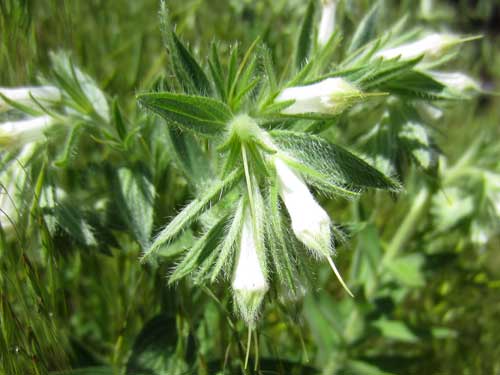
Western Marbleseed (also False Gromwell) gets its name from its small, dark seeds. The coarse hairs discourage grazing animals.
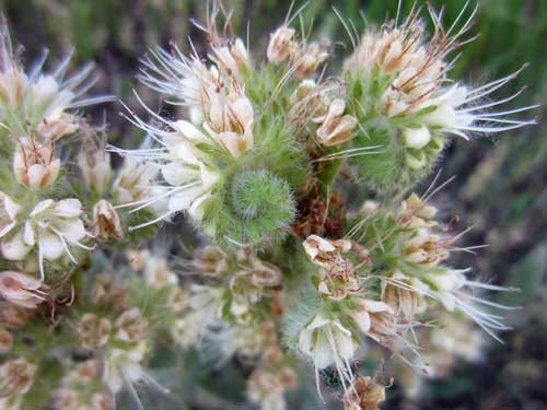
There are about 200 species of Scorpionweed (also called Phacelia and Heliotrope). Contact with the hairs of some species can cause a rash similar to that of poison ivy. The plant gets its name from the curled scorpion-tail-like flower clusters.
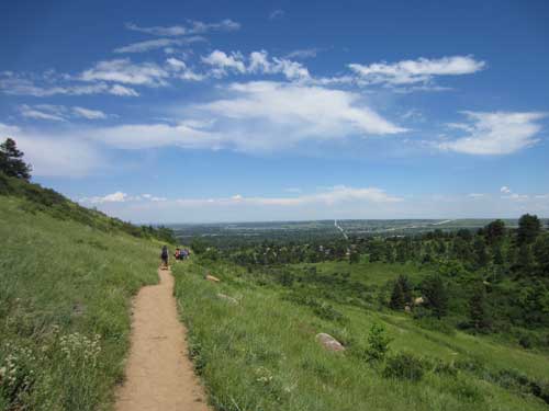
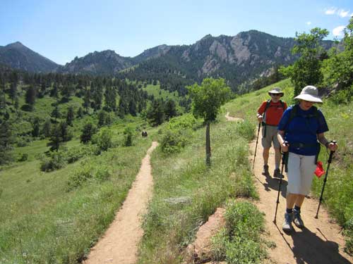
Descending the hill via switchbacks
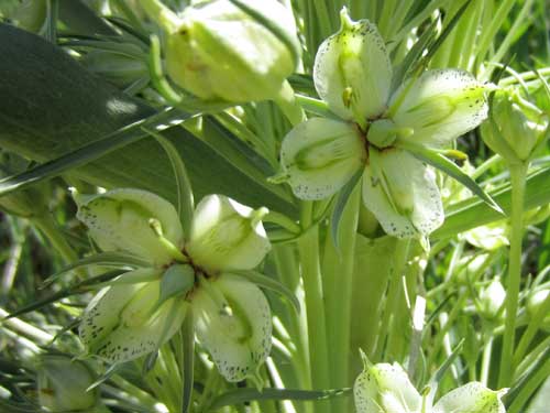
Green Gentian (also Monument Plant, Deer's Ears and Elkweed) is monocarpic. This means that it produces flowers only once in its lifetime of 20 to 80 years and then dies. It can grow up to 6 feet tall and produce about 600 flowers per plant (with about 60 seeds per flower).
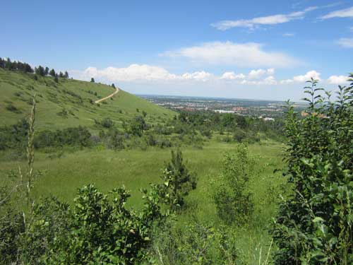
We returned to civilization at Table Mesa Drive just as it starts its climb up to NCAR (National Center for Atmospheric Research). Strategically waiting for us (and other hot, weary hikers and cyclists) were a group of girls running a lemonade stand. There's nothing more refreshing and motivating than an ice-cold, tasty sugar drink!
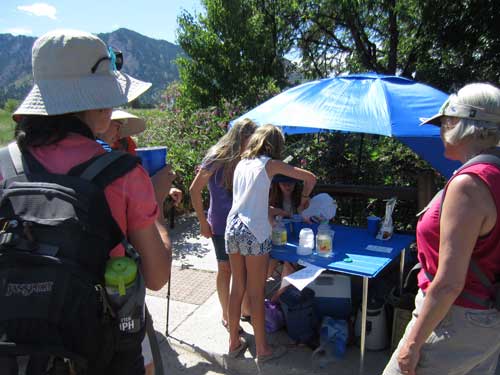
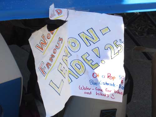
It was apparently 'World Famous' as well!
We followed the NCAR-Table Mesa/Bear Trail along the base of the hill. Fortunately Darcy knew where the tiny, hidden cut-off was to get us back to the road!
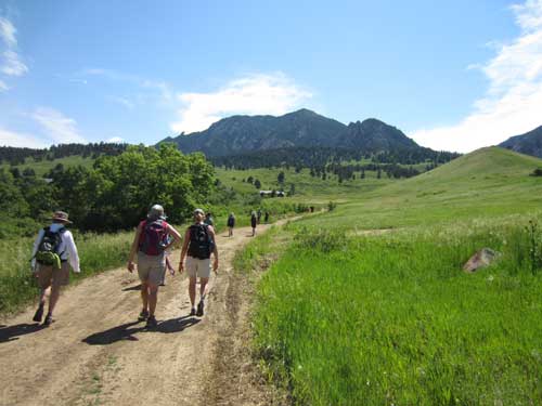
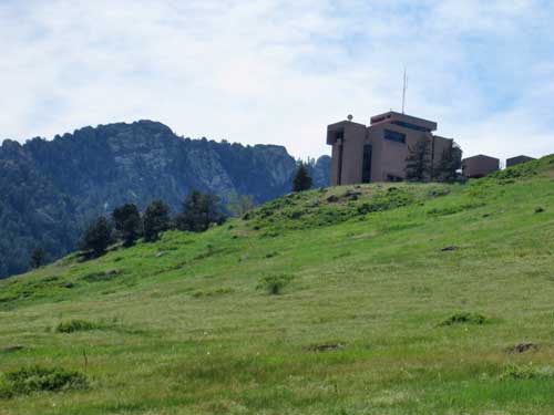
NCAR sat high upon the hill.
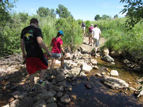
Navigating the cut-off
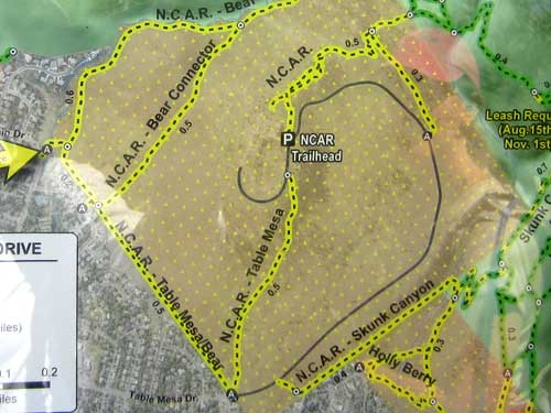
We were almost finished! We just had a few more residential blocks to go.
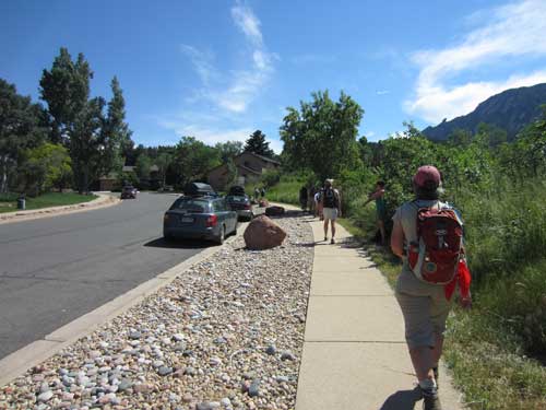
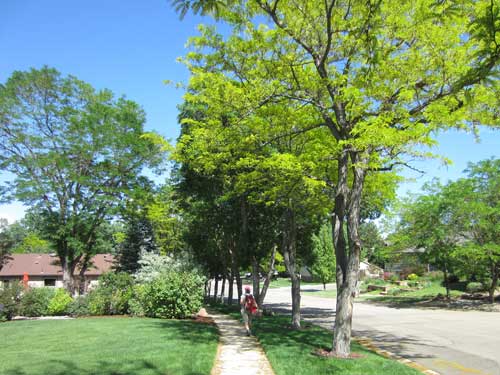
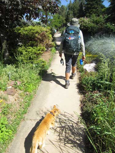
Pumkin the Hiking Cat joined us for about half a block.
Just before 4 pm, we arrived at our destination... the Shanahan Ridge Trailhead!
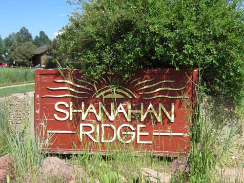
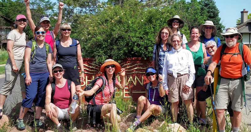
A job well done!
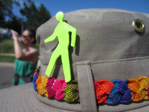
Thanks Darcy and thanks Walk2Connect! We all felt very walked and very connected!

