DRIVE (Day 16 - part 1)
The final stretch home, following the I70 across Utah and then Colorado.
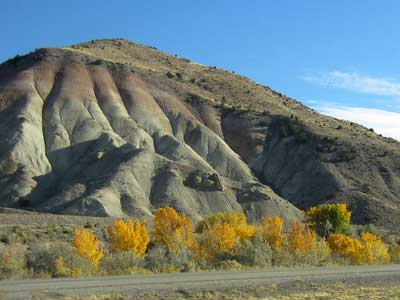


A stop at the Ghost Rock view area...
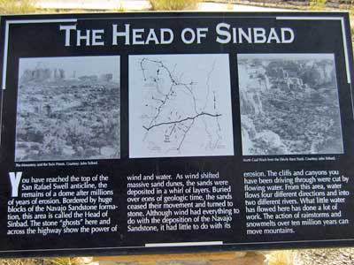
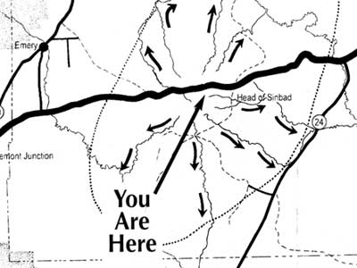
(right) Map of the area (click for a larger view)
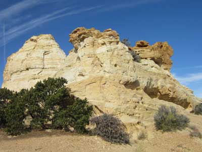
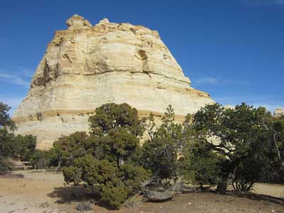
This is the top of the San Rafael Swell (the remains of a giant dome after millions of years of erosion). Surrounded by huge blocks of the Navajo Sandstone formation, the area is named the Head of Sinbad after a local pictograph.
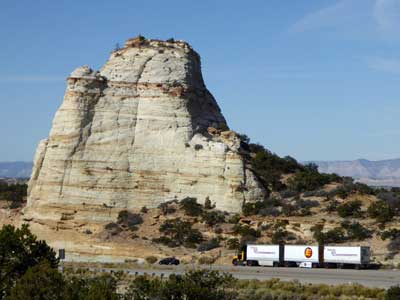

The highway far below that we'll be continuing on shortly
Continuing on...

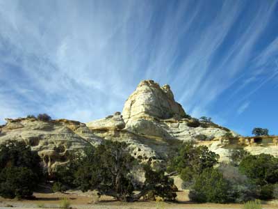
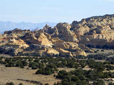
The same row of rocks, now seen at eye level
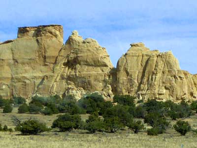
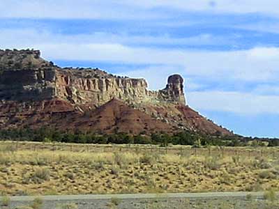

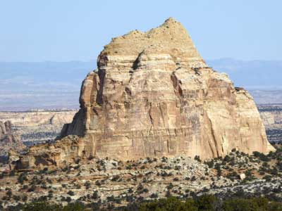
Looking back up at the top of the cliffs we were just standing on
Another quick stop at the Spotted Wolf Canyon View area, looking out toward the San Rafael Swell...
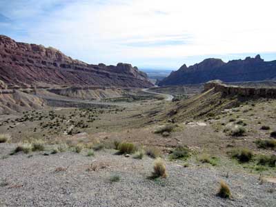
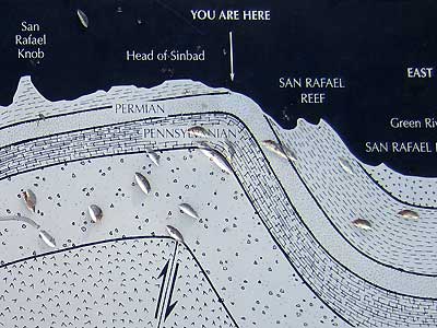
For centuries, the San Rafael Swell was called the San Rafael Reef. The 75-mile-long and 40-mile-wide wall of sandstone, limestone and shale was a huge problem for the early settlers. In 1957, Congress decided to increase the nation's interstate highway system. Originally, workers could stand in the canyon and touch both walls. Crews excavated 3.5 million cubic yards of rock and lay down eight miles of road through the swell. It opened in 1970. Two more lanes were added in the mid-80s.
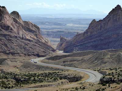
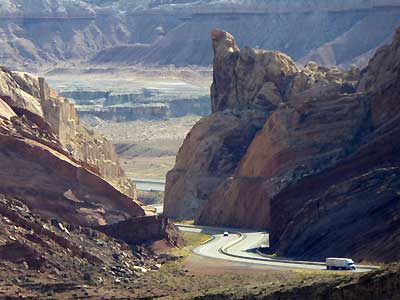
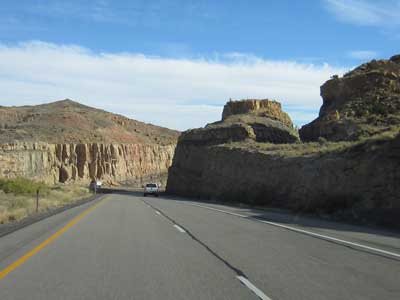
The highway as it cuts through the swell

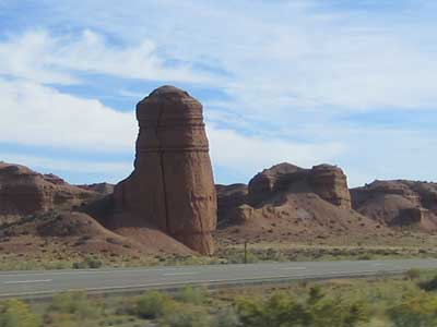
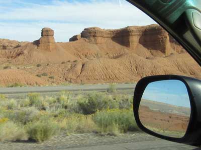
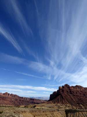
Spectacular views all around
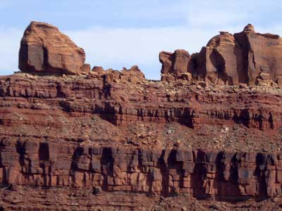
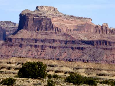
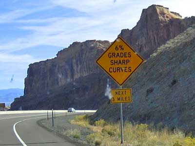
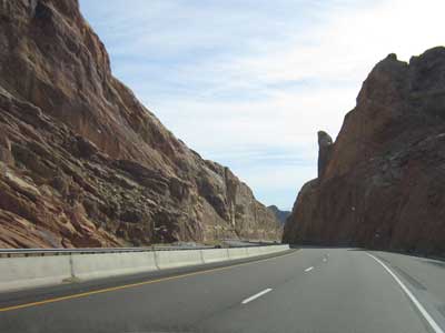
Driving down through the swell
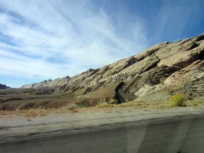
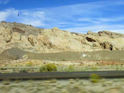

Looking back at the swell
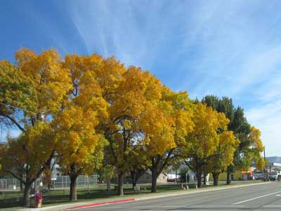
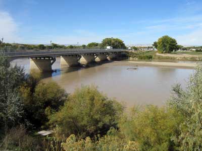
Entering Green River...
return • continue

