CRATER LAKE & MT. SHASTA (Day 4 - part 3)
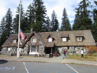
We made our way back to the park headquarters and visitor center.
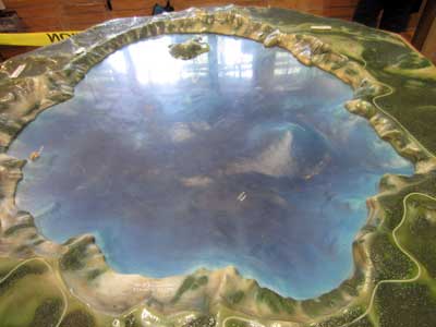
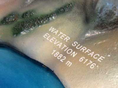
A model of the lake
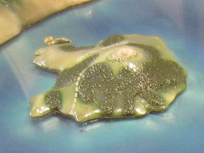
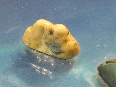
Wizard Island ... and Phantom Ship
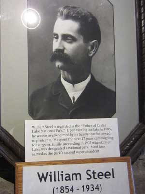
William Steel is regarded as the father of Crater Lake National Park. After a visit here in 1885, he spent the next 17 years campaigning for its protection.
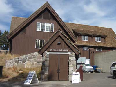
We then popped over to the Rim Village visitor center where we wandered a bit along the caldera's rim. There were many informative signs.
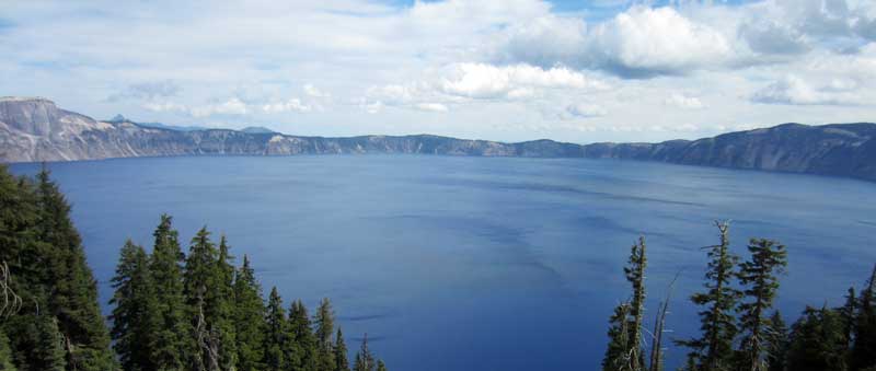
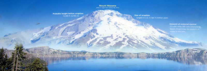
Mt. Mazama.... after it grew but before it blew, fell and filled
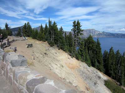
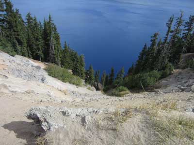
Steep!
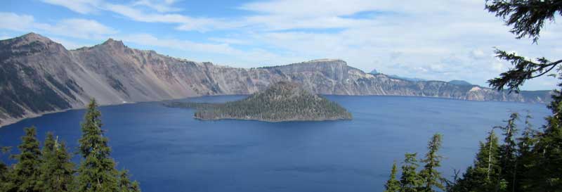
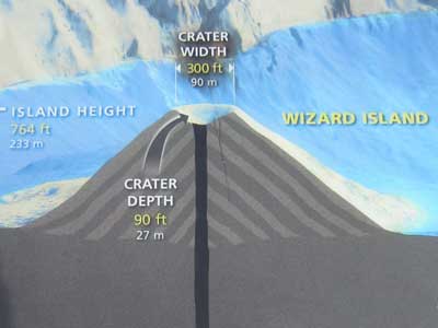
Wizard Island
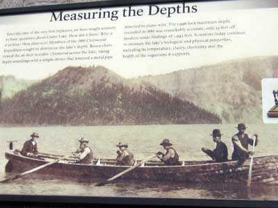
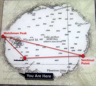
In 1886, the depth of the lake was measured using a metal pipe attached to piano wire. They were remarkably accurate... with the maximum depth being only 53 feet off from modern sonar readings.
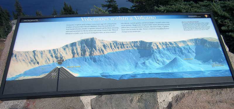
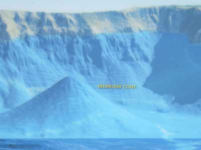
After the collapse of Mount Mazama, smaller eruptions helped seal the floor over the next 300 - 400 years, which allowed water to start to collect. Wizard Island peeks above the lake's surface, while smaller ones (such as Merriam Cone) remain hidden.
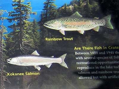
Originally there were no fish, but in 1888 and 1941, rainbow trout and kakanee salmon were added. The lake rarely freezes because of its tremendous amount of volume yet relatively little surface area. It hasn't frozen over since 1949.

On average, the park receives 43 feet of snow per year, leaving the terrain blanketed in white 8 months a year.
We left Crater Lake National Park and continued our drive south.
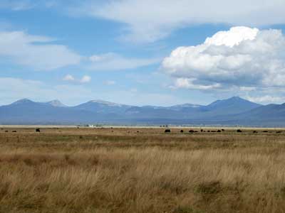
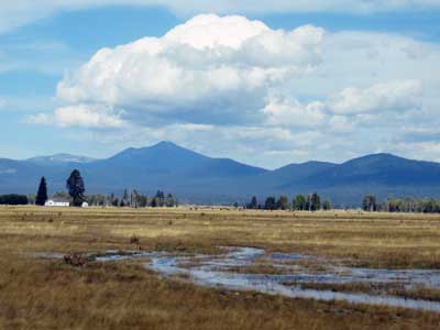
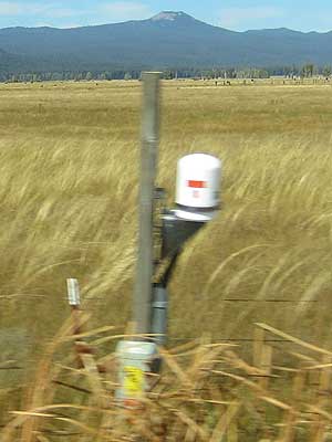
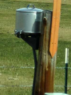
There were many of these odd pieces of equipment lining the road which assumedly all belonged to a seismic monitoring system.
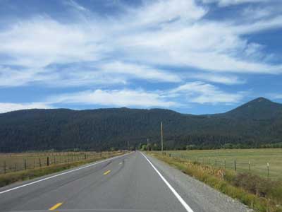
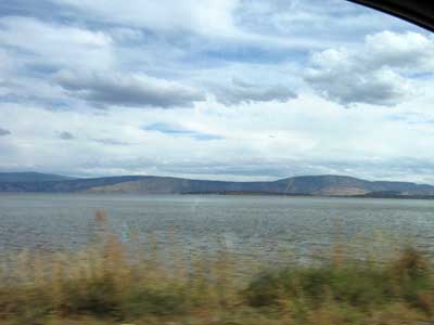
Upper Klamath Lake
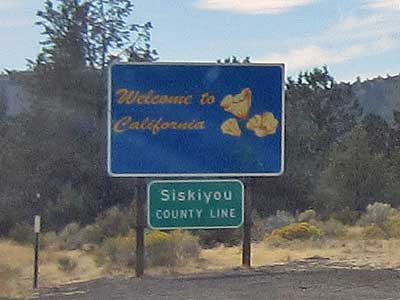
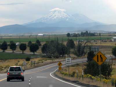
Entering California .... with Mt. Shasta in the far distance
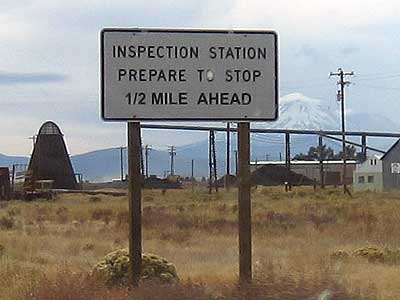
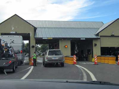
An agriculture inspection station, to protect against invasion of exotic pests and diseases
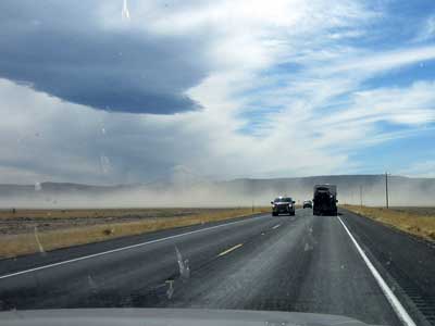
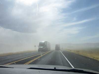
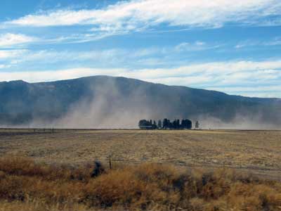
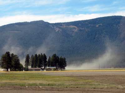
A huge dust storm
return • continue

