CRATER LAKE & MT. SHASTA (Day 4 - part 4)
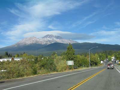
We made a quick stop at the Mt. Shasta Vista Point.
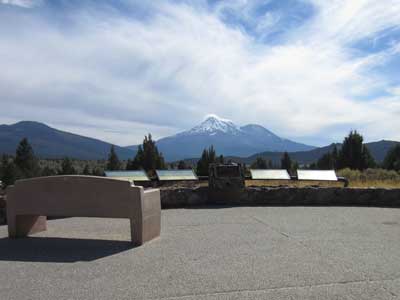
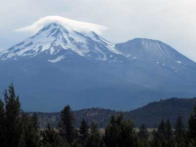
The north side
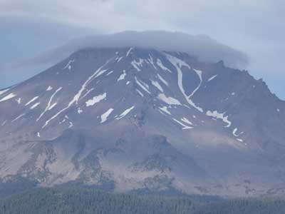
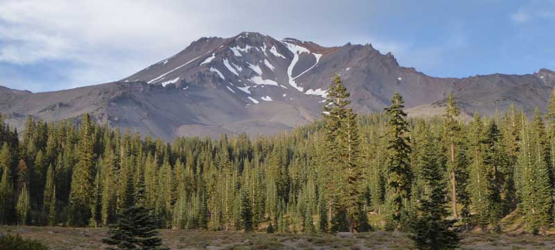
Mount Shasta, located at the southern end of the Cascade Range, is a "stratovolcano," meaning it forms, erupts and then rebuilds itself in cycles. Mt. Shasta consists of four overlapping volcanic cones, including the main summit (Shasta) and a prominent satellite cone (Shastina).
It was built through five major stages, spanning about 500,000 years. The first volcano grew as large as our current mountain, but it was largely destroyed 300,000 years ago in a huge eruption and landslide that extended for 25 miles. It rebuilt itself four more times, with each lava flow hardening and building on top of the previous one.
Mt. Shasta has erupted at least 10 times in the past 4,500 years. The latest time may have been in 1786, having been supposedly seen by explorers sailing off the coast. It is still considered active.
Mount Shasta:
14,179 foot elevation (11,000 feet from base to summit); only 248 feet shorter than Mt. Rainier; has a 17 mile diameter with 5 glaciers
Shastina Cone:
12,330 foot elevation; age 9,700 years; most recent eruption 9,400 years
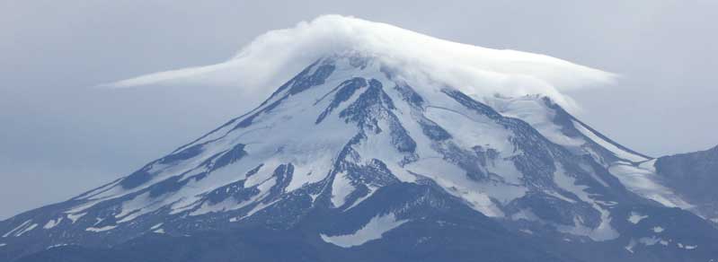
These are the largest active glaciers in California.

The four volcanic stages that built the current mountain
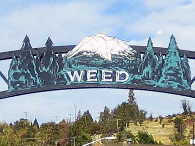
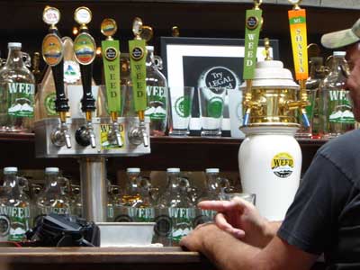
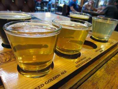
We continued our journey south towards the mountain but decided to stop to grab some lunch and a couple of beers in the small city of Weed. It takes its name from Abner Weed (1842 - 1917), a pioneer and the founder of the local lumber mill.
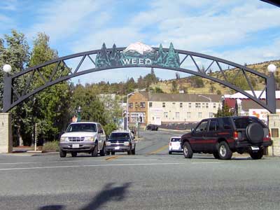


It was only another 10 miles or so to the city of Mt. Shasta.
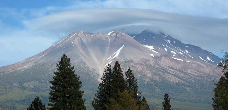
The west side, with Shastina in front
The name Shasta is a modern spelling of Sastise, a Native American tribe first recorded in a journal entry in 1826 by Peter Skene Ogden (our famous fur trapper). He later gave the name Sasty to another mountain in southern Oregon. Mt. Shasta was then known as Mt. Simpson, Pit Mountain or Mt. Jackson. Explorers in the 1830s and 40s often got all the names and mountains confused. Based on a US Exploring Expedition in 1841, Sasty became Shasty and applied to our mountain today.
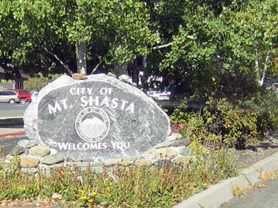
We stopped in the local visitor center and got directions to a few interesting spots. First on our list was Lake Siskiyou. It's actually a reservoir formed by Box Canyon Dam on the Sacramento River.

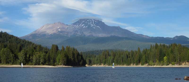
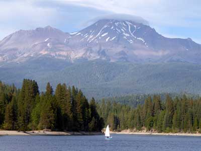
The southwest view
We followed the map from the visitor center and headed up the south side of the mountain along the Everitt Memorial Highway until we reached its end at the Old Ski Bowl.
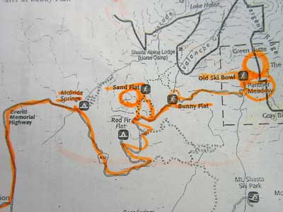
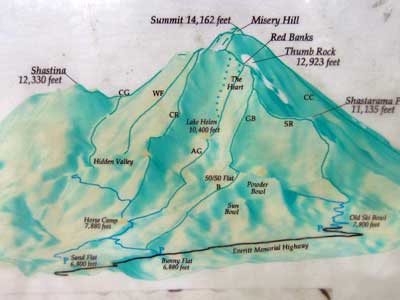
(right) Click for a larger view
The Shasta Snowline Highway was renamed in 1934 after John Samuel Everitt, a national forest supervisor who died in a forest fire on the mountain.
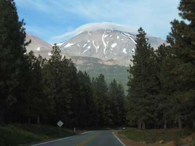
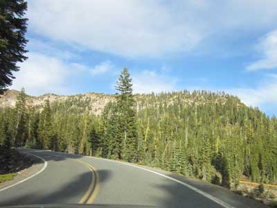
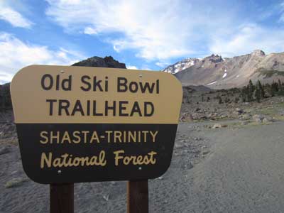
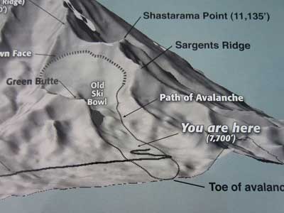
At the top
Old Ski Bowl (elevation 7,760 feet) was named after the ski area which operated from 1959 until 1978, when an avalanche destroyed the main chair lift. The area was considered too dangerous to rebuild any skiing facilities.


Looking back down
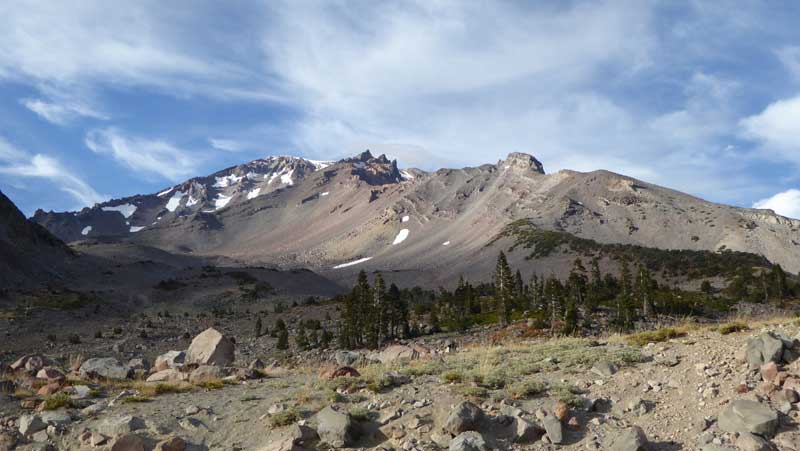
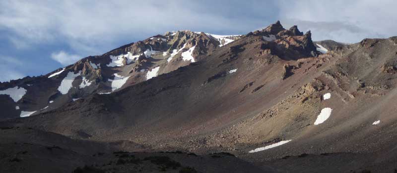
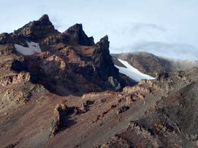
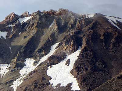
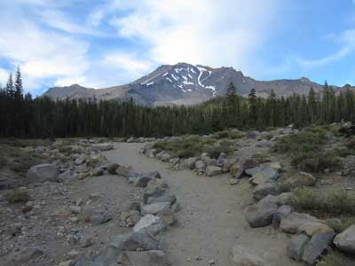
We didn't stay too long because it was quite cold! But on our drive back down, we did a short walk at Bunny Flat (elevation 7,020), which was named for the large number of beginning skiers ("snow bunnies") in the 1940s.
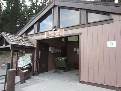
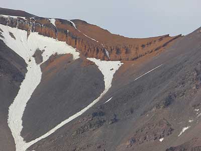
We made our way off the mountain.
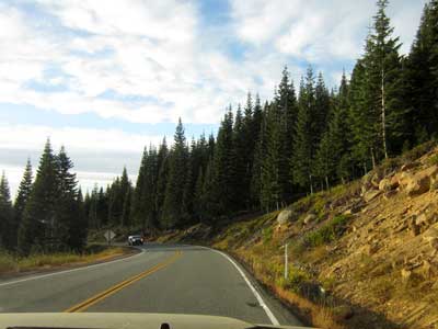
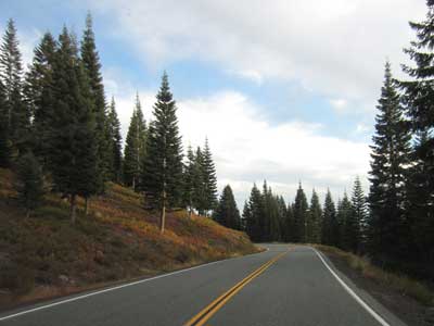
Following our visitor center map again, we went to the headwaters of the Sacramento River, the main river of northern California and the largest river in California. Starting here, it flows south for 400 miles before reaching San Francisco Bay.
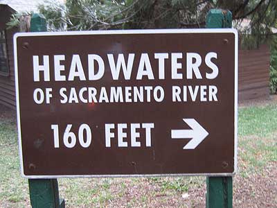
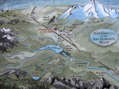
(right) Click for a larger view
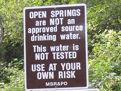
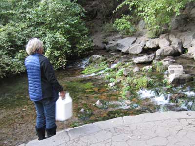
In spite of the warning, there were many people there filling up empty water jugs.
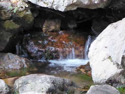
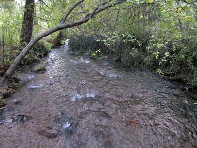
The river starts ... and sets out on its long journey.
return • continue

