BRYCE CANYON NATIONAL PARK (Day 19 - part 2)
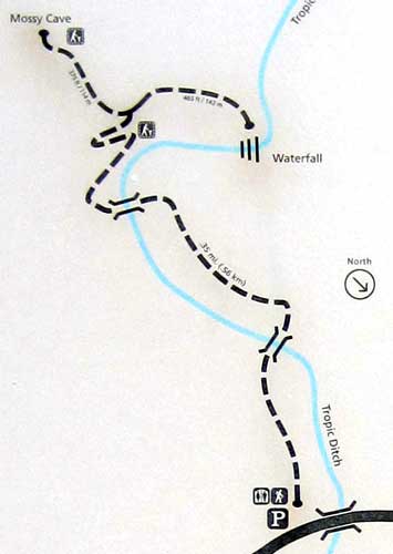
To get to the Mossy Cave Trail, one technically had to drive out of the park then follow the highway across the top of the park, stopping in a small parking lot. There wasn't a single space to be had so I ended up having to park alongside the road.
It was a very short, easy trail, under a mile round trip. But it had a brass marker and I was determined to collect them!
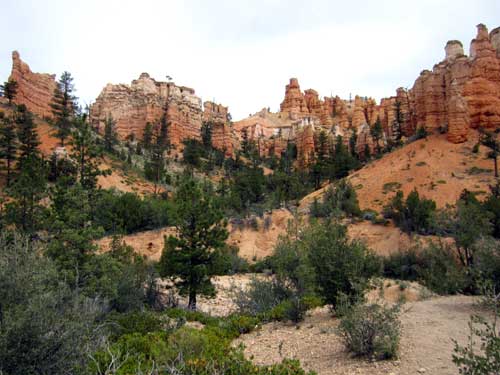
Some lovely views
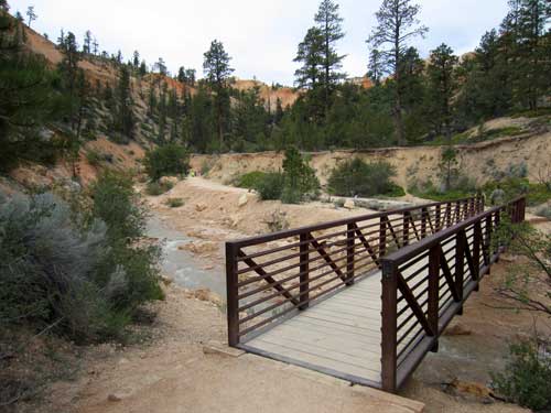
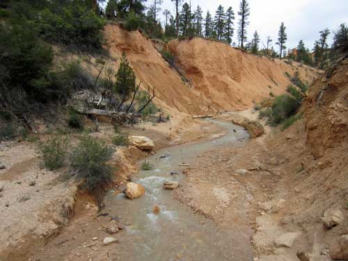
When Mormon settlers came to the Bryce valley in the late 1800s, they found many of the key ingredients for successful homesteading... good soil, plenty of food for their livestock, a long growing season... but not a reliable source of water. Even the large Paria River ran dry at times.
So in 1890, they decided to divert water from the East Fork of the Sevier River. During the next 2 years, they hand-dug the 10-mile Tropic Canal across the rocky Paunsaugunt Plateau, diverting the water here (a historically dry wash now known as Water Canyon).
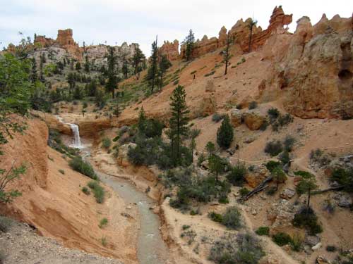
Water now flows year-round through a once-dry gulch.
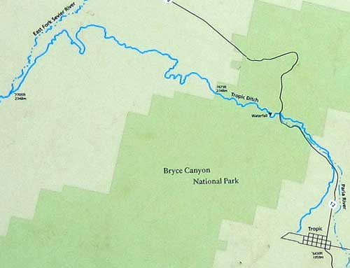
The Tropic Ditch runs from the Sevier River to the town of Tropic.
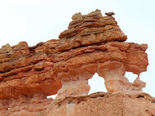
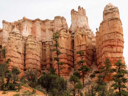
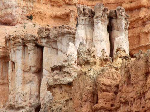
More interesting formations
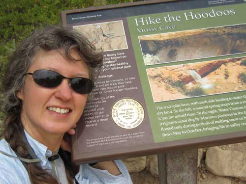
My first marker!
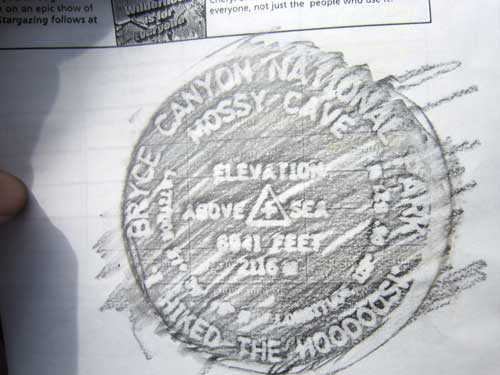
And the proof to take with me to the ranger station
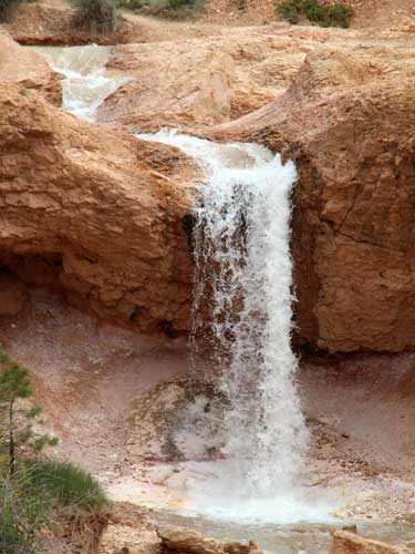
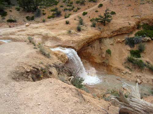
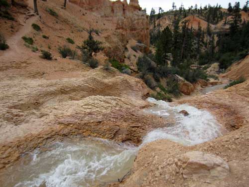
I wandered over to the waterfall. It was running quite swiftly. I debated crossing it and exploring the other side but decided I was more interested in seeing the cave.
As I approached Mossy Cave, a couple was busy testing the rock for climbing purposes. They were aggressively trying to pull off pieces (to see how sturdy it was) and were talking about where one could put in bolts. The guy was talking about how annoyed he was that a lot of places were being closed off where he used to climb. Fortunately he'd already carved his initials into them before they did. Duh... that's probably WHY they had to close it off, from all the destruction and vandalism.

Such a self-centered species we have become... everything is about our entertainment, no longer about the simple beauty and pristineness of nature.
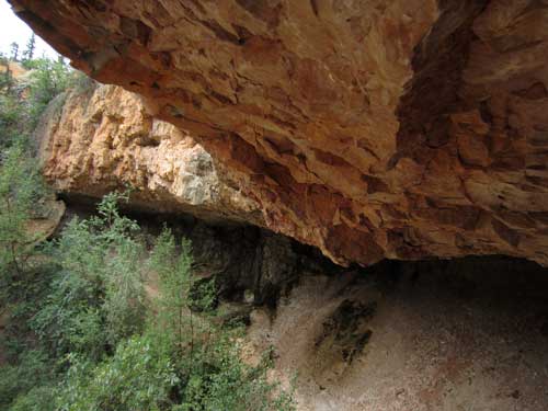
This grotto gradually gets bigger as an underground springs slowly dissolves away that calcite that bonds together the silts and muds of the Claron Formation. It remains a moist and cool environment during the summer but chills quickly (with long icicles) by late fall.
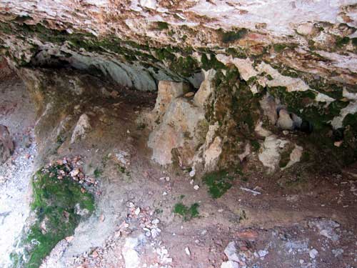
Clearly the moss after which it is named
I then began the easy walk back down. The smell of the ponderosa pines was delicious!
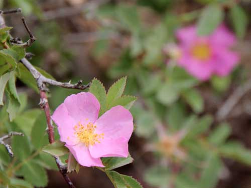
Wild roses
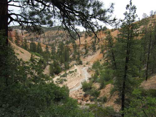
The Ponderosa Pine (or Western Yellow Pine) is one of the Southwest's tallest trees, growing to heights of over 200 feet. Large trees live for 500 or more years. Named for its heavy (ponderous) wood, it is the region's major lumber tree. Ponderosas are easily recognized by their tall, straight, thick trunks and scaled, rusty-orange bark that is split into big plates.
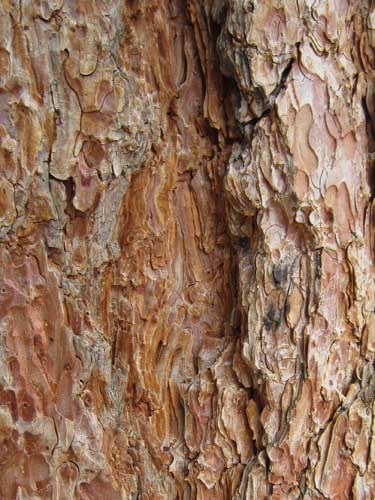
The bark also smells like butterscotch! It's absolutely scrumptious!
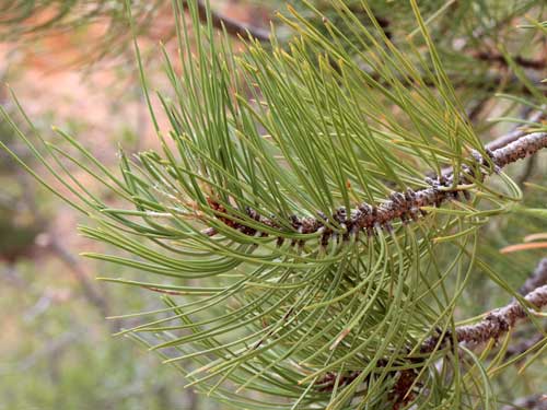
The 4-8 inch long evergreen needles are thick, flexible and come in bundles of three.
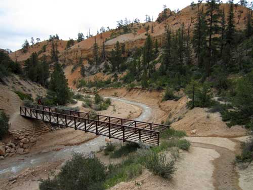
The trail back
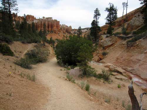
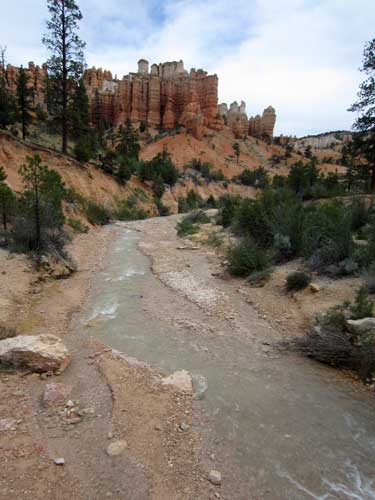
I then drove back into the park (not worried so much this time about having to wait in line) and stopped at the Inspiration Point overlook. Bryce also had a shuttle but it wasn't nearly as convenient as Zion. It was not close enough to the campground to walk to but there was only limited one hour parking at the visitor center where a main stop was. So unfortunately I ended up driving most of the time.
Inspiration Point sits at an elevation of 8,100 feet. When I arrived, a group of French kids were busy throwing pebbles over edge.... in spite of the fact there are trails below.... with people on them.
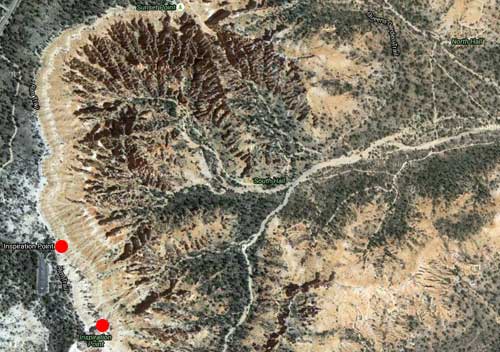
A satellite view of the area (with the upper dot being the lower observation point and the lower dot being the upper observation point)
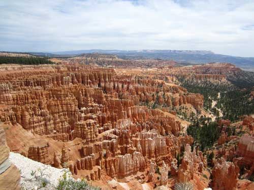
The lower observation point
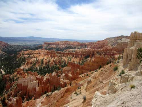
Here is the Paiute story about hoodoos:
Before there were any Indians, the Legend People lived in this place. They were of many kinds... birds, animals, lizards, and such things... but they had the power to make themselves look like people. For some reason, the Legend People were bad, so Coyote turned them all into rocks. You can see them in that place now, all turned into rocks; some standing in rows, some sitting down, some holding onto others. You can see their faces with paint on them just as they were before they became rocks.
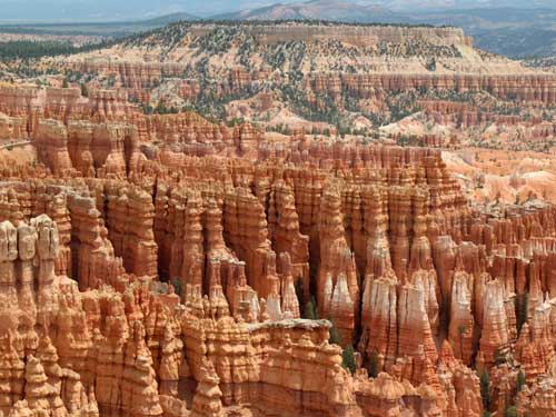
They do kinda look like a large group of people just standing around.
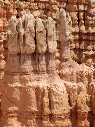
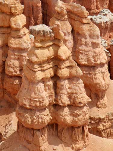
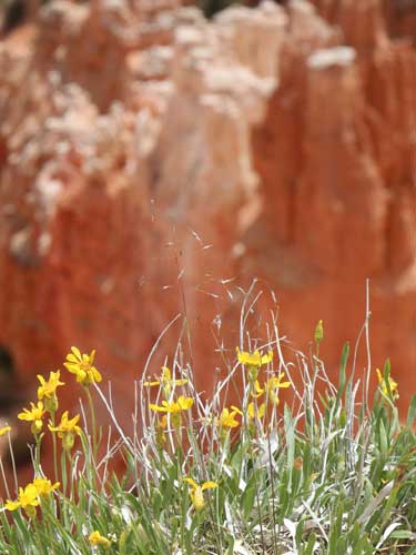
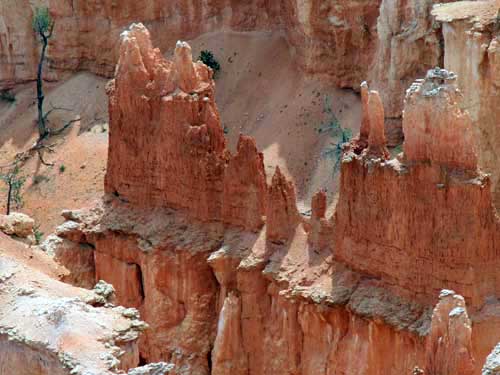
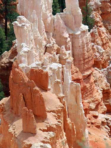
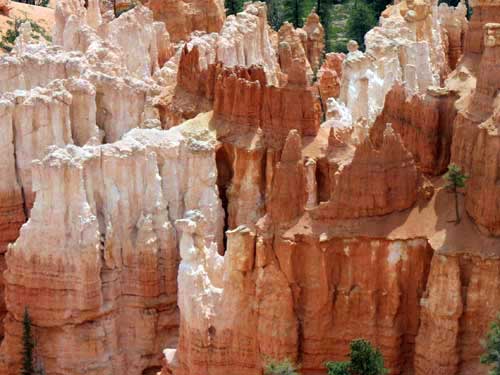
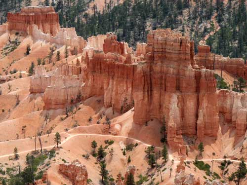
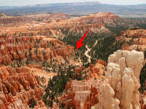
Paths crisscrossed the valley below (remember the kids throwing stones over the edge?).
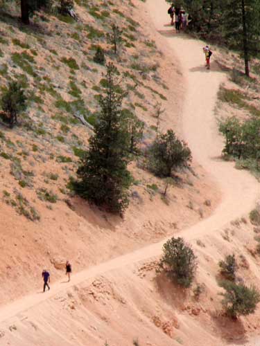
For a better sense of scale...
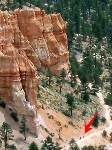
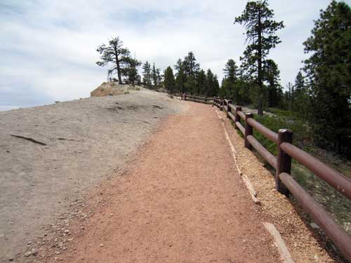
The followed the Rim Trail to the upper observation point.
return • continue

