BRYCE CANYON NATIONAL PARK (Day 19 - part 3)
The view from upper observation area of Inspiration Point was indeed... inspirational.
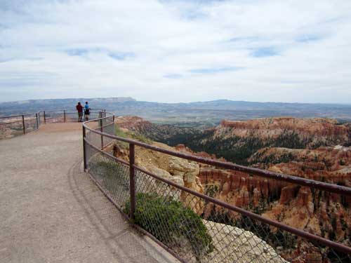
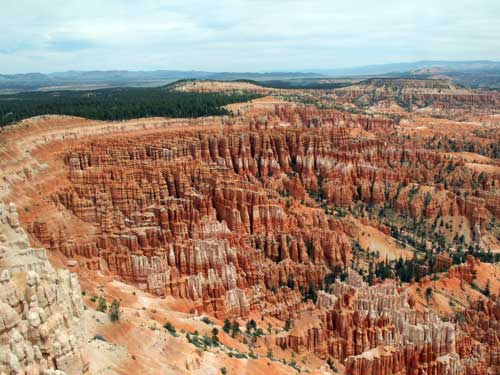
Left side view...
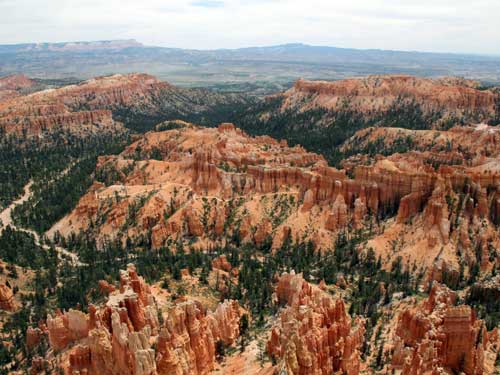
... center view...
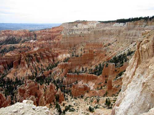
... right side view
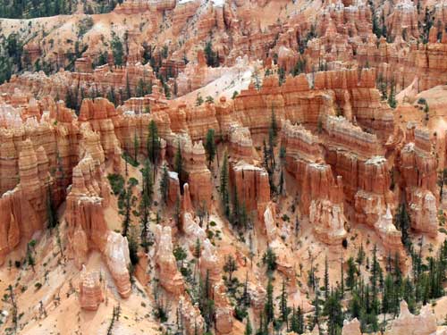
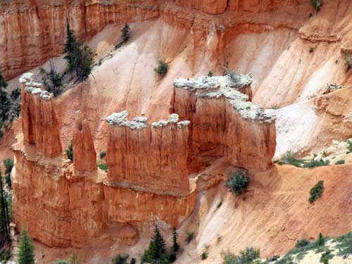
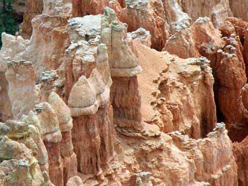
These look a bit like the ones at Kasha-Katuwe National Monument.
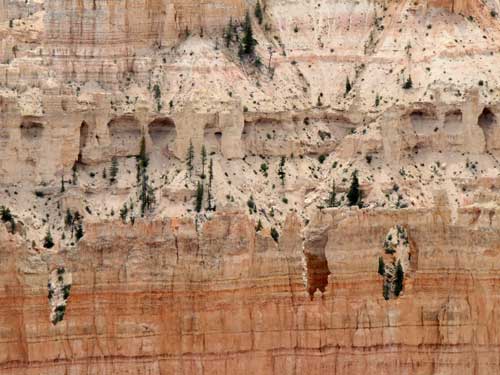
Erosion in progress. A cliff full of...
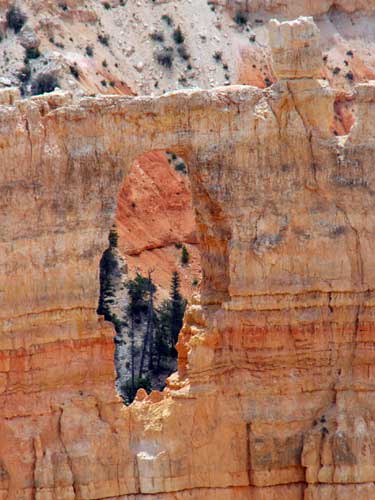
... windows...
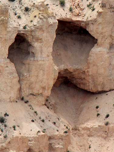
... and caves.
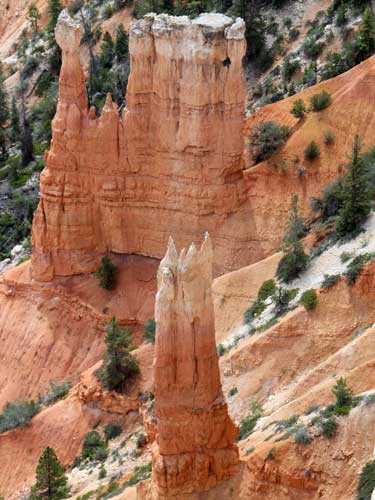
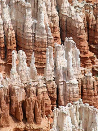
Do you prefer your colors mixed...
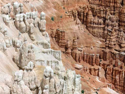
... or separate?
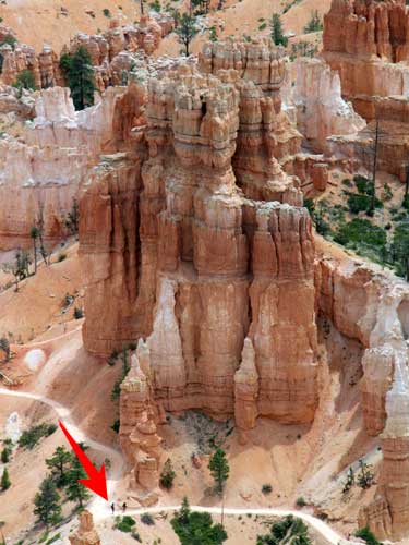
Scale
I then headed back to the car.
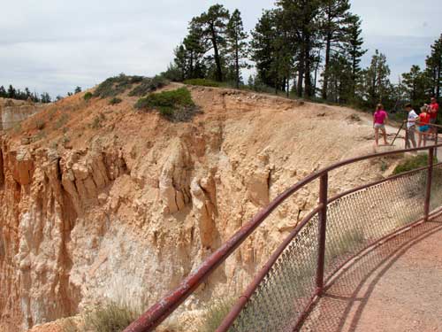
In spite of fences designed to keep people safe, this photo is more important. But would you stand on the edge of...
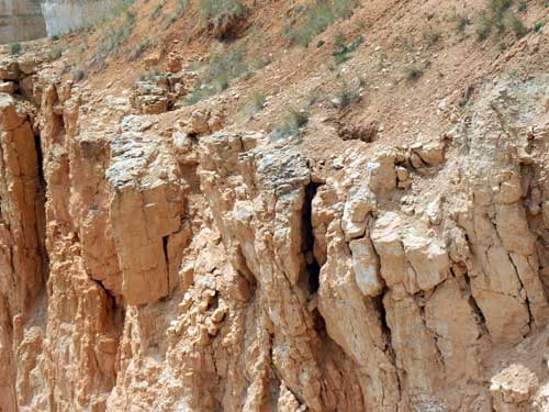
... something that looked like it was ready to give way at any moment?
According to statistics, Bryce averages less than one fatality per year. Causes? Heart attacks, falling off cliffs, lightning and car accidents. That said, while one may not actually die, there have been hundreds of serious injuries. Again, causes include driving too fast, hitting animals, climbing, feeding animals that become aggressive, ignoring extreme weather (which can range 50 degrees F in a single day), dehydration, getting lost, over-exertion (high elevations of 9,115 feett), and bad choice of footwear.
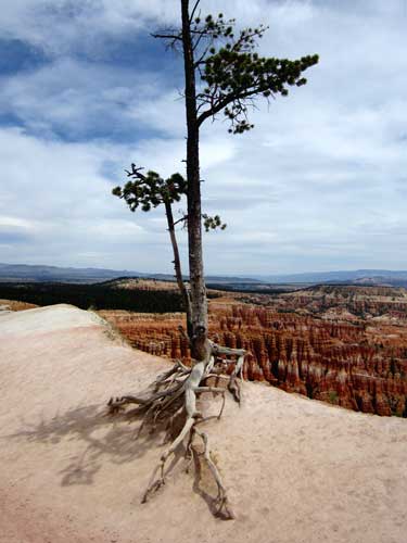
This tree does all it can to hold on!
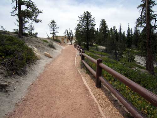
The trail back
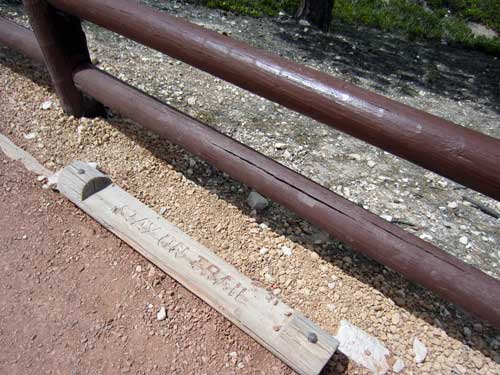
The big fence looks like it had to be added because people simply wouldn't respect the 'requests' of the old path lining. Like overly domesticated cattle, we apparently wander around dumb and oblivious and need to be corralled.
I was going to do a big hike (Peekaboo Loop Trail from Bryce Point) but I just didn't feel like it for some reason. I kept trying to talk myself into it, but the feeling of resistance only intensified. So instead I decided to do an easier hike today and simply do that one tomorrow. As it turns out (as I was soon to learn), the section of the trail I was going to take down was closed due to rockfall.
So I drove to Sunset Point, took the right side of Navajo Loop down, went partially back up the other side of the loop to Two Bridges, went back down to the Queens Garden Trail, headed up to Sunrise Point, and followed the Rim Trail to Sunset Point where car was. Whew!
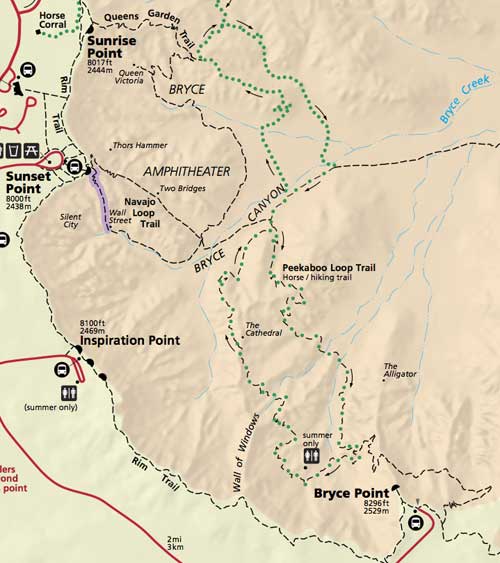
The purple color means that section of the trail is routinely closed in winter.
The little squiggly lines indicating switchbacks were SEVERELY under drawn! Wow was it steep!
On the way down, I met a man from California who was driving with his daughter and grandkids to West Virginia. He only had a very tiny water bottle with him... and it was already almost empty. They had gone on ahead and told him they would find him again eventually. It was quite warm out and he still had to make the trek back up, so I refilled his bottle with some of my extra water, which was hardly anything given how tiny it was. It's not uncommon for people to actually die of dehydration in some of the more remote wilderness areas because they are unprepared.
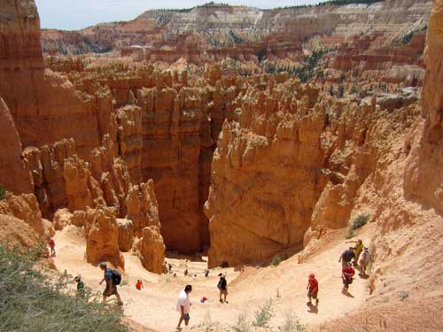
Heading down
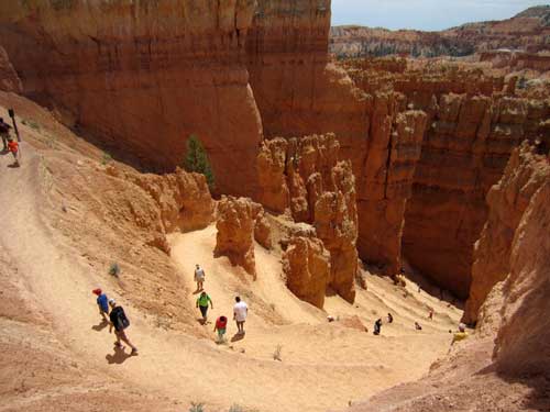
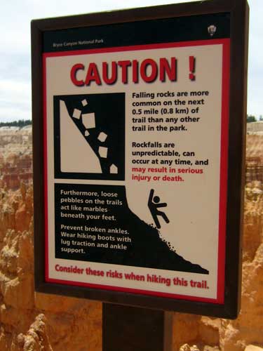
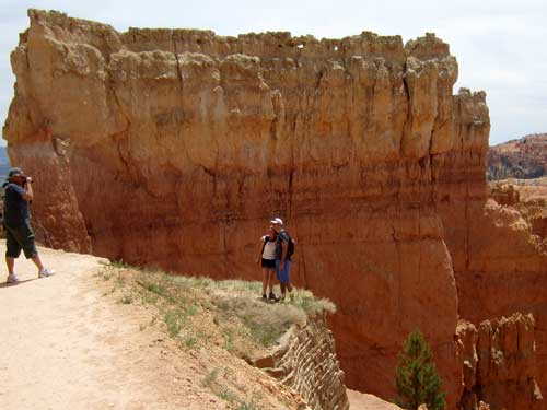
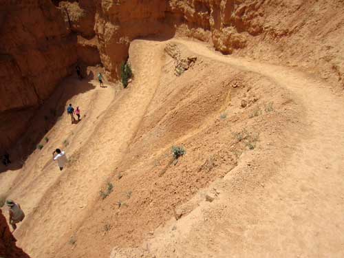
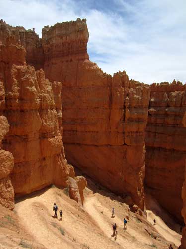
Getting lower... slowly
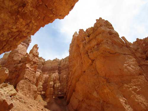
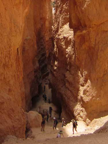
Almost there!
The trail then leveled out a bit as it continued between a set of very tall fins.
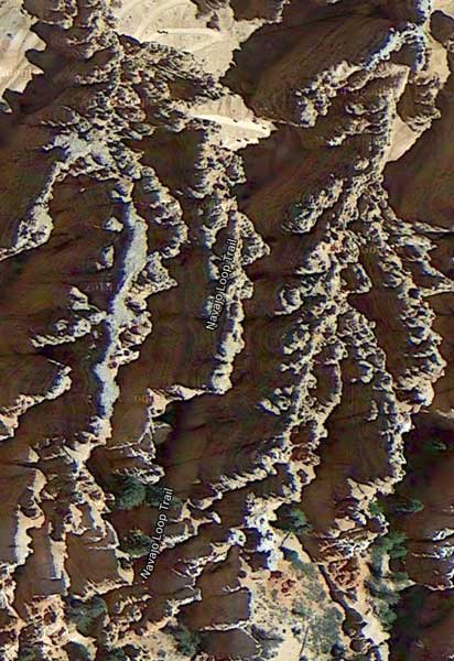
Satellite view of the trail (with the switchbacks at the top)
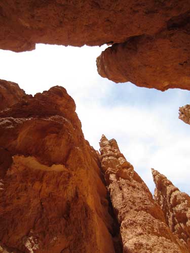
Looking up
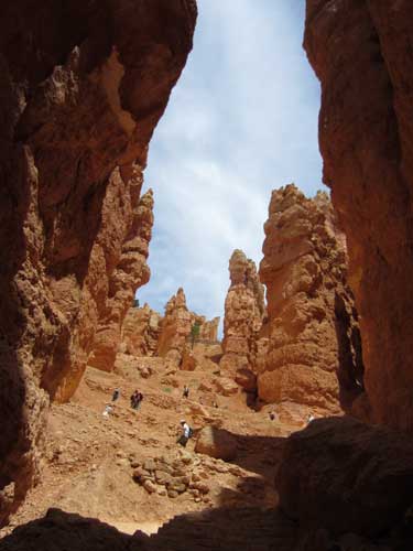
Looking back at the switchbacks
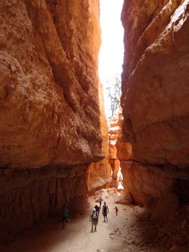
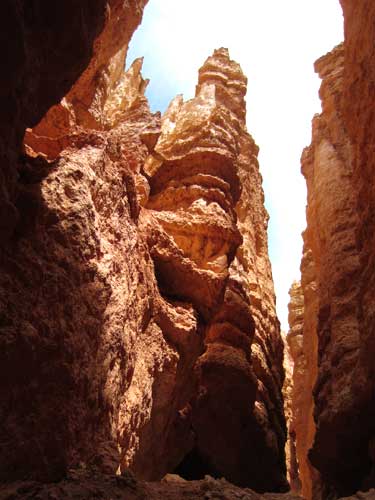
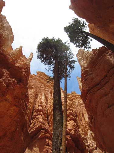
The trees that grew down here were incredibly tall!
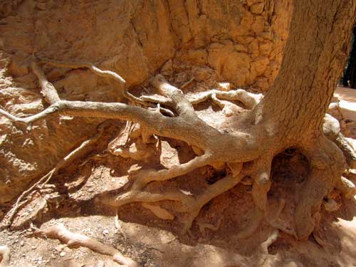
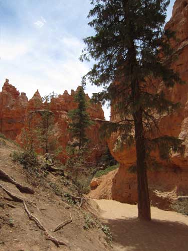
I reached the floor of the amphitheater and the trail opened up again.
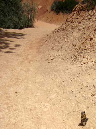
None shall pass! A Uinta chipmunk blocks the way!
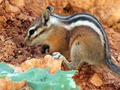
In spite of its seemingly small stature, it is considered a medium-sized chipmunk. It is most common at the edges of pine and fir forests, often near rocky terrain or steep slopes.
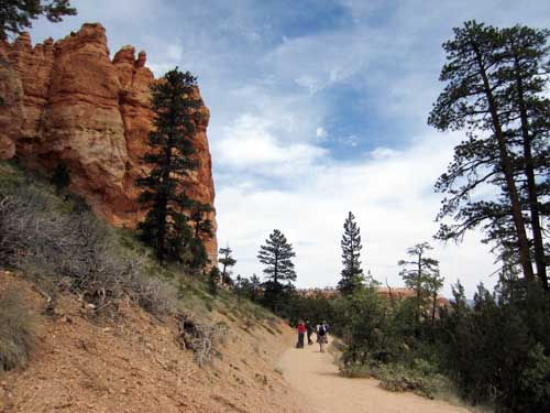
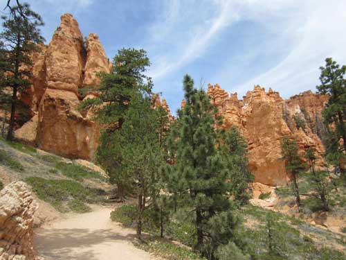
Continuing along the path
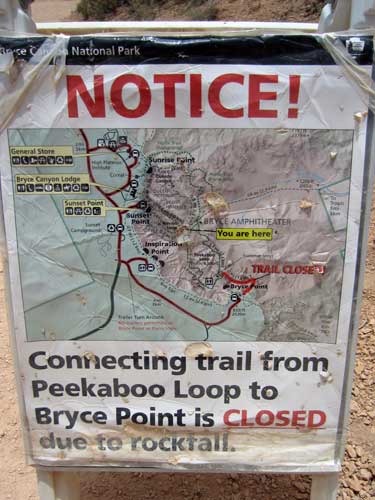
And here it is... the sign that I have chosen wisely!
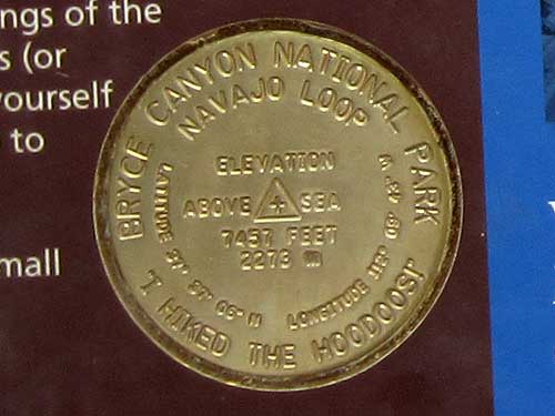
Second marker achieved!
return • continue

