BRYCE CANYON NATIONAL PARK (Day 19 - part 1)
I had my alarm set for 5:30 but awoke at 4:45... so just started my day a bit early. I packed up the car, got some gas and was back out on the road.
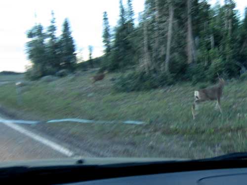
Deer lined the sides of the road. Dawn and dusk are probably the most dangerous time to drive in terms of hitting wildlife on the road.
The entire area is filled with lava flows and other evidence of past volcanic activity. Some of the flows are as young as 1,000 - 5,000 years ago. They come from vents, not a central volcano.
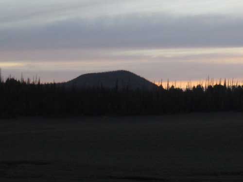
Cinder cones develop from a series of continuous mild volcanic explosions, spewing forth coarse cinders and high-flying globs of hot lava that cooled into hard bombs before hitting the ground. The debris slowly pilled up on the surface around the volcanic vent.
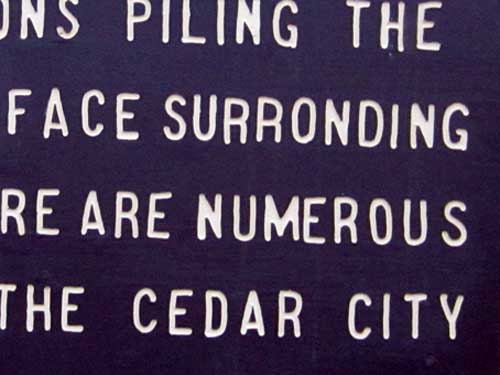
Uh... surronding? Sure, I'm allowed to make typos like that on this website, but on a professional sign? The fact that the entire thing looks hand-carved isn't an excuse either.
My morning goal was to find Cascade Falls, a waterfall that flows from Navajo Lake via a lava tube and is the start of the Virgin River. Sounded pretty cool to me!
In this area, known as the Markagunt Plateau, water actually moves underground through a network of lava tubes. Here and there, it will pop up to the surface in the form of rivers or springs, then vanish again... only to mysteriously reappear elsewhere.
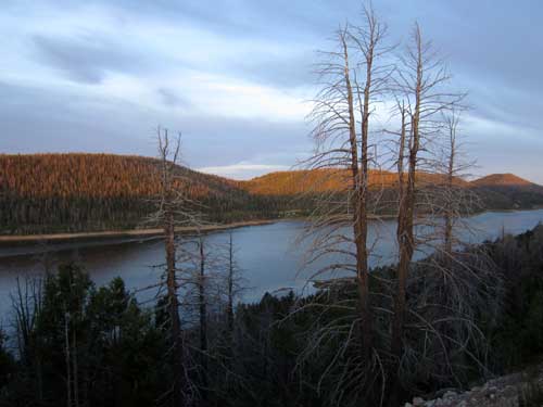
Navajo Lake was formed when a lava flow dammed the east side of the valley.
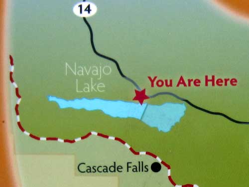
Oooh... getting close!
Along the way I saw a sign saying lava flow. Who could resist such a temptation?! I followed the dirt road but it quickly became questionable with my low clearance, non 4-wheel drive vehicle. I parked at a spot where I could turn around, then continued on foot for a ways. I came up to a tent just off the side of a road. Next to it was a man starting a fire... and a very large dog. The dog proved friendly enough, as did the man, Randy. HIs wife and kid were still asleep in the tent. He said this road got much worse and he had walked a lot of it, but hadn't come across any lava yet. But he said there were many other spots in the area to see some good lava flow.
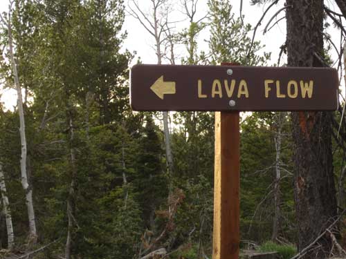
The call of the lava siren
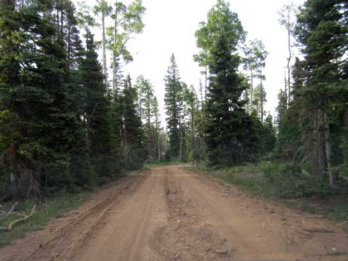
So I returned to my car and then returned to the highway. I turned off at what I thought was the Cascade Falls road... only to realize I'd made a wrong turn (wait, you've heard this story before!).
But as luck would have it, I drove right past a giant lava field! I parked along the side of the road. I was going to have scuttle down a 10 foot ledge and then bushwhack a couple hundred feet... that didn't sound too bad. But just as I started down the steep hill, the sand gave way and my foot caught on a branch. I miraculously managed to stay upright but careened violently down the hill and only stopped by smacking right into a tree. I was fortunately uninjured (just a bit winded) but I apparently scared the life out of a deer that was grazing peacefully nearby. He stared at me wide-eyed for a moment, then took off in a hurry.
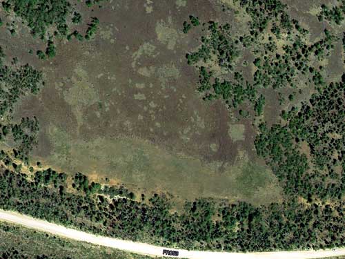
A satellite view... all the dark brown stuff is part of the lava flow.
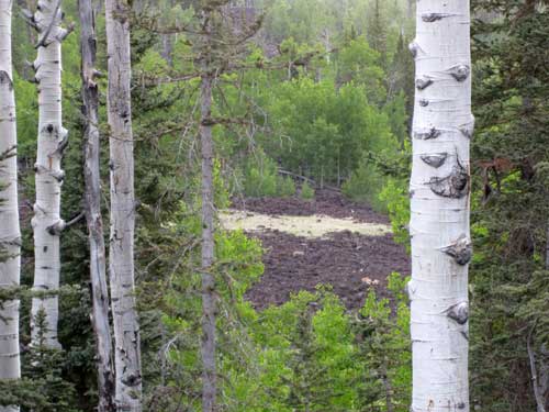
The target is in sight!
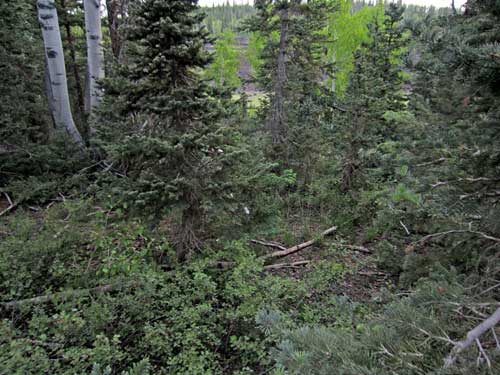
Doesn't look too bad... (last famous words!)
The rest of the walk down to the lava fields was fortunately uneventful. I wandered mostly along the edge of the field. The rocks were EXTREMELY sharp and I already knew that deer was not going to dial 911 should I fall again.
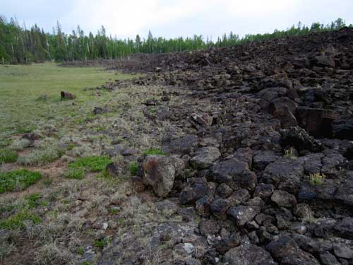
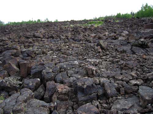
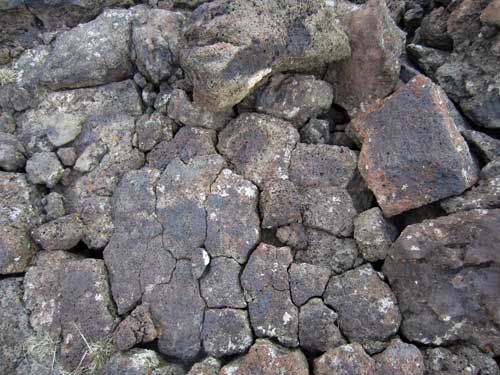
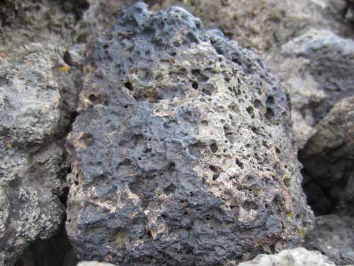
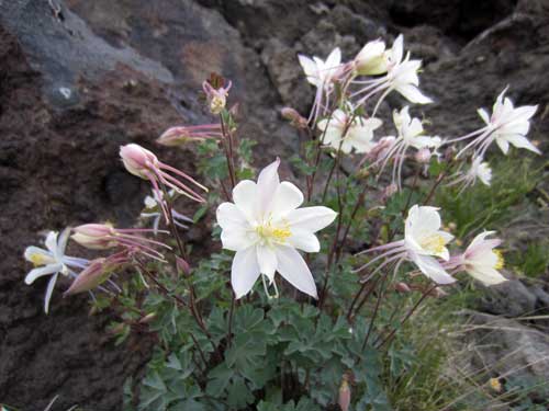
Beauty finds a way to exist among such a beastly terrain.
I didn't linger too long since I was excited to get to the waterfall. The climb back to the car held no harrowing adventures.
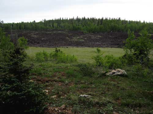
A glance back down
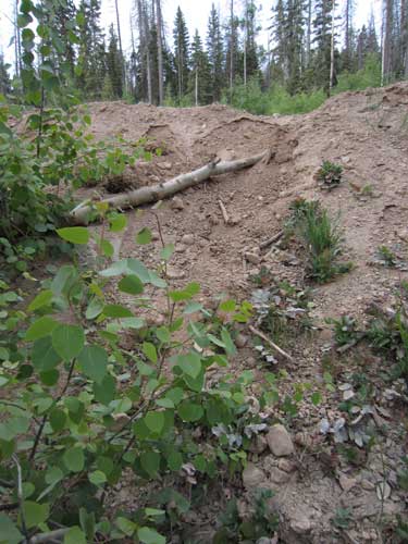
The near-fatal hill going up...
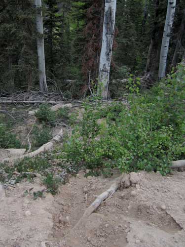
... and looking back down. In the lower right you can see my footprint where the sand gave out and the log I tripped on. Undoubtably one of the trees pictured was the one I ran into!
I retraced my path and turned onto what I thought was the right road. It kinda was, but I need to take yet another right... and there were a couple choices but no signs. Did I chose correctly, you wonder? I shall never know... but probably not. The dirt road turned into a dirt hill turned into a small rocky crevice in the road. I didn't want to risk going any further with my car. Besides, this was perhaps my last chance to turn around as the road continued to get narrower.
I did have the option to try one of the other roads but decided to give up. It clearly was not meant to be.
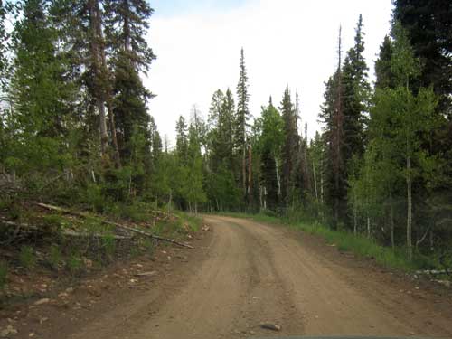
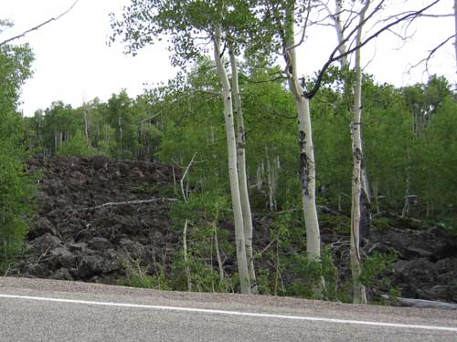
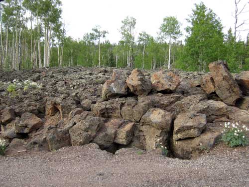
I continued on to Bryce. This roadway were clearly not kind to the deer and many of them lay dead along its sides. But just as Randy had said, there were tons of lava flows alongside the road... with no cliffs or bushwacking involved at all.
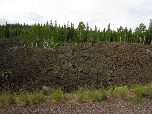
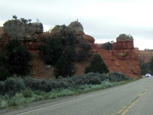
Interesting rock formations! I must be getting close!
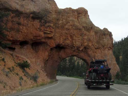
It was 8:40 am when I arrived at the entrance of the National Park. There was already a line. I was a bit concerned since I was hoping to get a campsite in their "First come, First served" section. Fortunately there was still some space and I ended up in the furthest back loop. Perhaps it was indeed a good thing I couldn't find the falls!
It was overcast and chilly. I put up the tent then headed over to the visitor center.
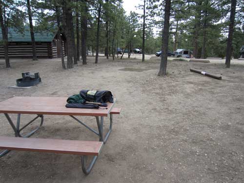
My future Home Sweet Home spot for the next two nights
My first stop was the visitor center to learn all about this exciting new place.
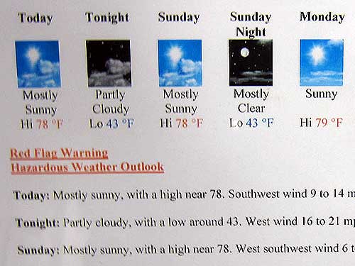
Not great but a tiny bit better than Cedar Breaks! Our elevation here along the top of the rim ranges from 8,000 to 9,000 feet.
Bryce Canyon was established as a National Monument in 1923 and a National Park in 1928. The 55 square miles is named after Ebenezer and Mary Bryce who lived in the area from 1875 - 1880.
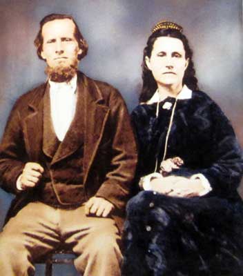
The happy couple
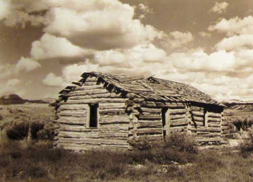
The cabin
In spite of its name, Bryce Canyon is not a canyon but several large natural amphitheaters along the eastern side of the Paunsaugunt Plateau. (This is the same 'canyon' misnomer story we heard about with Cedar Breaks as well). Technically to be a canyon, it would have had to been carved by a central stream, which it wasn't. It was carved by what is called "headward erosion" which is erosion at the origin of a stream channel (which causes the origin to move back away from the direction of the stream flow, and so causes the stream channel to lengthen).
The series of amphitheaters extends more than 20 miles north-to-south within the park. The largest is Bryce Amphitheater, which is 12 miles long, 3 miles wide and 800 feet deep.
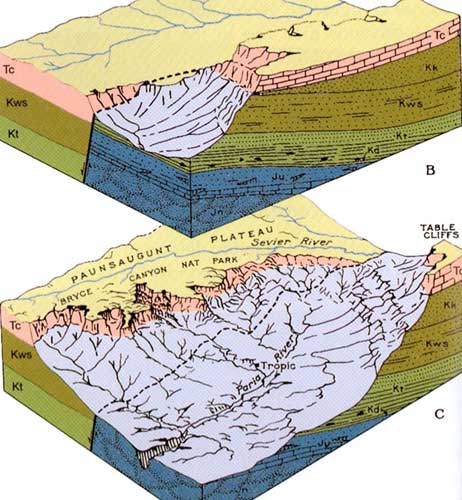
How the amphitheater was carved
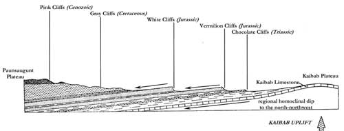
The large area of land stretching from here, through Zion, and down into the Grand Canyon is called the Grand Staircase. It is a series of cliffs with edge forming a sort of giant step:
Pink Cliffs (Cedar Breaks & Bryce Canyon)
Grey Cliffs
White Cliffs (Zion)
Vermilion Cliffs
Chocolate Cliffs (Grand Canyon)

Click for a larger view
Click for a larger view
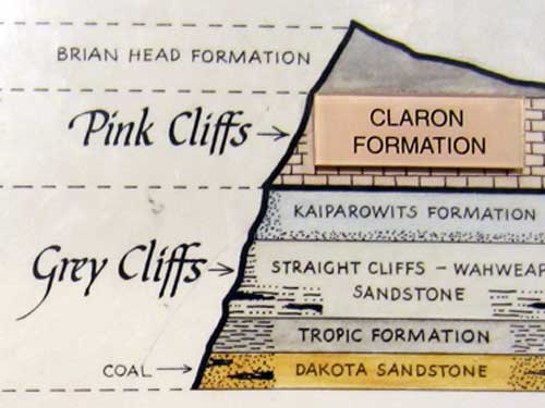
The visible rocks layers exposed here are the youngest Claron Formation (about 55 million years old, during the Cenozoic Era, located in the Pink Cliffs) to the Dakota Sandstone (100 million years old, during the Mesozoic Era, in the Grey Cliffs).
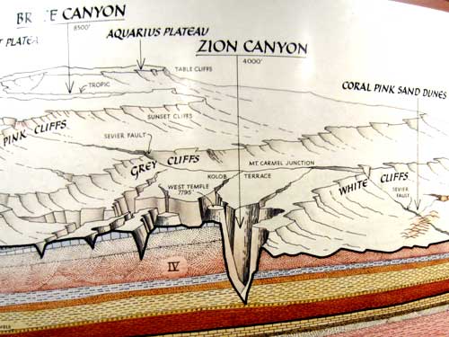
The oldest exposed rocks at Bryce (Dakota Sandstone) are the youngest exposed rocks at Zion.
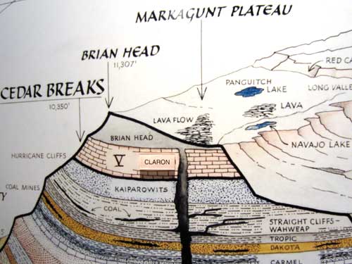
Ah, this helps clarify all the lava fields I just drove through, plus how a waterfall could shoot out of a cliff near Navajo Lake.
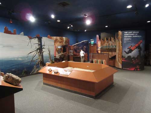
The visitor center
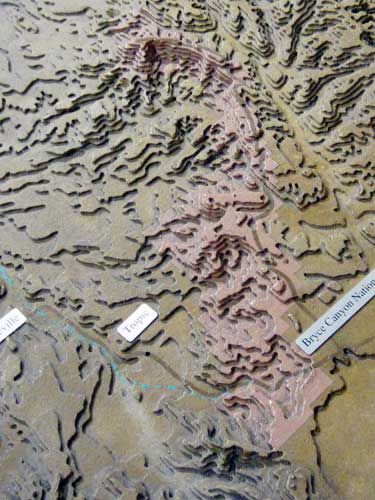
A model helps give a better understanding of the series of amphitheaters (and why the park is long and skinny).
The park is best known for its hoodoos (the columns we saw at Cedar Breaks). Some are up to 200 feet tall!
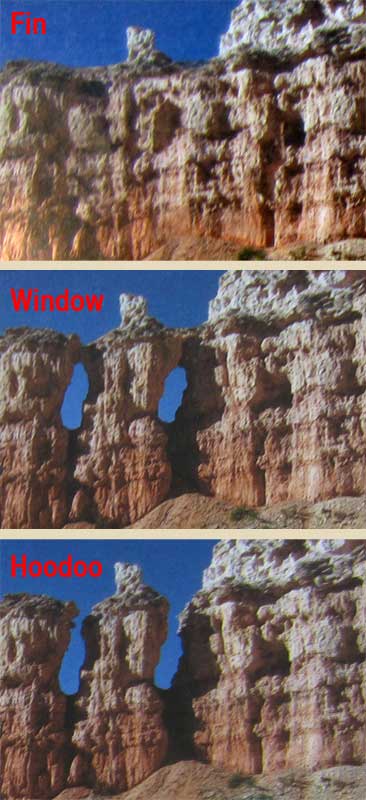
Hoodoos erode out of the cliffs where rows of narrow walls (called fins) form. Frost enlarges cracks in the fins creating holes (called windows). As windows grow, their tops eventually collapses leaving a column. Rain further dissolves and sculpts these pillars into bulbous spires (called hoodoos). Eventually these hoodoos will erode completely away while new ones emerge.
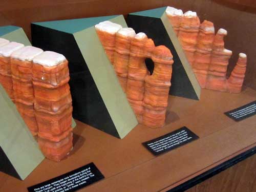
The pink layer is the Claron Formation; the white layer is limestone from a shallow lake.
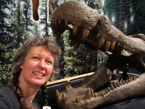
This terrifying beast (uh... the one on the right) is a Deinosuchus... one of the largest crocodilians that ever lived. It reached up to 40 feet long and weighed up to 7 tons! This skull (or rather a copy of a skull) is almost 6 feet! It was one of the most successful predators of the Late Cretaceous (75 million years ago when this area was swampy) and could have had a life span of 100 years (since basically nothing else could kill it).
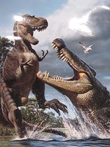
While this is pretty cool and probably did happen from time to time, it mostly fed on large fish and turtles.
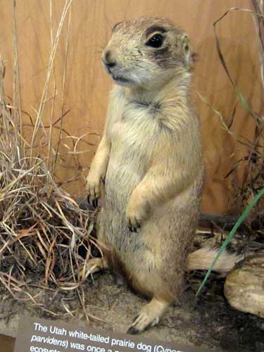
Now this is more my size! Of the five species of North American prairie dogs, the Utah Prairie Dog has always been the rarest, with the smallest population and territory. In the early 1900s, they were estimated at 100,000. Today there are only around 7,000. Disease and habitat loss (from development and farming) have been the biggest culprits. It is currently listed as a 'threatened species.' If this prairie dog disappears, so do possibly the 150 other species that depend on them for survival. Long absent from this area, they have been reintroduced into the park.
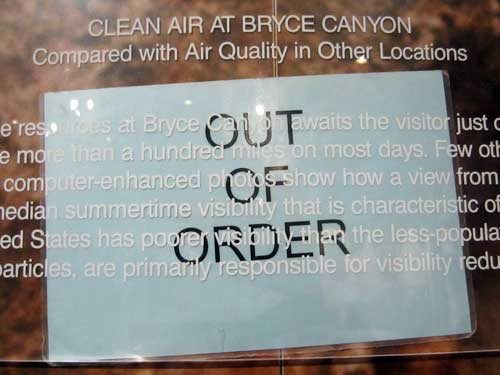
Hopefully this just refers to the exhibit and not our actuall air!
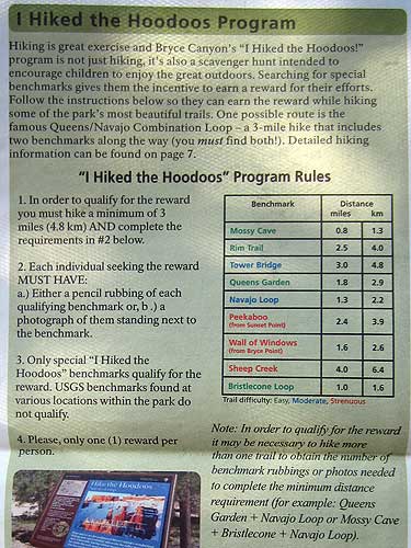
Ooooh... if I collect 3 of these, I get a reward! Suddenly I have my quest ahead of me!
I asked about signing up for the ranger-guided canyon hike, but they weren't offering it within the next couple days since they were understaffed. And so, I was on my own and promptly set out to see something amazing.
return • continue