MESA VERDE (Day 16 - part 2)
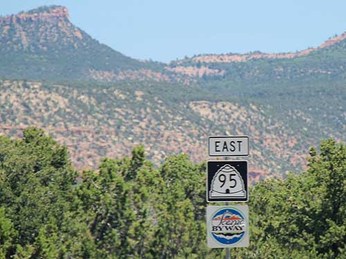
We continued through gorgeous landscape on Highway 95 east toward Blanding.
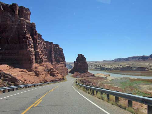
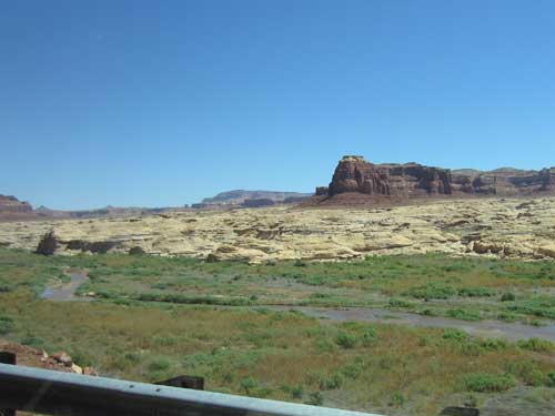
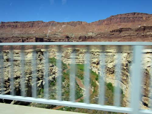
Crossing the Dirty Devil River
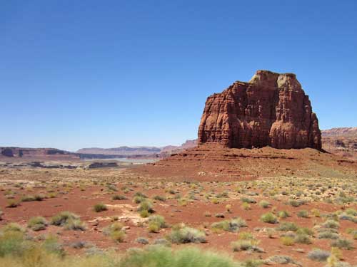
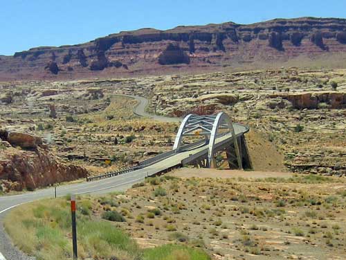
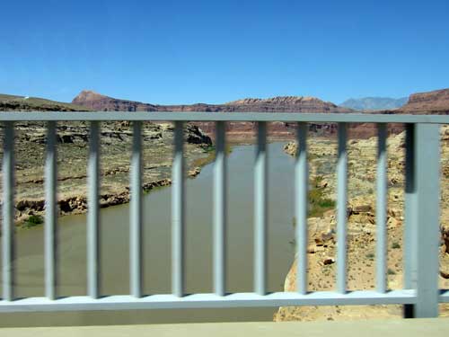
The bridge over the Colorado River that we saw from afar
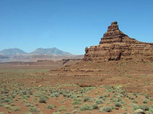
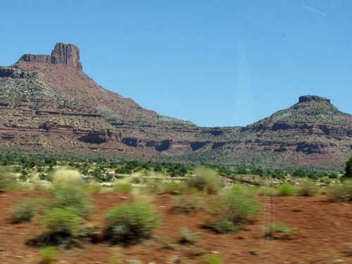
Jacobs Chair...
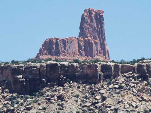
... has an elevation of 6,775 feet.
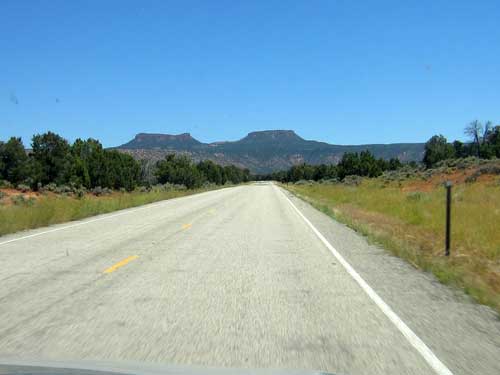
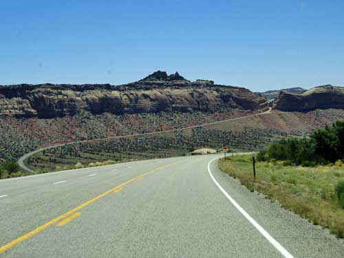
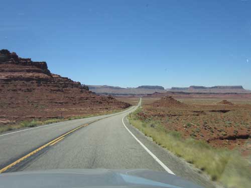
Yup, that's our road!
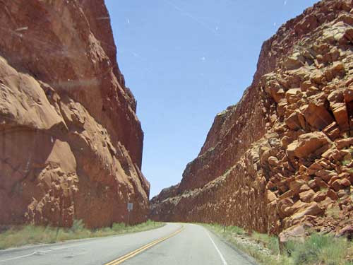
Slicing through a hill
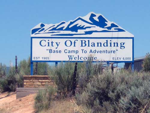
Kind of an ironic city name for such a slogan

At a local gas station
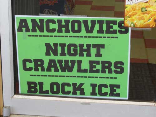
Everything one might need from a convenience store!
We took a lunch break at Pop's Burritos.
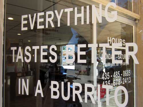
Remember this the next time you're making dinner!
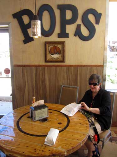
Joanne looks forward to her meal.
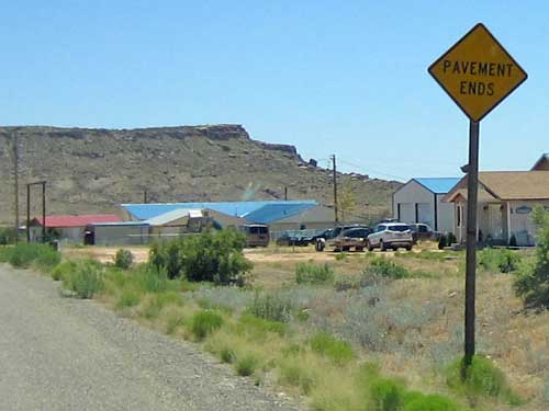
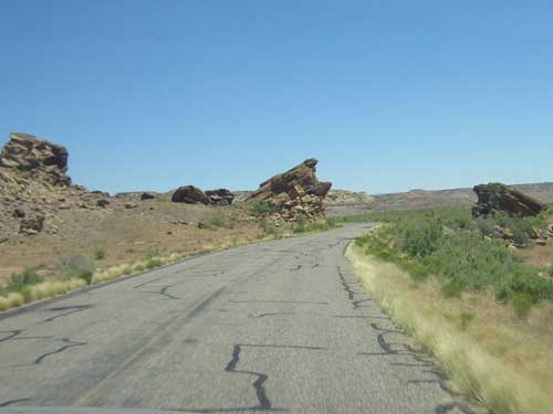
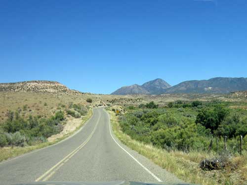
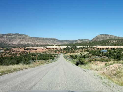
Normally I'd been over-riding the route the GPS wanted to take us, but for some reason I decided to allow it to take us the 'best way' to Mesa Verde. Instead of following the main roads, it took us on Highway 262 which led to tiny lanes (sometimes one-lane, sometimes even unpaved) that twisted through the Navajo Reservation.
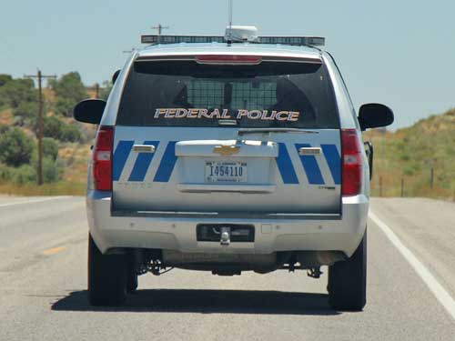
The Federal Protective Service (FPS) is the police for federal facilities and the US Department of Homeland Security. While mostly assigned to protect federal buildings, they often have such large areas to cover that they can be found on the road far away from... well... anywhere, in this case.
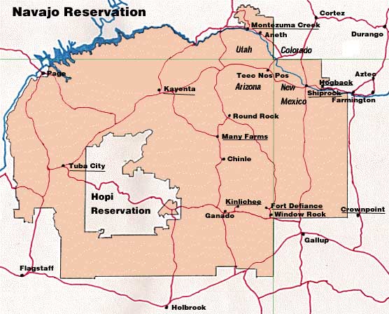
We were cutting across the tiny top corner of the largest reservation in the US, which covers over 27,000 square miles.
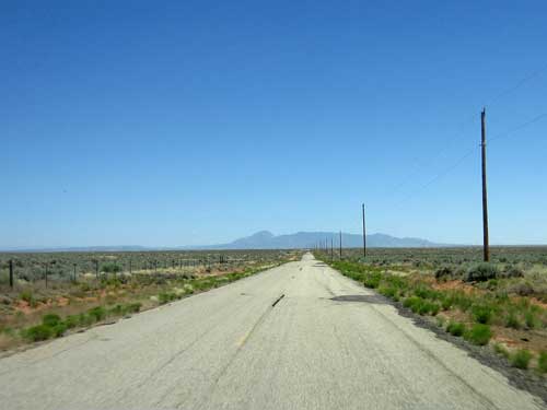
It was certainly quite remote!
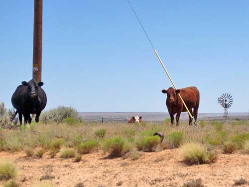
Even the cows looked at us as intruders.
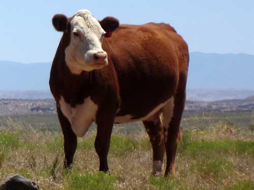
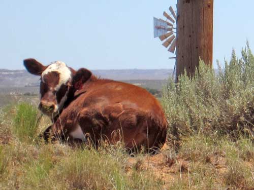
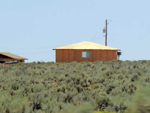
A hogan is a traditional Navaho sacred dwelling. It is built in harmony with the elements and blessed by a medicine man.
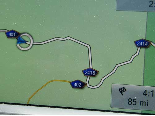
Hopefully it knows where it's going because I was certainly lost!
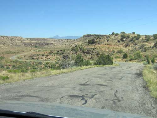
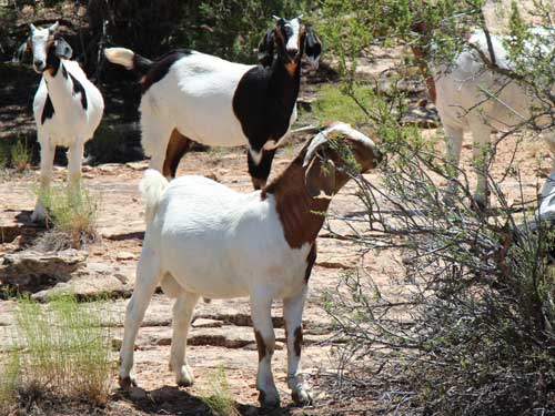
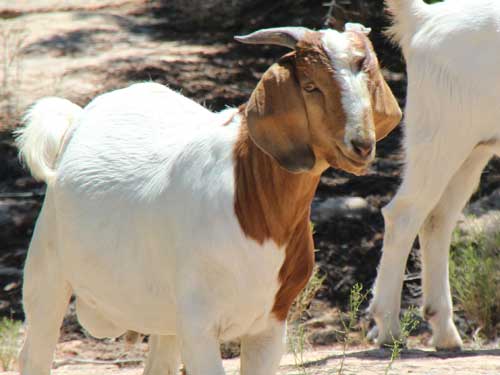
A small group of goats wandered and grazed aimlessly.
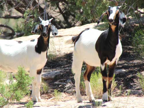
Curiosity
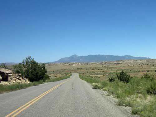
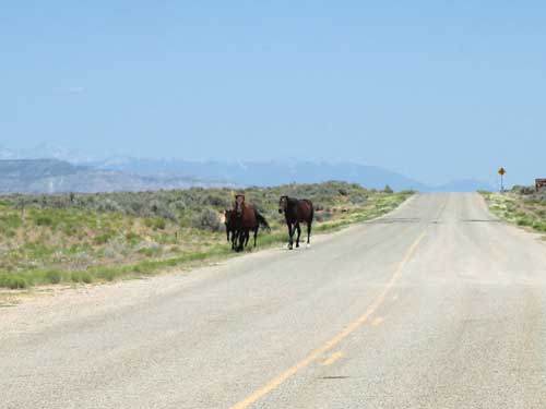
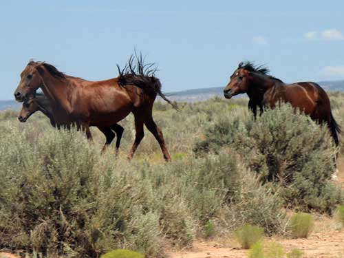
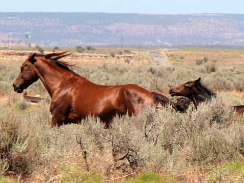
Some wild horses quickly moved off the road as we approached.
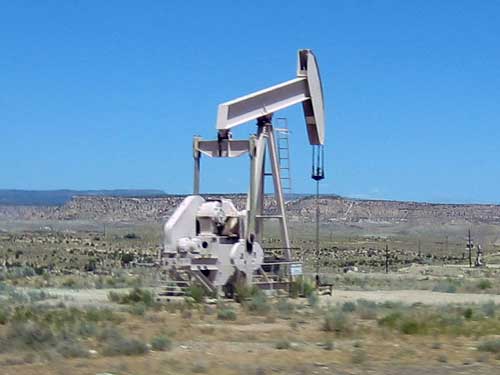
Pumpjacks scattered across the countryside methodically pulled oil up from the deep.
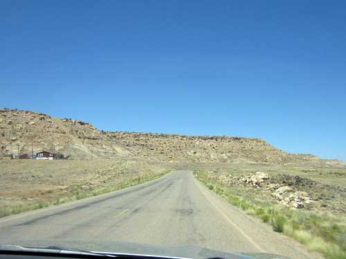
We crossed the Utah-Colorado border at a very obscure spot but eventually followed Country Road G back to civilization.
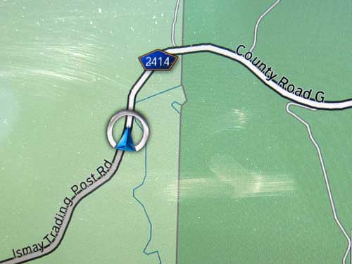
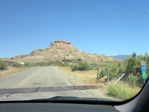
Woohoo! Here it is! Not even a welcome sign though.
return • continue

