CAPITOL REEF (Day 15 - part 3)
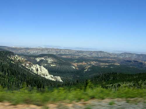
Making our way over Boulder Mountain...
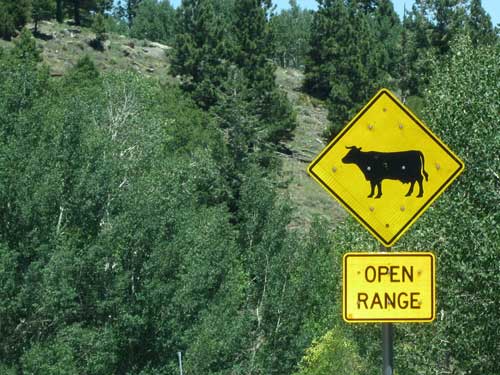
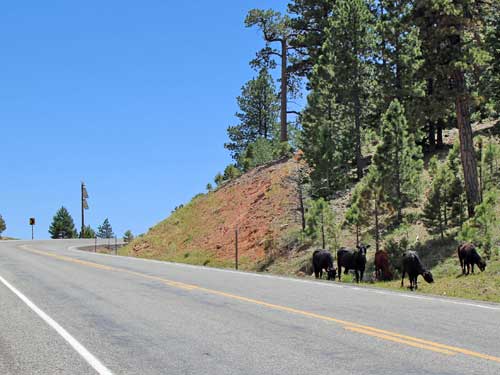
Cows graze by the side of the road...
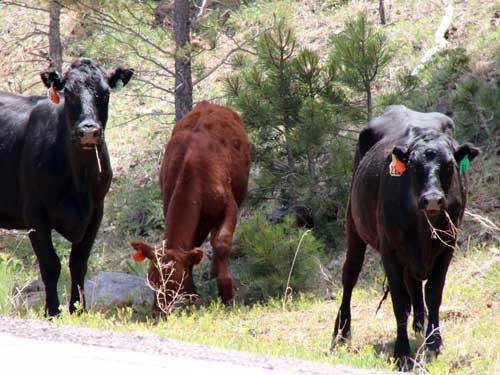
... and aren't very pleased with our presence!
We stopped at the Larb Hollow Overlook.
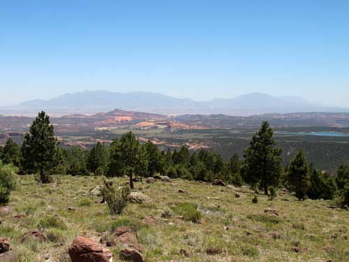
In the far distance are the Henry Mountains with Mt. Ellen on the far left.
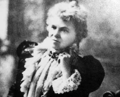
Ellen Thompson (wife of Almon H. Thompson and sister of John Wesley Powell) joined her husband on the second Powell expedition. She was a botanist and collected hundreds of plants, many of them perviously unknown. They charted Boulder Mountain, the rest of the Aquarius Plateau, the Henry Mountains and the Escalante River (the last mountain range and river to be mapped in the lower 48 states).
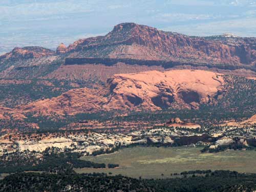
In the redrock landscape below, only 10 inches of rain falls per year. Up here on Boulder Mountain, rainfall is nearly double that... providing for a completely different landscape.
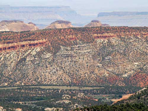
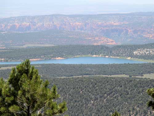
Lower Bowns Reservoir gathers the waters from Pleasant Creek as it tumbles down the mountain. The reservoir in turn irrigates land near Capitol Reef.
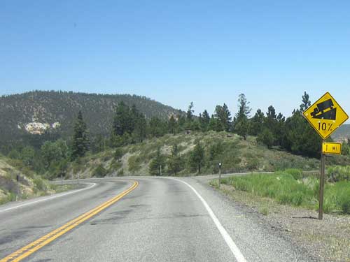
Descending the mountain
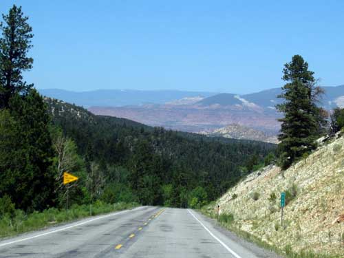
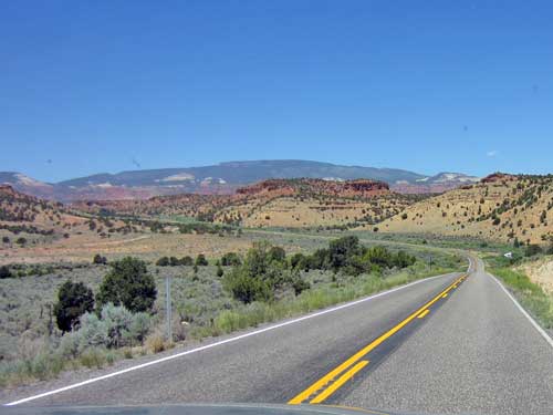
The scenery changes yet again.
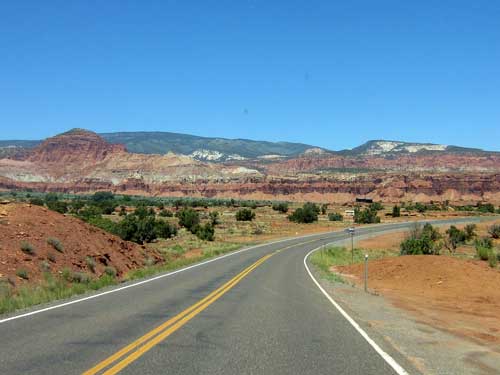
We arrived at the western side of Capitol Reef National Park. The area became a National Monument in 1937 although it wasn't actually opened to the public until 1950. Visitation increased dramatically after the paved State Route 24 was built in 1962, and in 1971, the area acheived National Park status.
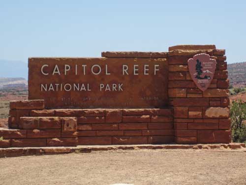
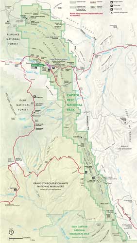
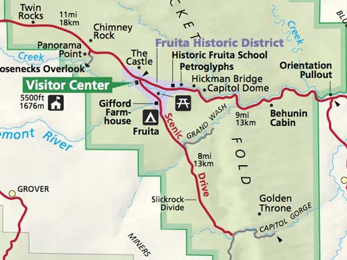
The park is 100 miles long but fairly narrow. Much of it isn't accessible by roads. (click for a larger view)
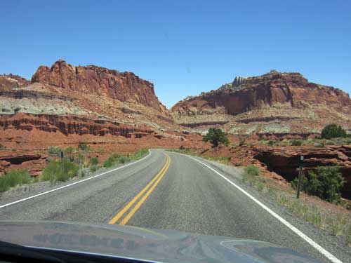
Heading in
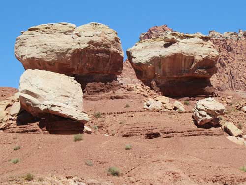
The feature known as Twin Rocks
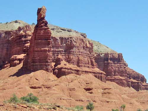
Chimney Rock
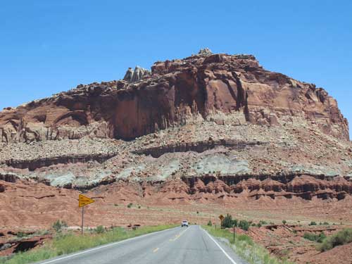
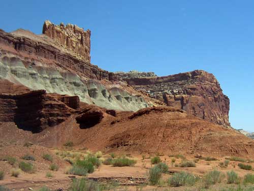
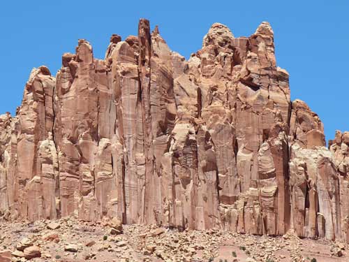
A side of the side of the Castle
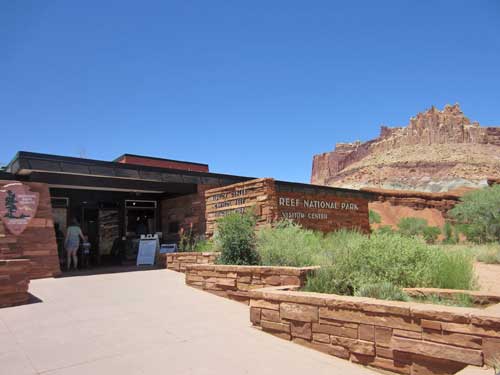
The other side of it can be seen from here, the Visitor Cener.
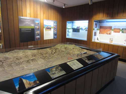
A relief map of the park
So why "Capitol Reef?"
The park protects a large Waterpocket Fold. Around 65 million years ago, the Colorado Plateau rose up but it didn't snap. Instead it simply warped and created a 'step-up' in the rock layers, not unlike a carpet draped over a stair step, with the rock layers on one side being higher than the other side (in this case, 7,000 feet higher). This fold formed a huge north-south barrier, especially for the early explores and settlers who were crossing the plains. They basically hit this and were stuck. Since many had had sailing experience, they called it a 'reef' which is often a barrier while sailing.
The other part of the park's name comes from a line of large white domes of Navajo Sandstone, which reminded them of the US capitol building.
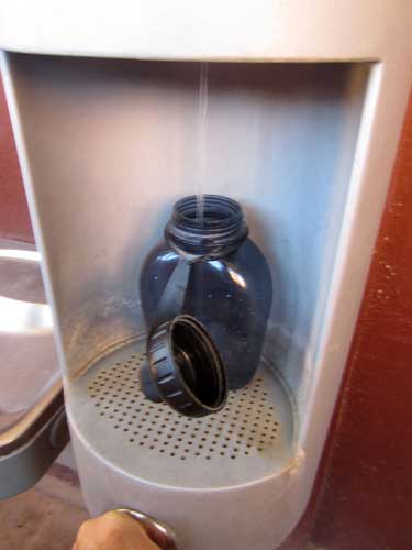
A convenient place to fill up
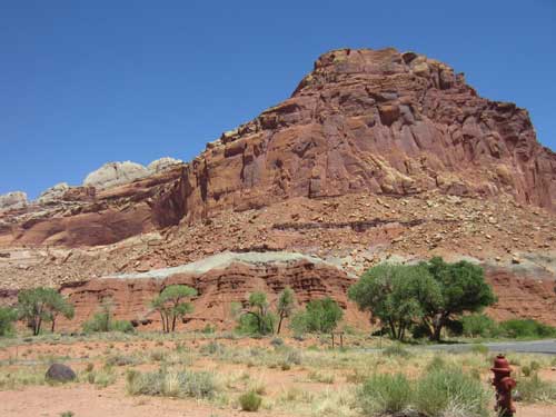
We decided to take the 8-mile scenic drive down to Capitol Gorge. This involved passing through Fruita and past the Gifford house.
Fruita was established in 1880 by a group of Mormons led by Nels Johnson. Originally named Junction, its name was changed around 1902 in recognition of its large orchards.
Fruita was isolated, so the early Mormon pioneers had to be quite self-sufficient. They had to dig their own irrigation systems to deliver water to the orchards; horse-drawn equipment was used to plow the fields and maintain roads (the first tractor didn't arrive until 1940); they grew their own produce and raised their own livestock; food was canned and dried and meat was smoked to sustain them through winter; food was stored in cellars (there was no electricity until 1948); equipment, clothing and housewares were often made by hand; and so forth. The work days were long and hard, and efficiency was essential.
Fruita reached its peak of development in the 1920's, with a population of 108. But an agricultural depression in Utah resulted in many farmers having to sell their lands. The town dwindled, with the last residents (the Giffords) selling their home to the National Park in 1969. The 200-acre rural historic district contains the orchards, the schoolhouse and the old Gifford house and barn.
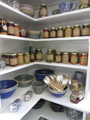
The Gifford farm was renovated and refurnished to its early 1900's state. The kitchen is now a store, selling reproductions of household items used by the early Mormon pioneers.
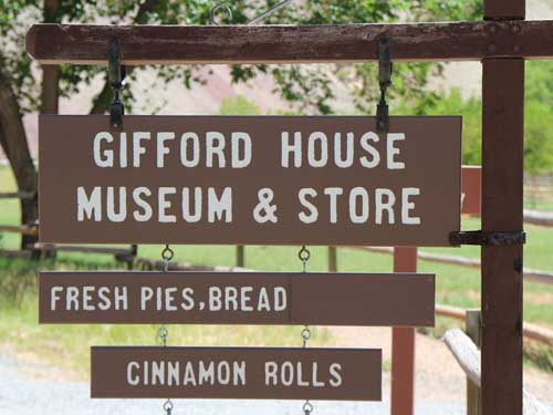
Does that say "fresh pies?" Yes, we must stop!
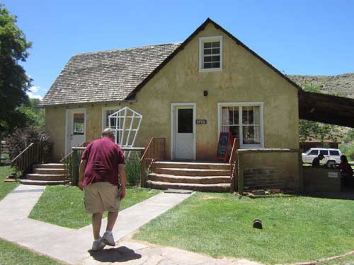
Bill makes a beeline for the pastries.
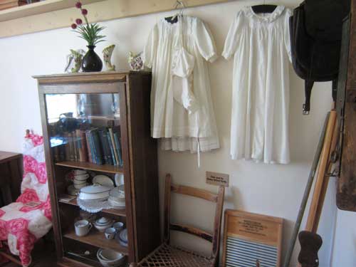
Items from the past
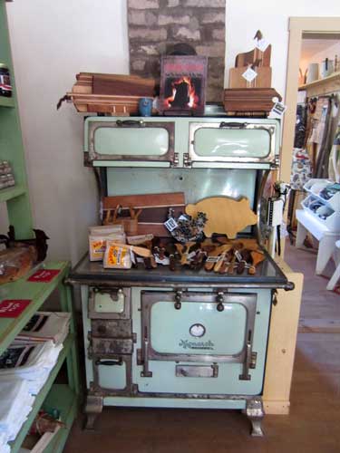
The Monarch stove was built by Malleable Iron Range Company, founded in St. Louis, Missouri, in 1896 by Silas McClure and A.C. Terrell.
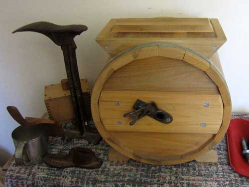
Equipment for making butter
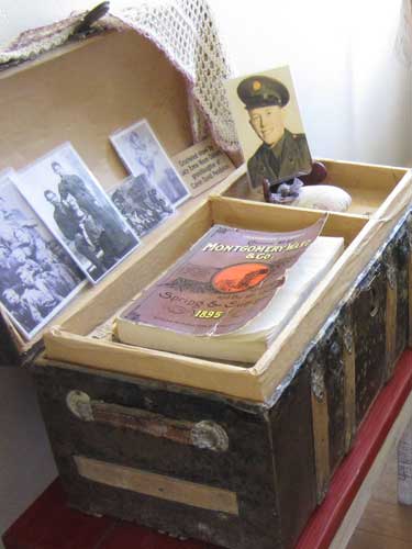
An 1895 Montgomery Ward mail order catalog, not unlike the one we saw in the Red Canyon Visitor Center.
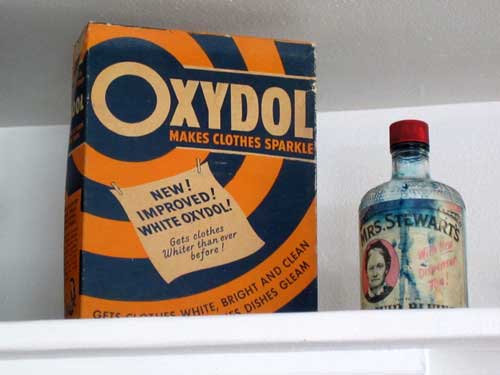
Ok, I get the slogan "Make Clothes Sparkle" but...
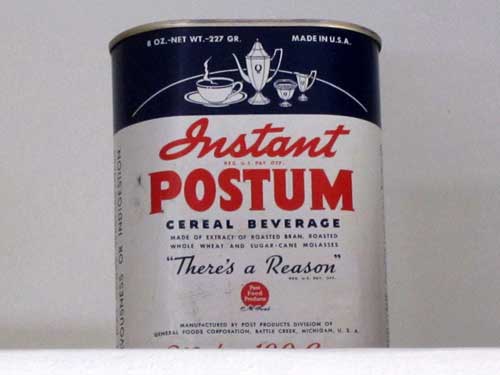
..."There's a Reason" seems a bit odd. Postum was a caffeine-free beverage created in 1895 by the Postum Cereal Company, founded by C. W. Post. Post was a student of John Harvey Kellogg, who believed that caffeine was unhealthy. Made from roasted wheat bran, wheat and molasses, the beverage was marketed as a healthy alternative to coffee... even though it really didn't taste much like coffee. It became hugely popular during World War II when coffee was rationed and also with the Mormons due to their dietary restrictions. The odd slogan is somehow meant to warn against coffee and caffeine's alleged dangers. The 'instant' version appeared in 1912. The company eventually became General Foods, which was bought by Kraft Foods.

Mrs. Child was a passionate writer about current issues of the time... anti-slavery (without the use of violence), women's equality, Native American rights and anti American expansionism. She wrote fiction as well as domestic instruction manuals, such as "The Mother's Book" on child rearing and "The American Frugal Housewife: Dedicated to those who are not ashamed of Economy", a book of kitchen, economy and directions. In spite of all this, she is best known for her poem Over the river and through the wood, to grandmother's house we go (although it was originally written as grandfather's house).
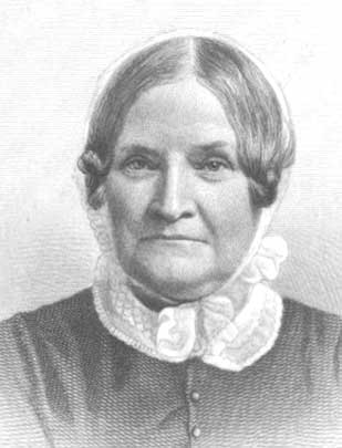
Lydia Maria Francis Child (1802 - 1880)
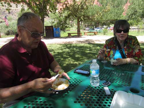
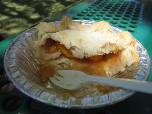
Reaping the rewards of peach pie...
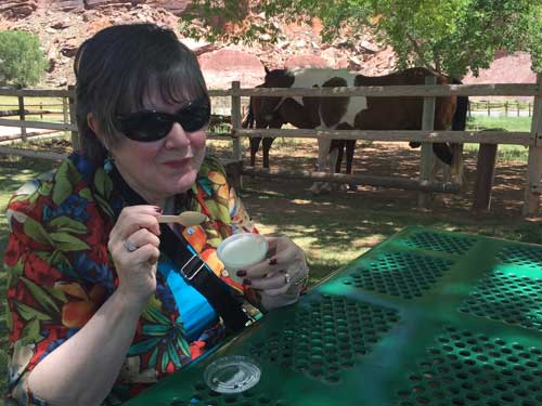
... and ice-cream!
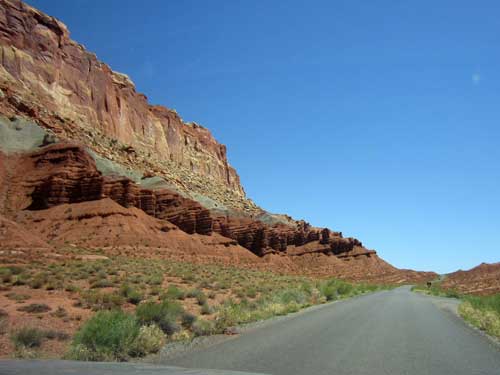
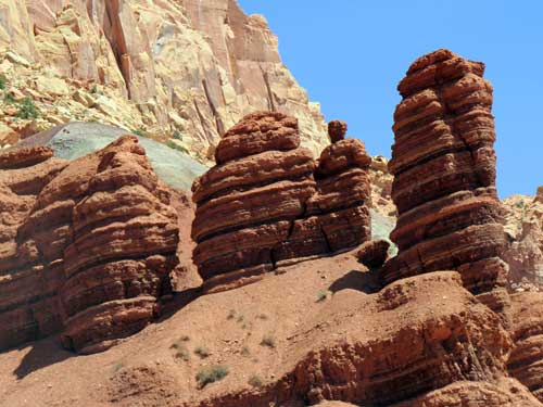
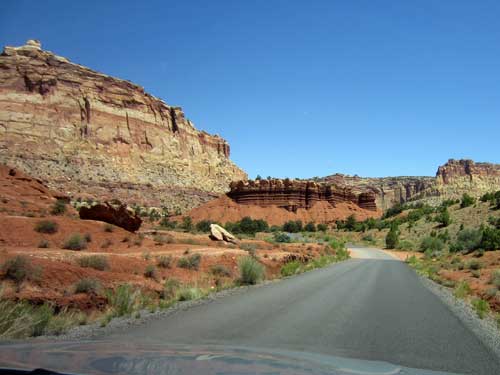
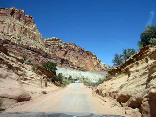
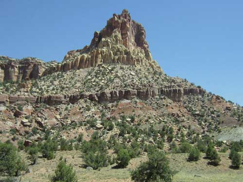
We then began the beautiful drive down to Capitol Gorge.
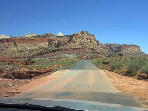
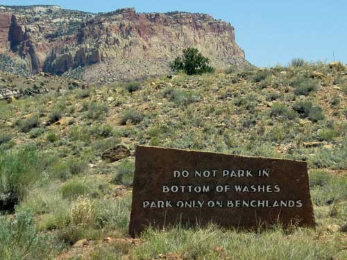
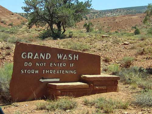
Flash floods are a serious concern out here.
return • continue

