CAPITOL REEF (Day 15 - part 4)
After the 8 miles of paved road, we bumped along 2.4 miles of dirt road to get to the trailhead.
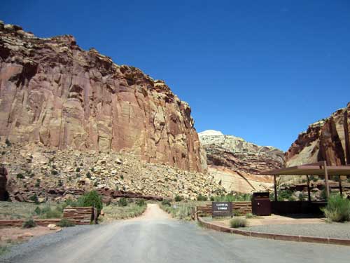
Leaving the pavement
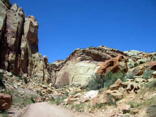
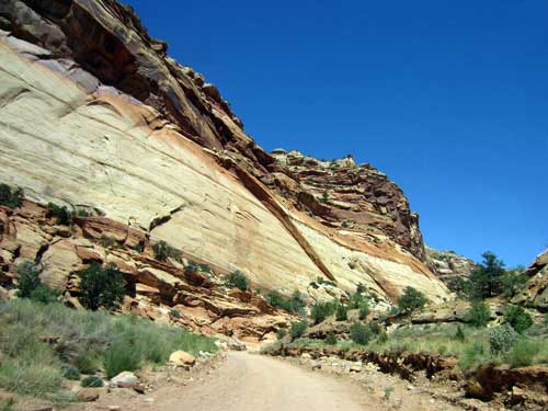
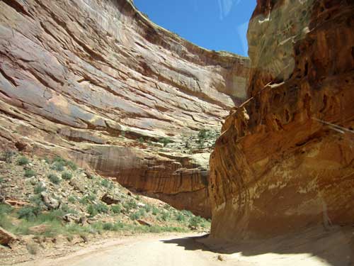
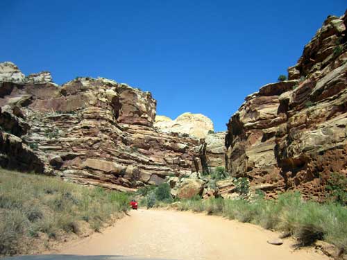
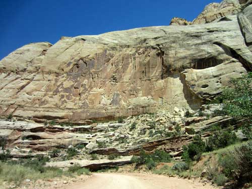
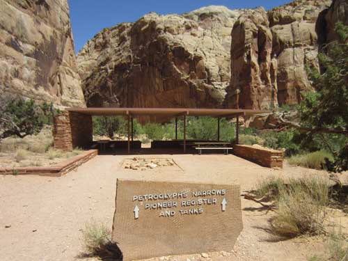
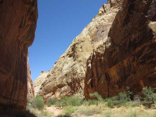
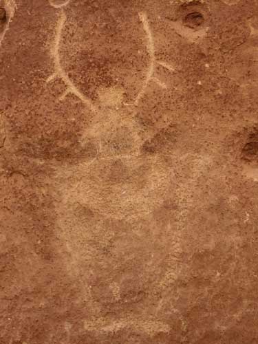
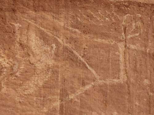
Bill and Joanne waited in the car while I set out to do the relatively short hike. This historic pioneer road through Capitol Gorge follows a dry streambed, complete with prehistoric petroglyphs, a Pioneer Register (super old graffiti) and the remains of old telephone lines that served early settlers to the east.

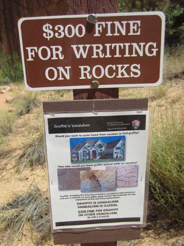
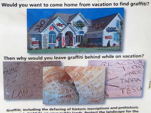
A cute way to make a serious point
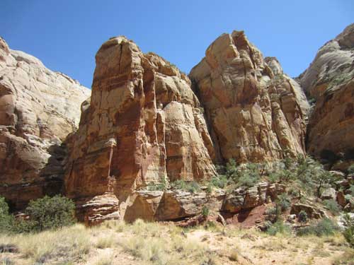
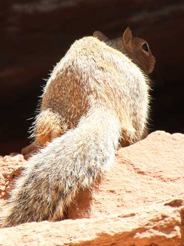
Rock squirrels are one of the largest members of the squirrel family, growing to nearly a foot in length (not including their tails). They live in arid canyons and rocky cliffs but will also make do with lumber piles and junk cars.
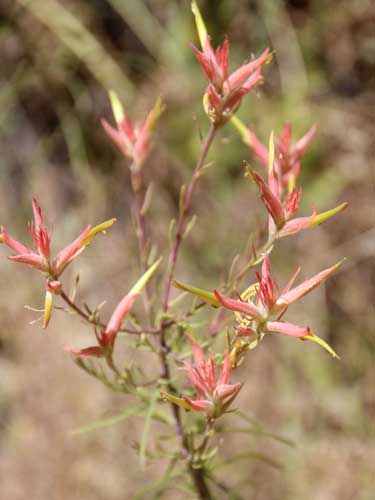
Indian Paintbrush can be found from high alpine areas down to the driest deserts. They are often partly parasitic on the roots of other plants, making it near to impossible to grow them in a home garden that does not have the needed host plants.
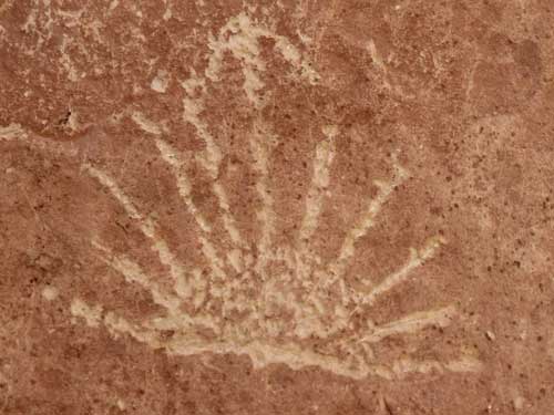
A small panel of faded petroglyphs
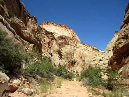
Following the riverbed
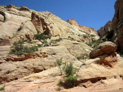
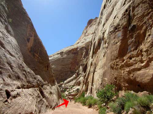
A person for scale
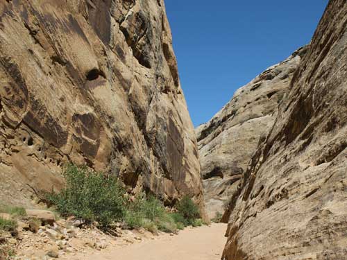
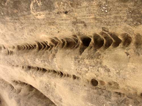
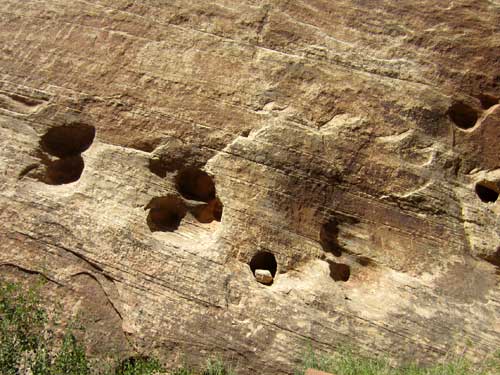
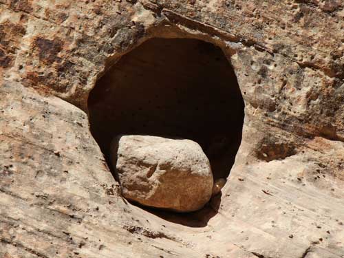
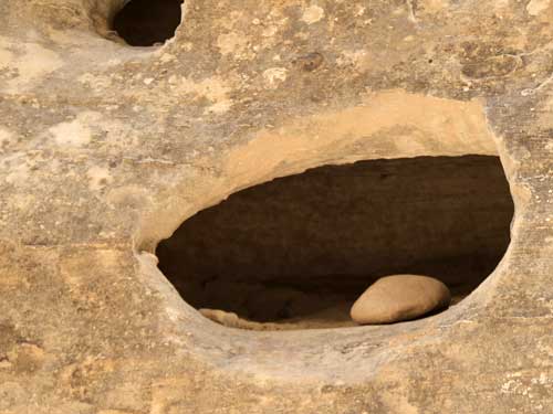
So how do holes like these form?...
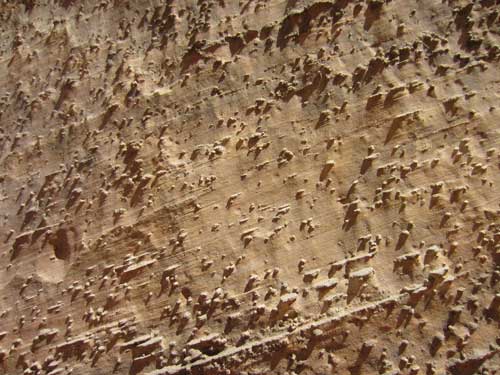
... They start out like this!
Concretions are hard bodies that form in sediments before they become sedimentary rocks. They consists of the same material as the rock around them, plus some kind of cementing mineral. This cement often makes them harder and more resistant to weathering than the host rock. They can come in any shape and any size (from gravel to as large as a truck weighing several thousand pounds).
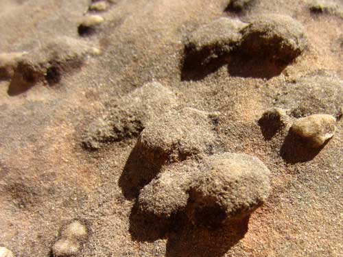
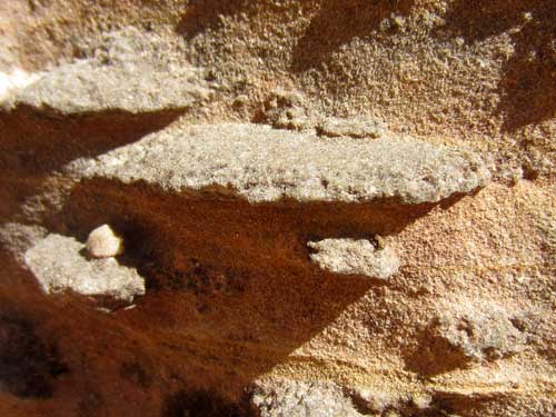
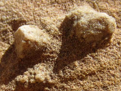
Eventually these concretions fall out of the rock, leaving a small hole. The small hole eventually becomes a larger hole over time, carved out by water and also by other rocks that get trapped in them, grinding them larger and larger with each passing flash flood.
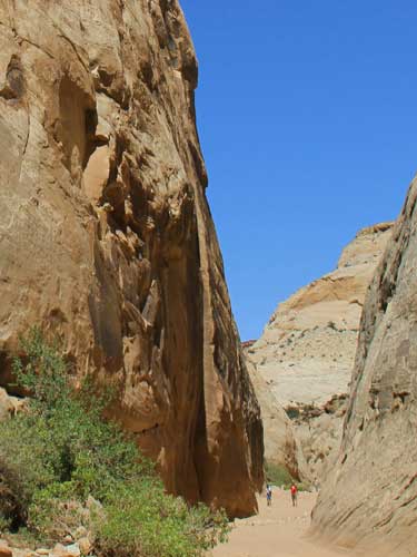
This cliff face is the Pioneer Register...

... zoomed out here for scale.
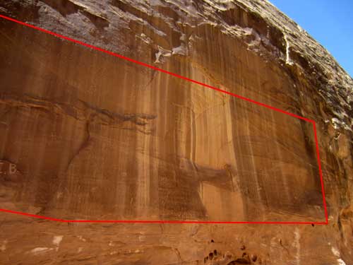
The register spanned several hundred feet and reached up to 20 feet high. It's covered with hundreds of old signatures from the late 1800's to the early 1900's. Yes, it's basically graffiti that the sign at the beginning of the trail told us we were not allowed to do. It's cool when it's 100 years old but sucks when it's last year. When's the cut-off? Probably when we started protecting pockets of nature to maintain their pristine beauty.
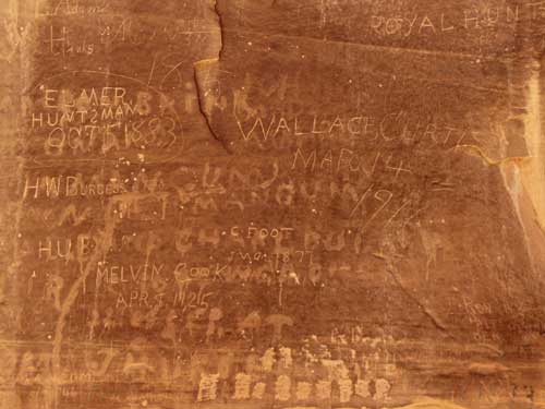
The earliest inscriptions are from 1871 and were carved by two prospectors on their way to the Colorado River in search of gold.
Fruita was established in 1880, and in 1883 this gorge was cleared out to create a new wagon road. Of course they had to return to remove heavy debris after every flash flood.
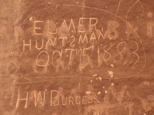
1883
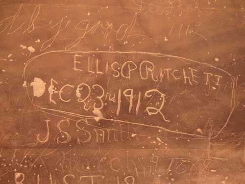
1912 and 1888
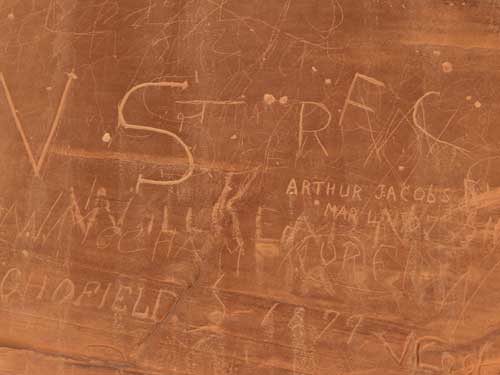
1897
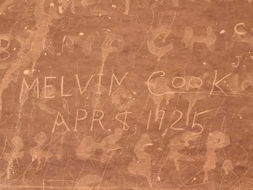
1925
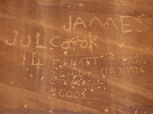
I wonder if the M. Cook listed here for the 1914 group is the same Melvin Cook of 1925 in the above photo. And if he's related to James...
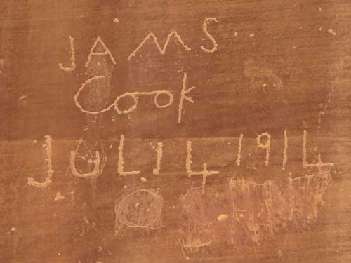
... who apparently wrote his name twice (or tried to).
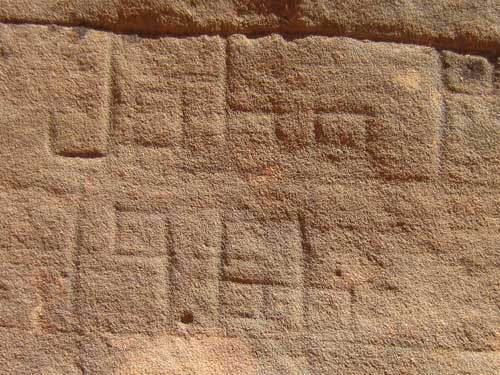
Is 1966 still considered historic or bordering on graffiti?
return • continue

