CAPITOL REEF (Day 15 - part 2)
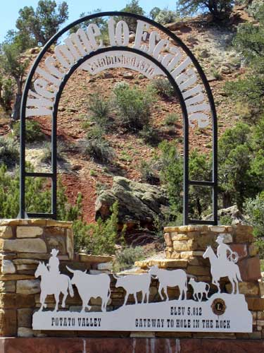
The area takes its name from Father Silvestre Velez de Escalante (1750 - 1780). Born in Spain, he joined the Franciscan Order and traveled to Mexico when he was 17 years old. Together wih Father Francisco Atanasio Dominguez, he led an expedition to find a route from Santa Fe, New Mexico to Monterey, California. In 1776, they arrived in Utah, making them the first white men to see the area. Due to hardships, they didn't reach California, but their route became part of the Old Spanish Trail.
Father Dominguez was born in Mexico City about 1740. He joined the Franciscan Order at the age of 17. He died sometime between 1803 and 1805.
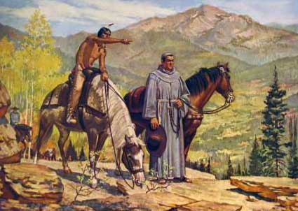
Seeking new routes
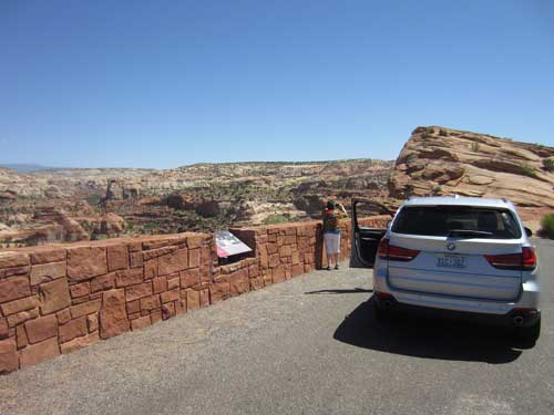
We stopped at Head of the Rocks Overlook, about halfway between the towns of Escalante and Boulder.
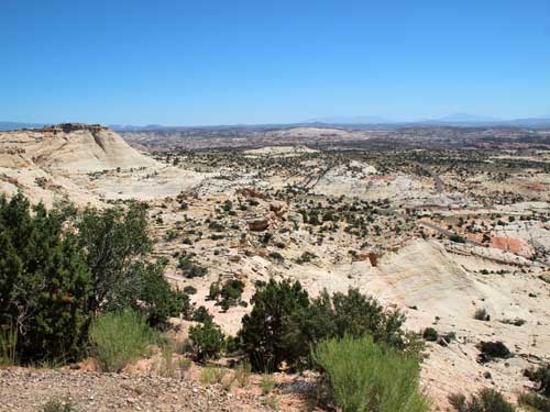
Overlooking the 1.9-million-acre Grand Staircase-Escalante National Monument
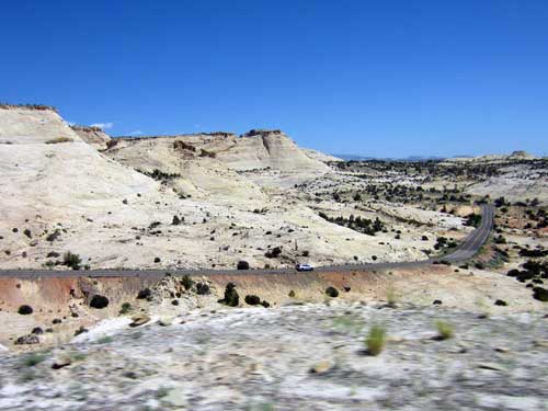
The landscape stretches all the way from the Aquarius Plateau towards the north (left) to the Utah-Arizona border to the south (right). It is filled with a maze of deep, winding canyons that form the Escalante River basin.
"No animal without wings could cross the deep gulches in the sandstone basin at our feet."
- Almon H. Thompson, second Powell expedition, 1872
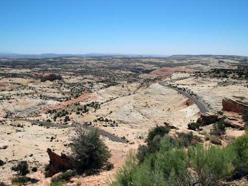
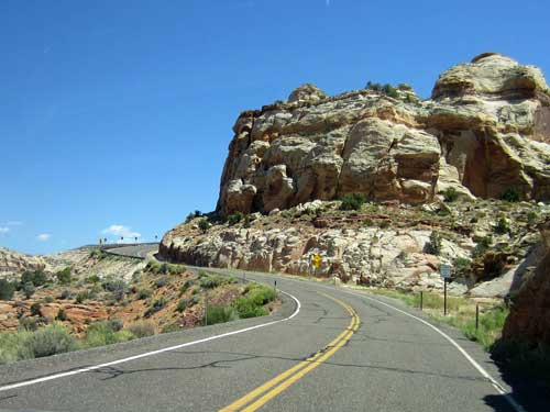
Highway 12 snakes its way across the rough terrain.
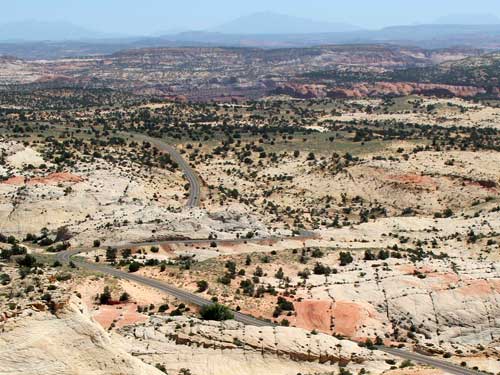
Before the highway was built, traveling through this region was slow, hard work. As late as 1940, Boulder still received its mail by mule train for part of the year. The original road between Escalante and Boulder (known as Hell's Backbone Road, completed in 1933) would close every winter due to snow. Wagon trails through these canyons were the only way in then.
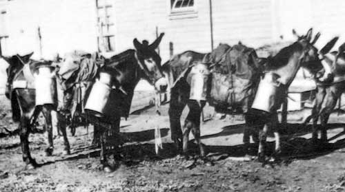
Between 1924 and 1940, this section was known as the Cream Cellar Route. Three times a week, Boulder farmers shipped up to 50 five-gallon pals of cream to the Bryce Valley creamery via the postal service mule train. Sometimes in summer, pails of cream fermented en route... blasting off their lids and coating the mail bags with soured cream.
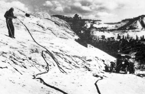
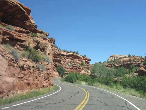
This section of the highway, called Lower Boulder Road, was started in 1935 by the Civilian Conservation Corp. Nicknamed the Million Dollar Road, it took five years to complete. It involved backbreaking effort, ingenuity and many tons of dynamite to blast through sandstone ledges down cliffs.
Driving on...
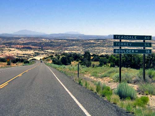
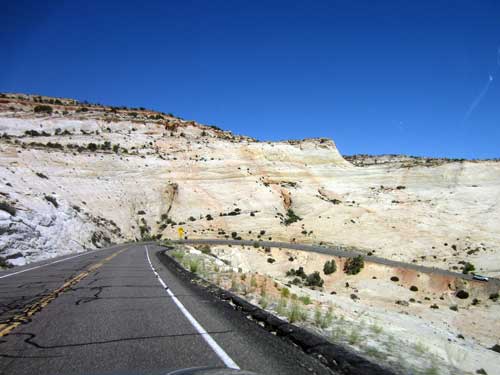
Looking up at where we were just standing
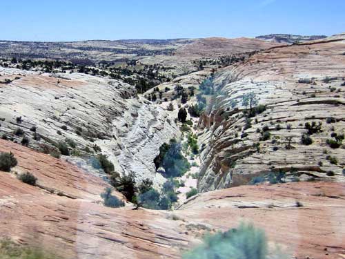
One of the many steep, impassible canyons that fill the area
About 3 miles down the road was another overlook, with views of the Escalante River.
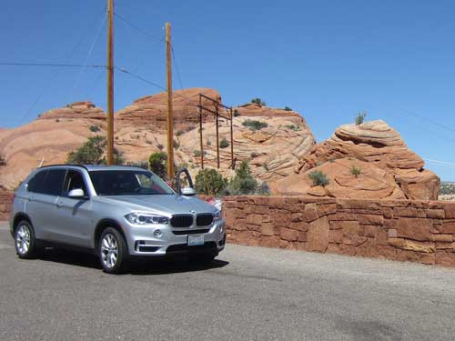
Fantastic rock formations
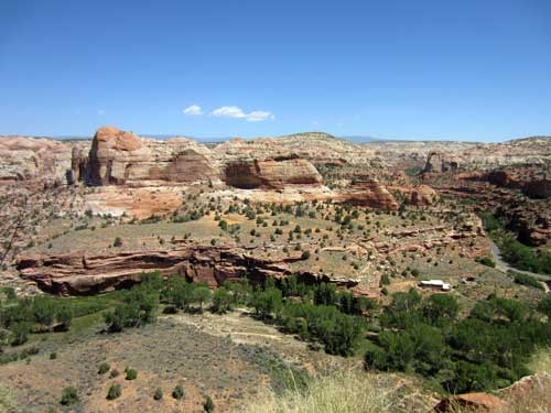
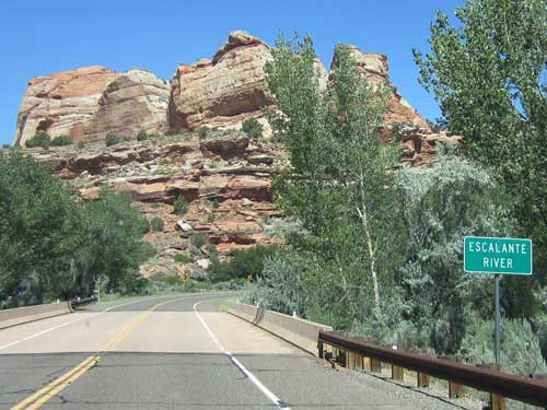
The Escalante River is a narrow vein of life in this otherwise arid desert. It begins in the Aquarius Plateau and winds its way down to the Colorado River, 70 miles from here.
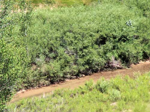
The river far below
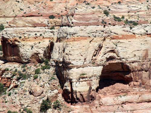
Great shapes and colors
Half a mile further, at the Kiva Koffeehouse overlook, we could look down the other side of the valley.
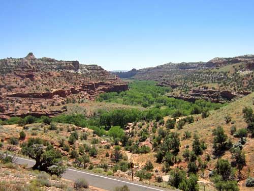
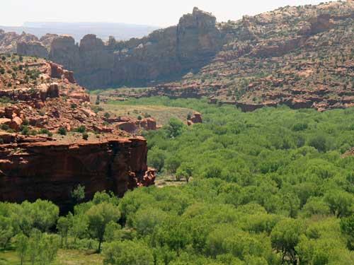
Enormous Freemont Cottonwood trees anchor the riverbank soil in place.
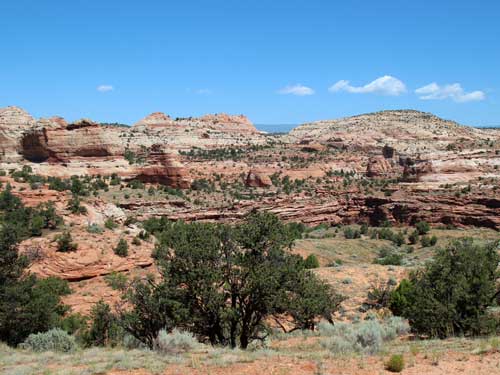
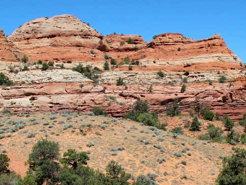
We crossed the river then headed up along Calf Creek, which eventually opened up into an enormous canyon as well.
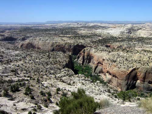
A stop at the Calf Creek Viewpoint
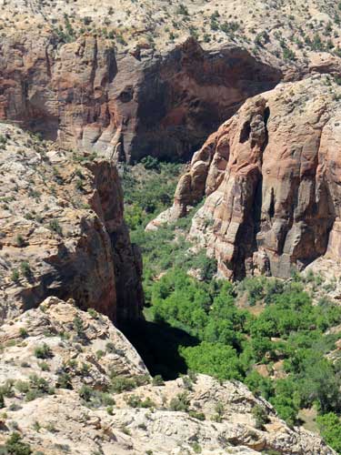
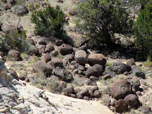
Large volcanic boulders litter the hillside.
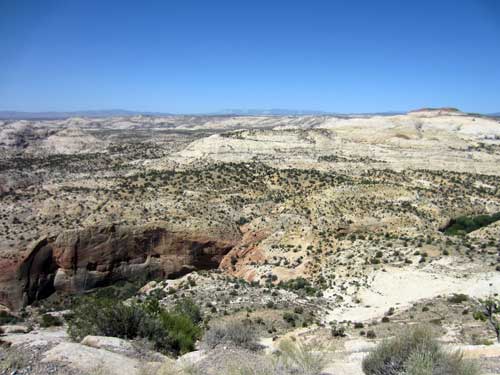
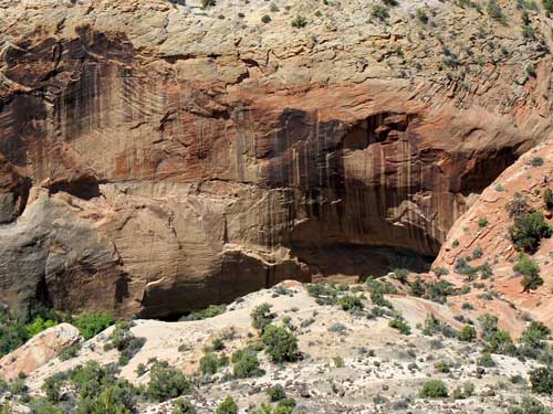
Lower Calf Creek Falls sits hidden at the end of this canyon (right).
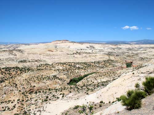
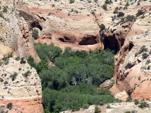
The end of another side canyon
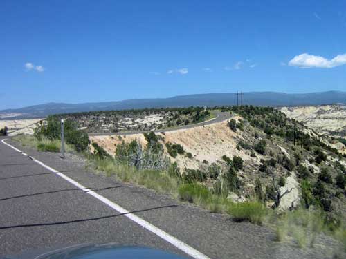
The road continued along a narrow ridge.
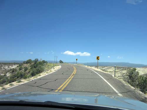
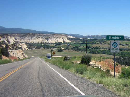
Boulder, Utah... settled circa 1890; current population around 225
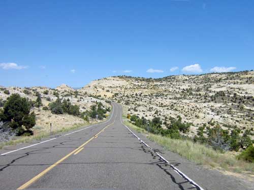
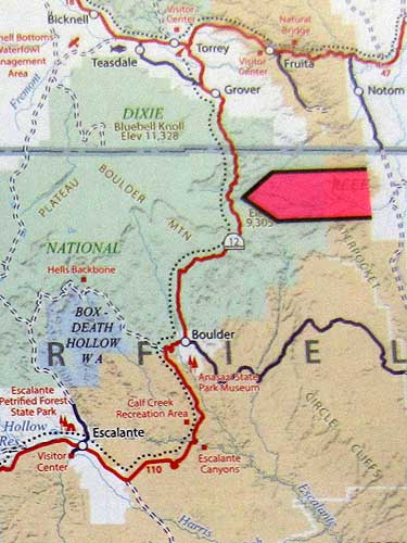
The next 30 miles would take us over Boulder Mountain along the Aquarius Plateau. We would go from baren expanses of rock to thickly forested hills.
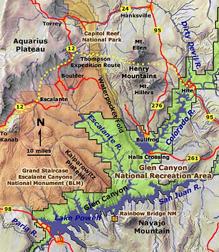
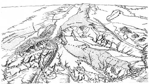
A map filled with names we were now familiar with... Hatch, Paunsaugunt Plateau, Bryce Canyon, Escalante, Aquarius Plateau (click for a larger view)
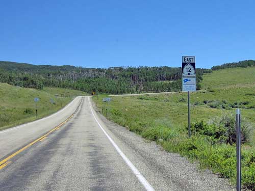
Entering a new scenery
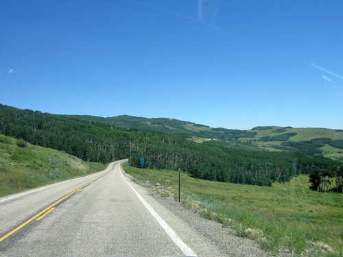
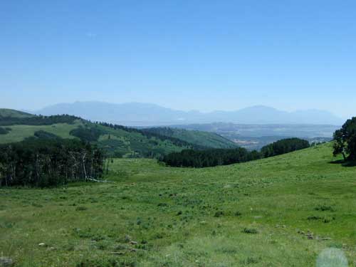

The temperature changed as well!
We pulled off at the Wildcat Information Center, located at 8,650 feet and run by Chuck and Patty Ostner. They were both extremely friendly and gave us some freshly baked oatmeal raisin cookies.
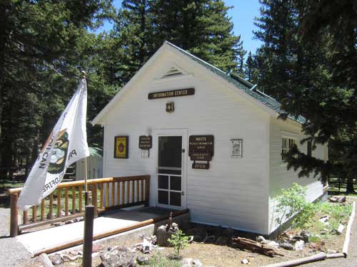
The station was constructed in 1935 by the Civilian Conservation Corp.

These delicious cookies...

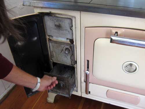
... were actually baked in this old stove!
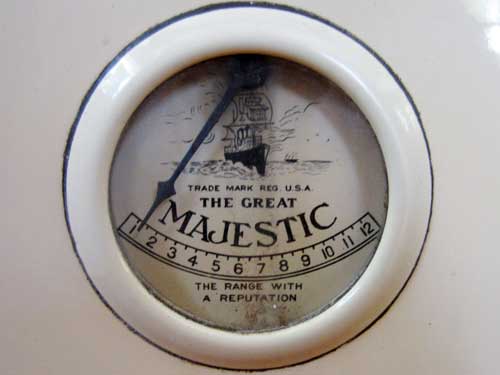
Lucius Llewellyn Culver founded the Majestic Manufacturing Company in St. Louis in the 1890’s. Eventually sold in 1948, the company was famous for its extensive line of commercial and home cooking stoves.
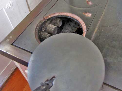
A glimpse inside
Apparently there are three types of hummingbirds that frequent the area: broad-tailed (green with a pink throat), rufous (orange) and black-chinned (black head with a purple throat).
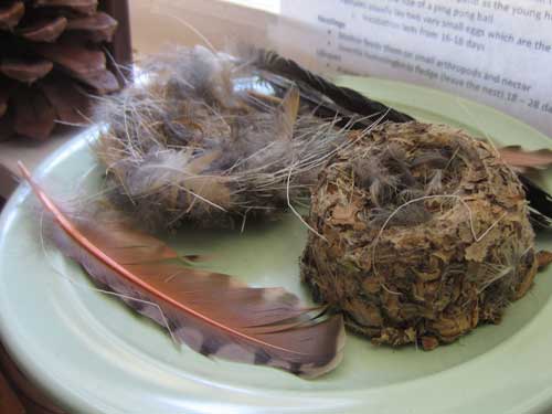
Hummingbird nests. An egg is about the size of a jelly bean.
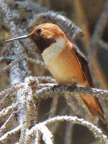
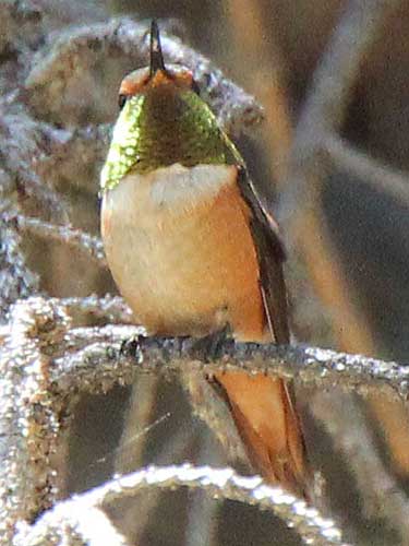
A male rufous protects his territory. These small birds are extremely aggressive. Depending on how the light hits him, his throat can look black, green or a vibrant red.
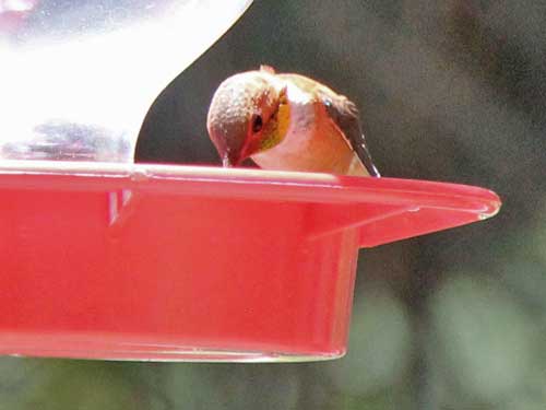
Weighing less than a nickel, they need to consume more than their own body weight in nectar each day. They are able to slow their metabolism at night (or any time food is not readily available), entering a hibernation-like state called torpor. Their heart rate slows from 250 beats per minute (resting; during flight its 1,200) down to 50 to 180 beats per minute. If they didn't have this ability, they would starve to death before morning.
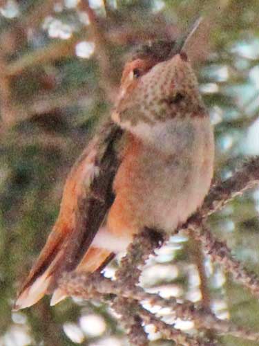
A female rufous sits hidden in the trees.
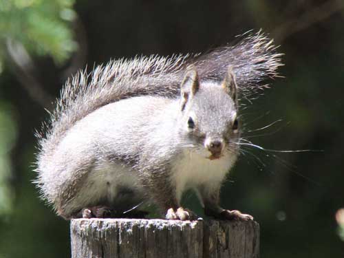
Getting glared at by a Chickaree (also known as a Pine or Red Squirrel). They live off the seeds of conifer cones.
return • continue

