CAPITOL REEF (Day 15 - part 1)
We grabbed some breakfast at the nearby diner. The 1950's decor was fun; the waiter was incredibly friendly, and the food was great!
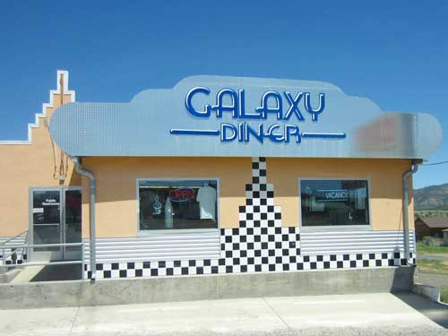

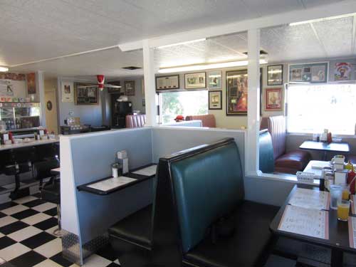
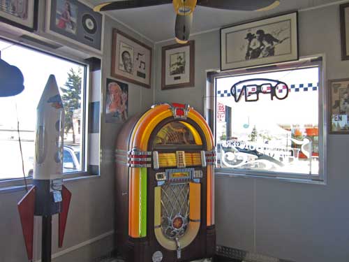
The jukebox in the corner...
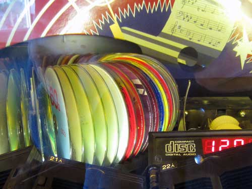
... played CD's instead of records.
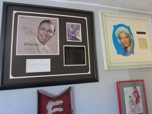
The walls were covered with over 300 signed photos. Apparently the owner picks them up for cheap at various estate sales (basically when people die and their relatives sell everything off).

Good to know!
We hopped back on Highway 12, passing by Red Canyon and Bryce again. We continued along the road as it veered northwest, toward the town of Escalante.
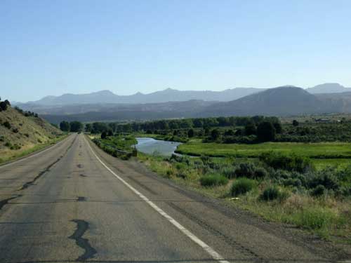
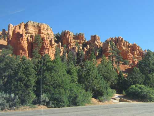
Red Canyon again
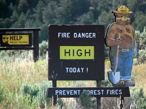
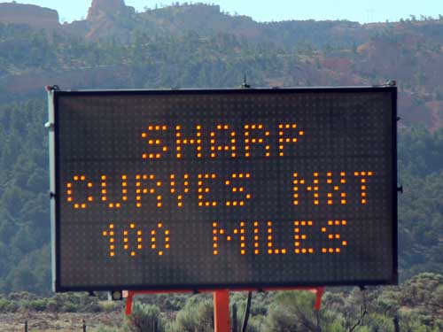
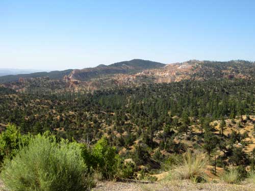
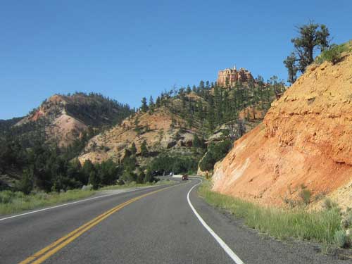
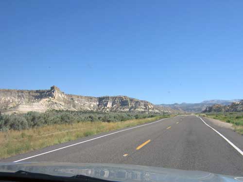
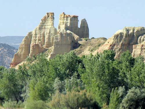
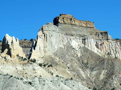
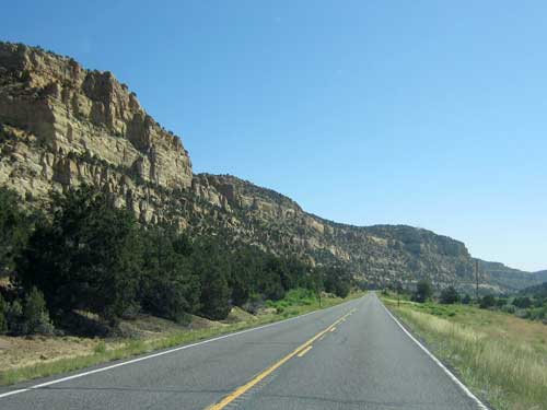
We stopped briefly at the Upper Blues Overlook. “The Blues” are grey-green shales deposited some 80 million years ago when the area was covered by an inland sea. Known as the Kaiparowits Formation, these sedimentary rocks are rich with dinosaur fossils, providing perhaps the best and most continuous record of Late Cretaceous terrestrial life in the world.
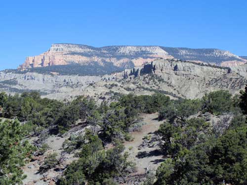
A view of the Blues and Powell Point (elevation 10,188 feet)
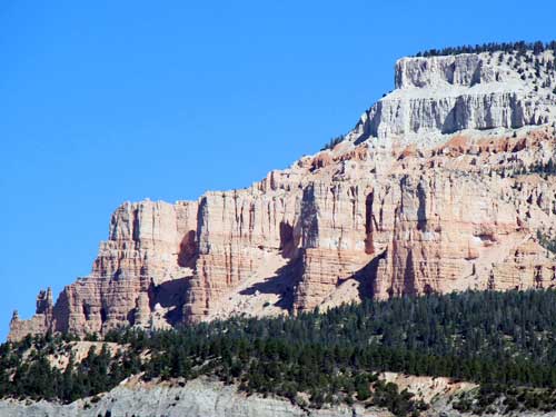
These are the same pink cliffs that form Bryce Canyon.
This region is also famed for being the last unmapped frontier in the continental US. In 1871, an expedition led by Major John Wesley Powell began to explore the area. His brother-in-law, Almon H. Thompson, continued the quest. In 1872, he climbed Powell Point and then spent the next 4 years filling in the blank spots.
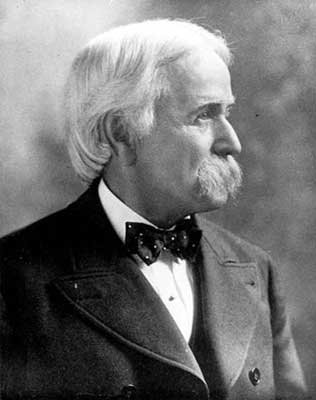
Almon Harris Thompson (1839 - 1906)
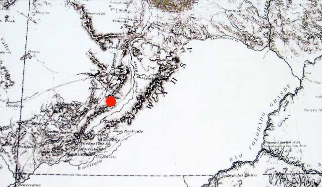
A 1868 map still shows a large blank spot. The red dot marks the city of Parowan (founded in 1851).
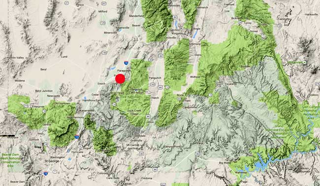
The same region on today's map. Notice the addition of Lake Powell (lower right corner), which was formed by the completion of Glen Canyon Dam in 1963.
Just before the town of Escalante, we saw a sign for Escalante Petrified Forest State Park. We decided to swing in. Normally the entry fee was $8, but since we weren't going to do any of the hikes in the area, the woman only charged us half.
The park was established in 1963. Additional land was purchased in 1972 to include part of the shoreline along the Wide Hollow Reservoir, which was formed in 1954.
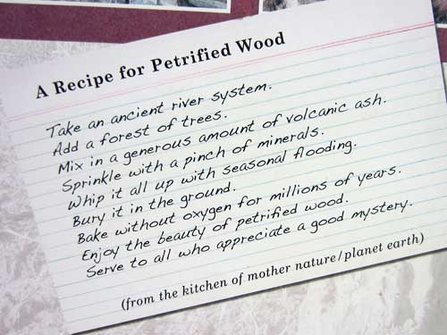
About 150 million years ago (during the late Jurassic), this area was the sandy shore of a shallow sea located much closer to the equator. The land to the west rose, draining the sea and sending down rushing rivers which swept away enormous trees. These were then buried under layers of silt and mud and cut off from oxygen (hence preventing their decay). Volcanic ash saturated the earth and soaked into the buried trees. For the next several million years, these layers compressed into rock, forming the Morrison Formation. Minerals gradually replaced the organic structure of the trees, creating fossilized wood. This ancient forest remained hidden for until it was revealed by wind, water.
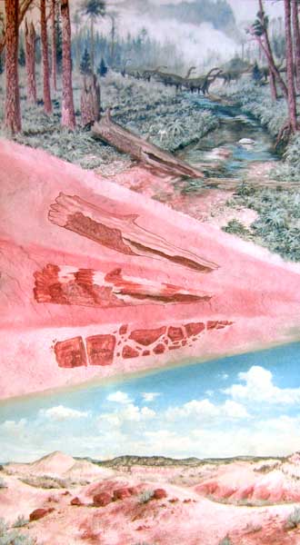
How a tree becomes petrified wood (click for a larger version)
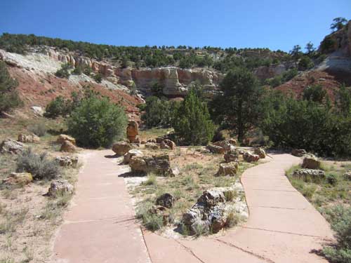
The short Petrified Wood Cove loop. The white sandstone on the ridge in the background is the old shoreline deposits.
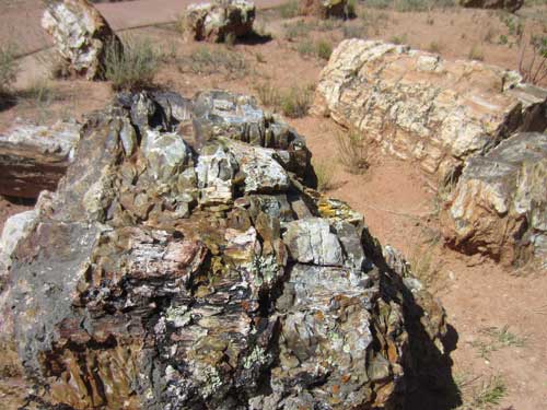
The trees were most likely conifers, but they weren't preserved enough to be able to identify the species for certain.
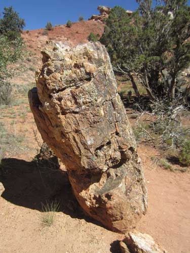
Petrified wood averages 150 pounds per cubic foot. In comparison, a cubic foot of Ponderosa Pine only weights 45 pounds.
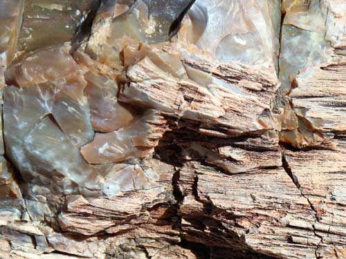
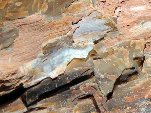
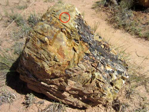
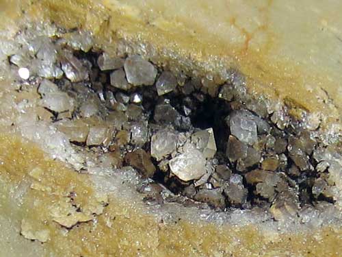
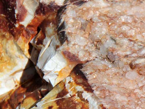
These samples may be small but they contain many crystals.
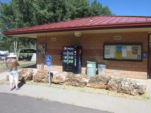
Joanne admires a 40-foot long petrified log.
The visitor center contained a small museum, filled with info and samples of petrified wood and dinosaur evidence. There were also many letters on display from people who had taken pieces of petrified wood and then had so much bad luck that they actually returned them!
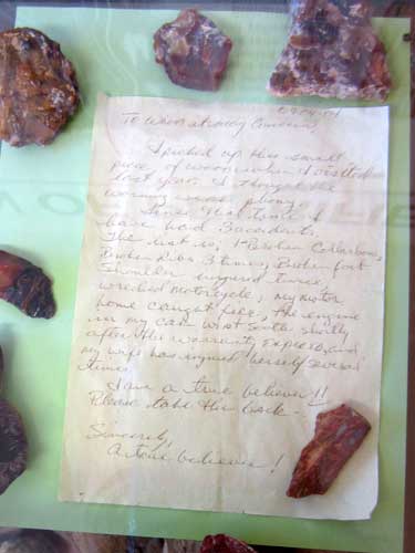
In the space of one year after taking some pieces, this guy apparently had a motorcycle accident, his house caught on fire, his car engine died just after the warranty expired, he broke a collar bone, 3 ribs and his foot, his shoulder was injured twice and his wife even got hurt a few times!
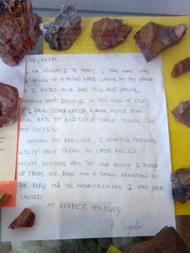
Along with some bad luck, this person felt so guilty they returned the pieces along with a financial donation to the park.
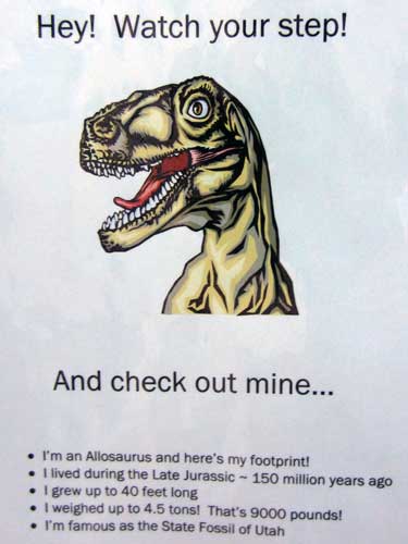
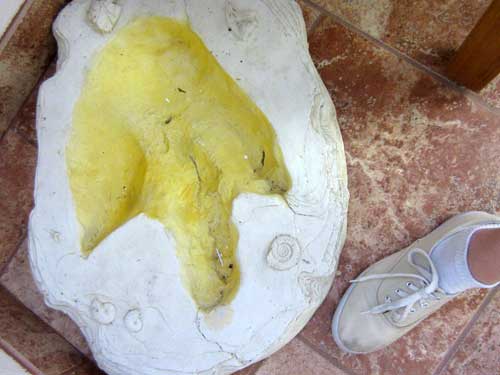
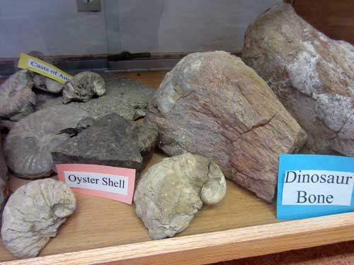

Like some bird species today, dinosaurs used to swallow stones in order to help them grind food since they lacked suitable grinding teeth.
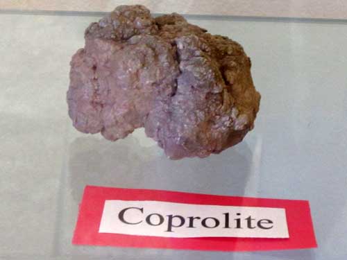
This is a nice word for... um... fossilized poop. It comes from the Greek words meaning “dung stone."
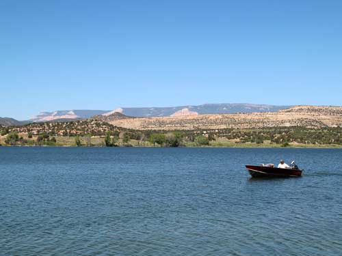
Right next to the park was the edge of the reservoir.
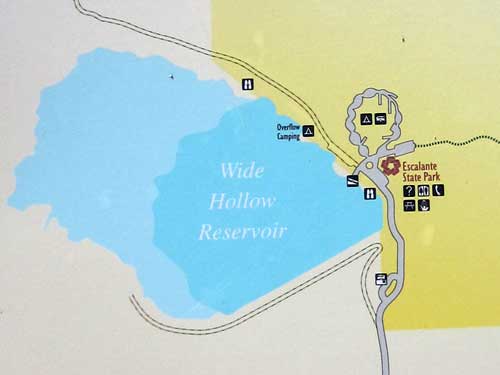
Wide Hollow Reservoir covers 145 acres with a maximum depth (at capacity) of 30 feet. It's available for boating, swimming, fishing, waterskiing and wildlife watching. It's also used for agricultural purposes, causing the water levels to fluctuate.
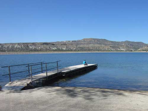
Serene views
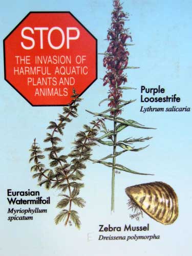
We've already learned about similar problems with Lake Mead.
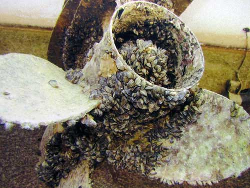
Apparently this is one of the reasons why you need to clean your boat really well!
return • continue

