ZION & BRYCE (Day 14 - part 3)
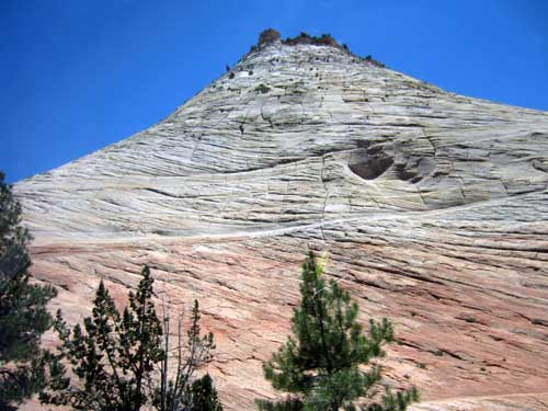
Checkerboard Mesa was a prominent feature.
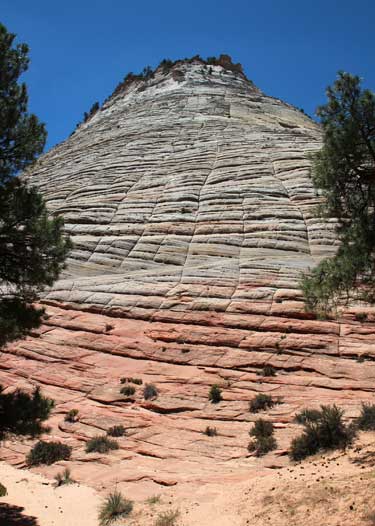
Made of Navajo sandstone, it was built from ancient sand dunes.
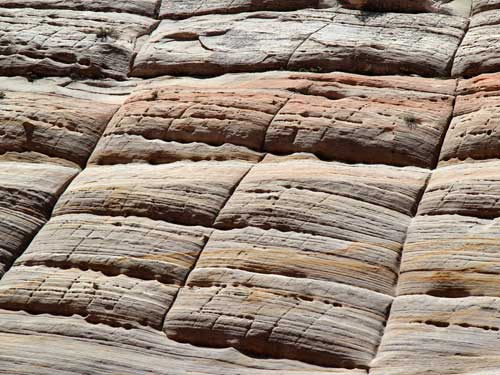
The horizontal lines are called cross-bedding. They represent the layers of wind-blown sand that built up the dunes. The vertical lines are less common in the area. They are shallow cracks that result from stress and erosion on the rock surface. They are probably caused by expansion and contraction, temperature changes, wetting/drying or a combination of these processes.
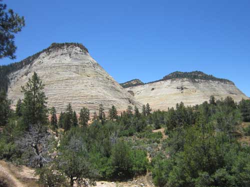
More mesas
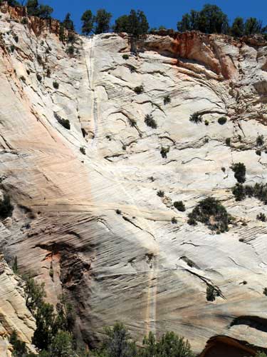
Note the waterfall lines
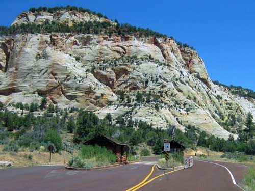
Exiting the park
At the Mt. Carmel Junction, we turned north onto Highway 89.
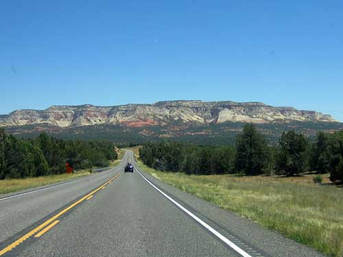
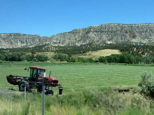
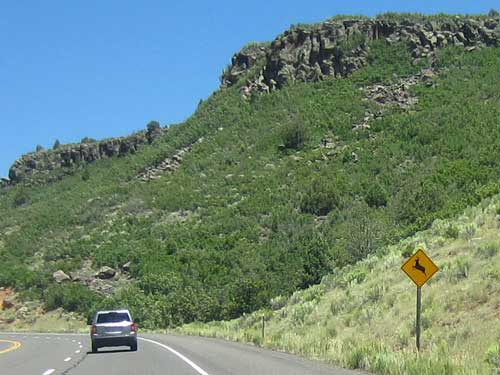
Warning, deer in the area...
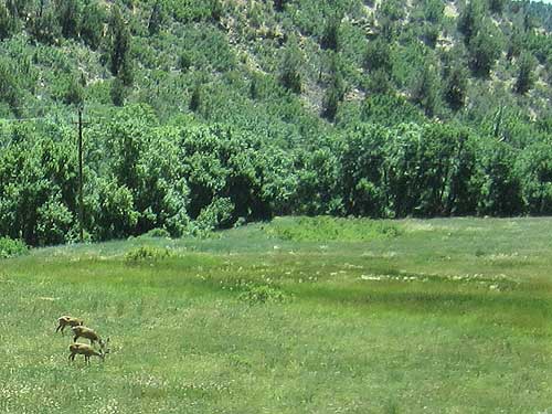
... Yup! There they are!...
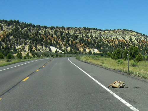
... and were. We saw four roadkills just on this stretch of road alone. It is estimated that 20,000 deer are killed per year on Utah's roadways, but it's quite possible that number is much higher and even exceeds those shot by hunters.
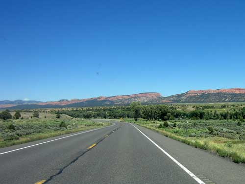
We arrived in the small town of Hatch in the early afternoon. We checked into accommodations, the Mountain Ridge Motel and Cabins, and were extremely happy with our little cabin!
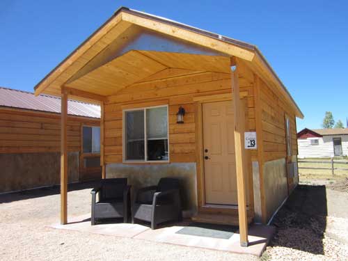
Lucky #13
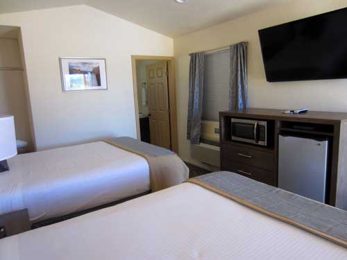
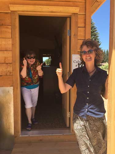
We approve!

Somebody get this man a corncob pipe!
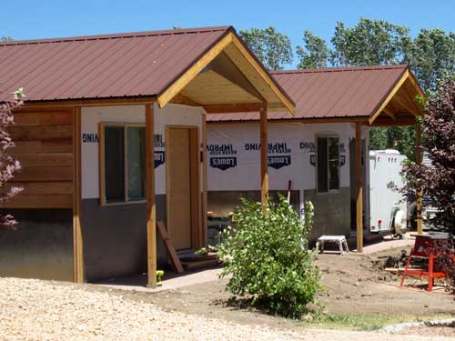
The woman at the reception desk said the cabins were so popular that they were busy building more of them.
Many of the restaurants were closed but eventually we found the Hatch Station. Everything had a train theme so we asked our server if this was the location of the old depot. She confessed that there never was a train in Hatch. The owner, Mike, simply REALLY liked trains and made this all up. After lunch as we were leaving, Mike showed up dressed as a train engineer.
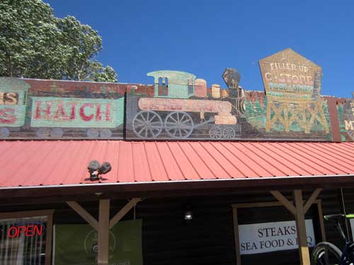
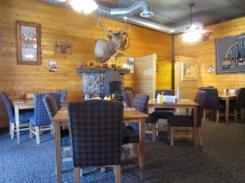
Rustic and charming...
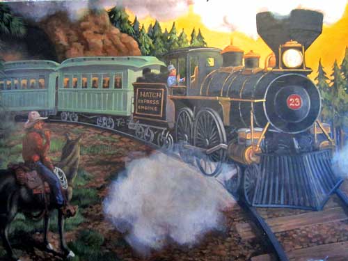
... and fake Hatch trains!
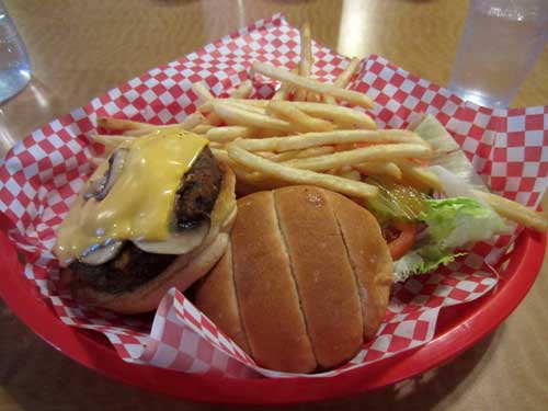
After a short rest, we headed out several miles to see Bryce Canyon National Park... making a nice stop at Red Canyon along the way.
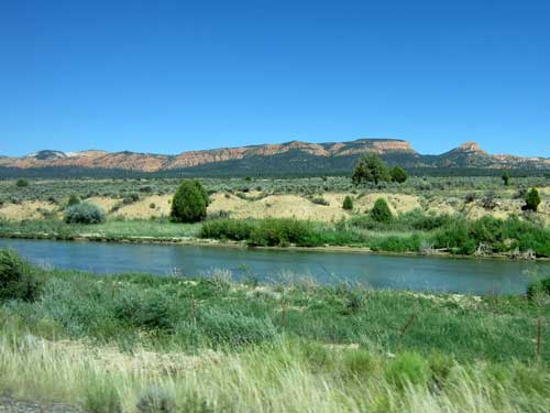
The Sevier River
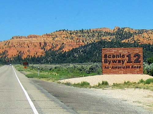
Scenic Byway 12 runs for 124 miles through some spectacular scenery. We were only going to do part of it today but would complete the entire thing tomorrow. This section of it was added to the state highway system in 1914. It wasn't until 1940 that the full highway was completed.
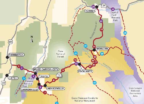
Click for a larger view
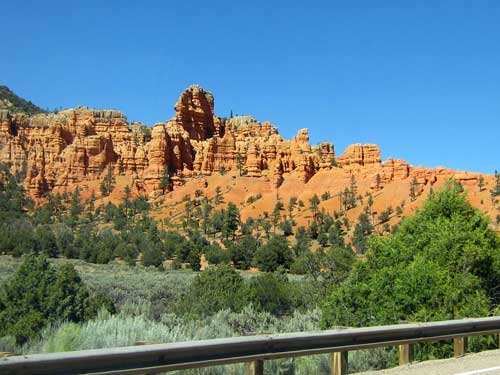
The start of some amazing formations
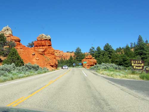
Welcome to Dixie!
Dixie National Forest covers almost 2 million acres across 170 miles. It exists as separate tracts of land in distinct locations because it is a consolidation of four formerly independent national forests from the 1930's. It is home to desert plants all the way up to pine forests.
It gets its name from the Mormon settlers who mostly came from south of the Mason-Dixon line (which basically divides Pennsylvania and Delaware from West Virginia and Maryland). The warm climate and their cotton fields reminded them of their hometowns so they called it Utah's Dixie.
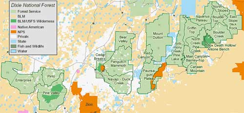
Click for a larger view
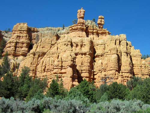
More incredible formations
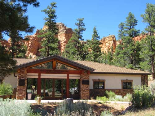
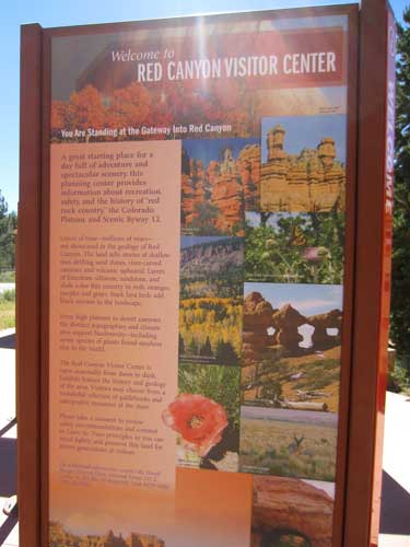
There were signs for the Red Canyon Visitor Center so we decided to pull in and check it out. It contained an excellent museum and some nice outdoor trails.
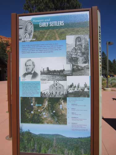
The first transportation through this area was only by foot. It wasn't until the 1840's when horses and oxen began pulling thousand of people in by wagons. Brigham Young sent the first settlers down here from Salt Lake City in the early 1850's.
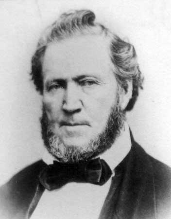
Brigham Young (1801 - 1877)
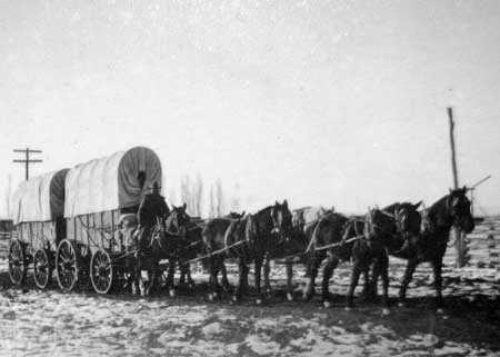
Mormon pioneers
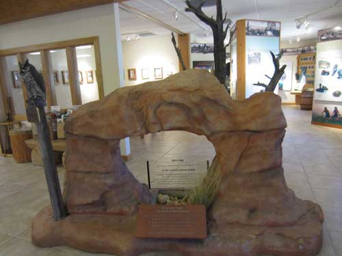
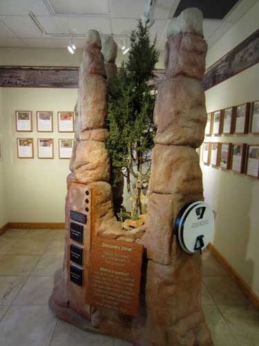
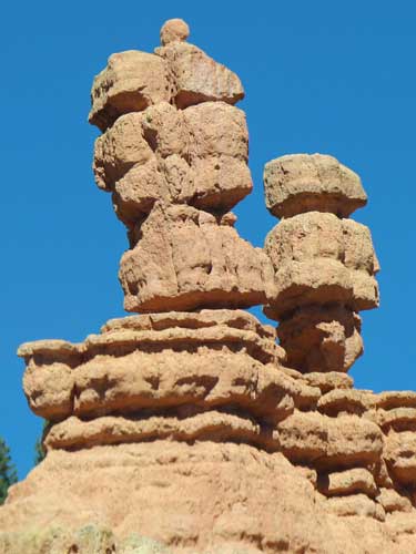
What are hoodoos? They are basically just towers of rock carved by ice and rain.
The Southern Paiute believe the hoodoos are the Legend People turned to stone by Coyote.
Long, long ago, before any Europeans arrived and even before the native people were here, there lived the Legend People. They thrived when Coyote oversaw this land. Coyote was a trickster god, generally kind but always with a sense of humor. The Legend People were greedy; they drank all the water and ate all the food, leaving nothing behind for the other animals.
So Coyote invited them to a great feast. They showed up dressed in their finest, most colorful clothing. But before any of them could eat, Coyote cast a curse that would turn them to stone. They fled and raced across the canyon floor. In their desperation to escape, they trampled over and disfigured one another, clambering over the bodies of those slowly turning to stone. And so they became the hoodoos we see today... colorful, distorted and tall... while the remaining plants and animals get to peacefully live out their days.
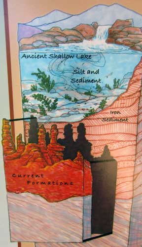
Why is the canyon red? Over 60 million years ago, this area was under a vast, shallow freshwater lake. Over time, sediments were deposited that would form the Claron Limestone layer. The freshwater plants in this lake infused the soil with oxygen, which slowly reacted with iron deposits in the soil (think "rust'), turning the lake bottom red. Eventually the lake dried up and erosion exposed the limestone and carved out the hoodoos.
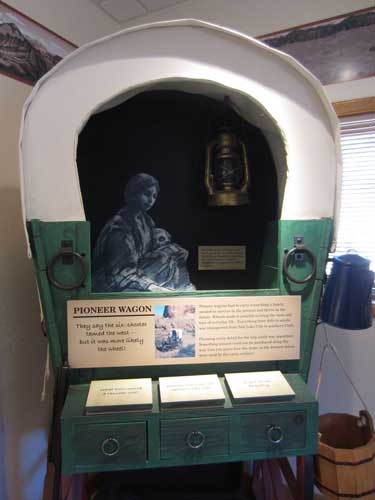
What would you bring in your covered wagon? As a rancher? As a new settler? As a young girl?...
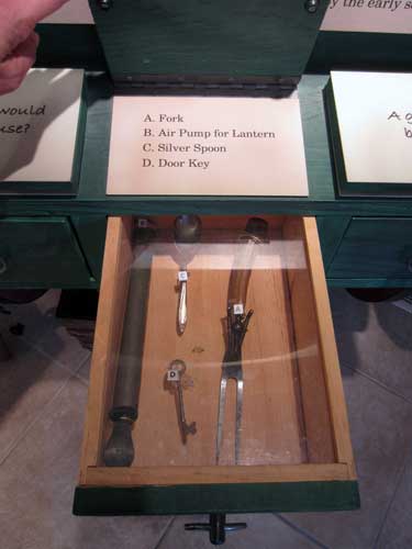
... Anything from spurs and a chisel, to silverware and lanterns, to lace and perfume.
There was no manual on how to live life in the West in the 1860's. Survival techniques were often experimental and failure could easily mean death. By the 1900's, mail order catalogs offered everything a person might need, not just the essentials but also pleasures and comforts.
After WWII, things changed again. Logging, farming and ranching gave way to tourism, motels and roadside attractions as people began to value the land more for its beauty than for mining. Buckskin became spandex; chewing tobacco became gourmet coffee; and mountain bike racks replaced rifle racks.
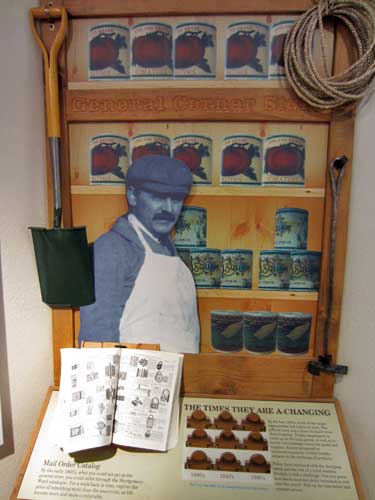
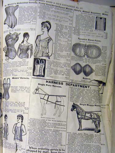
Interesting how corsets are on the same page as harnesses!
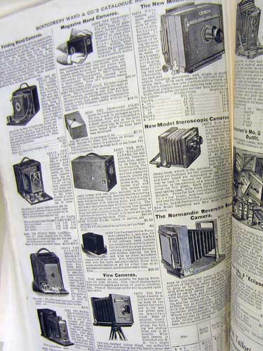
Cameras of the day
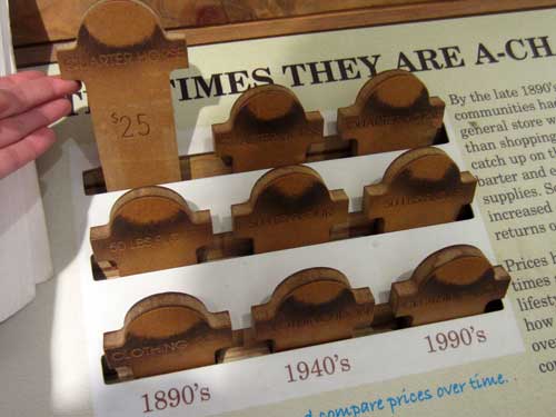
In the 1890's, a quarter horse cost $25. In 2002, one sold for as high as $19,000.
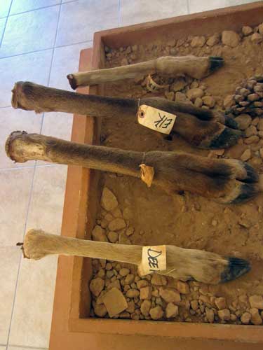
Um.... educational but also eewww.
return • continue

