ZION & BRYCE (Day 14 - part 4)
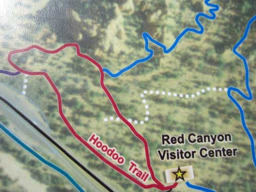
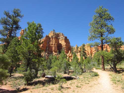
There were many different trails to take around the area. I took the shortest one for time's sake.
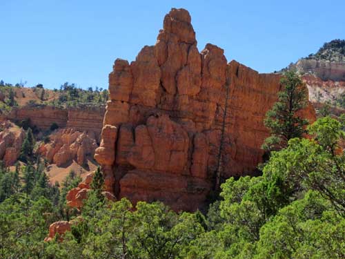
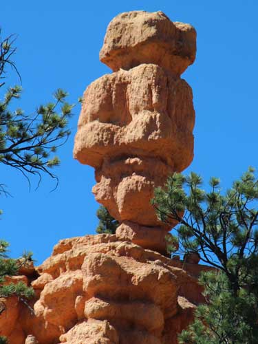
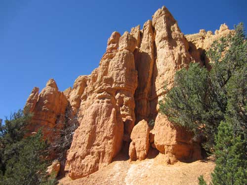
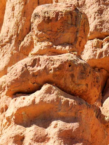
Wow, it almost does look like a face!
We hopped back on Highway 12 and continued west.
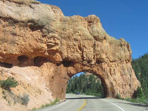
The Red Canyon tunnels opened up this section of road in 1925 .
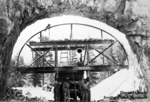
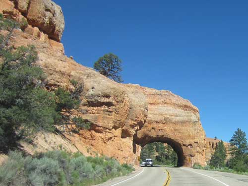
The second tunnel
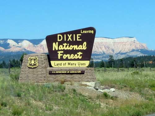
We would see many of these signs... entering, leaving, entering, etc... on our journey. In the background is the Aquarius Plateau. The 900 square-mile plateau, which rests on the much larger Colorado Plateau, is the highest in North America with over 50,000 acres of terrain above 11,000 feet.
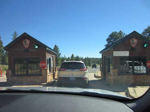
Arriving at Bryce
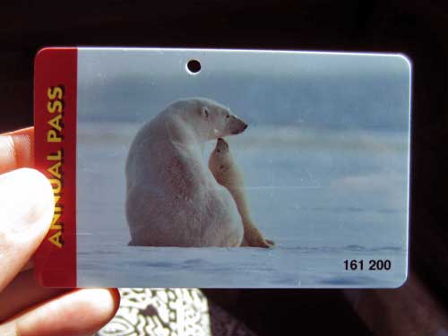
We were getting good use out of my park pass!
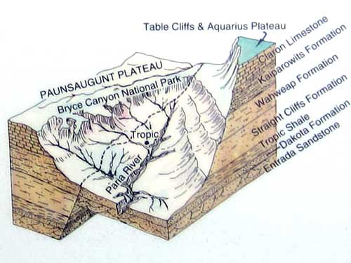
In spite of its name, Bryce Canyon is not a canyon but rather a series of large, natural amphitheaters that extends more than 20 miles north-south within the park along the eastern side of the Paunsaugunt Plateau. The largest is Bryce Amphitheater, which is 12 miles long, 3 miles wide and 800 feet deep. Technically to be a canyon, it would have had to been carved by a central stream, which it wasn't. It was carved by what is called "headward erosion" which is erosion at the head or origin of a stream channel (which causes the origin to move back away from the direction of the stream flow, and so causes the stream channel to lengthen).
The individual amphitheaters with their stream channles are visible here.
Bryce was established as a National Monument in 1923 and a National Park in 1928. It was named after Ebenezer Bryce, a Scottish man disowned by his father for converting to Mormonism. He lived in the area with his wife, Mary, from 1875 - 1880.
The Southern Pauites called Bryce canyon "unka tumpi wenex tang'watsini xoopakichu aaxa" (red rock standing like a man in a hole). Their language is responsible for many of the names we have of the area today: Paunsaugunt (place of beavers), Paria (muddy water), Panguitch (home of fish-eating people), Yovimpa (ponderosa pine water).
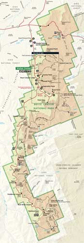
A map of the park (click for a larger view)
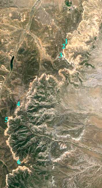
A satellite view also clearly reveals the series of amphitheaters
To get a feel of the land: 1) Sunrise Point, 2) Sunset Point, 3) Inspiration Point, 4) Farview Point, 5) Natural Bridge, 6) Rainbow Point
Our first stop was Sunset Point. It was QUITE windy!
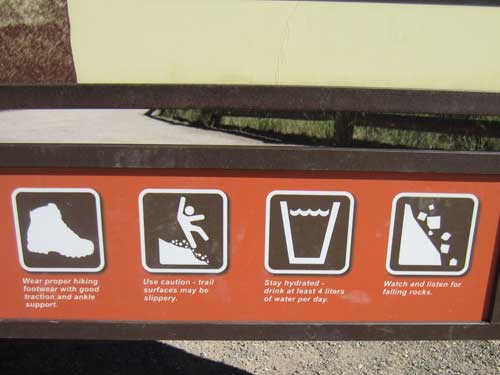
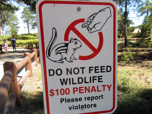
The dangers that can befall you... Fortunately, Bryce averages less than 1 fatality per year. There are, however, hundreds of serious injuries. The main causes are poor shoes, leaving the designated trail or climbing on the crumbly cliffs, dehydration and sunburn, over-exertion (at elevations of 9,000 feet), heart attacks, ignoring extreme weather (temperatures and lightning storms), feeding wild animals (big and small) and traffic accidents.
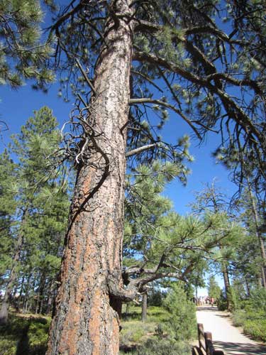
Ponderosa Pines (or Western Yellow Pines) grow to heights of over 200 feet with trunks 3 - 4 feet across. The trees can live for 500 years or more. Named for its ponderous (heavy) wood, this was the major lumber tree in the Southwest.
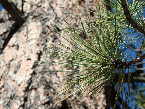
The evergreen needles come three to a bundle.
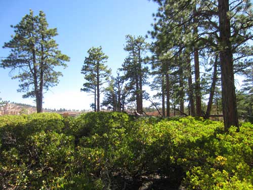
Greenleaf Manzanita is the most common shrub beneath the Ponderosa Pines.
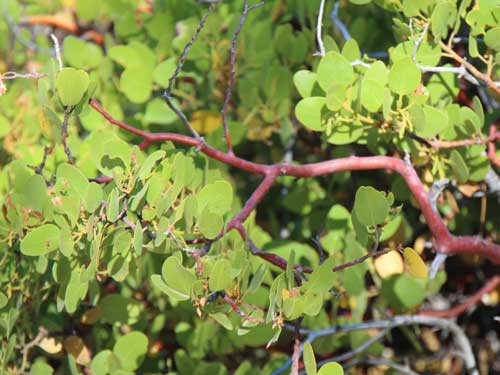
It has distinctive smooth reddish bark.
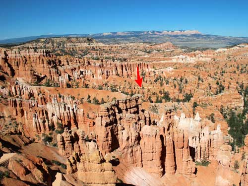
For a sense of scale, look here...
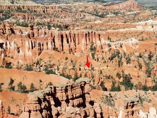
... Keep looking...
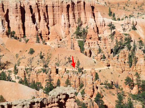
... See them yet?...
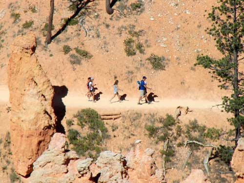
... Welcome to insignificance!
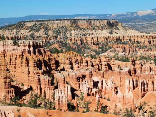
A sea of hoodoos, with the Aquarius Plateau 15 miles away in the far background
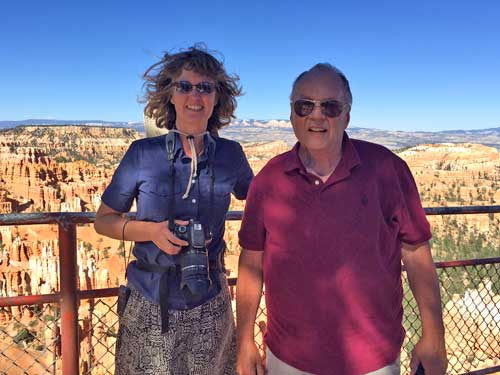
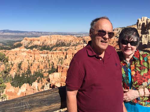
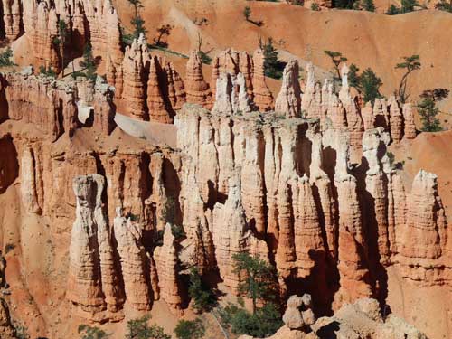
Hoodoos don't last forever. The same processes that create them are equally aggressive in their destruction. The average rate of erosion is about 2 - 4 feet every 100 years. Eventually Bryce Canyon, as we know it, will not be here.
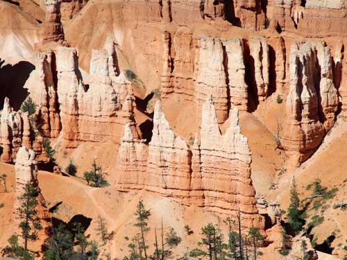
Remember our white, pink and brown layers of the Navajo Sandstone that we saw at Zion? Same thing!
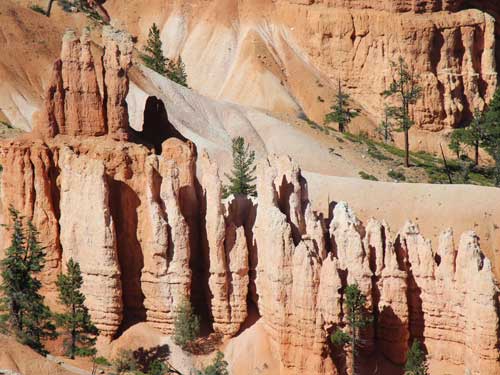
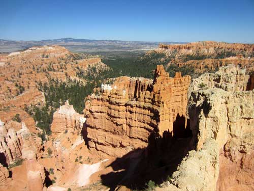
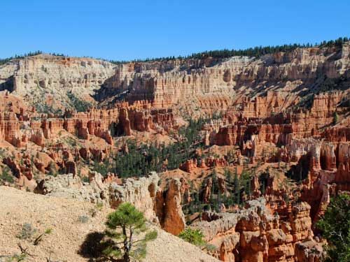
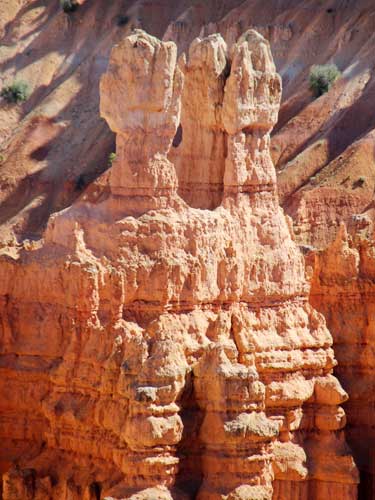
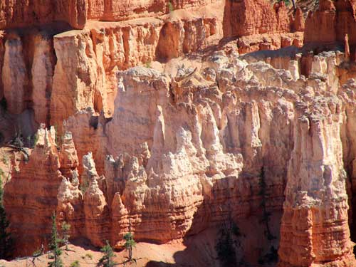
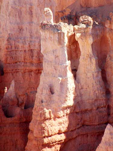
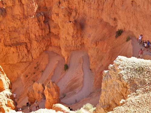
The steep decent of the Navajo Loop Trail down to the canyon floor
We were hoping to go to Bryce Point but the road was closed off. So instead we went to Inspiration point (elevation 8,100).
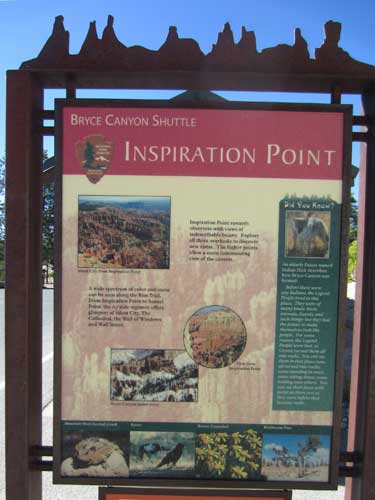

Click for a larger view
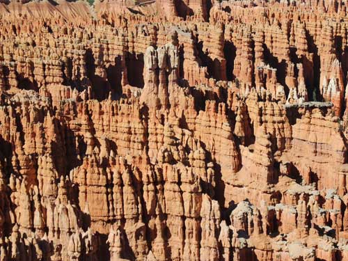
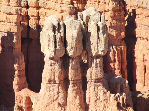
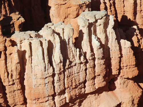
Each column of rock is protected by a harder caprock called dolomite (a unique form of limestone reinforced by magnesium). Alternating hard and soft layers erode at different rates which cause the varied shapes of the hoodoos. Eventually the hoot will collapse when the softer layer erodes too far.
We continued on down the length of the park.
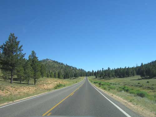
One might never know from this view that such an incredible canyon was so close by!
return • continue

