ZION & BRYCE (Day 14 - part 1)
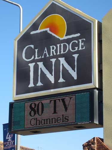
The motel sign boasted 80 channels but 95% of them were super fuzzy and didn't come in.
We packed up and headed toward Zion National Park. We left the Great Basin and entered the Colorado Plateau.
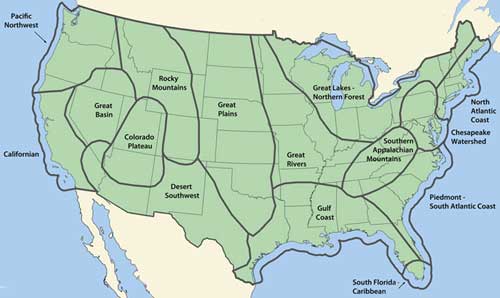
In general, none of these regions have definitive borders. It all depends on whether you're talking about geology, watersheds, topography, plant and animal communities, cultures, etc. (Click for a larger view)
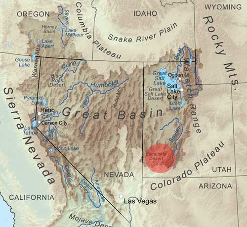
The Great Basin is a 200,000 square mile area that drains internally. That means all precipitation either evaporates, sinks underground or flows into lakes. There are no outlets to either the Gulf of Mexico or the Pacific Ocean. The term is slightly misleading since the region is actually made up of many small basins. The Great Salt Lake, Pyramid Lake and the Humboldt Sink are a few of the basin's 'drains.'. The name was coined by John C. Fremont (1813 - 1890) who recognized the area as "having no connection to the ocean."
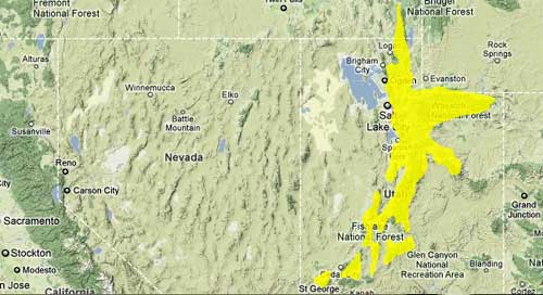
The Wasatch Range stretches 160 miles from the Utah-Idaho border, south through central Utah. It is one of the few clear borders between the Great Basin (left) and the Colorado Plateau (right).
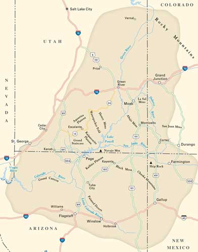
The Colorado Plateau covers some 130,000 square miles. About 90% of the area is drained by the Colorado River and its main tributaries. The rest is drained by the Rio Grande and its tributaries. The plateau began forming 600 million years ago with sedimentary deposits. 180 million years ago, these were the largest sand dunes ever on the planet! Over time, the sand became pressed into rock (Navajo sandstone) and was 3,000 feet thick. Then 5 - 10 million years ago, the land lifted up to 10,000 feet. Rivers began to carve it up to create all the various magnificent canyons.
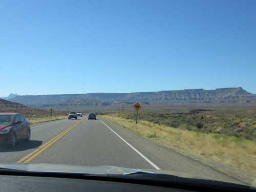
The start of the Colorado Plateau
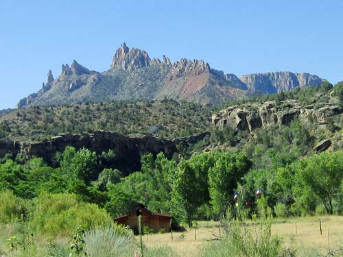
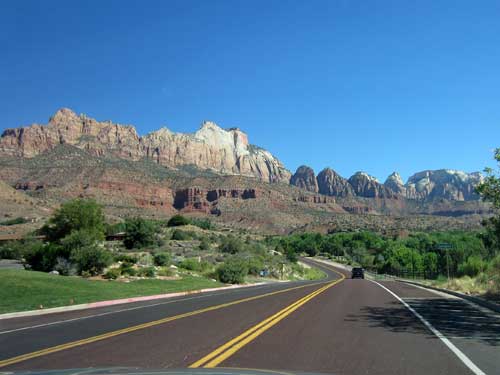
Our first views
There was a long line to get in. We swung off the road and parked at the Toaquim’s Village shopping area. From there we walked a short distance to a pedestrian entrance booth. The ranger informed us that only park shuttles were allowed into the park this time of year (not even handicapped vehicles), but if we didn't want to do that, we could still get lovely views along the Zion-Mt. Carmel Highway. So we opted to be content with that.
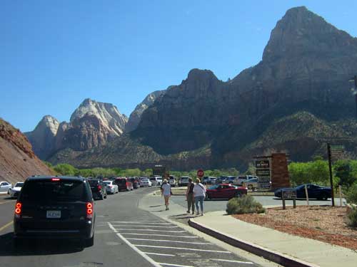
The line to get in
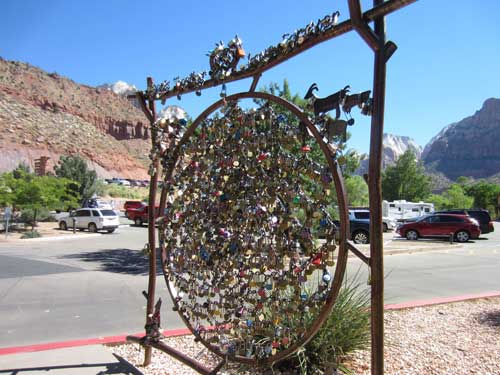
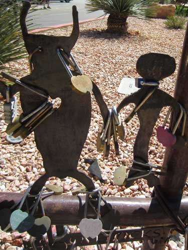
This is a 'Lovescape' where couples can attach a 'love lock' claiming their undying devotion to each other forever.
It's not really clear when or how this tradition started but it is worldwide. A cute idea... when just a few people did it. One lock weighs only a few ounces but thousands of them can collapse structures, such as the railing of a bridge in Paris in 2014. Locks were also being attached to lamps, sculptures, signs, grates, basically anything that a lock can be fastened to, and they are now considered 'visual pollution' and a blight to the city’s architecture. Keys litter the rivers. Locks are also now illegal on the Brooklyn Bridge in New York City. They are seen as damaging to the structure, potentially dangerous and also costly.... and they now come with a $100 fine if you are caught doing it. As an alternative, love-lock trees (such as the one here) now provide alternative locations.
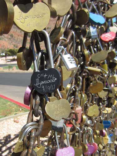
Each lock is engraved with a memory.
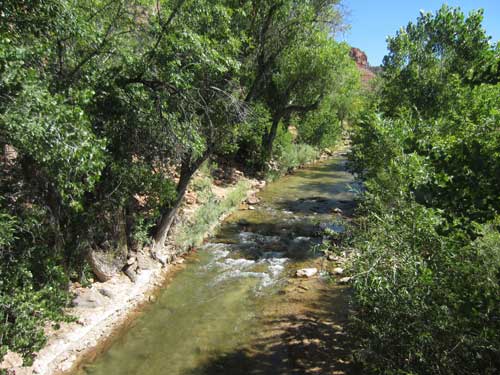
Walking over the Virgin River
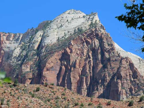
Views of spectacular cliffs!
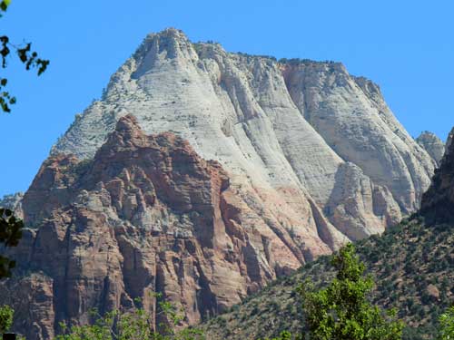
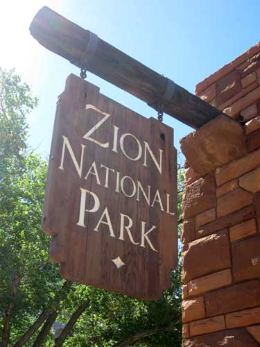
Zion National Park became protected under the name of Mukuntuweap National Monument in 1909. In 1918, it was changed to Zion (the name used by the Mormons who had settled the area in the early 1860's) since it was thought that the difficult name would deter visitors. It became a National Park in 1919 and the northwestern Kolob section was added in 1956.
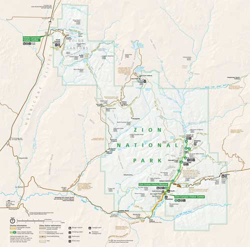
Click for a larger view
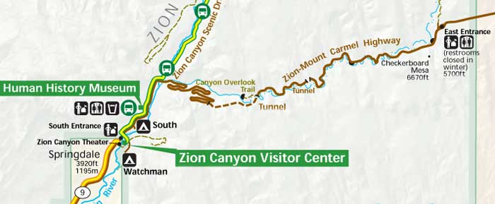
Our planned route: the visitor center, the museum and then the highway
We waited in the line to drive through the park gate and fortunately found some handicapped parking at the visitor center.
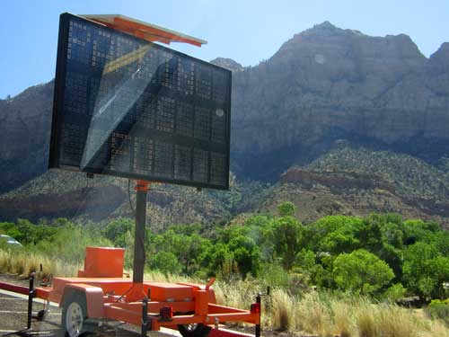
"Parking is full"
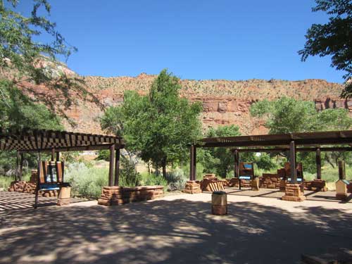
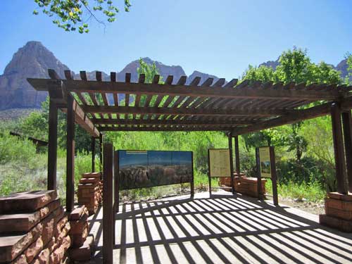
The outdoor exhibits were beautifully done and highly informative.
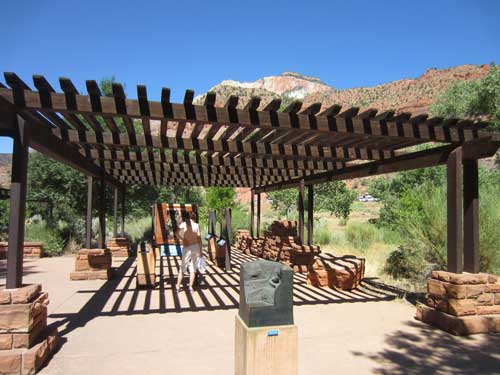
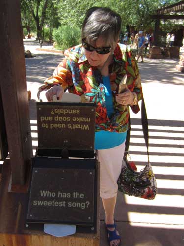
Joanne learns some interesting facts.
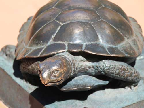
Life-like bronze sculptures of some of Zion's animals also lined the courtyard. The long-lived desert tortoise is a resident of the Mojave Desert, which extends into the southern-most portions of the park.
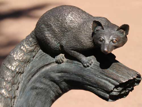
The ringtail cat (a relative of the raccoon) is rarely seen. They only come out at night.
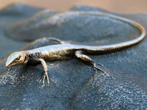
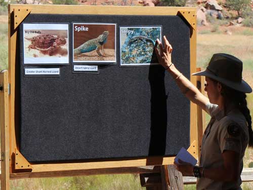
Zion is home to numerous lizard species. Smaller lizards tend to bask early in the morning since their size allows them to warm up quickly. Larger lizards bask later in the morning once the sun’s rays are more powerful. This prevents them from becoming prey before they have enough energy to safely scurry away from predators.
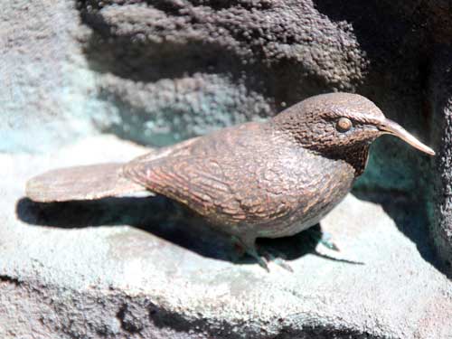
The canyon wren has a melodic song.
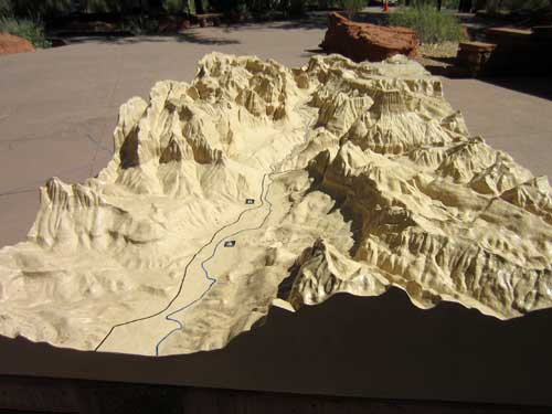
A detailed relief of the canyon
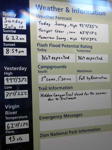
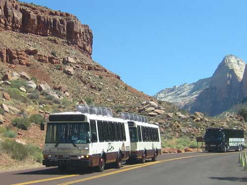
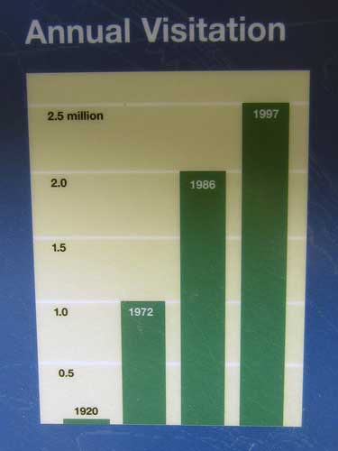
A shuttle passes by. Before the shuttle system was set up in 1999, 5,000 cars daily filled the narrow canyon, which only had 450 parking spaces.
We then drove to the Human History Museum. Along with great views and informative exhibits, there was also a nice movie about the park's geology and history.
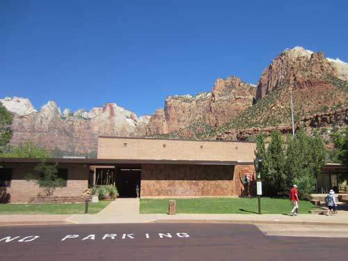
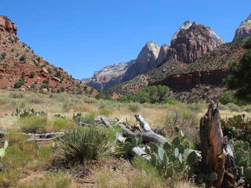
A view down the valley...
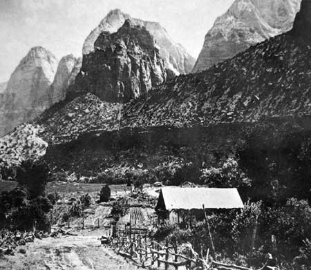
... and the same view from the 1920's. This is the farm built by William and Cornelia Crawford in 1879. They grew corn, tobacco, fruit trees and had a vegetable garden. Irrigation ditches from the river kept everything green. But it was a difficult life and they were one of the last group of people to try to sustain life in the canyon.
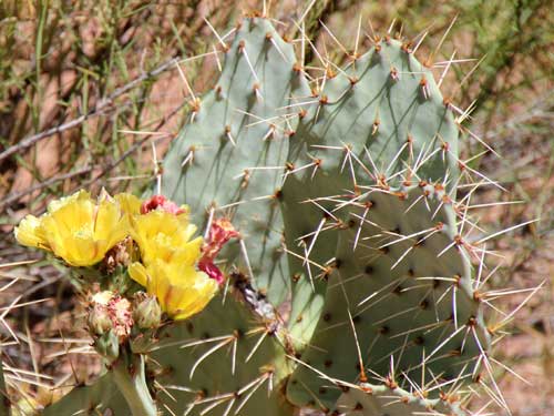
Like all true cactus species, prickly pears are native only to the Americas, but they have been introduced to other parts of the globe.
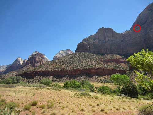
High up on the cliff wall...
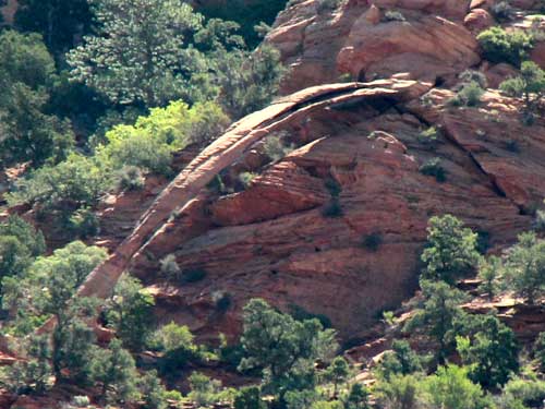
... is Crawford Arch. It began as a crack behind a stone slab. The crack slowly got bigger from erosion and eventually big blocks fall away, creating an arch.
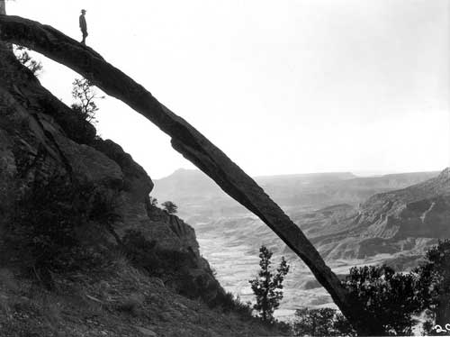
The arch looks small from down below, but it isn't.
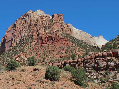
More cliff views
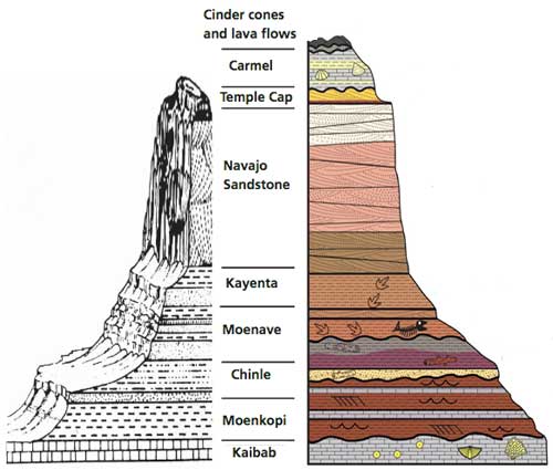
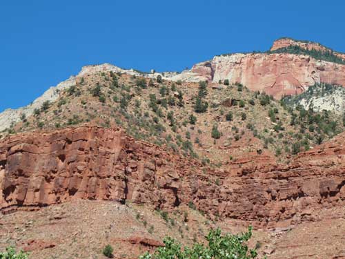
The textures and colors of the various rock layers
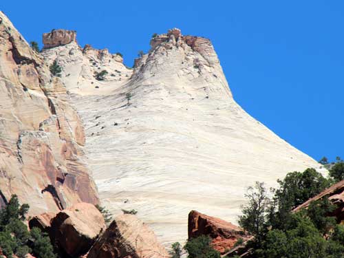
The range of colors of the Navajo Sandstone (red, brown, pink, gold and white) results from varying amounts and forms of iron oxide within the rock, and in the case of the white upper portion, the overall lack of iron.
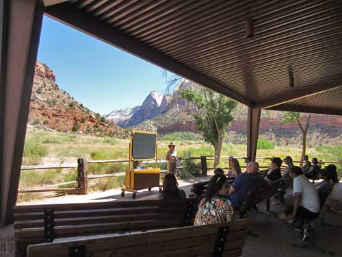
A ranger gives a talk on different kinds of lizards in the park.
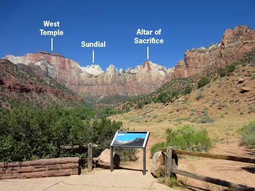
These are the Towers of the Virgin: West Temple (7,810 feet tall), Sundial (7,590 feet) and the Altar of Sacrifice (7,505 feet)
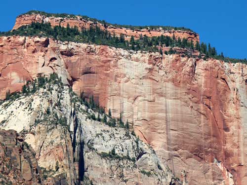
The very top of the West Temple is composed of the Temple Cap Formation. Below that is Navajo Sandstone. The different colored streaks down the cliff face are the result of seasonal rains and waterfalls.
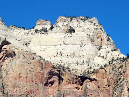
The Sundial
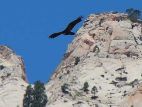
A vulture soars silently overhead...
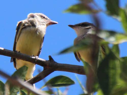
... while two small birds chatter at each other in the nearby trees. They are possibly a type of Wood Pewee or Flycatcher.
return • continue

