HOOVER DAM (Day 13 - part 7)
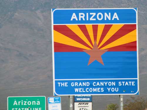
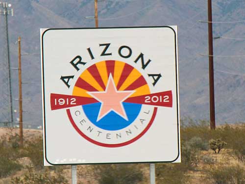
We crossed over into Arizona. The quality of the roads was instantly nicer.
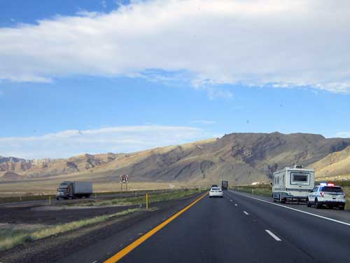
Even though this area looks remote, police officers are still out and about.
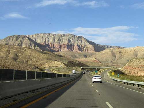
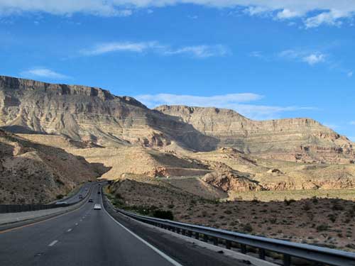
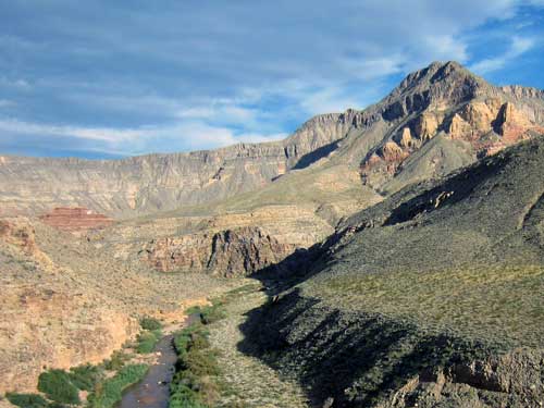
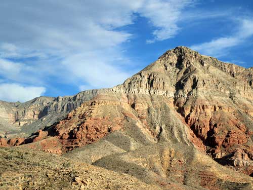
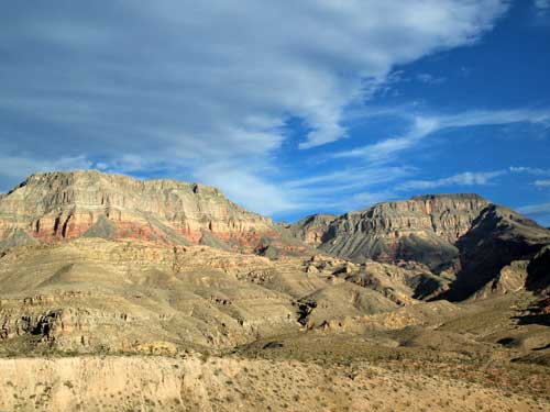
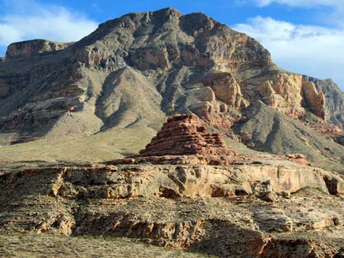
We entered the spectacular Virgin River Gorge. Carved out by the Virgin River, the deep gorge connects the southwestern rim of the Colorado Plateau and the northeastern part of the Mojave Desert. This section of Interstate 15 is one of the most expensive parts of interstate highway ever constructed.
The area is protected by the Virgin River Canyon Recreation Area, which offers camping, picnic areas, river access, two wilderness areas and hiking trails. It is run by the Bureau of Land Management (BLM), an agency within the US Department of the Interior.
The BLM was created in 1946 to originally manage "land nobody wanted" because homesteaders had passed them by. Today it manages approximately 245 million acres, including 221 wilderness areas, 23 national monuments and 636 other protected areas, not to mention grazing permits and gas and oil wells on BLM land. Along with this surface land, it also manages 700 million acres of sub-surface estate, underlying both federal and non-federal lands. This means it owns the mineral rights to property run by the National Park Service, state owned lands, and even private property and Indian lands.
It can get even more convoluted than that... it is possible for one person to own the surface, another to own the mineral rights, yet another gets the royalties to those minerals, and still another can own the timber rights. Modern technologies such as horizontal drilling, fracking and other mineral extraction techniques have caused further complications.
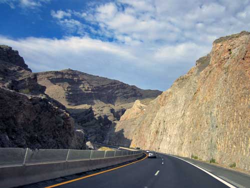
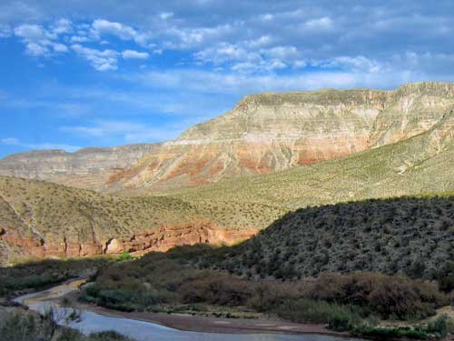
The Virgin River
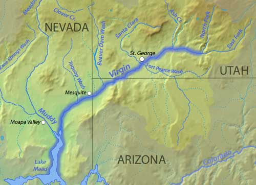
The Virgin River is a tributary of the Colorado River. It's about 162 miles long and flows through Zion Canyon, past St. George, through the gorge where we were now, and eventually empties into the Colorado at Lake Mead.
The river is named for Thomas Virgin, a member of an expedition party led by Jedediah Smith in 1826. Smith named it Adams River, after John Quincy Adams (the president at the time), but later explorer John C. Fremont gave it its current name. Thomas was badly wounded in an attack by the Mohave while crossing the desert. He recovered but was later killed (along with most of his companions) in an attack by the Umpqua in Oregon.
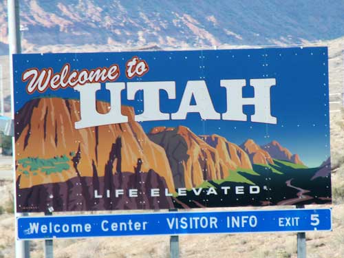
We arrived at Utah. Every state crossing was different... some had inspections, some had giant signs, others had barely anything. Either way, we were now back in the Mountain Time Zone, meaning we lost an hour.
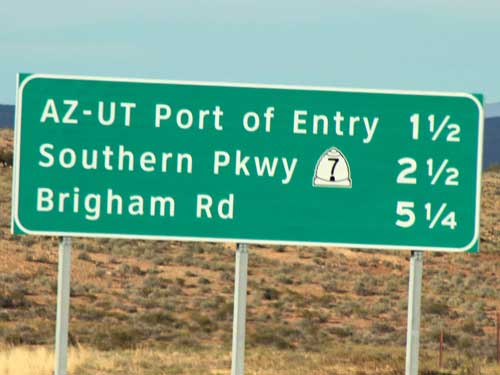
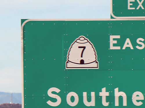
Highway signs had little beehive pictures. The Mormon pioneers called this area 'Deseret' which according to the Book of Mormon was an ancient word for honeybee. The beehive was the emblem for the provisional State of Deseret in 1848 as well as was on the flag when Utah became a state in 1896. The state's motto is"Industry."
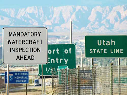
Probably for quagga mussels and harmful algae
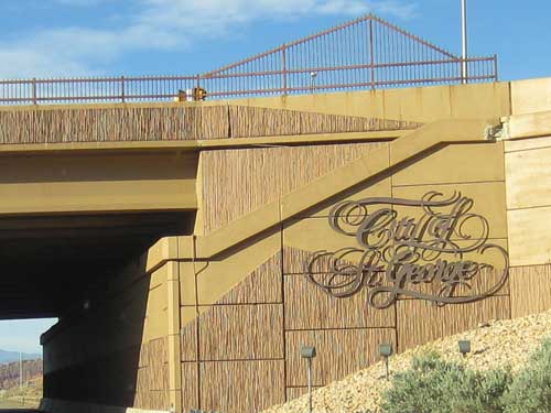
We arrived in St. George and checked into our hotel. Then we grabbed dinner at a nearby restaurant.
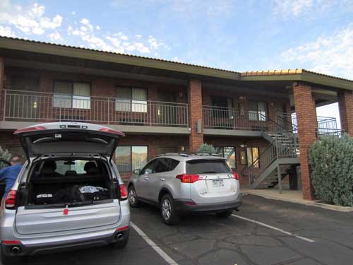
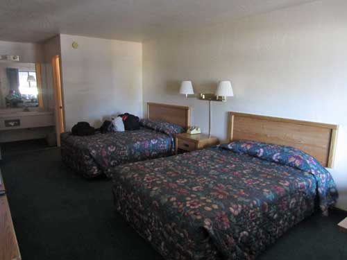
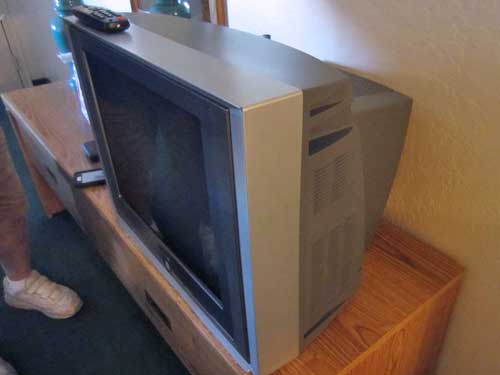
This was our first hotel that didn't have a new flat-screen tv!
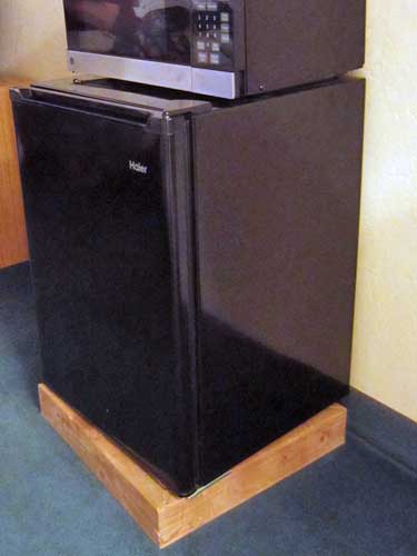
Classy furniture stand!
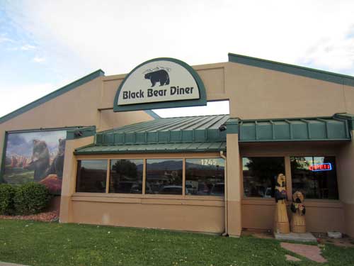
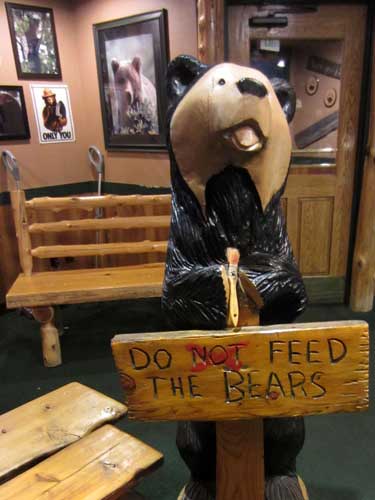
The Black Bear Diner had a very obvious 'bear' theme... both inside and out. The first restaurant was opened in Mount Shasta, California in 1994. There are now 81 locations in eight states.
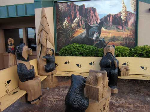
Murals and artwork are created by Steve and Gary Fitzgerald and Colleen Mitchell-Veyna.
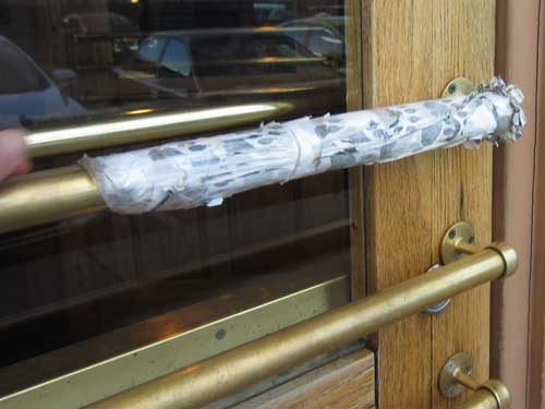
Why was the door handle wrapped? Oh yes... it's metal and was over 100 degrees today!
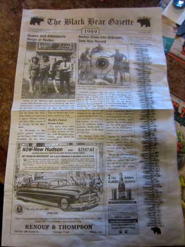
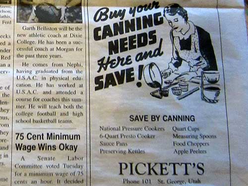
The menu was a cute 1949 newspaper, complete with era-appropriate articles and ads on the front and back...
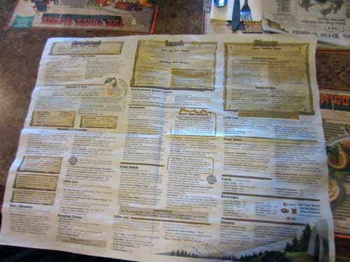
... and the menu in the middle.
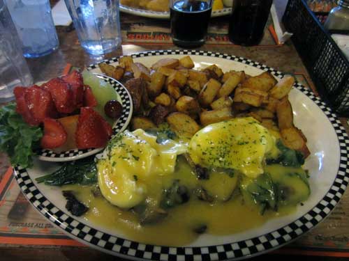
A lot of food!!
return • continue

