HOOVER DAM (Day 13 - part 6)
Instead of taking the main highway directly from Las Vegas up to St. George (Utah), we decided to take some side roads, which led us unexpectedly into Lake Mead National Recreation Area.
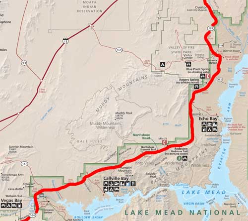
We followed the road along the edge of the park until it eventually returned us to the highway.
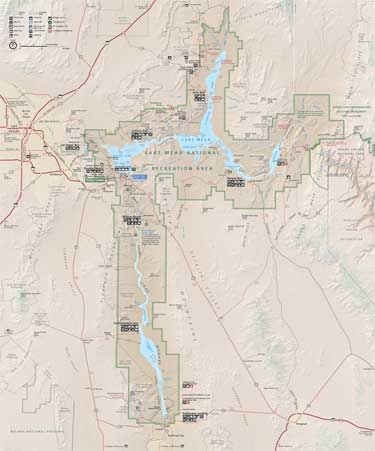
Note how the river suddenly turns sharply south at Lake Mead. This is actually where two massive faults meet. (Click for a larger view)
Lake Mead NRA lies mostly in Nevada but does flow over into Arizona a bit. It basically follows the Colorado River corridor in this area (after its already 800 mile journey from the Rocky Mountains through the Grand Canyon). It was established in 1936 to protect Lake Mead but was expanded in 1964 to include the reservoir of Lake Mohave (created by Davis Dam) as well. It currently encompases 1.5 million acres (including nine wilderness areas).As a recreation area, it allows boating, swimming, fishing and hiking. It includes pieces ofthe Mojave Desert, the Great Basin Desert and the Sonoran Desert.
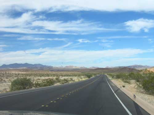
The view was incredibly scenic and offered a few interesting places to stop as well.
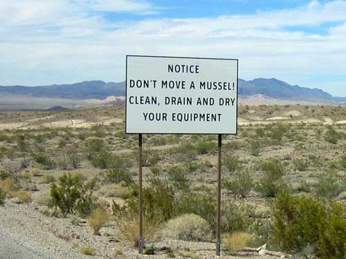
Quagga mussels, which are about the size of a dime when fully grown, are an invasive species that clog pipes, damage boats and transform freshwater ecosystems into toxic bogs. They were first discovered in Lake Mead in 2007, most likely carried on a boat from the Great Lakes region where the mussels have been wreaking havoc for over 20 years. Currently it's estimated that there are more than 1.5 trillion adults and 320 trillion babies, making it impossible to every fully eradicate the mussels from the lake. All that can be done now is not inadvertently transfer the mussels to another water source. Mussel babies can survive on a boat out of water for as long as 27 days.
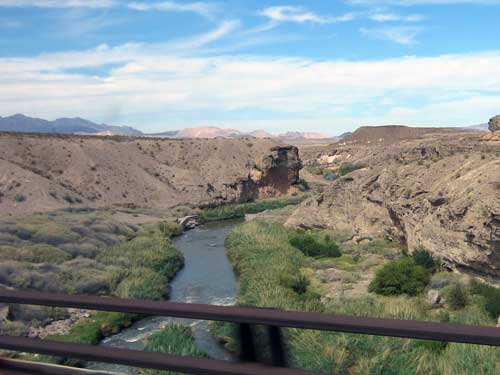
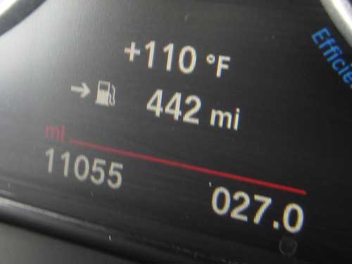
It was hot out!!
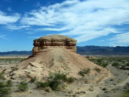
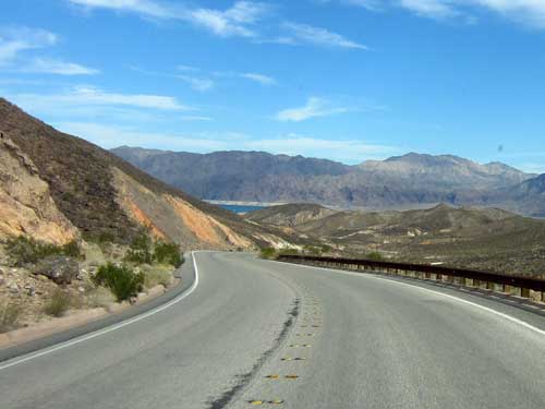
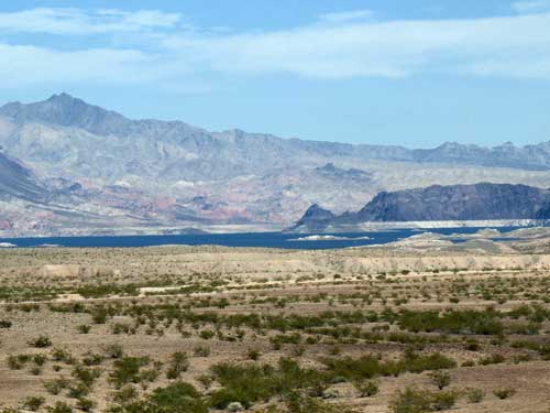
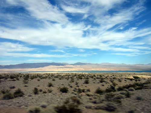
A glimpse of Lake Mead
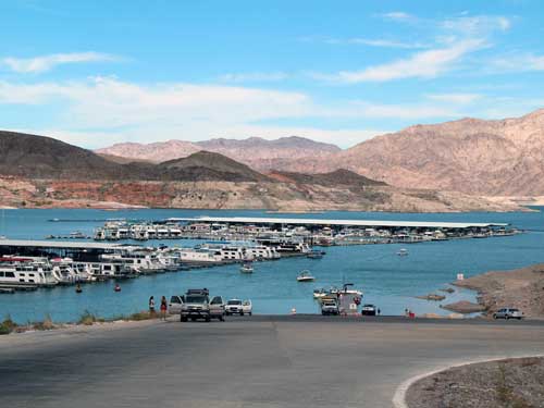
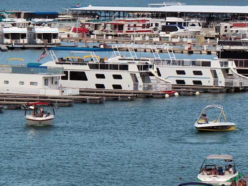
We took a side road down to Callville Bay, a resort and marina that was popular with houseboats and motorboats.
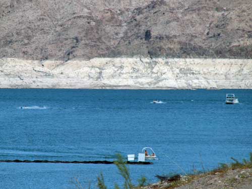
Lake Mead's distinctive white stripe again
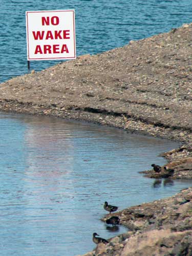
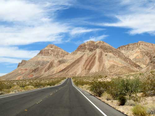
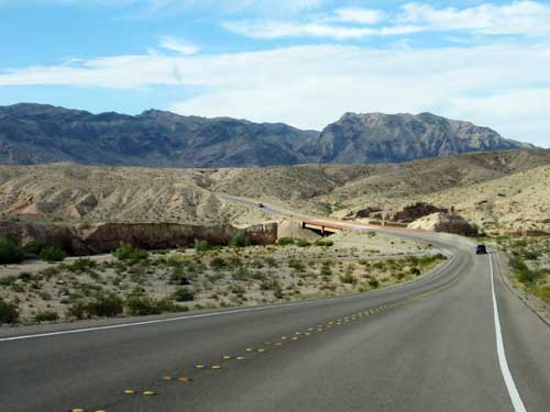
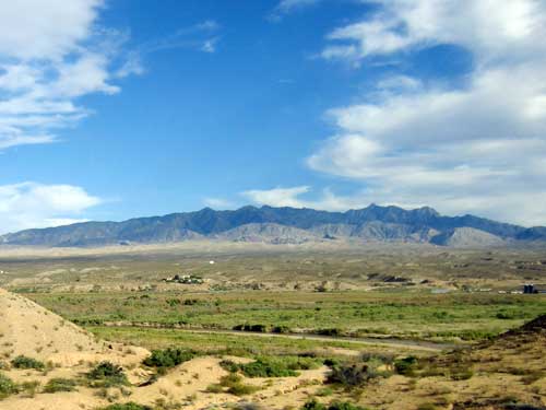
Back on the main road, we continued through ever-changing scenery.
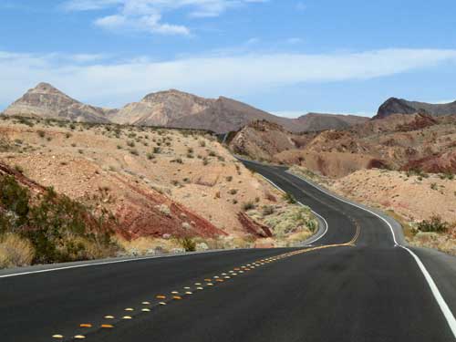
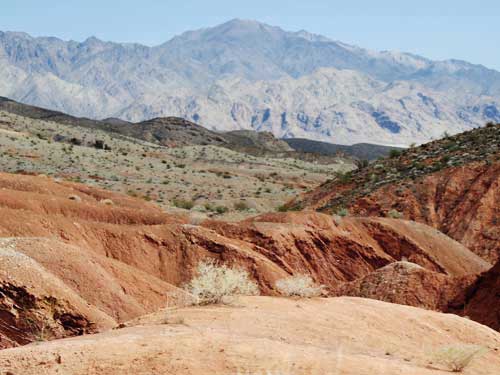
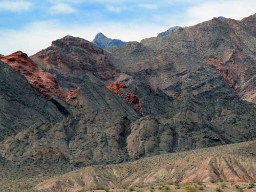
So many different textures and colors!
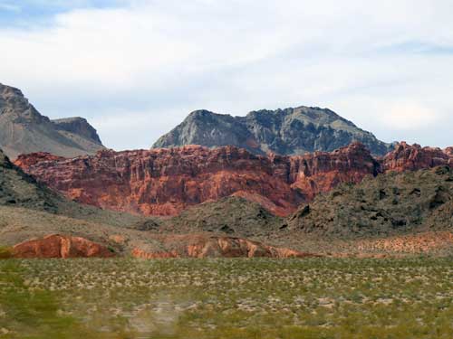
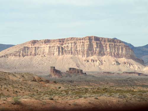
We made another short stop at the Redstone Dunes.
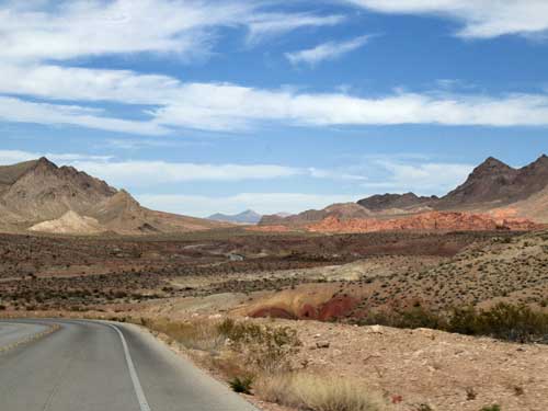
The distinctive Redstone Dunes in the distance
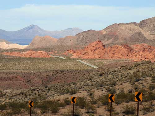
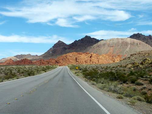
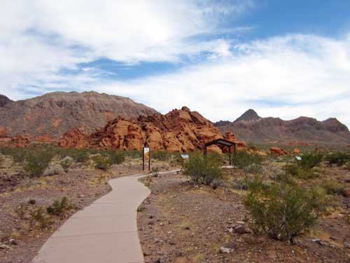
The trail was an easy half mile loop around some ancient rocks that were once desert dunes back when dinosaurs roamed these lands.
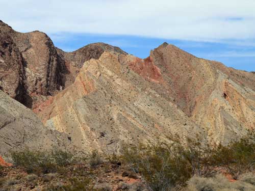
200 million years ago, a massive sand dune field covered the southwest. For millions of years, strong winds piled layer upon layer of sand... as much as 2,000 feet thick. Since then, various geologic forces covered, compressed, uplifted and exposed this colorful Aztec Sandstone (also known as Navajo or Nugget Sandstone).

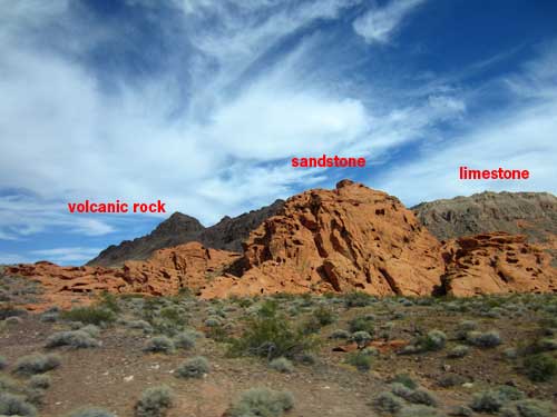
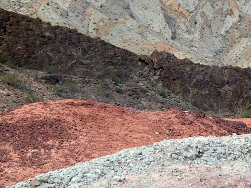
The dark volcanic rock is a highly-eroded interior wall of a volcano that erupted about 12 million years ago. The red sandstone is our old dunes, and the grey limestone is from when a sea covered this area.
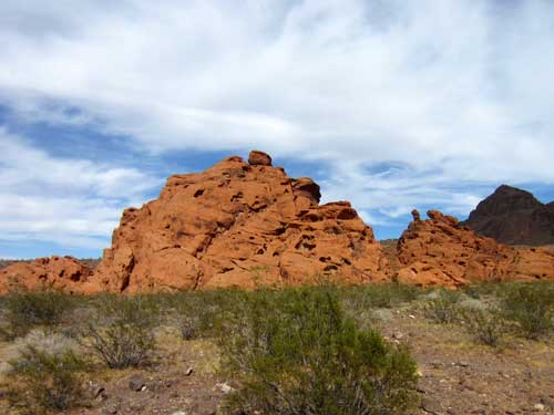
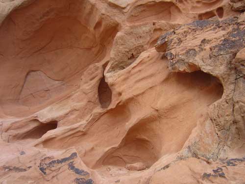
Holes have formed in poorly cemented areas of the sandstone... eroded by water, wind and time. They now provide shade and shelter for small mammals, reptiles and birds.
Back on the road...

Our next stop was Blue Point Springs... literally an oasis in the desert.
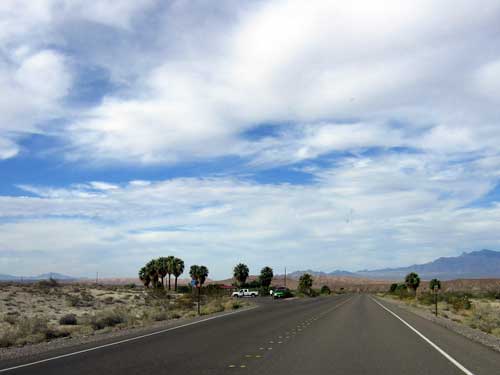
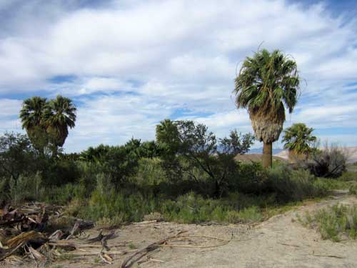
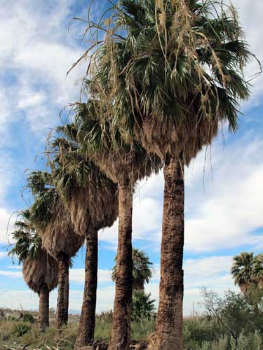
Water flows from a shallow cave on the hillside, runs down a long stream channel and provides life to these palm trees in this sparsely-vegetated section of the Mojave Desert.
The main reason the Mojave is so dry is due to the giant Sierra Nevada mountains located 100 miles to the west that block moisture from the Pacific Ocean. The name Mojave refers to the native Mohave people who used to live here and comes from the words aha (water) and macave (along or beside), meaning "people who live along the water" (in this case, the Colorado River). The true pronunciation of the tribe, and hence the area, should really be Aha macave (spoken as 'aha makav').
We only had about 8 miles left before exiting the recreation area...
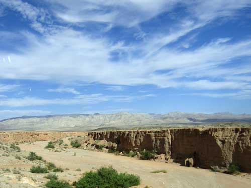
A wide wash
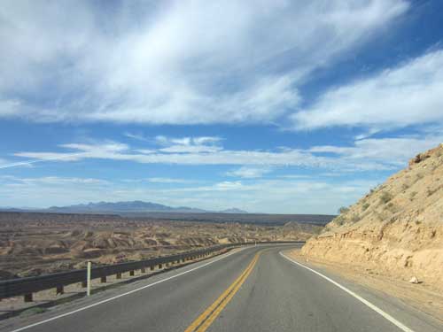
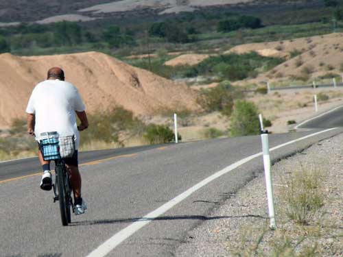
Cycling in 104 degree heat... with no hat! He's made of stronger stuff than I am!
We passed through the Moapa Valley which was home to several small towns, then joined back up with Interstate 15 and continued toward the Arizona border.
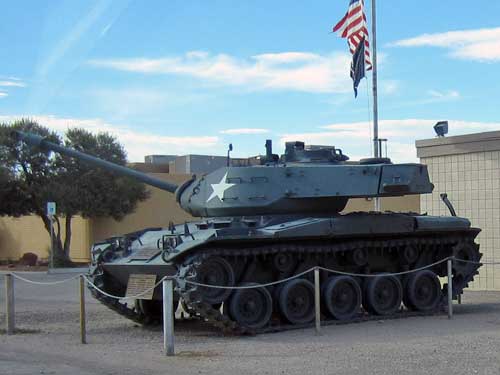
This Walker Bulldog Tank has been on display in front of the Overton Community Center for decades. The memorial WWII piece was given for free to the local veterans with the only requirement being that they paid the shipping costs to bring it here from Texas... which ended up being about $1,800 by train.
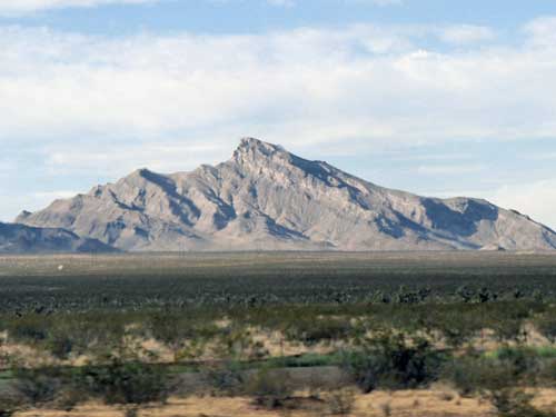
Moapa Peak has an elevation of 6,471 feet. While it is climbable, it's not for the faint of heart. The final stretch is a knife-edge summit ridge that is only a foot wide in some places, with sheer drops on either side!
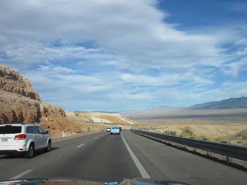
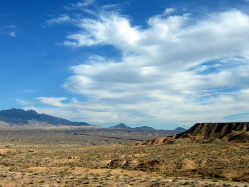
Entering greener valleys

Back to the typical billboards
return • continue

