ANGKOR (Day 16 - part 1)
At 8 am our taxi driver, Chetra, arrived. We had hired him for several days. We paid $40 for a 3-day pass to Angkor, then set out for the great temple complex.
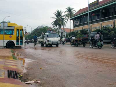
Rain soaked streets in Siem Reap
The Khmer Empire is officially known as the Angkor Empire. It lasted from 802 to 1431. At its peak, it covered large parts of Cambodia, Thailand, Laos, and southern Vietnam.
In the 7th century, the Khmer people lived along the Mekong river. There was constant fighting between the various local ruling overlords. In 802, King Jayavarman II declared himself "king of the world" and proclaimed independence for his lands. He eventually established himself in the Angkor region. Initially, the main religion was Hindu (until the end of the 1100s), then switched to Buddhism.
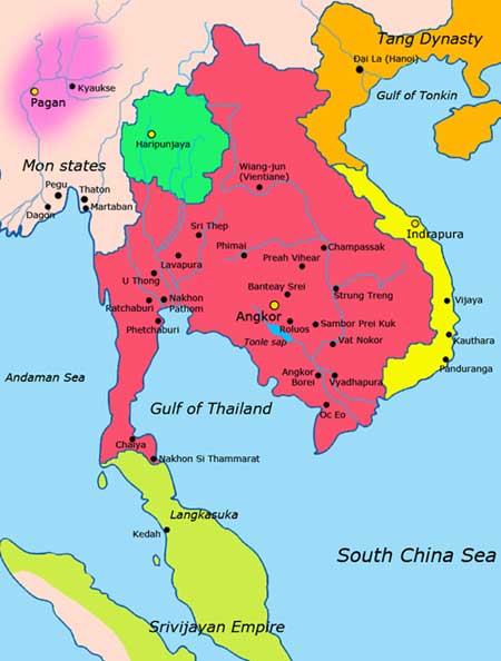
802 - 835: reign of King Jayavarman II, who created the empire
944–968: reign of Rajendravarman II, who built Pre Rup and East Mebon
1050–1066: reign of Udayadityavarman II, who built Baphuon, West Baray and West Mebon
During the Golden age of Angkor, it was the largest pre-industrial urban center in the world.
1113 - 1150: reign of Suryavarman II, who built Angkor Wat (only took 37 years to complete). He gained power by usurping and killing his great uncle. The period that followed him was filled with kings who reigned briefly and were violently overthrown by their successors.
1181 - 1219: reign of King Jayavarman VII , often considered as Cambodia's greatest king. He built Angkor Thom and Bayon, Ta Prohm (for his mother), Preah Khan (for his father), Banteay Kdei and Neak Pean. Even though he built many Buhddist temples, hospitals, rest houses and reservoirs, he was also accused of squandering money on extravagant projects
1219 - 1243: reign of his son, Indravarman II
1243–1295: reign of Jayavarman VIII. In contrast to his predecessors, he was a Hindu Shaivism and an aggressive opponent of Buddhism. He destroying many Buddha statues and converting the Buddhist temples to Hindu ones.
In the 1300s, the Khmer empire started a long and steady decline. There could have been many reasons, including the constant power struggles among the princes (among the 27 rulers, eleven lacked a legitimate claim to power). The change in religion also could have cause instability. Also, the Thai people began moving south, down from the border of China. They were originally hired by the Khmer as mercenaries, but soon established themselves as settlers. Their numbers rose and they created their own small kingdoms. As these kingdoms grew in power, they started to attack and annex territories
In 1421, the Thai kingdom of Ayutthaya took Angkor and officially ended the Khmer empire.
Angkor Archaeological Park covers over 150 square miles. It contains the ruins of the different capitals of the Khmer Empire.
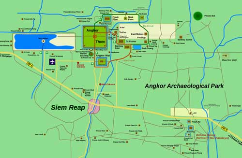
Click for a larger view
Some handy words often found in these names:
Banteay - citadel
Phnom - mountain
Prasat - tower
Preah - sacred
Thom - big, large
Angkor - city
Srei - woman
Prei - forest
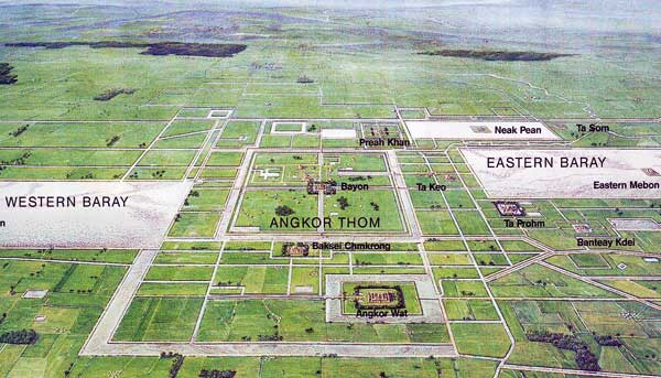
Our first stop was the south gate of the walled city of Angkor Thom (or Nokor Thom, meaning Great City). Established in the late 1100s, this was the last (and longest lasting) capital city of the Khmers. It covers almost 3.5 square miles and contains many different temples and monuments.
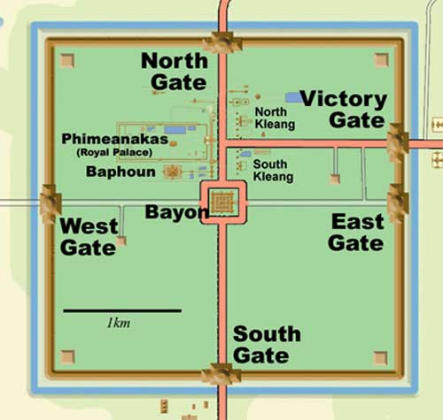
Angkor Thom
The palace grounds were divided into several sections, although many structures were built from perishable materials and have long since vanished. There would have been an actual palace, buildings for priests, soldiers and guards, as well as housing for the king's wives and concubines. The exact location of the royal palace is unknown.
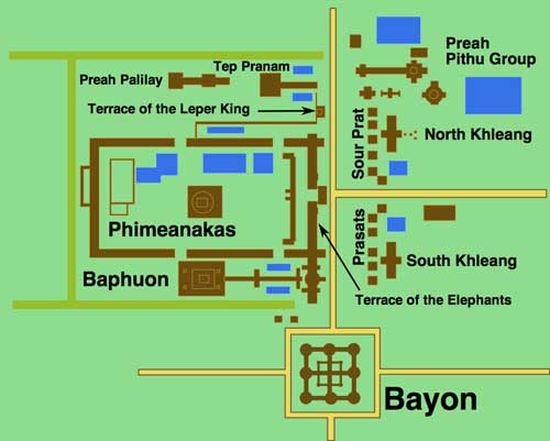
A close-up of the main remaining structures
We entered via the south gate.
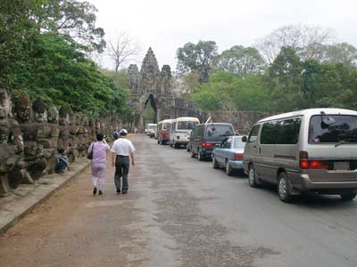
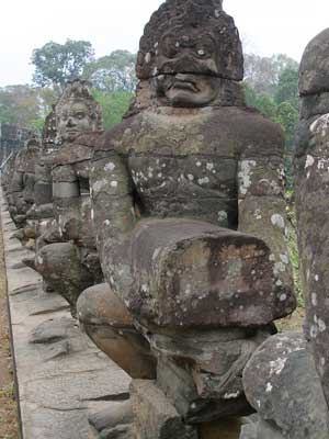
A bridge spans a wide moat. It was lined on both sides with a long row of statues pulling a giant snake (naga). It's based on the popular myth that the gods and demons were in a constant state of tug-of-war, which "churned the sea of milk." The devas (male gods; female ones would be devis) were on the left, and asuras (demons, sometimes though of as nature spirits) were on the right.
Naga bridges represent the crossing from the world of man into the world of the gods.
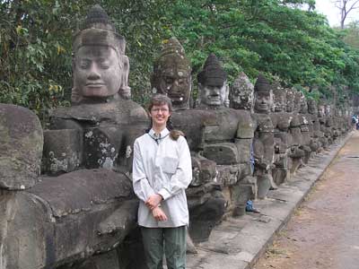
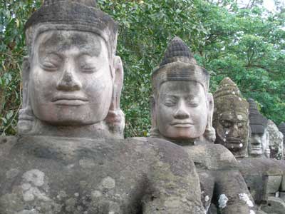
I stand among the devas.
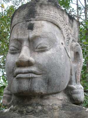
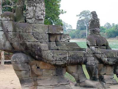
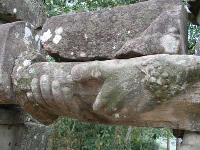
The anchorman was a much bigger dude!
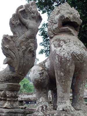
At the end of the "rope" (naga) was the head of the snake.
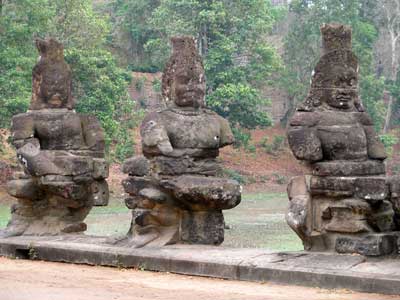
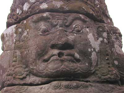
The asuras
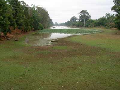
The moat was currently dry but is apparently full during the rainy season.
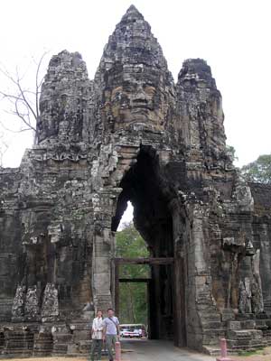
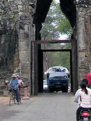
The south gate would have originally been sealed off with wooden doors.
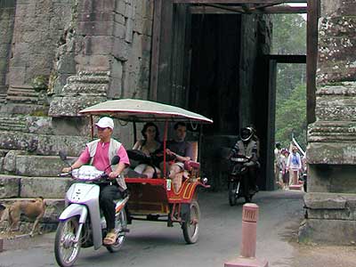
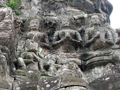
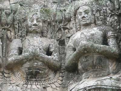
Carvings on the gate
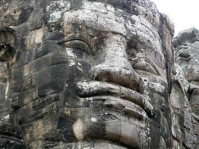
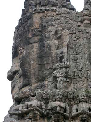
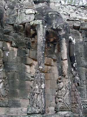
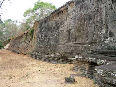
A 25-foot tall wall surrounds the complex.
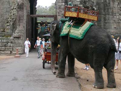
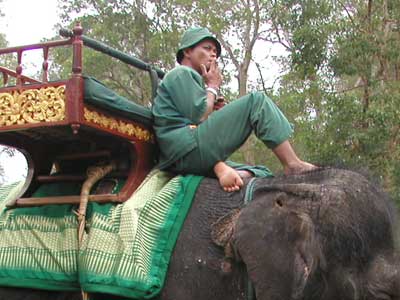
Waiting for his next fare
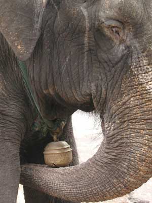
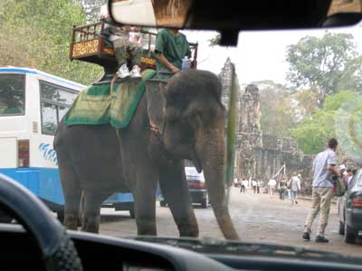
The elephant had a large bell.
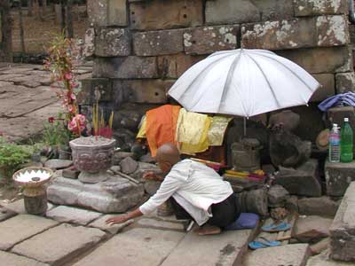
There were zillions of vendors everywhere.
We walked through and met Chetra on other side (he'd driven through gate). He then drove us to the central temple of Bayon.
The Khmer temple was built in the late 12th or early 13th century by King Jayavarman VII (reigned from about 1181–1218), who was the Mahayana Buddhist (one of the two main branches of Buddhism). It was later modified by Hindu and then Theravada Buddhist kings.
Its original name was Jayagiri (Victory Mountain). Occupying French forces later named it Banyan Temple, since there were lots of Buddhist images and the Buddha is said to have attained enlightenment under a Banyan tree. When locals came to renovate it, they mispronounced it as Bayon. And there ya have it.
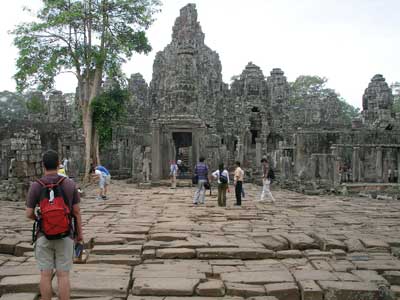
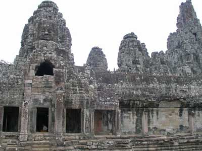
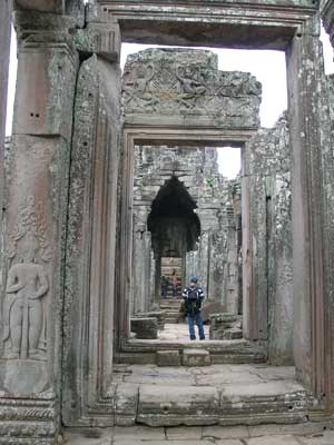
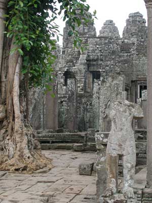
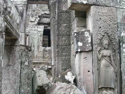
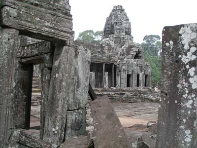
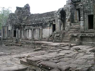
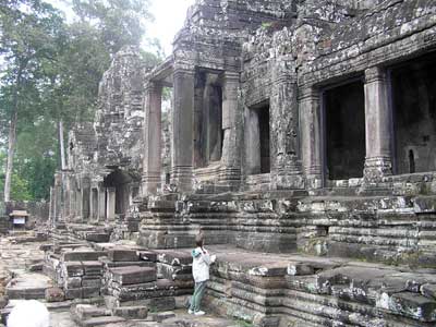
These buildings were massive!
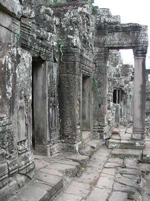
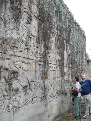
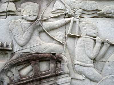
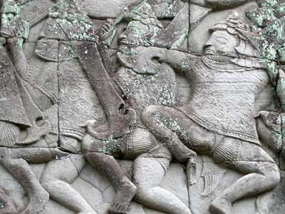
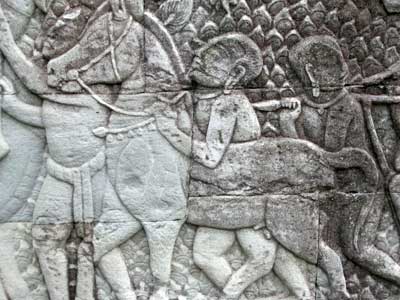
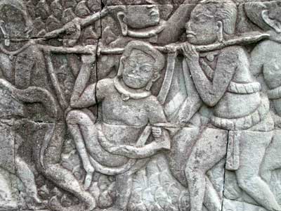
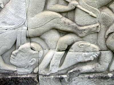
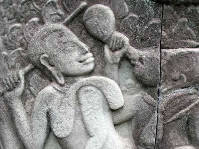
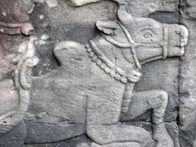
Stone carvings (bas-reliefs) covered the giant outer walls. These depicted historical events as well as scenes from the everyday life... wars, royalty, musicians, etc.
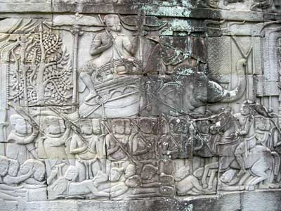
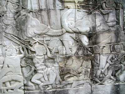
Battles using elephants
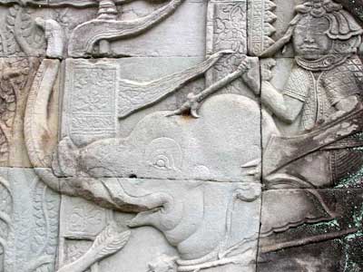
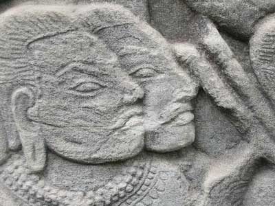
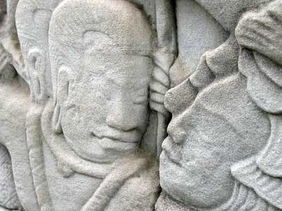
Note that both sides of the face can be seen.
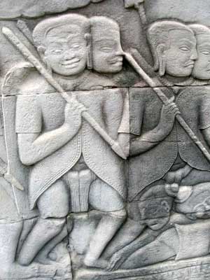
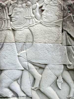
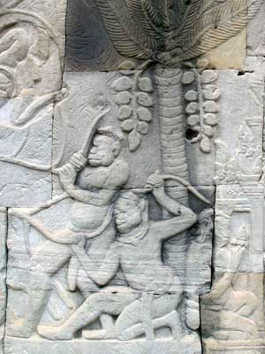
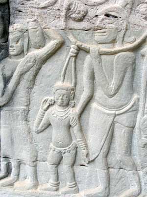
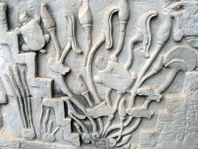
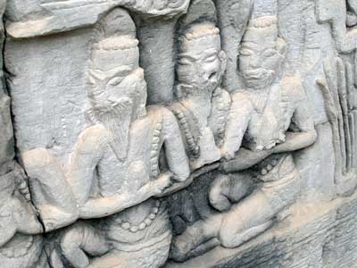
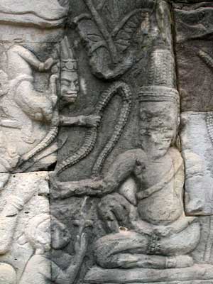
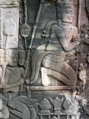
Scattered about in smaller areas were scenes from Hinduism.
return • continue

