We packed up, checked out, and drove the relatively short distance back to Fox Glacier. On the road to the glacier were year signs marking the receding of the glacier.
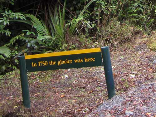
This was still a couple kilometers away and covered with dense forest...
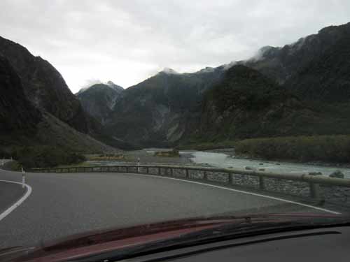
... with no glacier even remotely in sight yet.
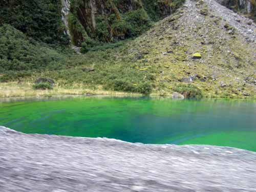
A very vivid pond!
We parked and read the numerous warning signs. There were interesting past newspaper articles detailing various glacier deaths.
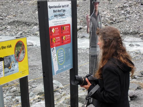
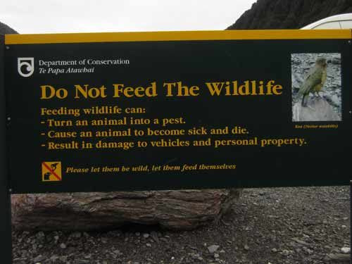
Yes... we know this to be true!
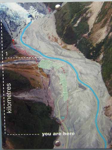
An aerial photo. It looks like there used to be an old path closer to the river.
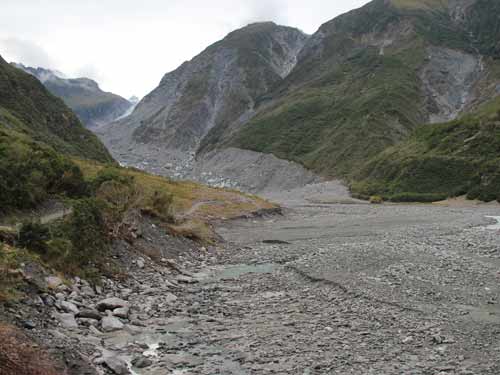
The glacier could only just barely be seen at the extreme far end of the valley.
The path was gradual at first then became VERY steep at the end. There was a river crossing as well as an avalanche danger zone.
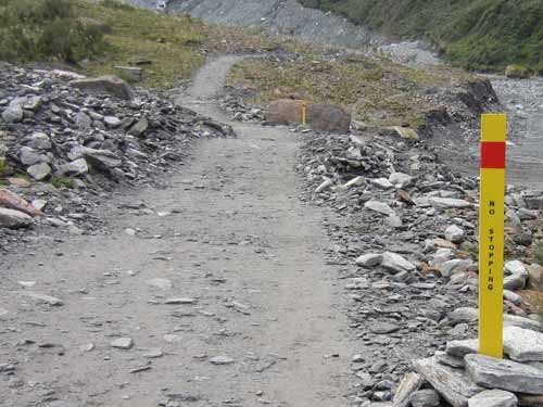
Why no stopping here?...
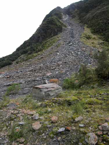
This is why! Some of these rocks were quite large.
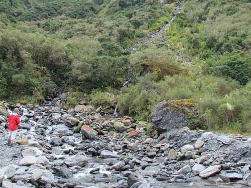
While there was not much water now, this river crossing could potentially be a challenge.
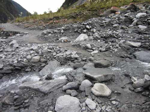
The water coming from the hills was clear, not grey.
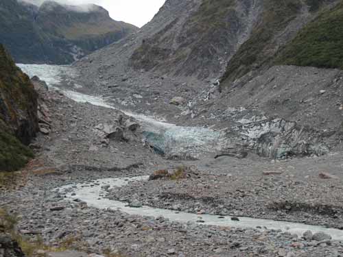
The glacier is in sight! It is named after Sir William Fox, Premier of New Zealand (1880 - 1893) and first tourist to visit it.
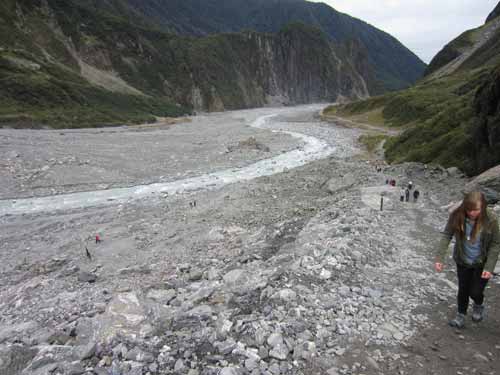
The very steep walk up
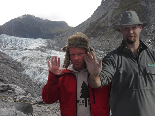
At the top, Regan and the cardboard ranger warn of going any closer.
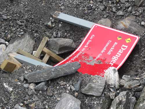
This warning sign should have listened to the warning signs and stayed within the safety zone.
It was hard to get a good feeling of scale of the glacier. In some ways it looked small; in others very large. There were several groups hiking on the ice. Apparently this glacier was a bit more stable than Franz Josef, or at least easier to access from the side (or slower moving part) of the glacier. The upper ice fall flowed 10 - 15 feet per day, whereas the slower lower part flowed only around 20 inches per day.
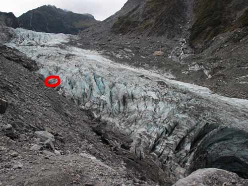
Hikers, far...
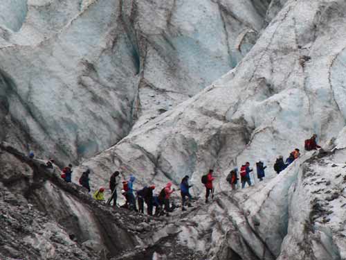
... and near.
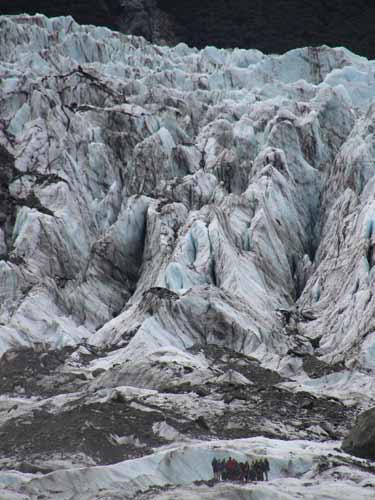
Another group, for size comparison
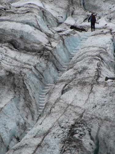
What a lovely job of stairs!
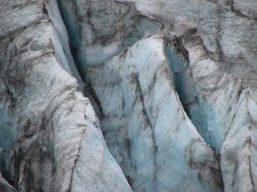
Without a known reference, these could be just about any size.
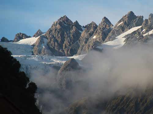
The surrounding mountains...
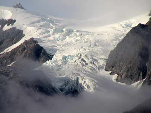
... also with glaciers.
After a bit of time at the top viewing area, we walked down to a lower one near the run-off river.
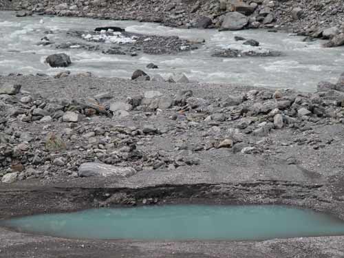
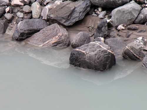
Milky reflections
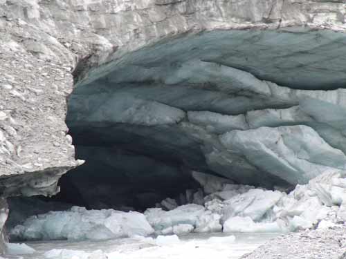
The river flowed from this enormous cavern.
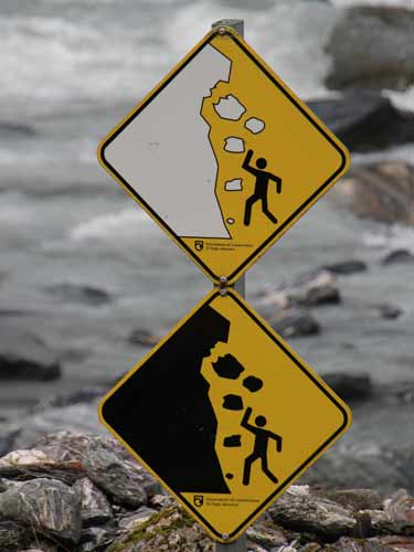
Color-coded danger
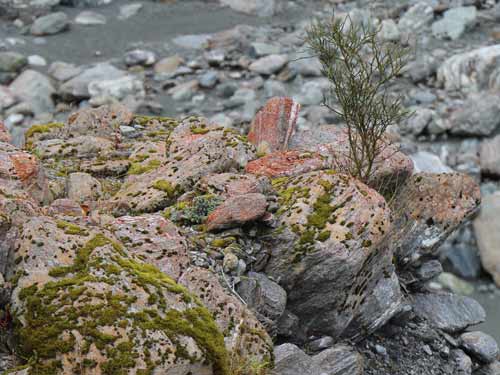
The forest was beginning to reclaim the valley.
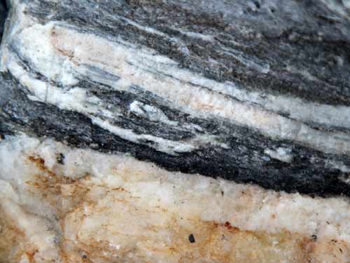
The rocks were comprised of a wide range of colors and patterns.
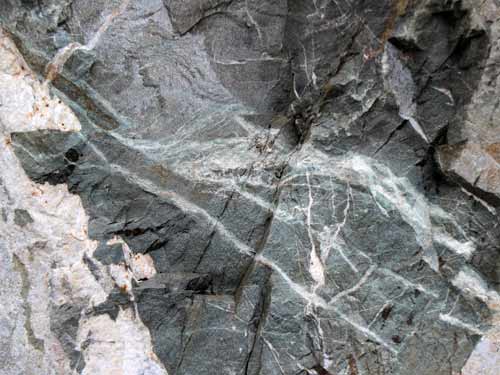
This one almost looks like the glacial river that created it.
We then drove to nearby Lake Matheson. It supposedly gives absolutely amazing postcard views of snow-capped peaks reflected in incredibly still water... unless of course it is overcast and you see grey reflected in grey. We had some lunch in the car then took the 20 minute walk to Jetty View Point anyway.
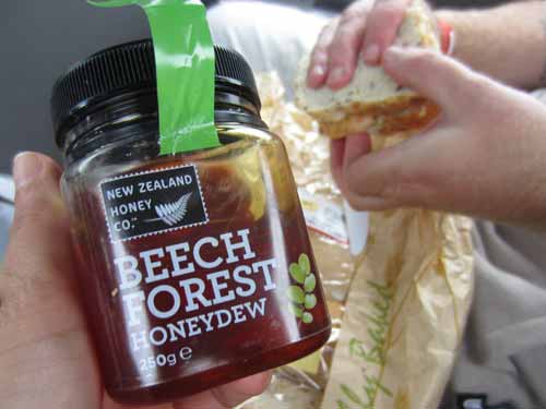
Mmmm... honey and other yummy things
It took quite a while to even find the lake... first there was expansive cow fields, then a swinging bridge over a river, and finally a lush forest. There were many identification signs for the trees, so that was quite fun.
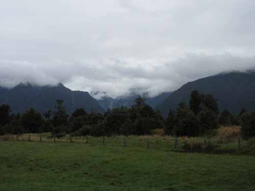
The initial view was of cow pastures.
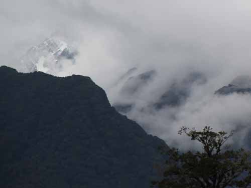
Wait... could it be a piece of snow-capped peak??
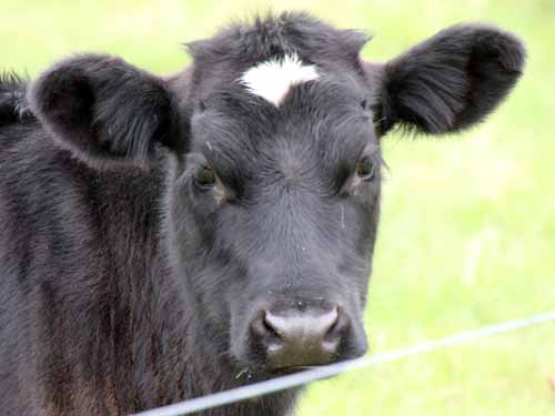
He felt our pain.
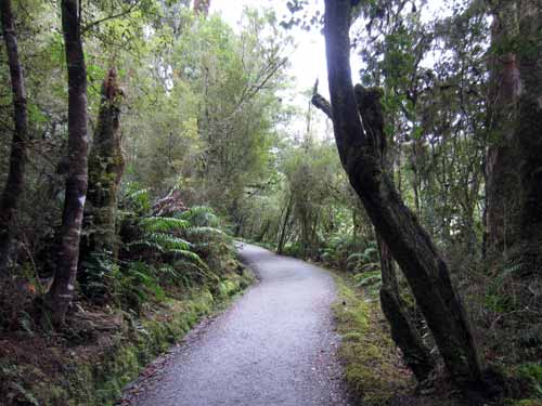
The trail
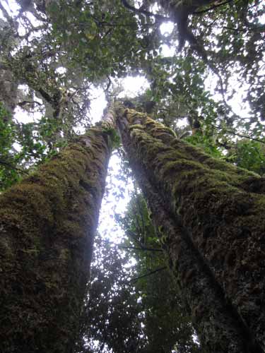
The White Pine (or Kahikatea) are New Zealand's tallest tree. The straight, lightweight timber was used to make spears and canoes.
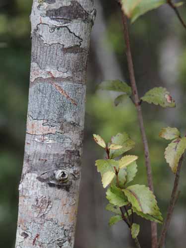
The Celery Pine (or Mountain Toa Toa) was not valued for its timber but rather its sap to make a brownish dye.
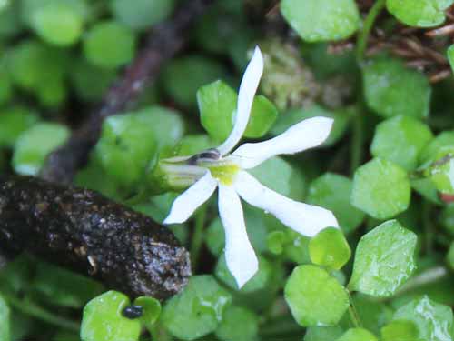
The very very tiny flowers didn't get any kind of sign.
We eventually reached a viewing platform over the lake. As advertised, the view probably COULD be quite stunning.
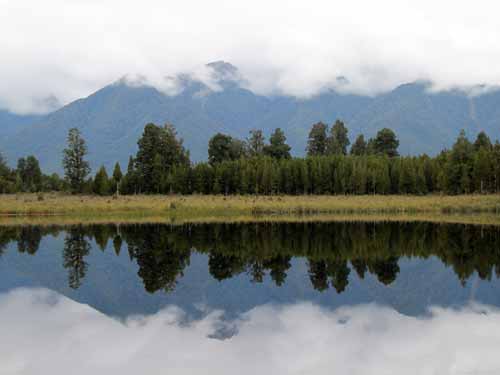
Ha, I bet you won't find THIS unimpressive shot on any tourist postcard.
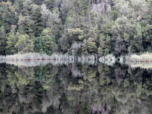
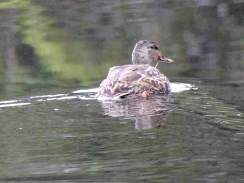
A duck had to ruin things anyway.
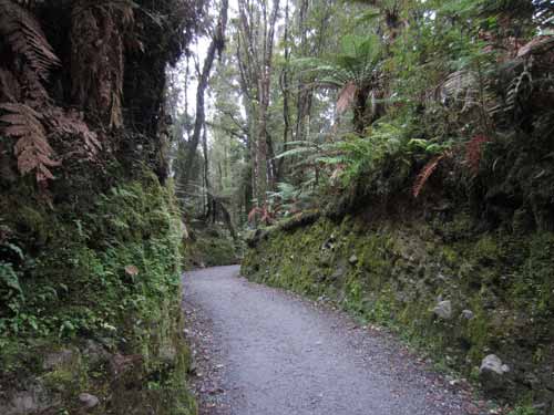
Walking back to the car among the moss and ferns
On the walk back, we passed by a couple who had been on our glacier tour. That often seems to be the case when travelling, that you tend to run into the same tourists over and over because you are all en route doing the same touristy things.

