PUUC ROUTE RUINS (Day 3)
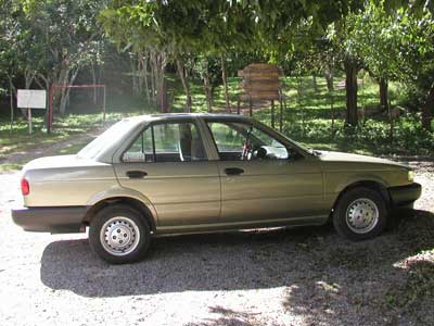
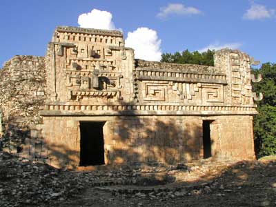
We rented a car for the day (a Nissan Tsuru) and drove south along the Ruta Pucc (the Puuc Route) to some of the local ruins. The architecture in this region is distinct from other sites in the Yucatan and is known as the Puuc style. The scarcity of water in the region meant that Chac (the rain god or sky serpent) was very important, hence his image everywhere.
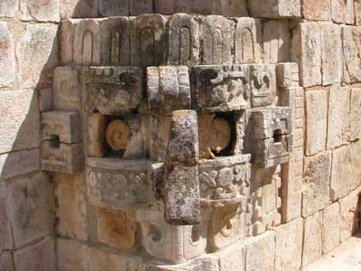
Our first stop was Uxmal, which means “that which was built three times.” Technically, however, it was actually constructed five times. Although the site dates back to around 500 BC, most of the construction was carried out from 850 - 925. The city was mostly abandoned by the year 1000.
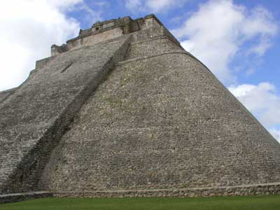
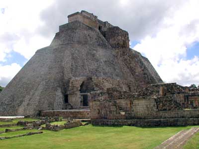
Casa de Adivino (the Magician’s Pyramid) is is about 130 feet tall. This is the fifth temple built on this spot.
It has two courtyards, Cudrangulo de los Pajaros (Quadrangle of the Birds)...
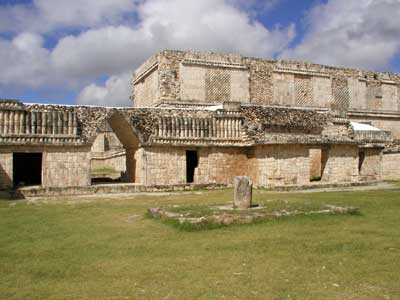
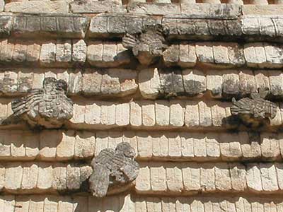
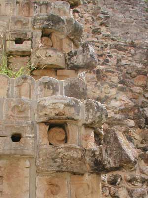
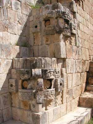
... and the Nun’s Quadrangle (Cudrangulor de las Monjas), which was probably a military academy, royal school or palace complex.
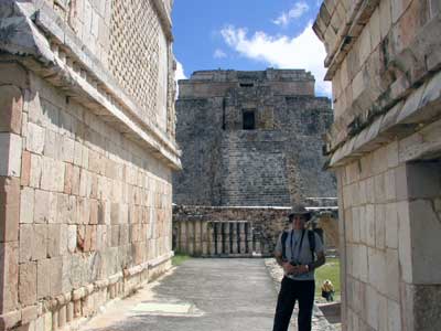
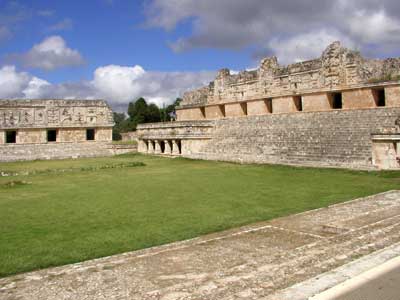
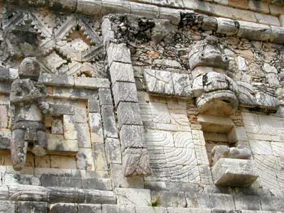
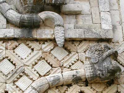
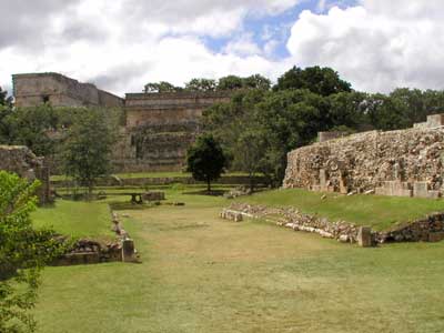
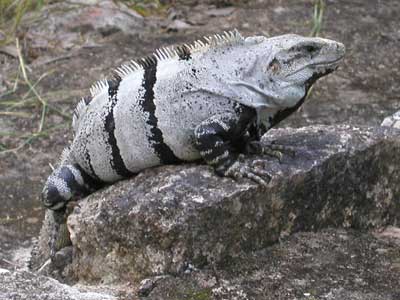
Nearby was also a small Juego de Pelota (ball court). Iguanas rested quietly about the complex.
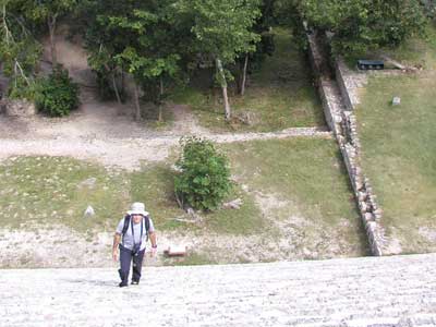
We climbed the 100-foot tall Grand Pyramid (Gran Piramide or Templo Mayor) with Macaw Temple on Top.
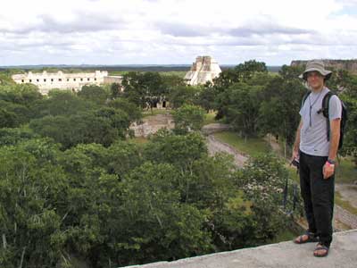
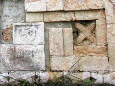
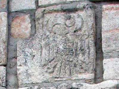
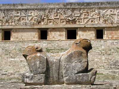
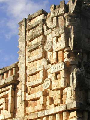
We walked around the Palacio del Gobernador (Governor's Palace) with its throne of the jaguar. The facade is over 300 feet long with its upper part being covered with Chac faces and geometric designs. Puuc walls were traditionally filled with rubble, faced with cement and then covered with a thin layer of limestone squares.
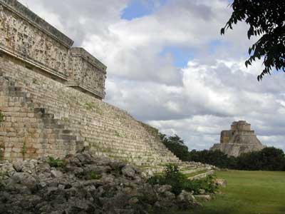
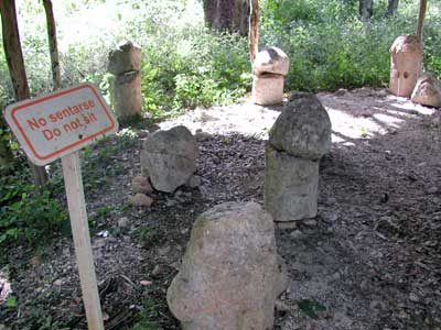
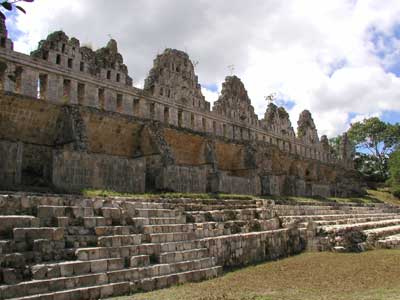
A jungle path led us past some interesting stone phalluses to El Palomar (House of the Doves). The roofcomb reminded explorers of Moorish pigeon houses in Spain and Northern Africa.
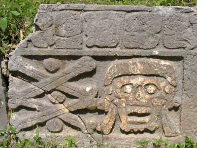
On the way back we passed Grupo del Cemetario with lots of skulls on stone slabs.
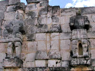
The next stop was Kabah (Mighty Hand) with its famous El Palacio de los Mascaones (Palace of Masks) with nearly 300 Chac images. There are no cenotes in this region, so the people here had to rely solely on rain. The temple is also known as Codz Poop (pronounced Codes Pope), meaning Rolled Mat from the repetitive pattern the images make.
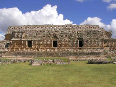
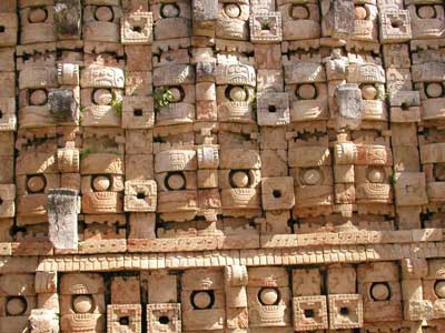
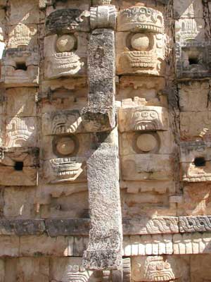
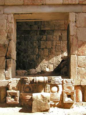
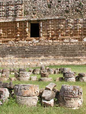
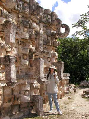
Also in the complex were El Palacio and the Templo de las Columnas (Temple of Columns).
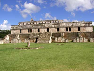
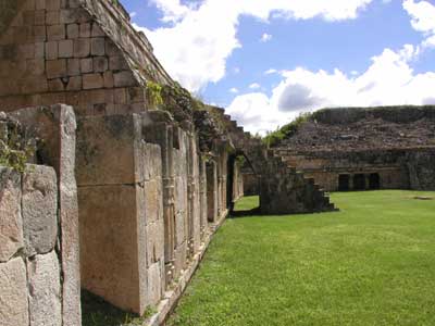
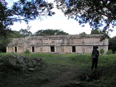
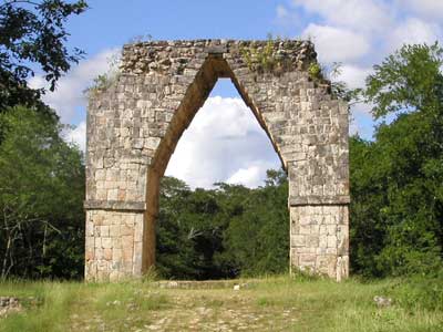
Across the street was the Arch of Kabah. This was a symbolic marker for starting point of Sacbe or White Road, the elevated ceremonial road going to Uxmal in one direction and Labna in the other.
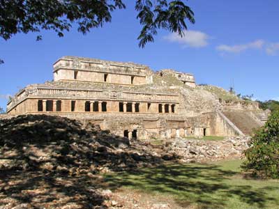
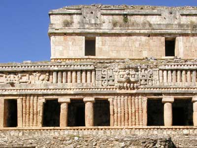
We then stopped at Sayil, meaning Place of Ants, which are apparently prevalent the area. The enormous El Palacio was a three tiered building some 280 feet long. It was probably home to about 350 people.
We trekked through the jungle walk to a statue of “yum keep”... a VERY well hung fertility god, and Templo de las Jambas Jeroglíficas (Temple of the Heiroglyphic Doorway) which was half buried in the ground.
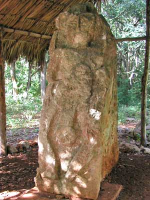
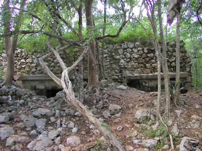
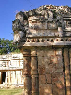
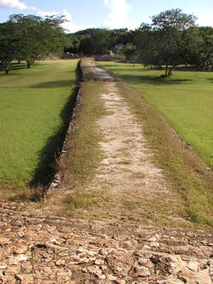
Just down the street was Labna. It is believed that in the 9th century some 3,000 Mayans lived here. El Palacio (the Palace) was long and decorative. Again we encountered the Sac-be. Since the Mayans never invented the wheel, it wasn't a concern that the road was elevated or even had stairs in it. Even if they had had carts, they had no large animals to pull them.
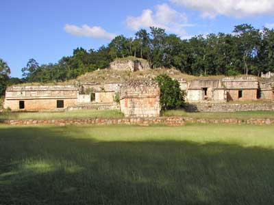
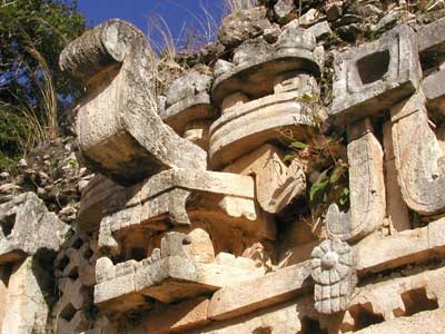
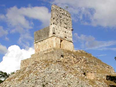
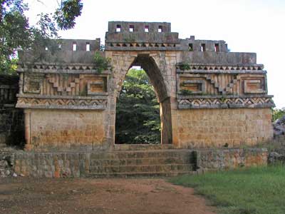
El Mirador (meaning Lookout) was set on a very tall hill. It is thought that the roofcomb was once painted bright red. El Arco (the Arch) was once part of a building that separated two courtyards.
Our final stop was Xlapak meaning Old Walls, which is a general term among the local people for ancient ruins.
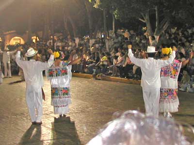
We returned to town and dropped off the car. We had dinner then watched some traditional dances called Vaquerias. The dance and music reflect a mixture of Spanish and Mayan cultures and date back to the days of the Vaqueria Regional, a local festival that celebrated the branding of cattle on neighboring haciendas.
return • continue

