At mile marker 469.6, we reached a rock ledge 240 feet above the Animas River. The High Line, as it is known, was created by extensive black powder blasting. Area miners were often hired to do much of this work.
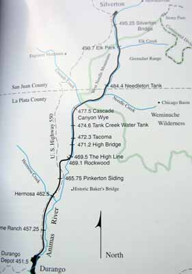
Click for a larger version of our route map
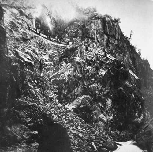
The High Line taken in 1882, just months after the line had been completed. The large amount of rock debris was caused by all the blasting.
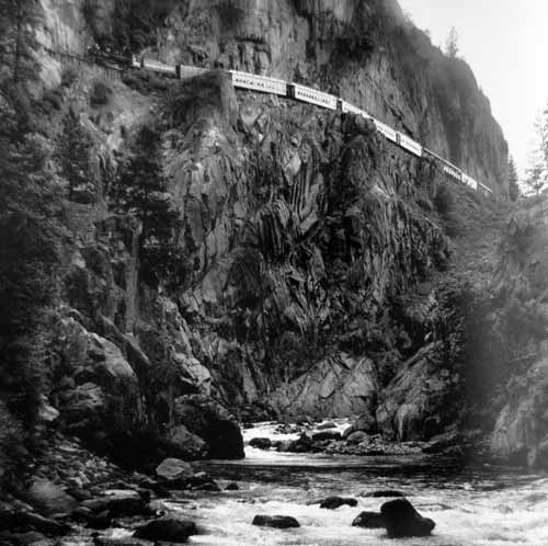
A recent photo from the same spot. The incredible force of the river has long since cleared away all the debris.
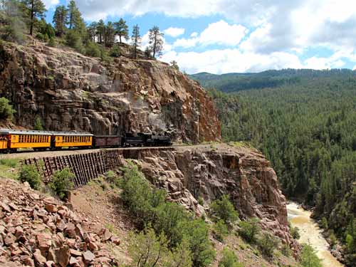
Crossing the High Line
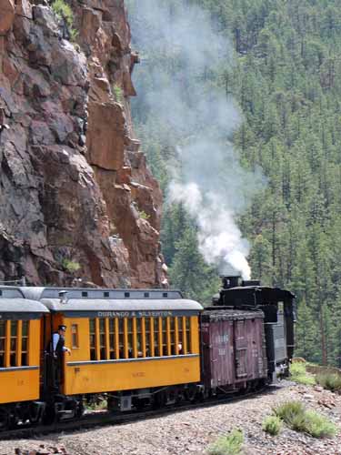
This portion of the track also has the tightest curve (28 degrees) of the trip.
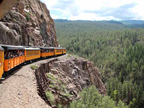
The wheels squeal on the tracks as the train makes the sharp turn.
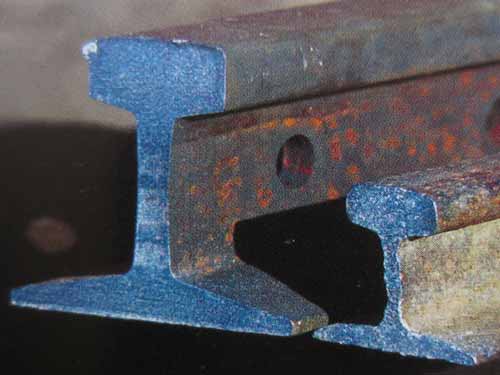
Book photo of the tracks. The original 30-pound rail (right) and today's 80-pound rail. The original lightweight track couldn't support increasingly heavier locomotives and equipment. The original track began being replaced as early as the 1880's.
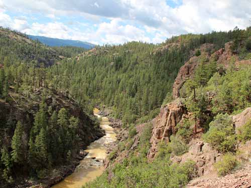
Looking back down the river...
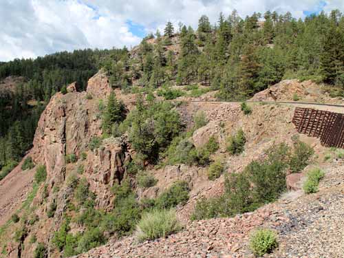
... and at the track we had just crossed.
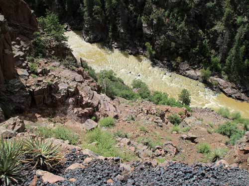
A long way down!
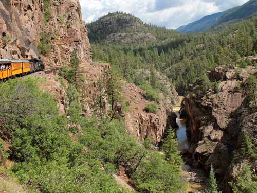
The next bend
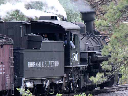
Continuing on
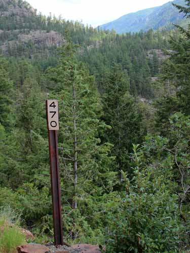
A mile marker
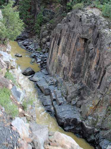
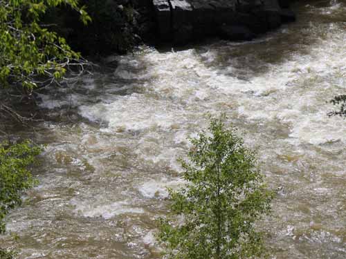
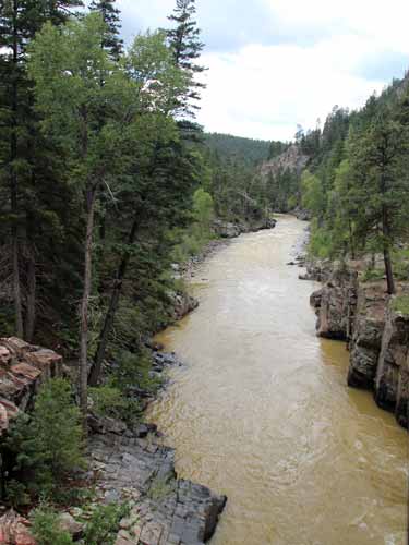
The Animas River is 126 miles long (203 km). It starts high in San Juan Mountains of Colorado and flows south... through the Animas Canyon, past Durango, and into New Mexico to its confluence with the San Juan River. Its name was first recorded in 1765 as "Rio de las Animas" (River of Souls) by Spanish explorer Juan Maria de Rivera.
471.23 - High Bridge is 190 feet long. It was built in 1894 from steel and timber to replace the 1881 version made of all wood. This is where the train clears out any sediment that accumulates on the bottom of the boiler by blowing it out the side.
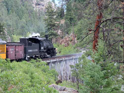
Crossing the bridge...
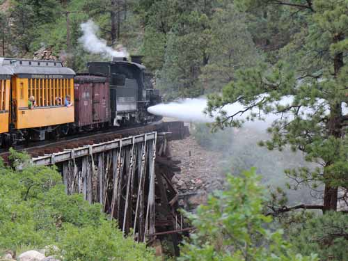
... and literally blowing off steam.
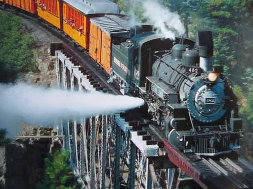
Book photo
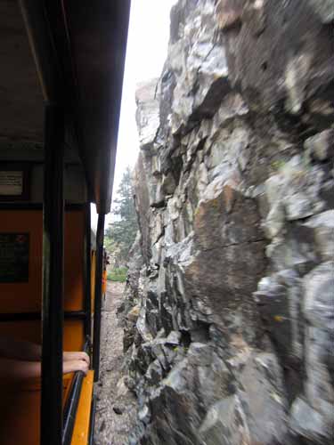
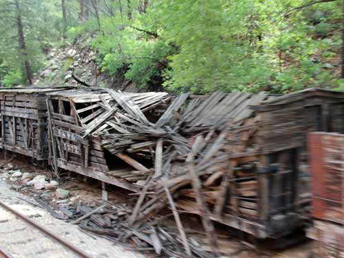
Freight cars used to be even wider than our passenger car and would come within a foot of the cliffs.
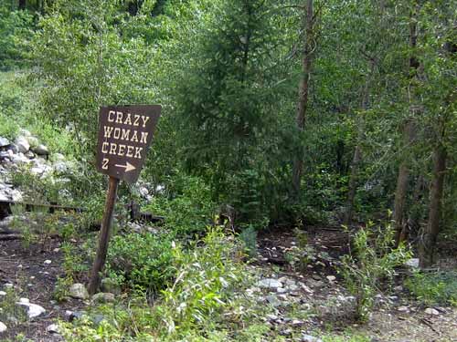
Does this mean there were TWO crazy women in these hills??
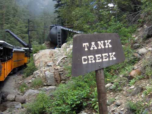
474.65 Tank Creek water tank is the first of two stops for the train on its way north to Silverton. The train's water supply is almost depleted at this point and it could require up to 4,500 gallons of water to refill. The original wooden tanks was removed in 1966. Above the tank (not visible from the train) is a dam to ensure a constant supply of water throughout the year.
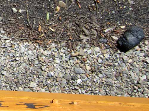
Many lumps of coal lay scattered alongside the tracks.
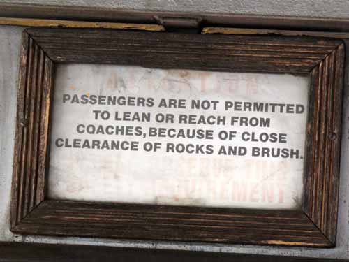
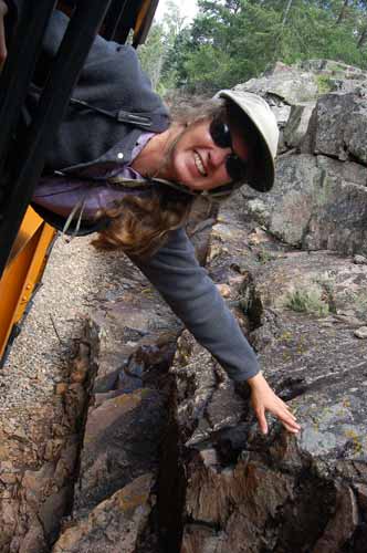
Heehee! I am being soooooo bad! (of course the train is stopped for retanking)
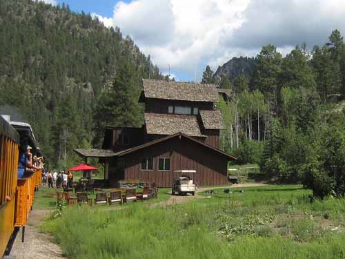
Passing Tall Timber Resort
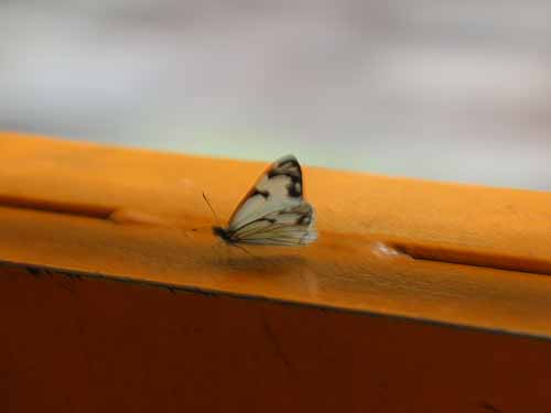
A butterfly hangs on as best it can for a brief, free ride!
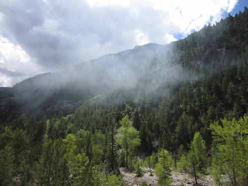
A mixture of clouds and train smoke
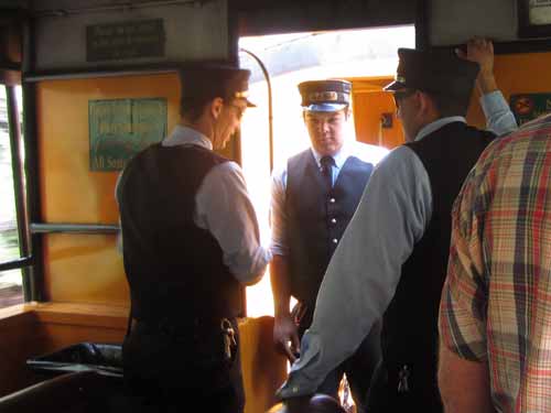
The conductors gather to discuss a rock that is caught in one of the wheels of our car.

Covered with soot from the engine smoke
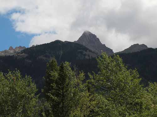
Pigeon Peak (center) with an elevation of 13,961 feet and Turret Peak (right) with an elevation of 13,841 feet are in the Needle Mountain Range.
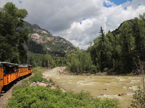
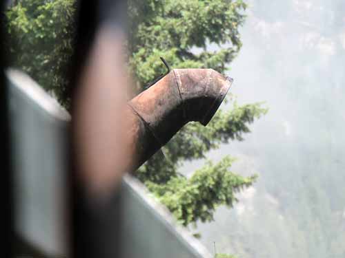
Retanking water for the second time at Needleton, mile 484.5
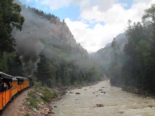
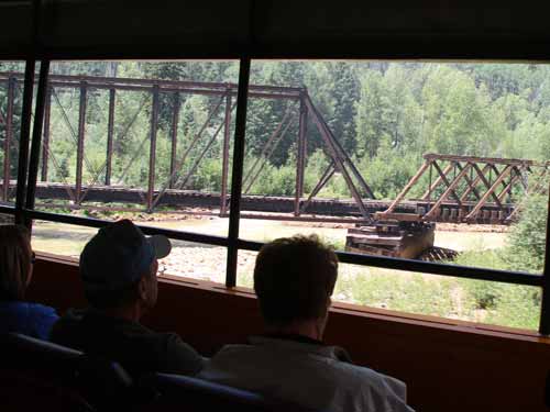
Mile 489.87, the 55-foot Elk Park Bridge was built in 1964. Periodic flooding has drastically weakened it.
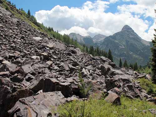
Mt. Garfield
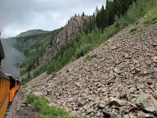
This slide area frequently needs clearing in the spring to let the first trains of the season pass through.
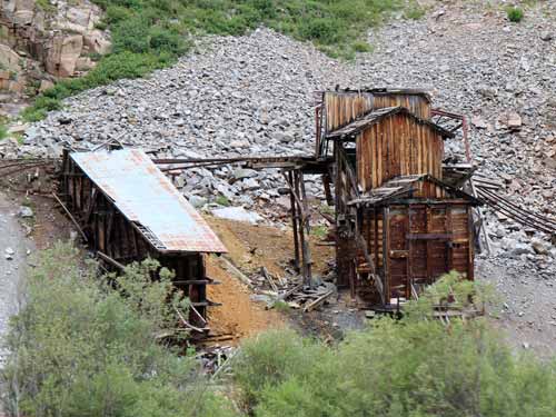
Some old mining remains
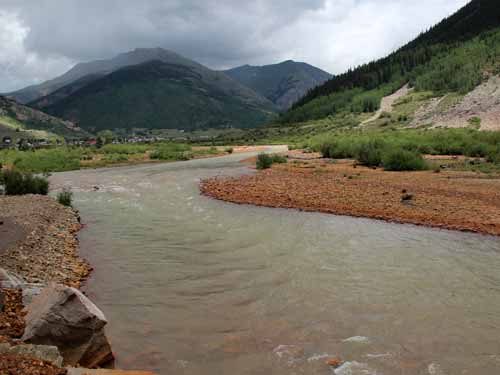
A glimpse of Silverton in the distance
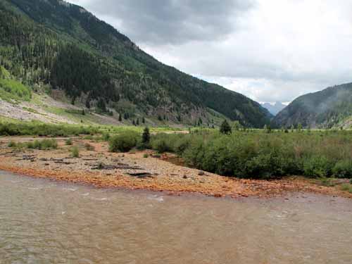
A quick look behind us