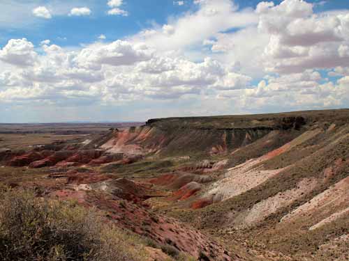
The view from Nizhoni Point
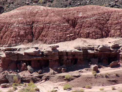
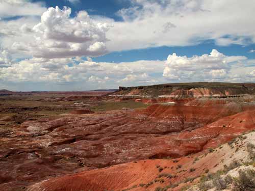
Lacey Point is named after Iowa Congressman John Fletcher Lacey who strongly advocated the protection of public lands in the early 1900's.
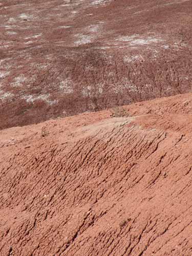
Much of the rock is soft, fine-grained mudstone or claystone. The red color comes from the presence of iron minerals.
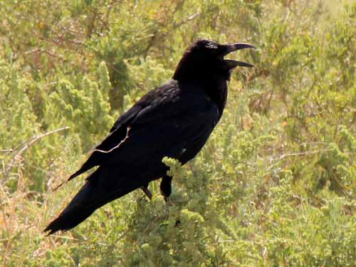
Crows and ravens can be hard to tell apart. The best clue is usually the voice, but species differ in other subtle ways too. The Chihuahuan Raven is intermediate between crows and ravens in many ways. It has the shape of a raven but is the size of a crow.
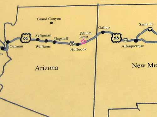
Just ahead of us lay the historic Route 66, on its journey of over two thousand miles from Chicago to Los Angeles.
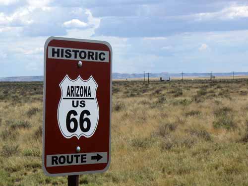
Telephone poles line the road in the background.
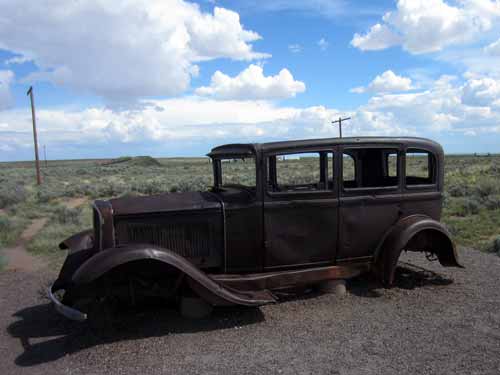
A symbol of the freedom of the past
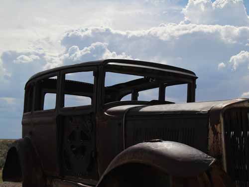
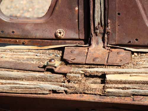
Constructed of metal and wood
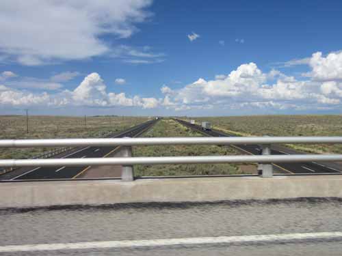
Crossing over the historic highway (this was the road we came in on from Albuquerque)
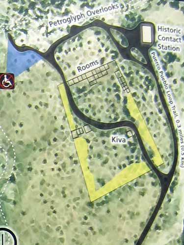
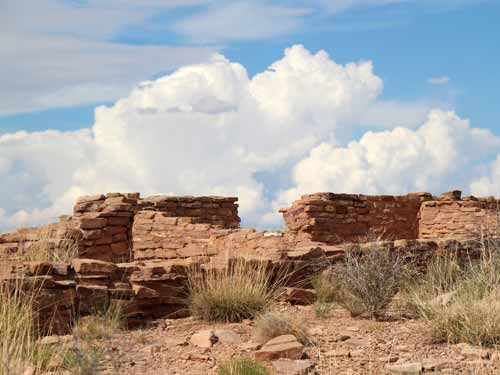
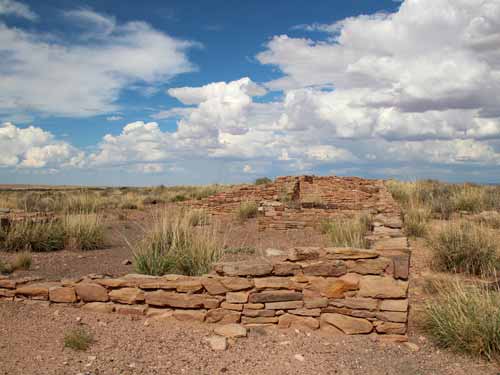
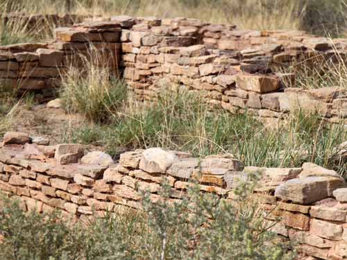
Located along the Rio Puerco (river), the Puerco Pueblo is an old settlement built by the ancestral Puebloans from shaped sandstone blocks mortared together with mud. The hundred-room, one-story village (with a possible population of 200) was occupied from 1250 - 1380. The river also provided a travel corridor across the Colorado Plateau. People have inhabited this region for over 13,000 years.
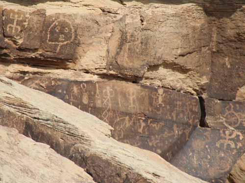
There were numerous petroglyphs. One of them is carved in the cleft of a boulder. Every solstice, a beam of sun moves in and rests exactly in the center of the spiral. Early peoples used solar calendars to plan their lives around the changing seasons, particularly with regards to agriculture.
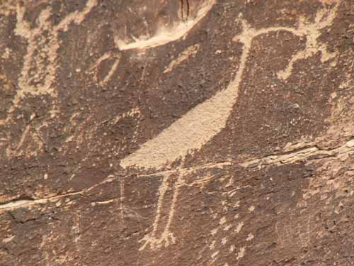
Perhaps this image depicts the clan ties of the artist (with a mother from the Crane Clan and a father from the Frog clan). It could also be the story about the giant bird that comes to villages to eat bad children. It could just as easily be showing reverence to the water and its prolific life (such as the White-faced Ibis).
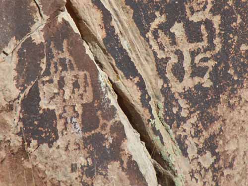
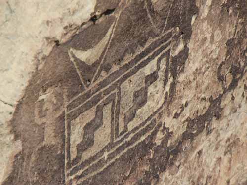
This is a migration symbol, based on the oral histories of present-day tribes.
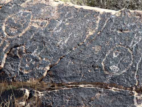
The faces are Kachinas (or Spirit Beings). This belief arrived in this region around 1300.
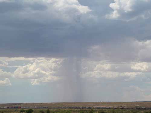
Rain falls in the background as a very long train makes its way along the Santa Fe Railroad. This important line was built across the Southwest in 1882, creating many new towns. In the 1930's, tours of the petrified forest were set up for train passengers who might want a quick stop.
Newspaper Rock is one of the largest concentration of petroglyphs in the park. More than 650 images (ranging from 650 to 2,000 years old) cover the surrounding boulders.
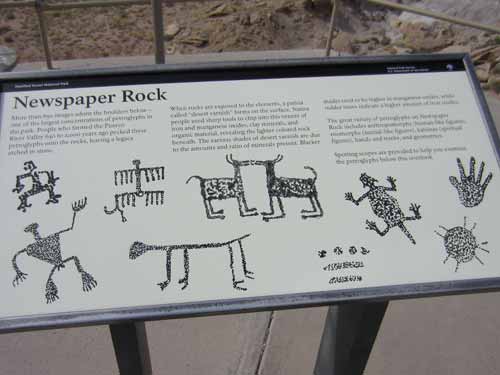
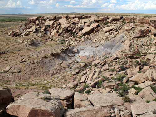
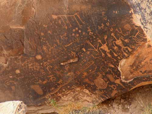
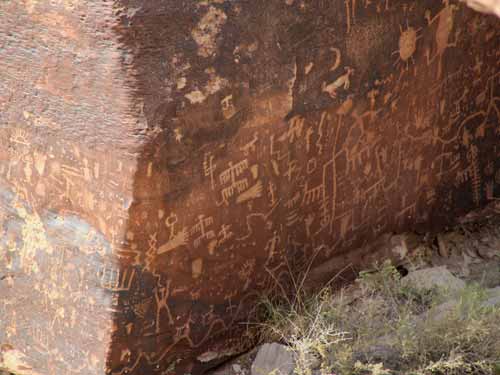
We continued heading south toward the other end of the park.
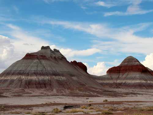
It's fairly obvious why these formations are called The Tepees.
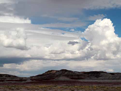
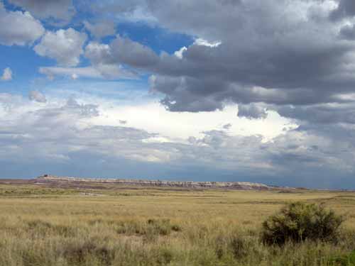
The Blue Mesa rests far in the distance.
The Agate Bridge is actually a natural creation. Centuries of floodwaters washed out the softer sandstone from underneath this 110-foot petrified log, creating a gully. In 1911, supports were added. In 1917, a span of concrete was placed underneath it. Policies of such interference have since changed and had it been discovered today, it would have been left to its own fate.
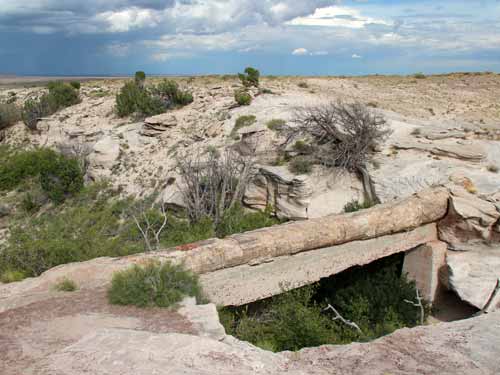
The bridge with the concrete beam
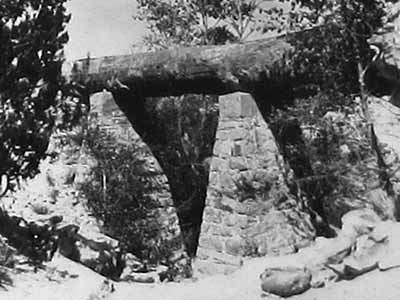
The original supports in 1911
Rainstorms surrounded us completely... and yet we remained dry wherever we went.
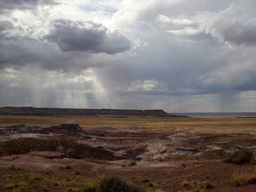
Virga is the observable streak of precipitation that falls from a cloud but evaporates or sublimes before reaching the ground. At high altitudes, the precipitation falls mainly as ice crystals before melting and finally evaporating.
Jasper Forest is a lookout over a valley strewn with pieces of petrified wood. As the softer bluffs eroded, the harder wood tumbled out. This is only a small portion of what was originally there. The area was plundered in the late 19th and early 20th century by commercial collectors to sell as souvenirs. The nearby train also provided early travelers an easy way to take as much as they wanted.
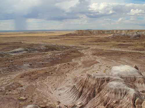
The bluffs (to the right) erode...
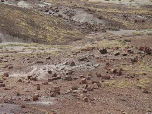
... filling the valley with petrified wood.
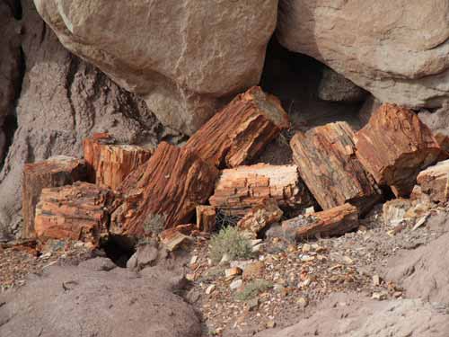
Quite a contrast to the rocks!

