The rain stopped soon after dark but things were still quite wet in the morning. We ate some canned apricots and cereal, packed up, and were on the road by 8:15 am. We wrapped our way along the narrow, twisty lanes of Highway 82, stopping briefly at a lovely ruined building.
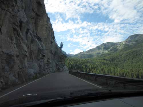
The narrow one-lane highway
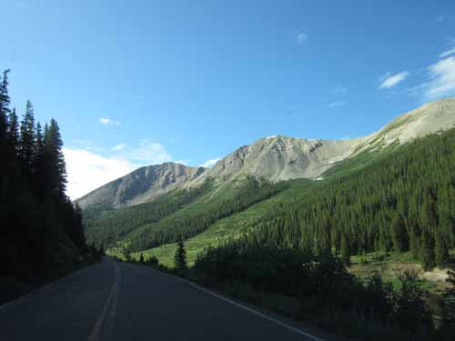
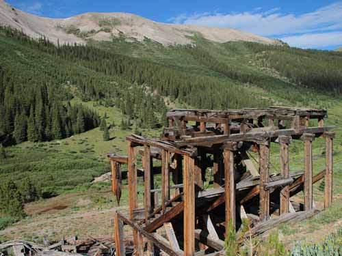
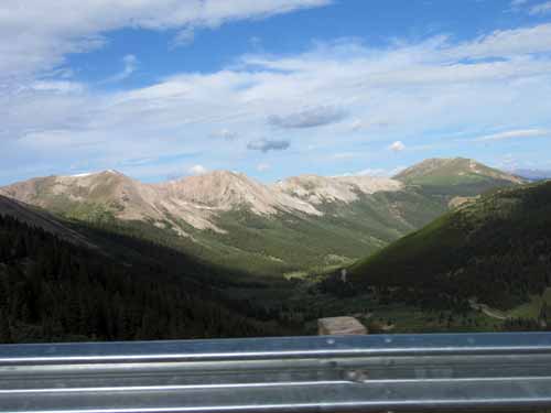
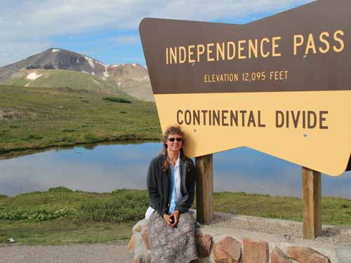
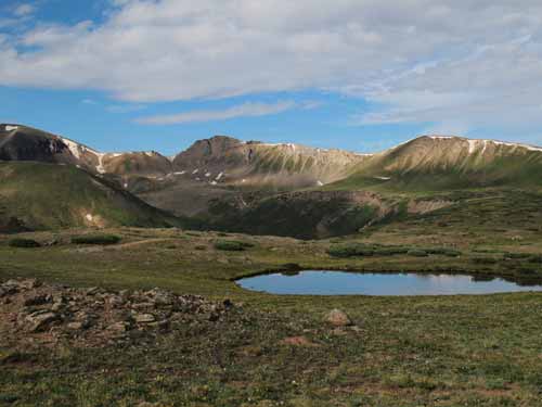
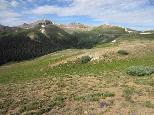
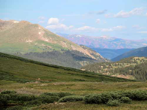
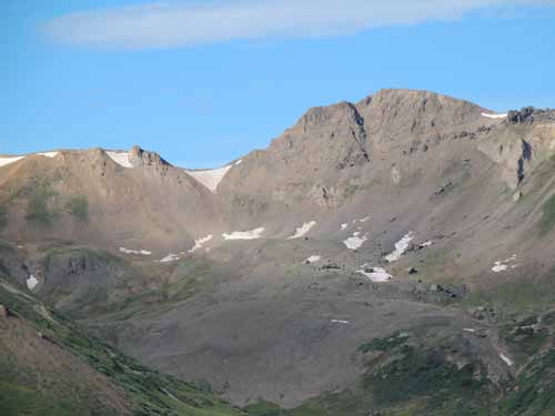
At the top of the highway, we stopped at Independence Pass. Originally known as Hunter Pass, this pass crosses the Continental Divide through the Sawatch Range at an elevation of 12,095 feet (3,687 meters).
The pass was formed by glaciers and was first recorded by Zebulon Pike in 1806. Back then, it was the limit of European settlement in the area, with the land to the west being reserved for the Utes. A group of prospectors from Leadville, defying the governor's order, crossed the pass on the 4th of July, 1879, giving it its current name.
We took a short walk around. It was definitely cool but not bitter cold.
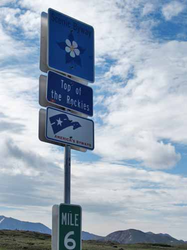
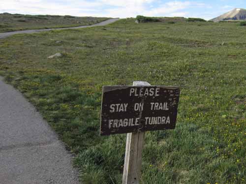
In spite of the nice paved trail and clear signs, people still walked wherever they wished. Known as alpine tundra, plants up here grow very slowly because of the harsh conditions. Not unlike the desert, one footstep can do dozens (and dozens) of years of damage.

Click for a larger image
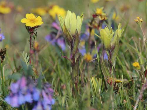
Some cinquefoil and sulpher paintbrush

A bumblebee investigates some penstemons.
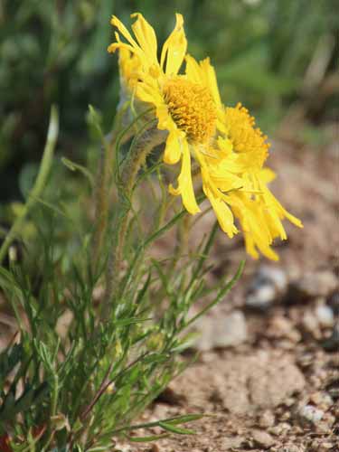
Known as Old Man of the Mountain, probably for the grey hairs on its stem (sometimes so thick that they almost obscure the flower), this sunflower grows facing the sun.
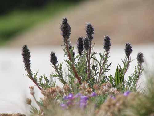
Some Purple Fringe, with its tiny leaves
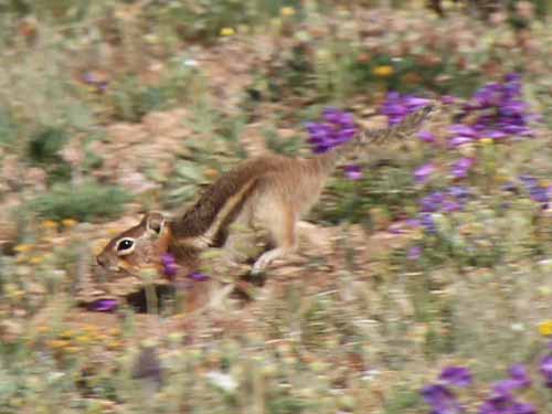
A ground squirrel races past.
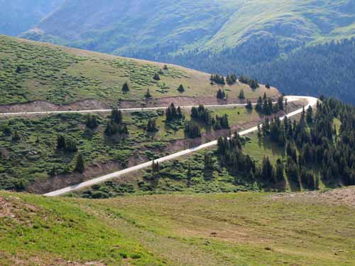
Looking at the road we have to go down on. In 1927, the state replaced the old stage road with this current road.
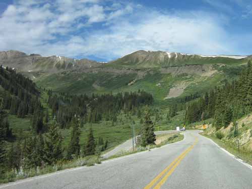
We continued on... down the steep pass, a brief stop at Twin Lakes, through Leadville, and onto Highway 91. This took us up and over Fremont Pass where there was the historic old Climax mine.
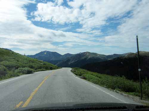
The very tall pole to the right is for the snow plows. Yes, the snow does get that high here!
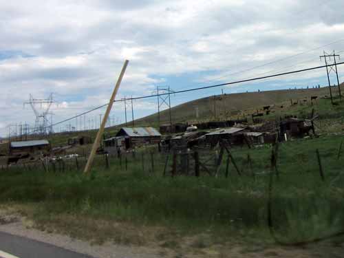
What a frightening place to have to live!
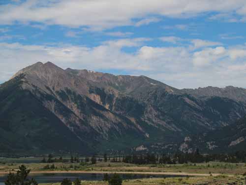
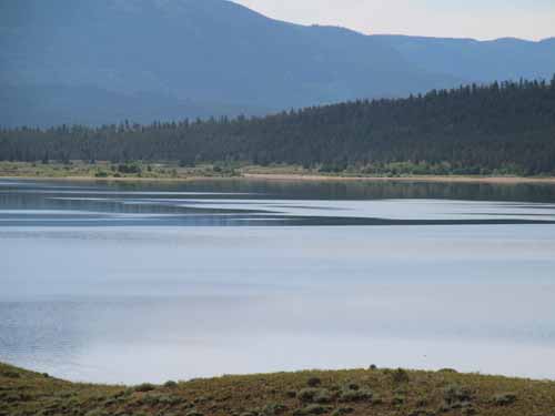
The view at Twin Lakes
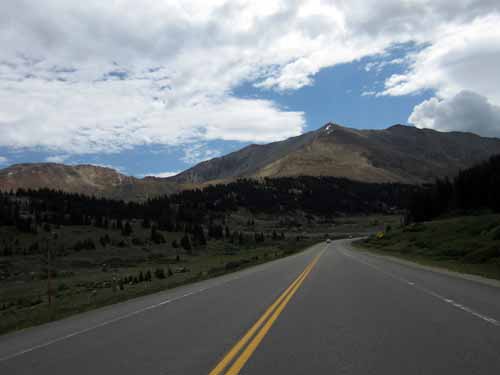
While looking for gold, dark veins of molybdenite (molybdenum sulfide) were discovered in 1879... but the prospectors had no idea what the soft, greasy-feeling ore was. Although when steelmakers found it useful as an alloy in producing hard steel, the first ore shipments from the Climax mine deposit began in 1915.
But demand for the ore fell drastically at the end of World War I and the mine shut down in 1919. But by World War II, it was once again considered the highest priority mine in the country. By 1991, no more ore could be extracted profitably and reclamation of some of the land was begun.
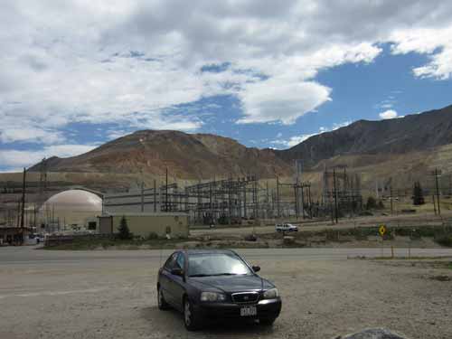
Behind my car are Bartlett Mountain (left) and Clinton Peak (right).
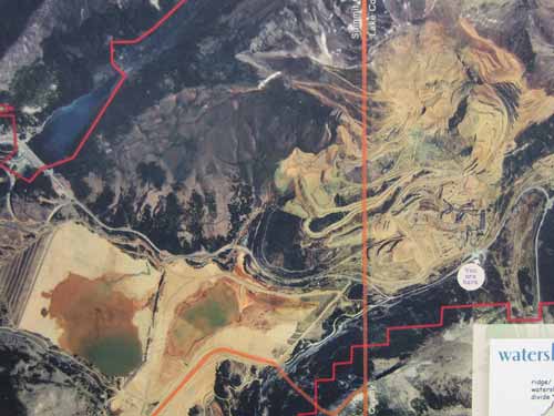
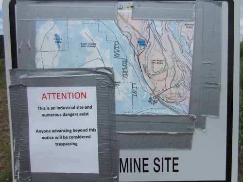
An aerial map of the area. 80 years of mining disturbed more than five square miles of land and altered the course of a stream. Land reclamation is slow up here above 11,000 feet, where the growing season is about 32 days long.
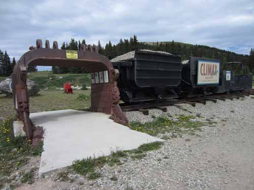
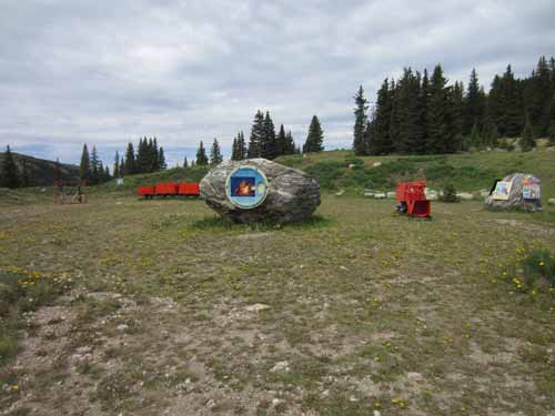
The field was filled with old equipment and informative signs.
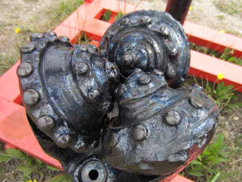
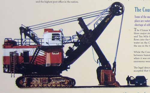
Wow! That's big!
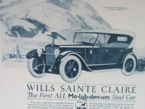
An old advertisement
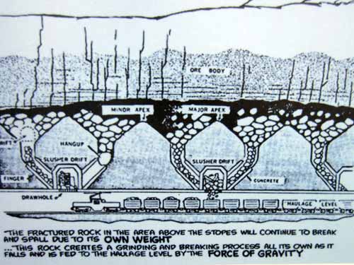
The block-cave mining technique in the 1930's drastically increased production.
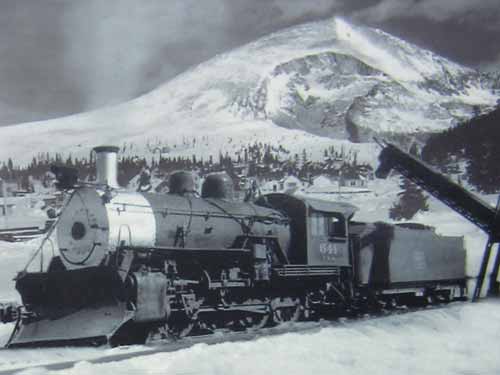
"Big Shots" were the key. Massive amounts of explosives were placed at various locations then all set off at once. The resulting fractures caused the mountain to gradually collapse (or cave) under its own weight. The largest one was in 1964 when more than 2,000 tons of explosives were detonated. A large section of Bartlett Mountain (1/4 mile wide and 1,000 feet high) collapsed into the Glory Hole (pictured behind the train).
We drove on to Frisco, stopping to have lunch in Regan's 'favorite' restaurant, the Log Cabin.
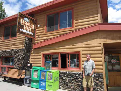

Eggs, hash browns and a biscuit with gravy

Regan was tempted... but didn't.
It was dry on this side of the Eisenhower Tunnel but raining when we emerged on the other side. Road construction and traffic slowed us down a bit.
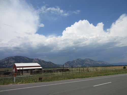
Arriving in Boulder, with the Flatirons under thick clouds

