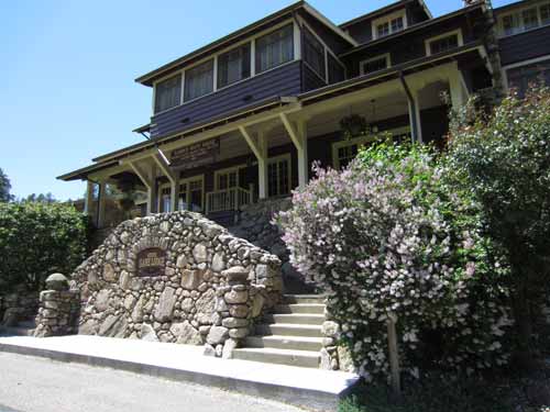
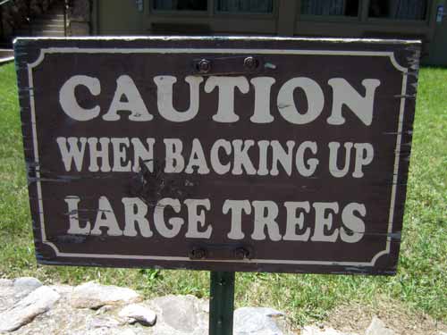
How many cars did it take before they felt the need to put a sign up!?
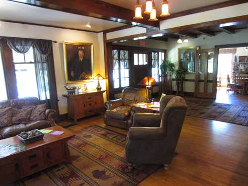
The menu turned out to be quite reasonable, so we had some lunch. It was a nice change from the canned food we'd been surviving on lately.

Regan tried his first buffalo burger.
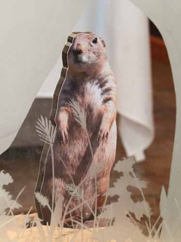
Luckily it wasn't a prairie dog burger 'cause this little guy watched us the entire meal.
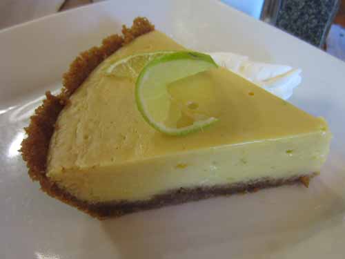
Key lime pie!
We stopped at the park's main visitor center nearby and learned a bit about the Black Hills, in which Custer State Park is located.
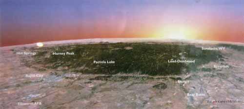
The Black Hills are a small, isolated mountain range, so named because of their dark appearance from a distance.
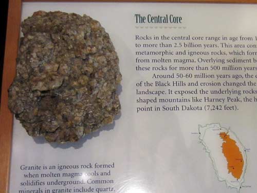
Rocks in the mountain's central core range in age from 1.7 to over 2.5 billion old. Formed from molten magma, these hard rocks were buried for more than 500 million years. Around 50-60 million years ago, shifts in the landscape exposed them in the form of various peaks.
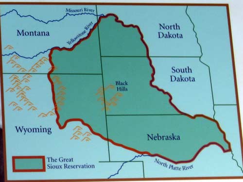
The Fort Laramie Treaty of 1868 created the (short-lived) Great Sioux Reservation.
Native Americans have inhabited the area since at least 7000 BC. The Arikara arrived by 1500, followed by the Cheyenne, Crow, Kiowa and Pawnee. The Lakota (or Sioux) arrived from Minnesota and drove out the other tribes by 1776. In spite of signing a treaty in 1868 which forbid white settlement in the area, the U.S. government changed its mind when gold was discovered and the Lakota were sent to reservations in western South Dakota.
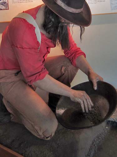
Panning is the simplest and oldest form of placer mining (or the mining of alluvial deposits - such as sand and gravel in stream beds - for minerals, precious metals or gemstones). The productivity rate, however, is fairly low. The gold found, for example, is typically only a small portion of the total deposit, having been moved by stream flow from its original source such as a vein.
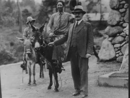
Peter Norbeck (the park's founder) felt that the best way to enjoy the park was to get out of your car and walk it. I wonder if these are some of the original mules that were later turned loose.
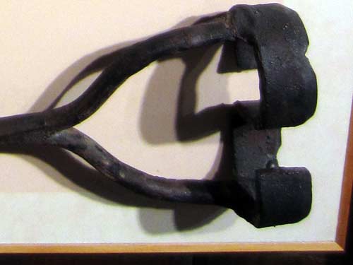
The park apparently brands all calves during the annual round-up and gives them a number corresponding to their birth year. For example "9" would stand for 1999, 1989 and 1979. Because the bison are not kept more than 10 years, there is no confusion about their age.... although that doesn't explain the brand and number tag we saw earlier.
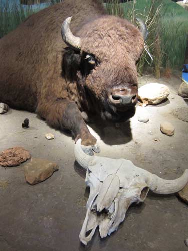
There were many great animal exhibits.
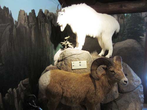
People sometimes get mountain goats (in the back) and bighorn sheep (foreground) mixed up.... but mostly its just people who haven't seen them before.
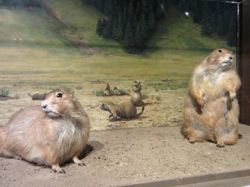
They almost look like they're dancing!
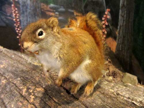
Red squirrels are common in the area.
We turned north and continued along the Needles Highway, a 14-mile road through forests and rugged granite mountains. Its name comes from the numerous needle-like granite formations. Peter Norbeck first carefully marked out the road on foot and horseback. Construction was completed in 1922. Due to its cost, it was originally referred to as the "Needless Highway."
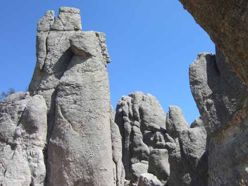
Some examples of 'needles'
Unfortunately it was late enough in the day now when the tourists were out in force. These tiny, narrow roads (that often turned into one-lane tunnels where people had to take turns going through in each direction) simply couldn't handle the huge numbers of visitors... not to mention the huge size of most of the vehicles. People got quite angry with each other, honking and yelling and a variety of hand gestures, as they all tried to push past. All the parking areas overflowed and chaos reigned. All that was left for us to do was get out of there as quickly as possible.
I miraculously found one tiny parking spot on the outskirts of the Needle's Eye. We walked over and quickly viewed a set of rock formations, then headed back to the car amidst the battling SUVs and 4x4 pickup trucks. Suddenly a tour bus decided to squeeze through the tunnel!
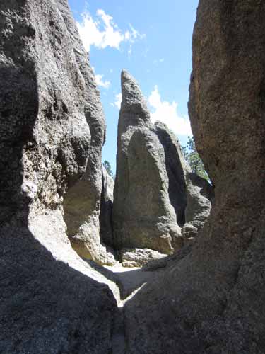
Some lovely formations
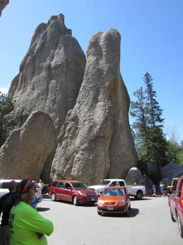
Car chaos
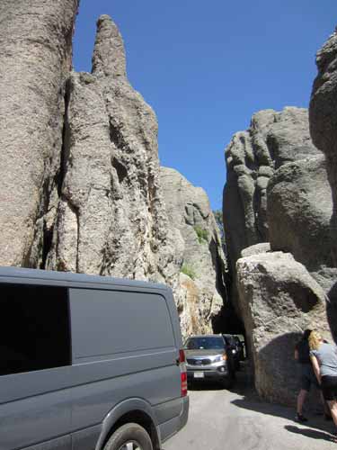
A long line of even more cars emerging from the tunnel
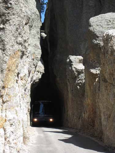
Suddenly a bus decides to try...
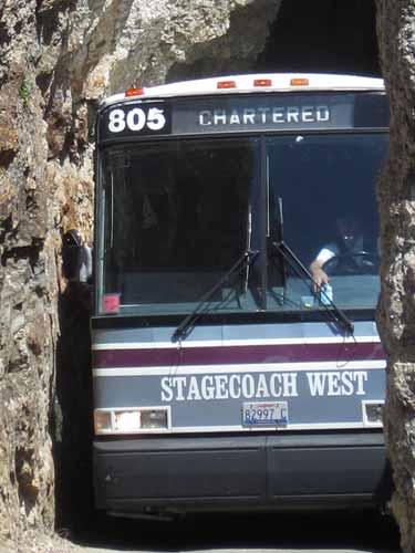
... with probably less than a centimeter of clearance on either side...
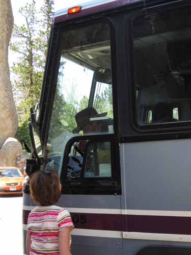
... but he makes it! He jokingly pretended to be lost.
Toward the end of the highway, there was a parking lot with some empty spaces, so we pulled in just to get out of the mad rush for a few moments. But it turned out that it was a hiking trailhead. So we decided to do the 1.5 miles to the top of Little Devil's Tower. The first part of the hike was lovely and easy... then it turned to steep and difficult... and finally it ended with rock climbing up shear cliffs (ok, not quite, but it felt pretty darn close!).
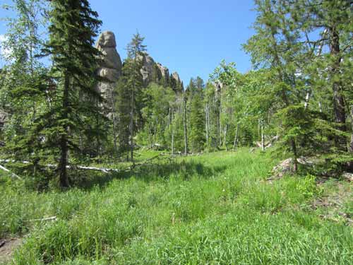
Beautiful forests and meadows, with lovely rock formations as a backdrop
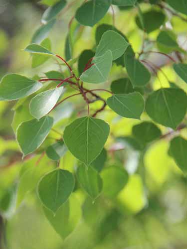
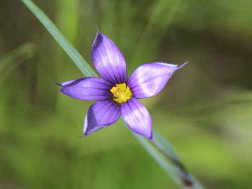
Blue-eyed Grass is a flower in the iris family, not a grass at all. Grasses produce much smaller flowers that can be wind pollinated.
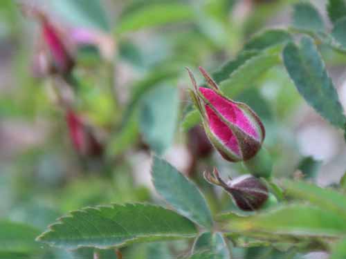
Rose buds
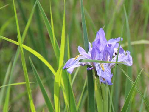
A wild Iris. Fortunately I took lots of flower pictures on the way up, for on the way back, we passed a girl who had decided to pick them all for a large bouquet she was making.
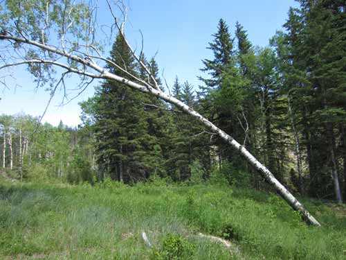
It's not giving up!
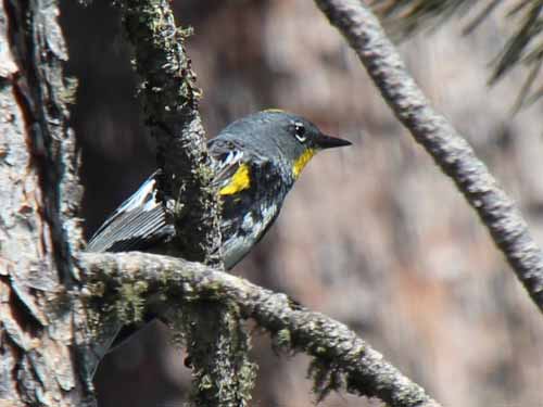
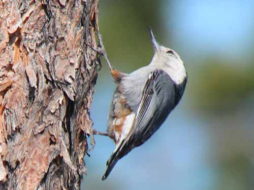
Many small birds flitted about.
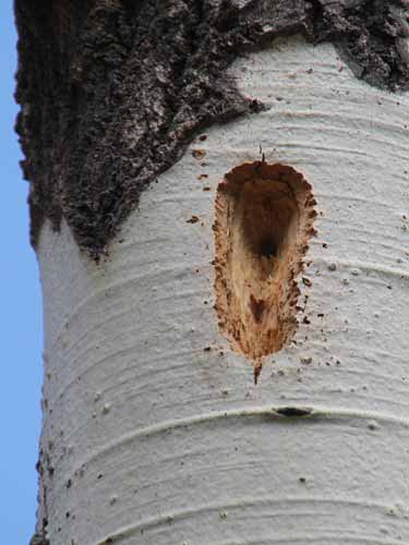
A woodpecker hole
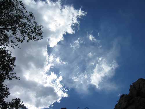
Gorgeous skies
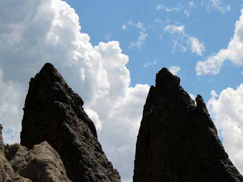
Creative rock shapes
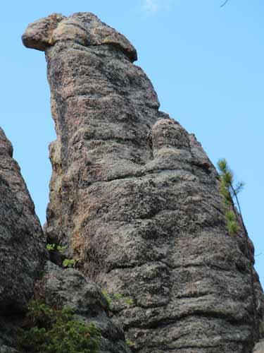
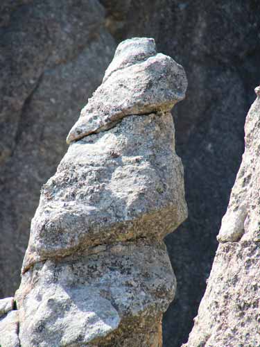
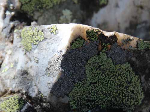
More rock shapes and colors
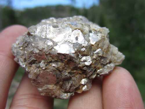
Glimmering mica
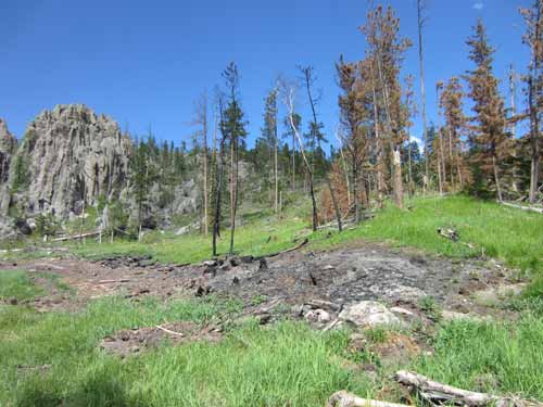
We entered a large area of dead trees, many of which had been burned... perhaps intentionally as part of a contolled burn to stop the devastating pine beetle?
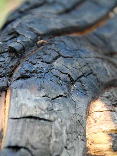
Charred wood
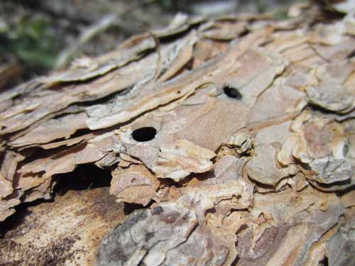
Perhaps the holes on this fallen tree hold the answer.

