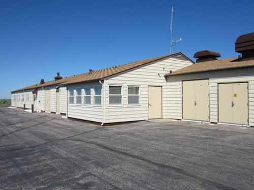
The seemingly innocent facility
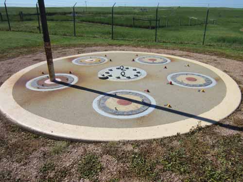
Not really sure what this was
We drove a few miles down the freeway then turned off, ending up on another dirt road that led us to the Delta-9 missile silo.
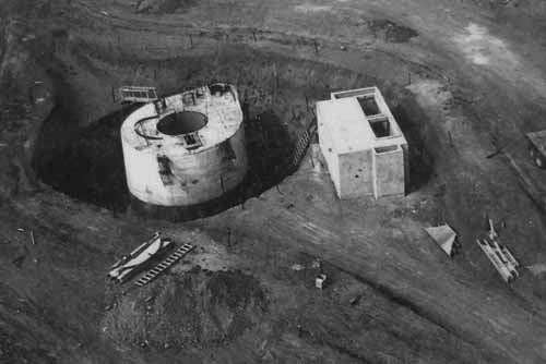
Construction of the silo in 1961. Each silo cost $355,000 to build.
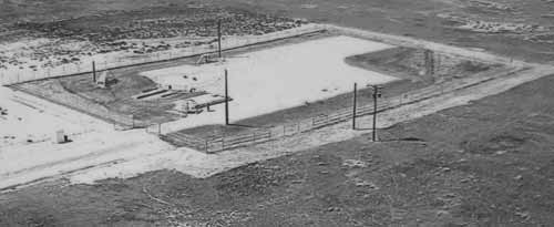
How the site looked during active duty
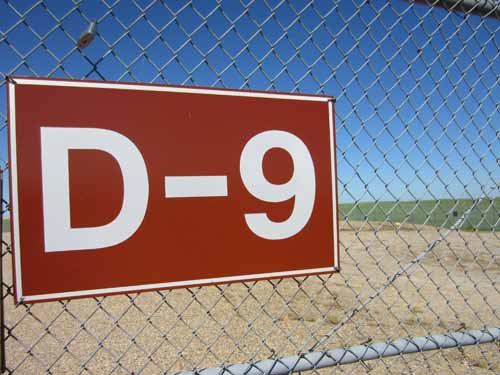
The relatively large area was surrounded by a very big fence. Back in the day, use of deadly force had been authorized for any trespassers.
The ranger had told us a story about how one time, one of the fence sensors had been activated. So a bunch of security guys rushed out there only to find... a camel! Since these definitely aren't native to South Dakota, odds were it had escaped from a traveling circus. It was probably feeling a bit itchy and the fence made an attractive scratching post.
The silo itself was located in the far back corner of the fenced area. We made our way over to it and gazed into the deep hole through the blue glass at the now deactivated missile.
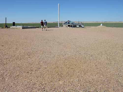
Not really sure why they needed soooo much extra room
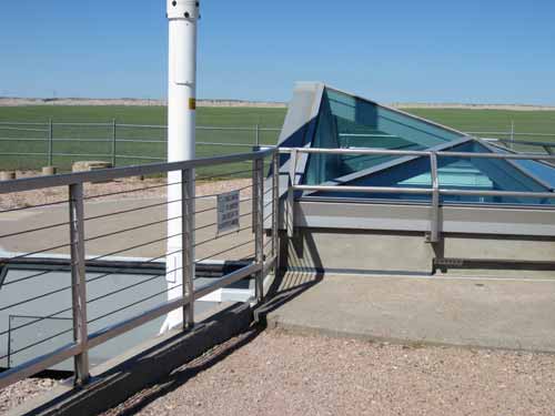
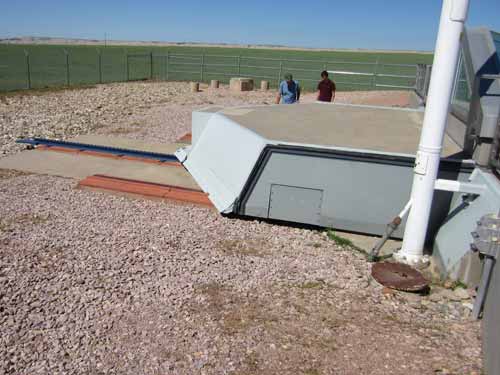
The cap could be opened by sliding backwards on these tracks.
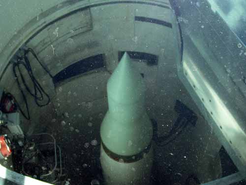
Looking down at the 56-foot missile
In spite of it approaching the heat of the day, we returned to the Badlands to do a several hour walk along the Castle Trail, looping back on the Medicine Root Trail (about 6.6 miles). Since this was considered backcountry/wilderness area, we signed in at the box at the trailhead. I suppose at the end of the day, if there are any unclaimed cars still in the parking lot, they know where to begin looking for you.
The trails took us through a variety of landscapes... from rocks to prairie, from sparse to green, from barren to full of life.
We got lost almost immediately, heading down a steep wash instead of the actual trail. Fortunately some girls returning from the same hike called to us. They said they had made the exact same mistake. They pointed out the series of tall red markers, which while sometimes were spaced quite a distance apart, in theory you could see the next one from the one you were at. From then on it was fairly easy, even if there wasn't an obvious path.
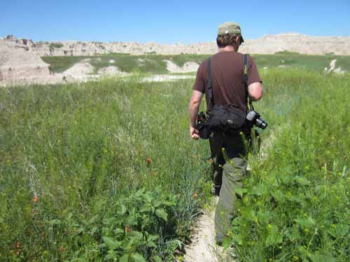
Starting out the the tall grasses
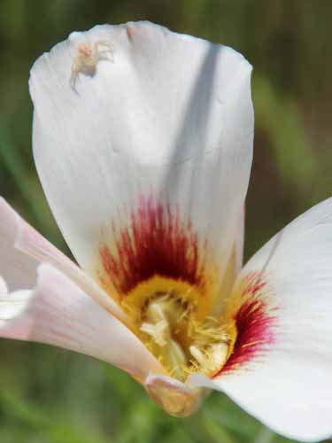
A spider waits for a hapless insect to visit a sego (or maiposa) lily.
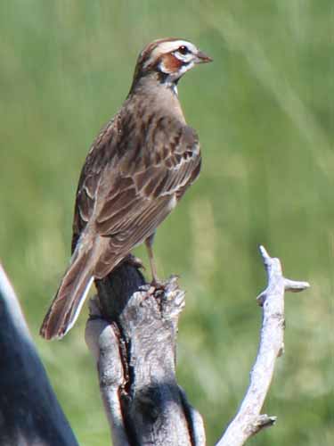
A Lark Sparrow
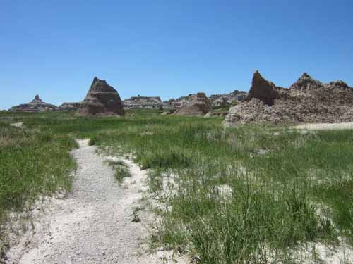
Fairly quickly, the landscape became more dry and stark.
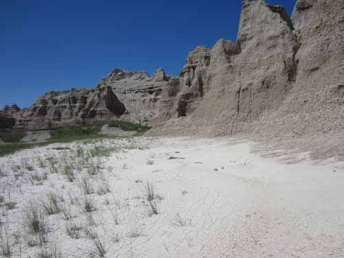
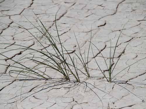
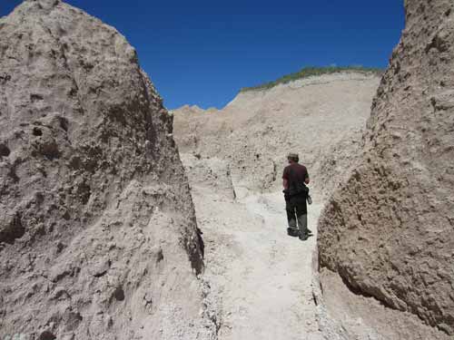
Making our way through a canyon
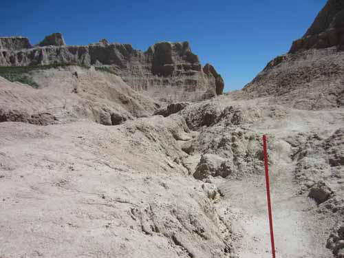
Following the red trail markers (especially when the trail isn't very obvious!)
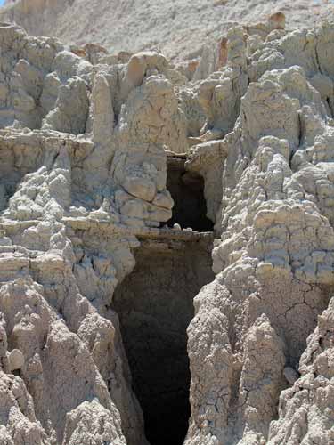
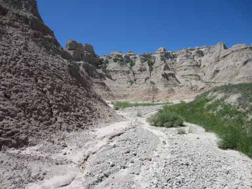
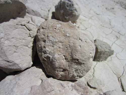
There were lots of mud balls here.
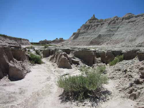
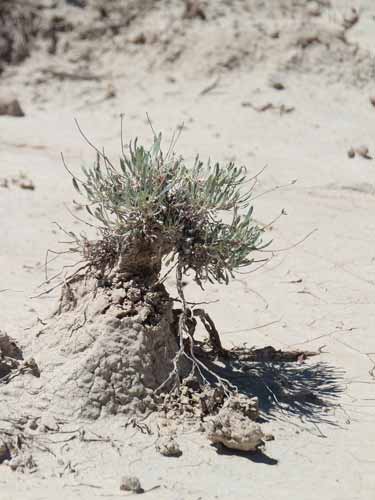
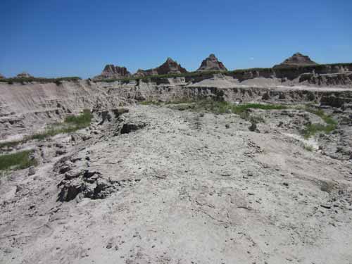
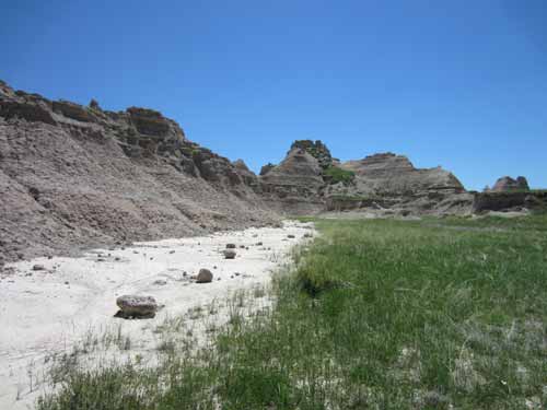
We started to leave the rock formations and enter back into the grasslands.
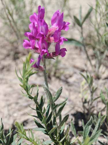
Colorado locoweed
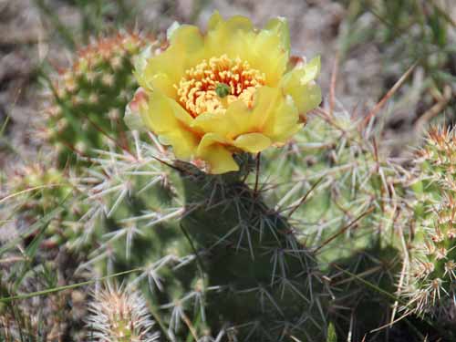
Prickly pear cactus
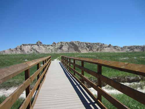
Looking back along a bridge over a wash. A wash (or arroyo) is a dry creek or gulch that temporarily or seasonally flows after sufficient rain.
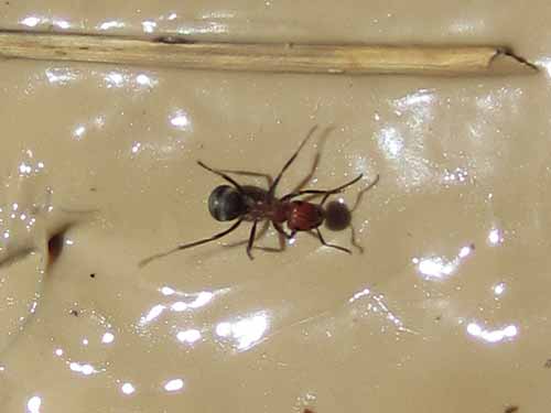
A type of carpenter ant with a red upper body and black lower body
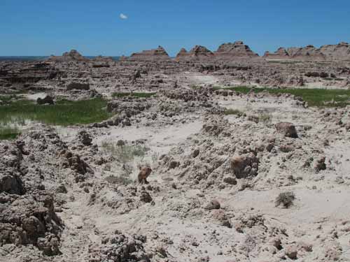
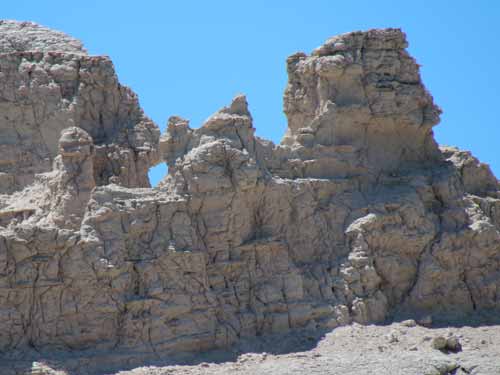
Back out among the rocks again
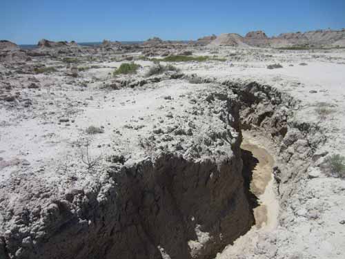
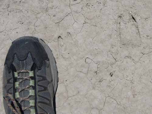
Deer or sheep tracks?
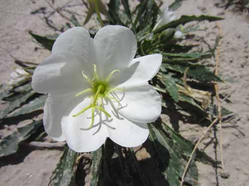
Evening primrose
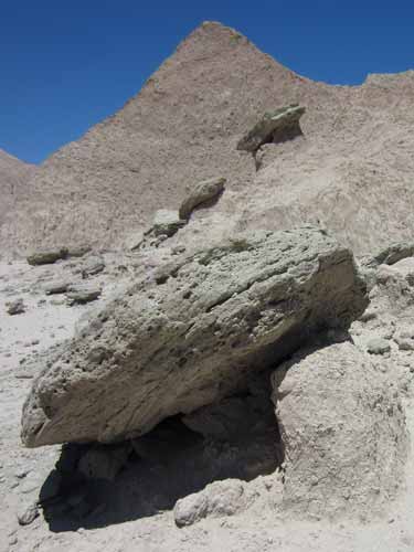
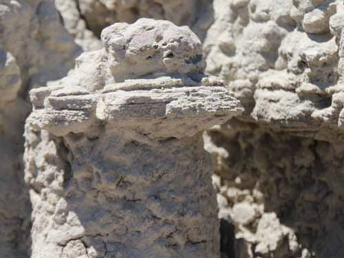
These rock caps were once part of a solid hard layer resting on top of a sofer lower layer which has eroded away.
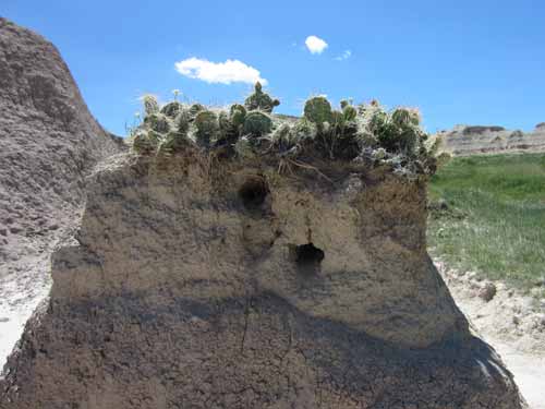
A good example of a sod table
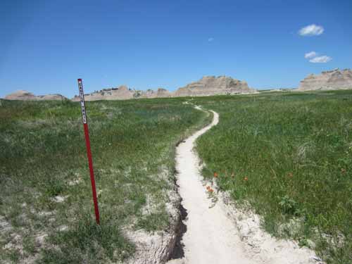
At the base of these hills, we turned off of our red-marker Castle Trail and began the trek back via the green-marker Medicine Root trail.
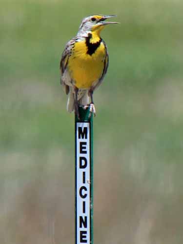
A Meadowlark shows us the way.

