The 'free' breakfast was served in the front office, but it was set up as more of a buffet with loading up your plate and taking it back to your room.
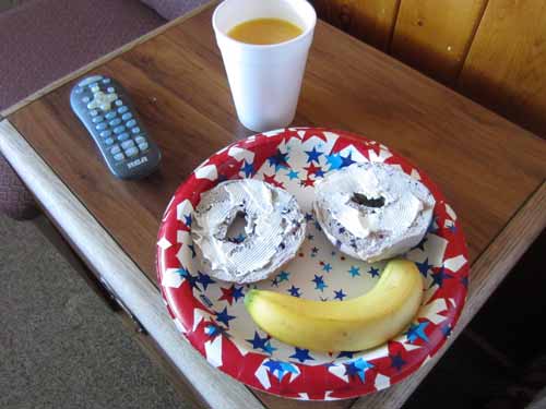
My artfully arranged breakfast of a blueberry bagel with cream cheese and a banana. Somehow the orange juice was rather painfully carbonated.
We had some gorgeous views driving from Fruita out to Utah. We took the scenic Highway 128, which led us across sweeping plains then into the sculptured canyons carved by the Colorado River.
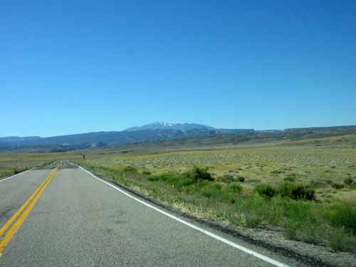
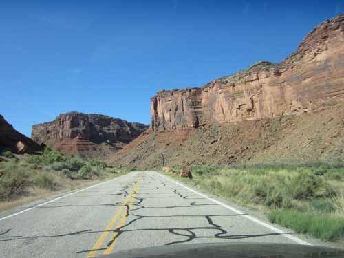
Frankenstein roads
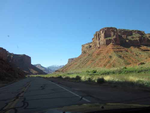
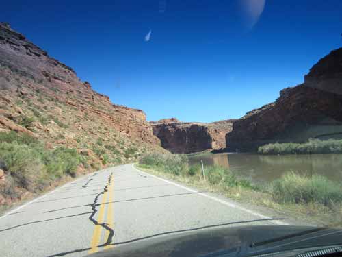
The Colorado River
We set up a tent along the river at Granstaff Campground. Most of these area were 'first come-first serve' type of things, so getting there early was a good idea. This campground didn't have any running water although it did have pit toilet facilities.
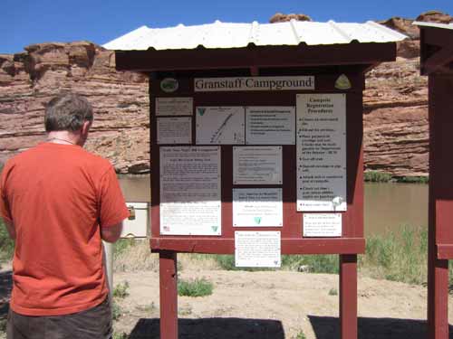
Regan signs us in.
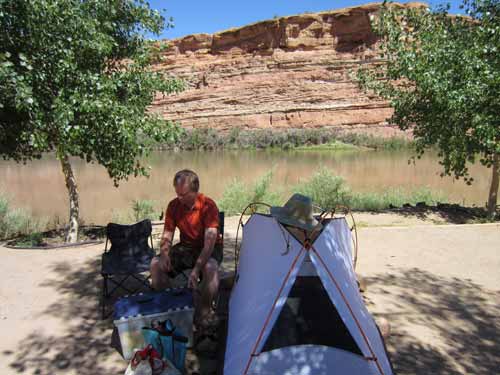
It was already very very hot. We squeezed into what tiny bit of shade we could find for some lunch.
It was only a few minutes drive to Arches National Park. We stopped at the Visitor Center which was absolutely packed with people... mostly from giant tour busses. But they didn't last very long. We wandered around the exhibits, watched a 15-minute movie about the park, and learned that the Midget Faded Rattlesnake (the ones we saw in Colorado National Monument) has extremely toxic venom. Oh.
The area was originally created as a National Monument in 1929 and became a National Park in 1971. It is known for preserving over 2,000 natural sandstone arches, 43 of which have collapsed due to erosion since 1970.
The park lies on an underground salt bed which is thousands of feet thick in places and was deposited some 300 million years ago when a sea flowed into the area and eventually evaporated. Over millions of years, the salt bed was covered with dirt and sand, which in turn became rock layers. The weight of this cover caused the salt bed to liquefy and thrust up layers of rock into salt domes. Faulting occurred and large sections of rock fell into the areas between the domes, in some places turning almost on edge. Erosion then removed the younger rock layers from the surface. The major rock formations are in the pink Entrada Sandstone and the beige Navajo Sandstone. These are visible as layers throughout most of the park.
Over time, water seeped into the surface cracks of these layers. Ice expended and put pressure on the surrounding rock, causing it to break off pieces. Wind blew away the loose particles and sets of free-standing fins remained. Erosion continued to wear down these fins until the cementing materials gave way and chunks of rock tumbled out. Some fins collapsed while others, with the right degree of hardness and balance, survived despite their missing sections. These became the famous arches.
Everywhere were signs warning about dehydration. We had a couple small water bottles with us to carry, but we decided to buy a couple more... since they were inexpensive and BPA-free.
BPA stands for bisphenol A. It is an industrial chemical that has been used since the 1960's to make certain plastics, including water bottles. Should we be concerned? Research has shown that BPA can seep into food or beverages from these container and that there are possible negative health effects. This in itself doesn't necessarily sell me on the fact that it is bad. What DOES sell me is that the government reassures us that it is safe in low levels. For me, I feel government-issued safety standards are influenced too much by big corporations, lobbies, and others trying to make a buck at the expense of our health.
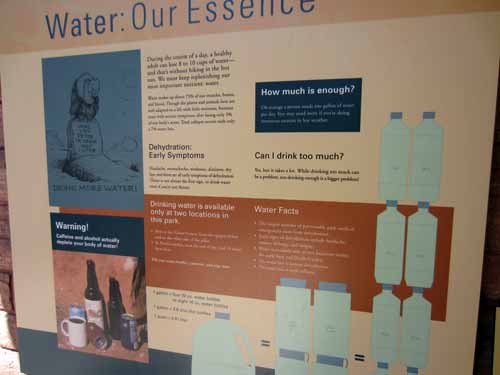
Drink, drink, drink!
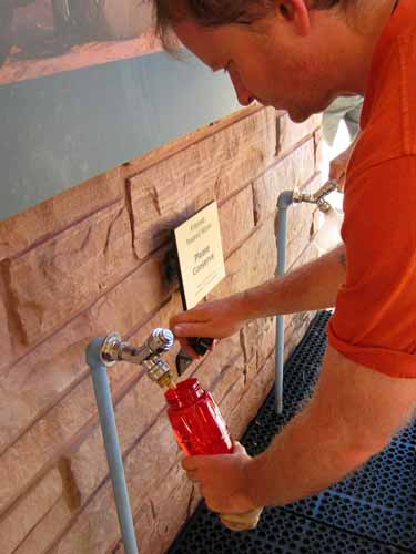
Filling our new water bottles at the free water tap outside.
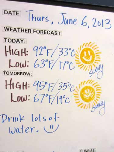
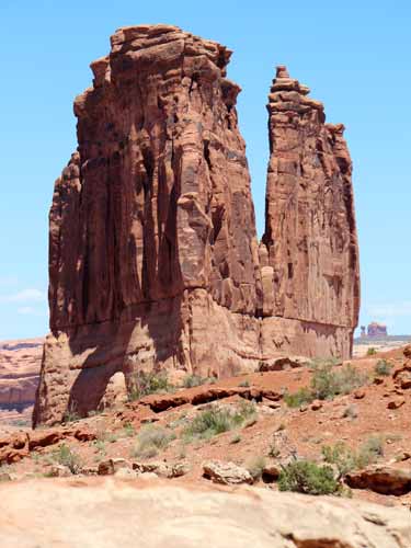
We then did a drive through the park, stopping at the various trails and overlooks. Park Avenue was our first stop. It was so named because it reminded early visitors of a big city street.... sort of geological skyscrapers.
The area was not devoid of life. There were flowers and birds, although not the cactus and lizards we had encountered at Colorado National Monument. Oh, and if you were tired of wood pictures before, it only gets worse...
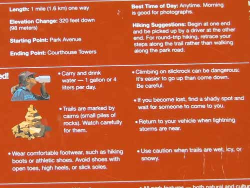
Signs at each trailhead gave information on the trail and warned of the dangers of the desert.
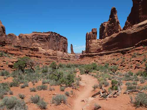
Entering Park Avenue
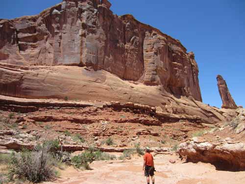
A boy lost in the city
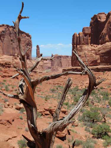
Yup, I warned ya they'd be here.
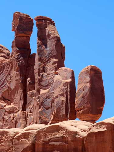
There are several important rock layers here which began forming over 150 million years ago as tidal flats, desert and beach deposits. Over time, more rock layers (perhaps a mile thick) covered these deposits. The weight compressed the buried sand into sandstone and cracked it. As erosion removed the overlying rock, the layers began to weather, creating the various formations of today.
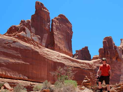
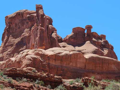
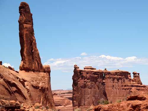
Over time, these formations will continue to change.
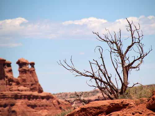
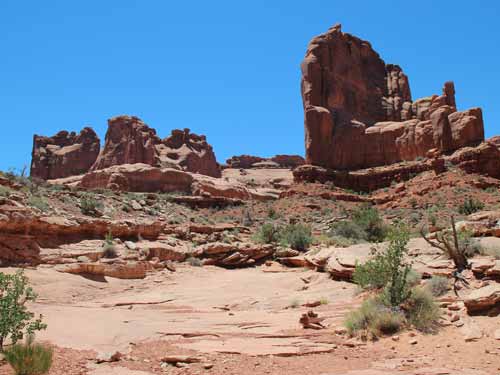
The "trail"
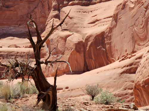
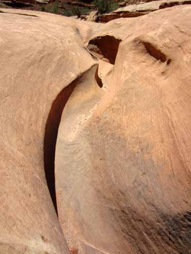
The rock seemed to flow as easily as water.
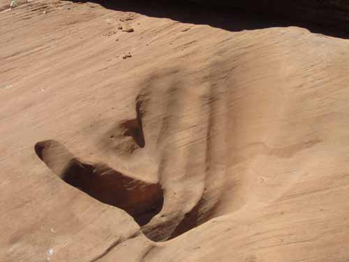
This looks like the hand print of a giant!
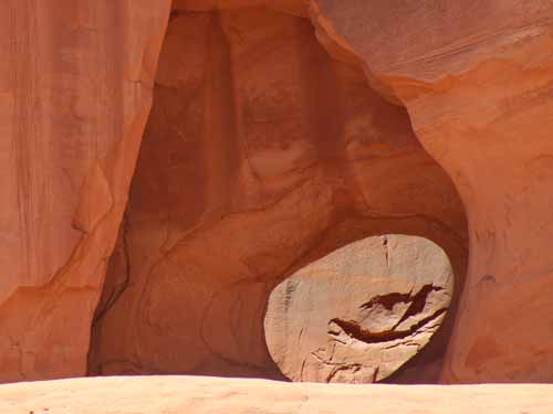
Holes within holes within cliff walls
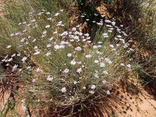
Daisies
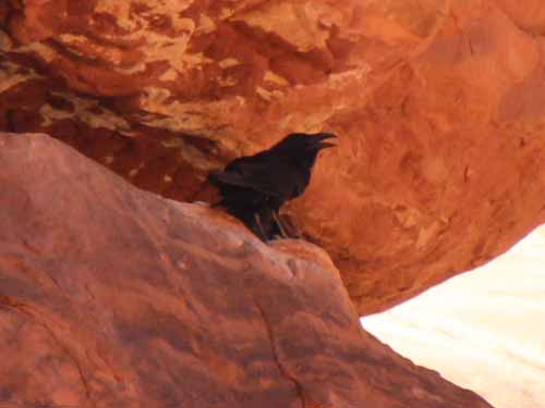
A Common (or Northern) Raven calls out, its voice echoing through the canyon.
We next stopped a short ways away at the La Sal Mountain Overlook. The mountains are about 20 miles (or 32 km) away and rise to over 12,000 feet (3640 meters).
A group of two older couples asked if we could take their picture for them. We did and then chatted for a while. They said they had "almost" made it over to New Zealand once.
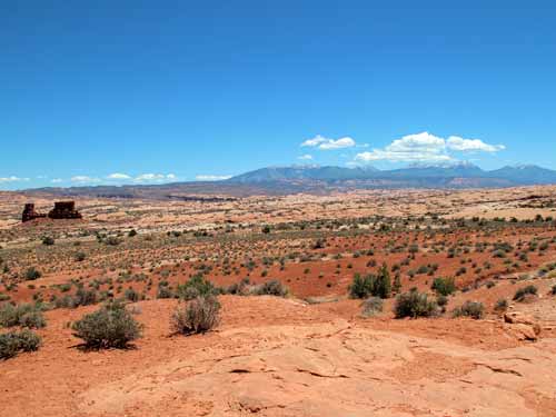
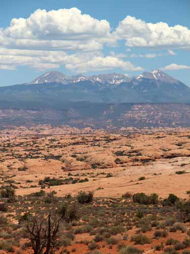
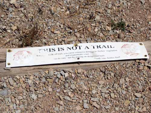
Unfortunately these signs, which were meant to protect the delicate desert soil, were so infrequently heeded.
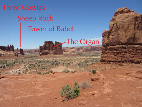
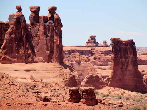
The Three Gossips and Sheep Rock
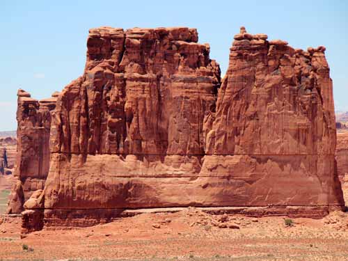
The Organ (or the Courthouse Towers). Behind them (peeking out at the left) is The Tower of Babel.
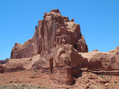
This formation apparently didn't seem to be worthy of naming.
The Courthouse Towers Viewpoint was at the other end of the Park Avenue Trail. It gave us a closer look at some of the formations we'd already seen from several different angles.

