
A California Rock Squirrel suddenly notices new 'victims.'
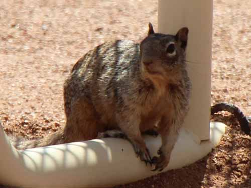
Moving in closer to get a better look at our food potential
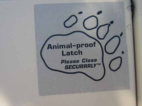
This is why it's so desperate... all the trash cans are squirrel (and bear) proof!
Serpents Trail was once called "The crookedest road in the world." Construction began in 1912 and it would be the first motorized route across Colorado National Monument. It had over 50 switchbacks! When it was completed in 1921, most cars lacked fuel pumps and had to go up the steep road backwards so that fuel flowed to the engine by gravity. By 1950, the new road was completed and Serpents Trail was closed to motorized vehicles and in 1961 it became a hiking trail.
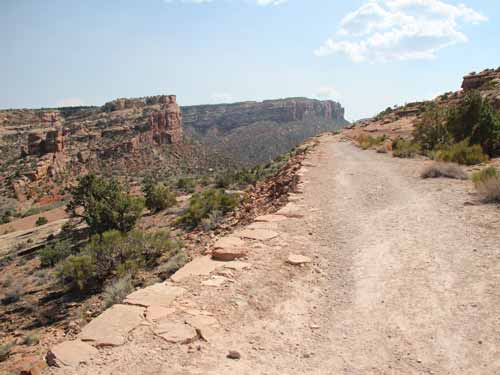
The old road
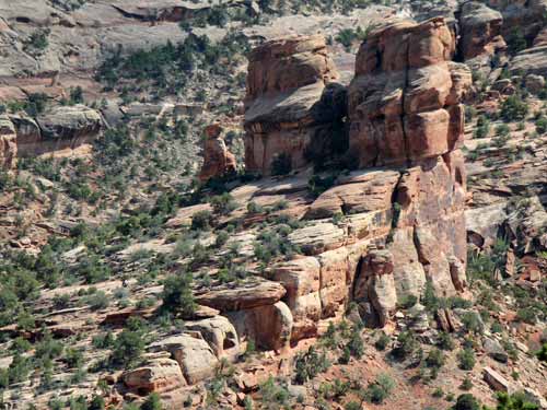
A different view of Devil's Kitchen
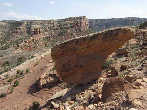
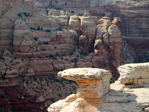
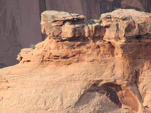
A very precariously balanced rock!
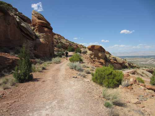
Heading up
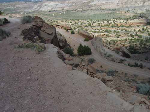
A glimpse down at a few of the switchbacks
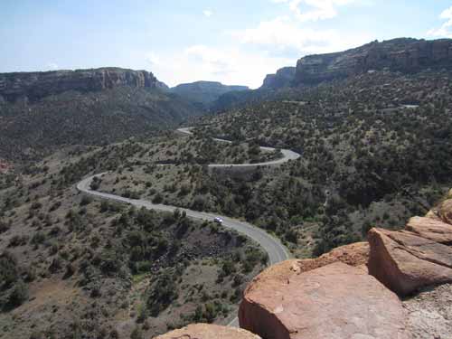
The new road that is used today
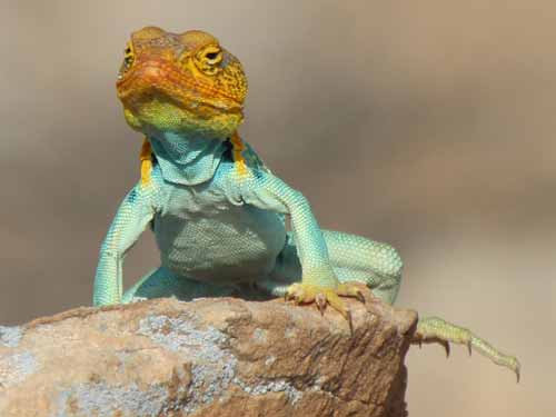
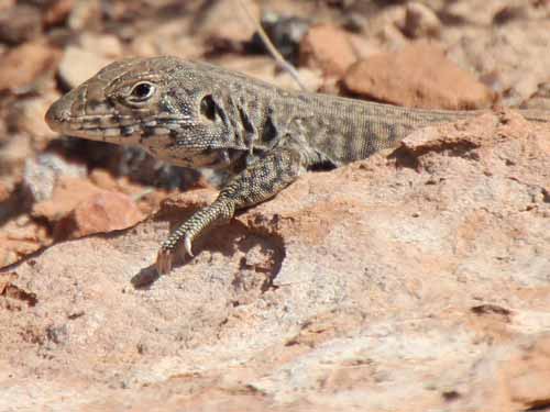
The lizards acted very calm... almost a bit too comfortable and suave.
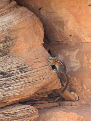
The mammals were a different story... bounding away into the cliffs at the first sight of us. This chipmunk did a huge vertical climb in mere seconds.
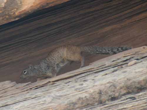
This rock squirrel found a crevice and was instantly gone. By the way, they can use that big fluffy tail to cover themselves for shade.
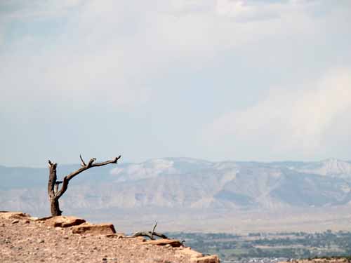
Expansive views
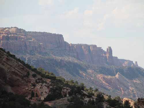
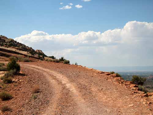
Only about halfway up
On the drive back to the campsite, we stopped at several of the overlooks. The light first began to make the red (or orangish-brown, as some would say) canyon walls glow and then slowly fade into grey. The wind started to pick up, making standing near the edge of some of these deep fissures a bit unnerving. Many signs helped us put together a good picture of the place.
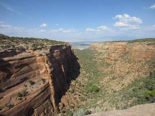
Some 70 - 40 million years ago, the Redlands Fault lifted the layered sedimentary and metamorphic rocks of this area. Since then, erosion and the Colorado River carved these steep-walled, flat-bottomed canyons. The resulting debris was carried by the river to the Gulf of California.
Cold Shivers Point was our first stop:
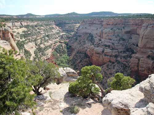
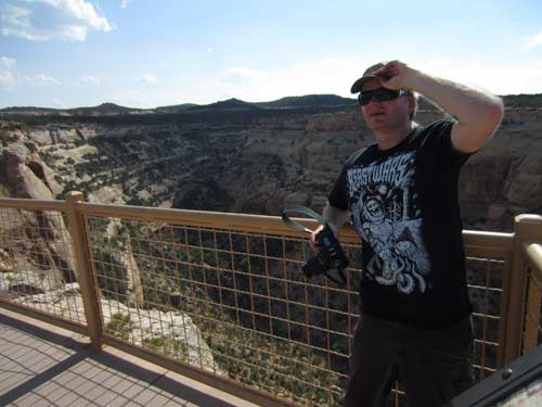
Regan holds onto his hat because of the wind!
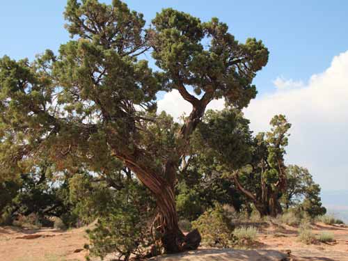
Its scaly leaves and waxy berries help the Utah Juniper conserve what little water it receives. The berries are actually modified cones... a favorite meal of the tiny Pinyon Mouse.

Radiance from above
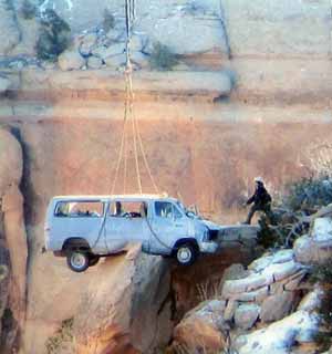
This is a picture off of one of the information signs. The roads were VERY curvy with no protective railings, proving to be potentially quite dangerous. This van was actually quite lucky... it could have gone a looooooong way down!
Red Canyon:
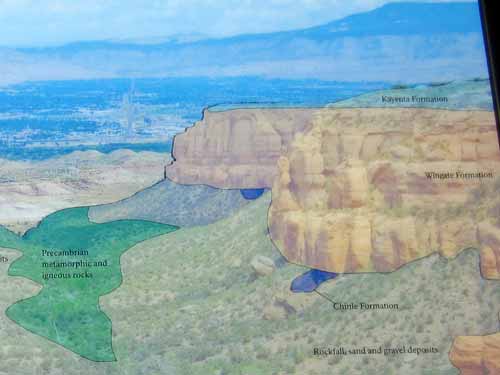
An information sign shows the various rock layers.
Ute Canyon:
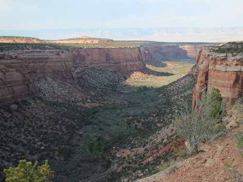
Although flowing water is the force that carved these canyons, the shape and direction of the canyons were influenced by the actual rocks themselves. Many of the canyons have long, straight sections. Folding and faulting of the land formed planes of weakness and cracking in consistent directions which the water then took advantage of.
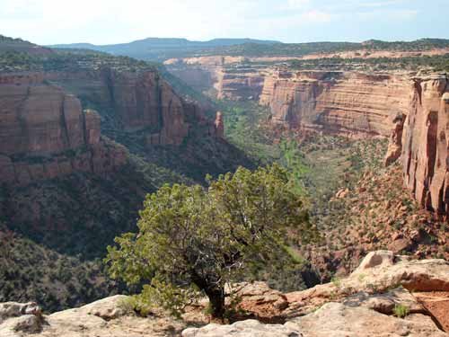
The Pinyon Pine thrives at higher elevations in the canyons. Its pine nuts serve as a valuable food source for both animals and the Ute people of the past (humans have been in this area for 12,000 years). They contain over 3,000 calories per pound.
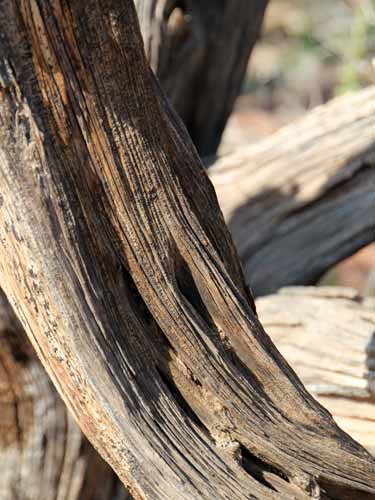
Beautiful forms and textures
Fallen Rock:
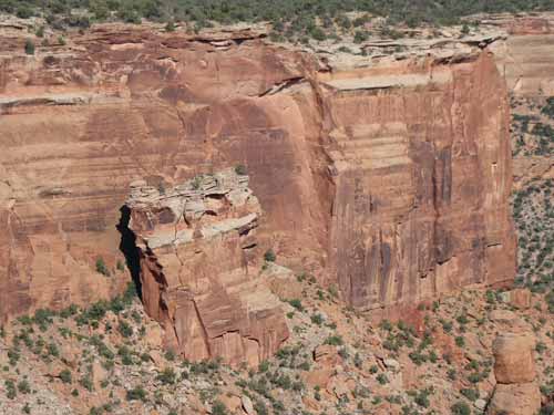
Instead of toppling forward when it separated from the cliff, Fallen Rock slid slowly (over the course of centuries) more than 100 feet (30 meters) where it came to rest on the debris slope below, and where it has likely stood for thousands of years.
Upper Ute Canyon:
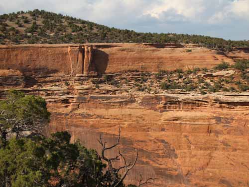
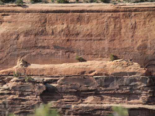
This formation was known as The Mummy.
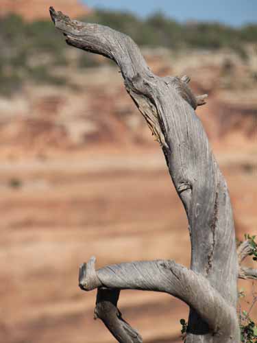
More sculpture from nature
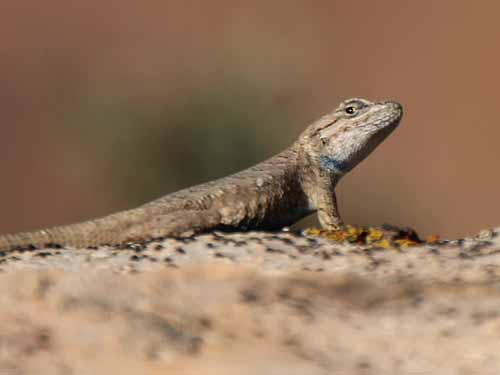
He's not so impressed.
Highland View:
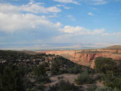
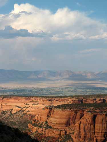
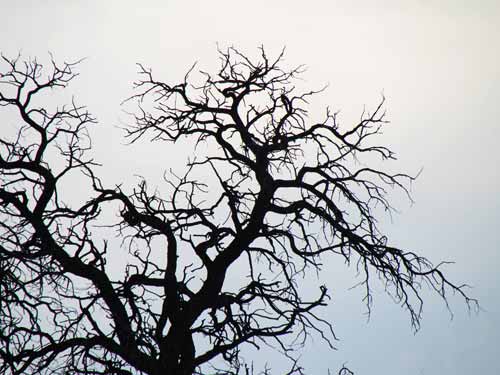
Ok, clearly I'm really enjoying all this dead wood.
Artists Point:
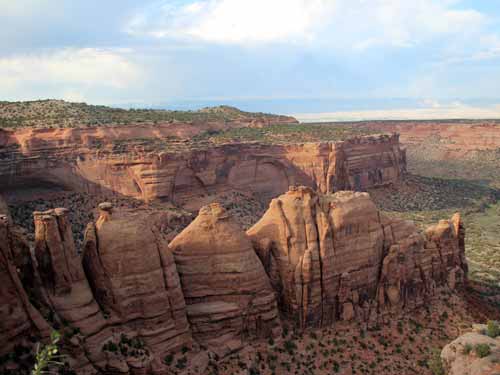
This area is so named for its spectrum of rock color, due both to minerals and colorful lichens.
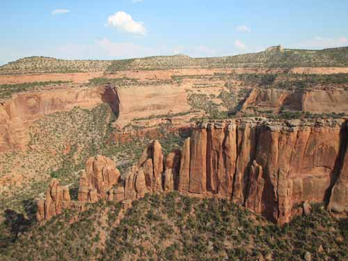
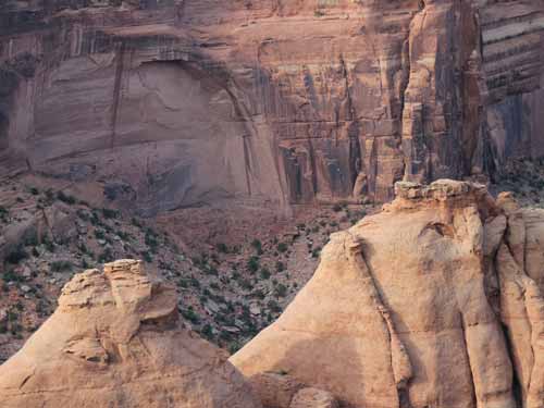
Desert Varnish is a dark brown thin coating of concentrated iron and manganese compounds and clays that forms on rock surfaces over thousands of years. Water seeping over rocks transports and deposits these dissolved metals, sometimes creating long black streaks.
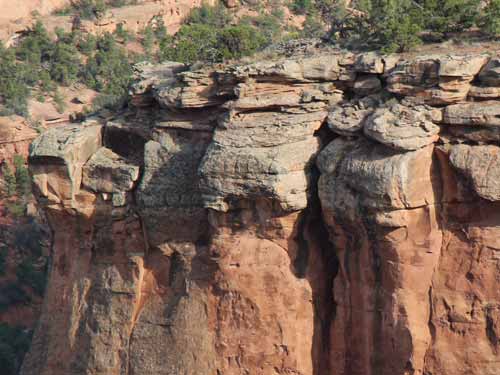
A clear definition between the different rock layers
Upon returning to our campsite, we settled in with a dinner of apples and oatmeal-chocolate chip cookies. It was a rather busy, noisy place with barking dogs, honking car alarms, and some guy in his camper talking loudly on a CB radio.
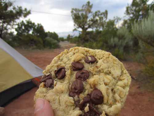
Mmmmm.... dinner!
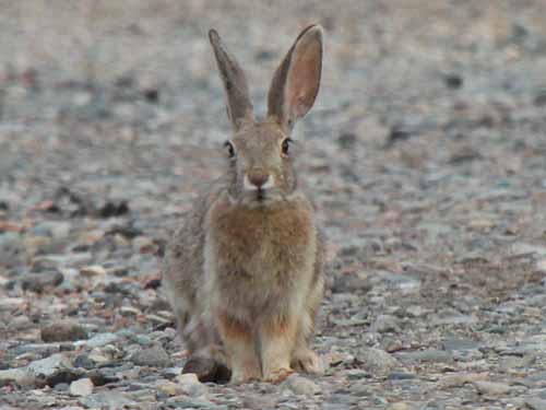
A Black-tailed Jackrabbit (also known as the American Desert Hare) wanders into camp.
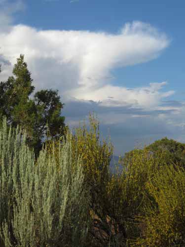
A wide range of greens
We tried to sit outside on the picnic bench for a while since it was a beautiful warm evening, but we immediately were overrun by tiny, highly annoying flies. They quickly drove us into the tent which proved to be faaaaaar too small to try to do any work in. So we gave up and just watched the beautiful sunset.
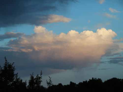
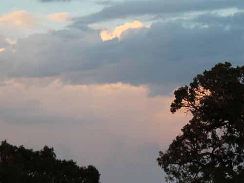
The wind picked up very suddenly as a thunder and lighting storm blew in, which was good for getting rid of the flies but bad because it partially tore off the fly of the tent. We rushed out to fix it in the smattering rain. We had also been unsuccessful at staking down the tent because we were directly on top of a large rock. Welcome to the desert!

