We headed into Steamboat Springs to catch some lunch before the drive home. The town is named for its numerous hot springs and the smell of sulfur in the air was quite prominent. We parked and walked down the main street. We opted to pass up all-you-can-eat-pizza for food and milkshakes at the Shack Cafe. We soon learned we had chosen poorly.
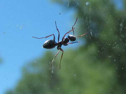
"No, you can't leave!!" An ant clings to the car windshield... even at 50 miles per hour! It never let go.
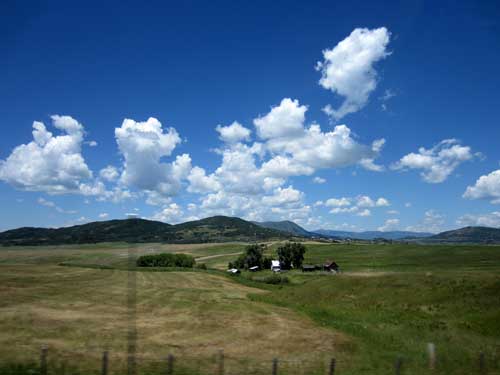
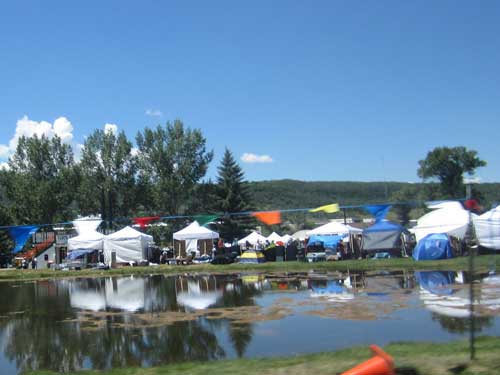
A weekend fair was apparently going on.
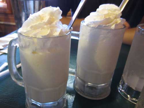
The vanilla shakes were very bland and tasted unfortunately only like milk.
We decided to take the northern route back, taking the 40 to the 34 through Rocky Mountain National Park.
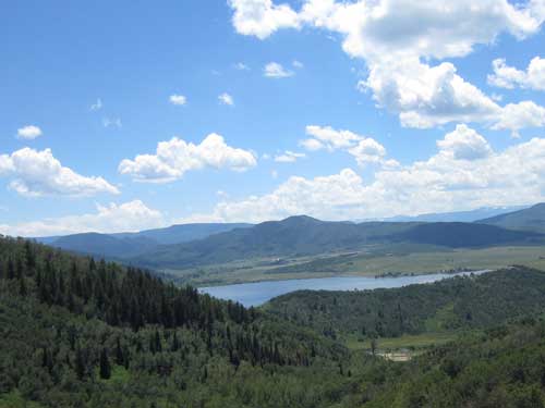
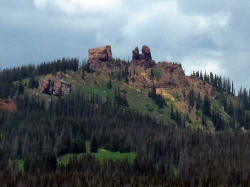
Aptly named Rabbit Ears Pass
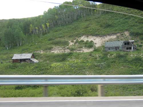
A small ghost town
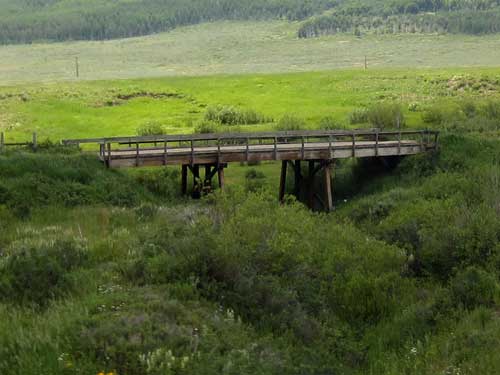
An old bridge
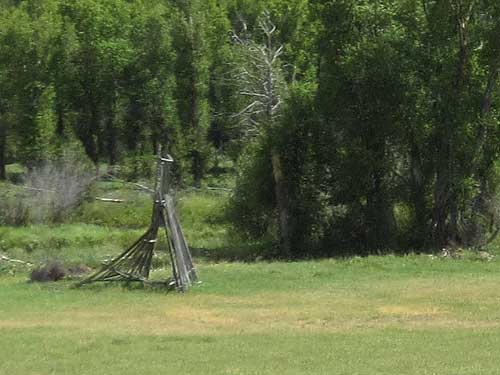
We saw a lot of these structures and couldn't quite figure out what they were meant for. Catapulting cows, perhaps?
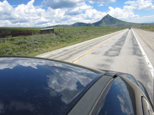
Cruisin'
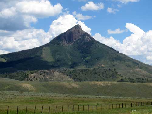
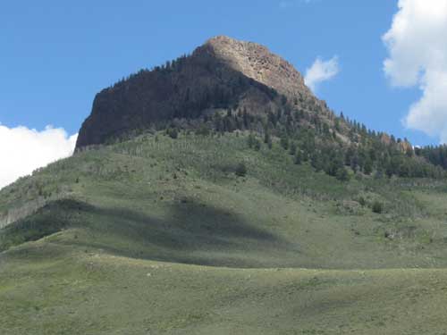
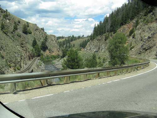
The canyons near Kremmling
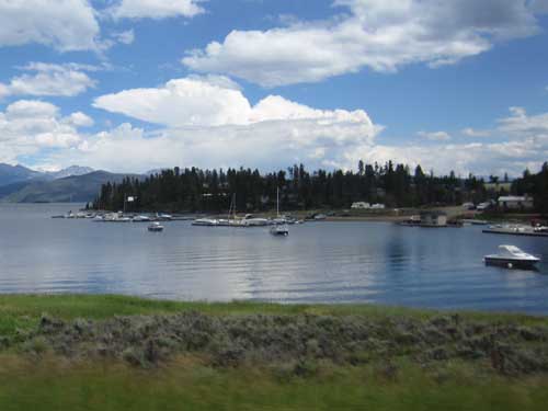
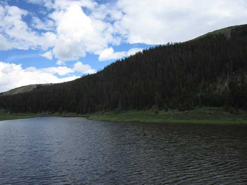
Lake Grandby
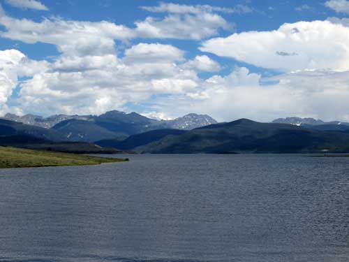

Unfortunately 90% of the trees here seemed to have been killed off by the bark beetle.
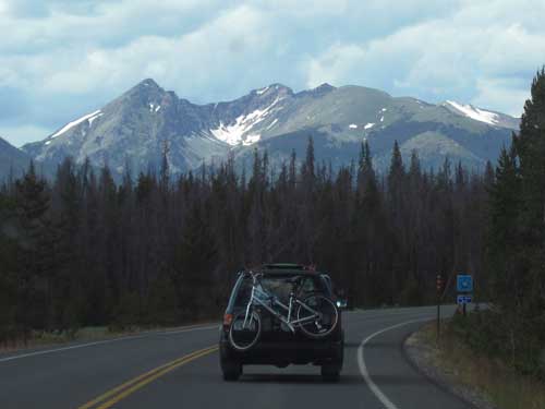
Located in the northern Front Range, Rocky Mountain National Park was created in 1915. It is split by the Continental Divide, creating a drier east side with heavily glaciated peaks and a lusher west side with deep forests. There are over 60 named peaks higher than 12,000 feet, and over one-fourth of the park resides above treeline (which in Colorado is around 10,500 feet).
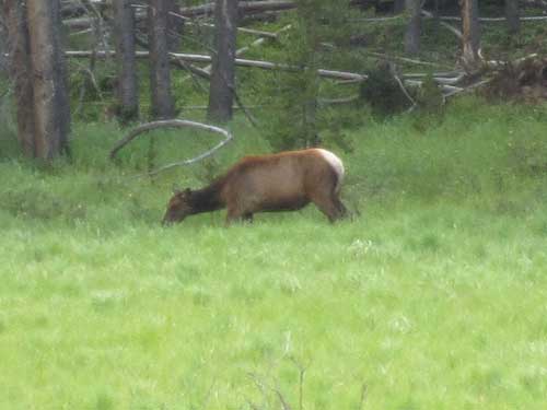
A herd of elk grazed in a meadow just off the road. Some of them were lying down in the tall grass and only the tips of their ears could be seen.
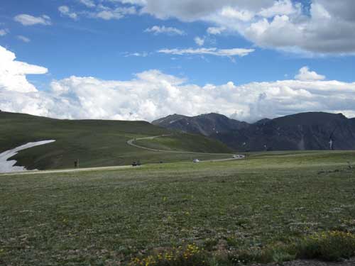
Trail Ridge Road connects the two halves of the park. It is the highest continuous paved road in the US, reaching an elevation of 12,183 feet and crossing the Continental Divide at Milner Pass.
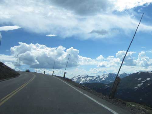
These are markers for the snow plows... yes, the snow does get that deep up here!
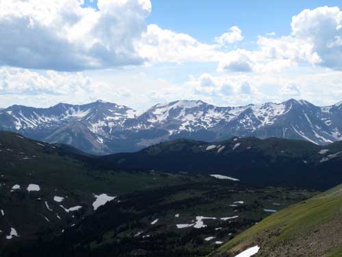
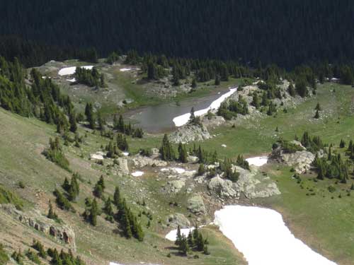
Snow fields and frozen lakes covered the mountainsides.
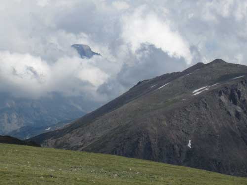
A brief glimpse of Longs Peak (elevation 14,259 feet or 4,346 meters) through the clouds
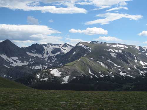
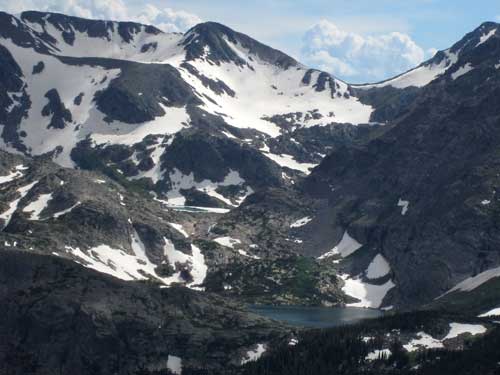
Cirques are the birthplace of glaciers. Several times during the last 2 million years, snow accumulated to hundreds of feet deep at the top of this valley. The tremendous weight caused the mass to move slowly down the valley, thereby giving birth to a glacier. As it crept down the mountain, it carved out bowl-shaped cirques, leaving steep headwalls and a broad U-shaped valley.
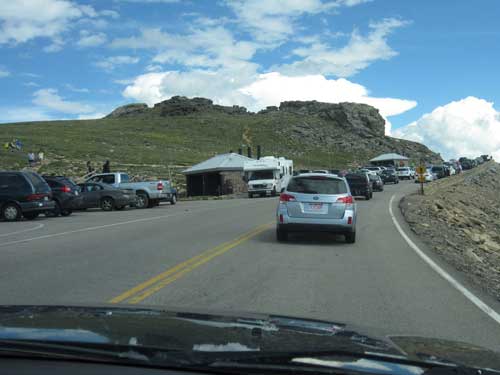
Congestion at the Tundra Communities Trailhead
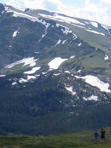
In spite of signs everywhere begging people to respect the delicate tundra by staying on the path, tourists ran rampantly wherever they pleased. Damaged areas can take 500 - 1,000 years to completely regenerate since growing conditions up here are so harsh.
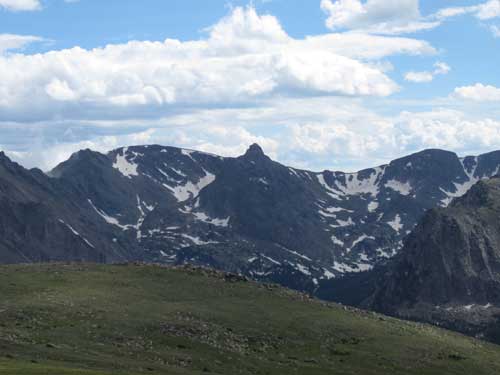
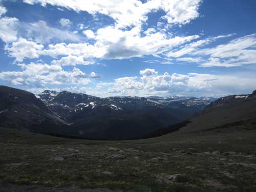
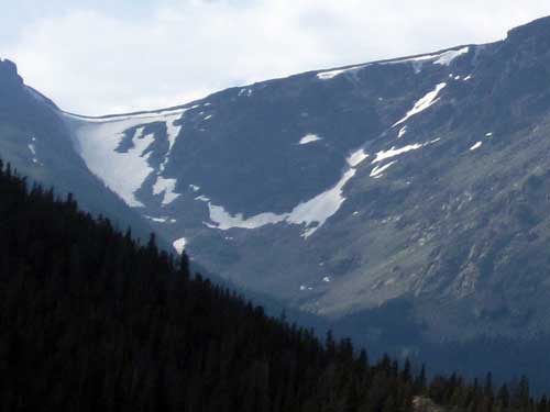
A cornice is an overhanging edge of snow on a mountain ridge. They are extremely dangerous to anyone nearby when they collapse.
There was still a lot of unrepaired damage from the flood last year in September 2013.
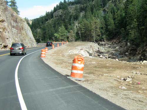
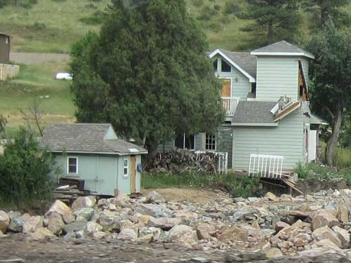
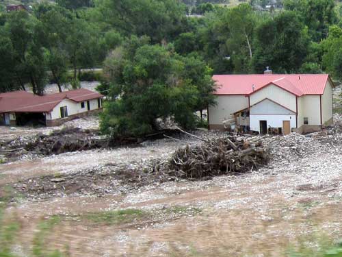
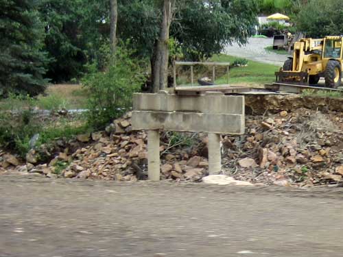
A former bridge
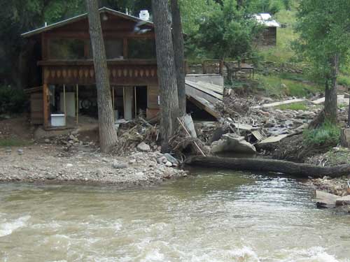
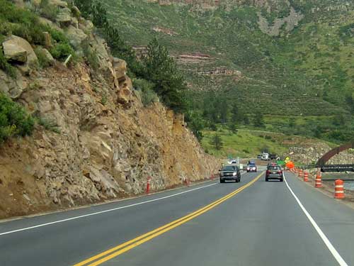
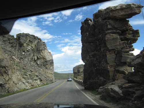
This freshly blasted cliff is part of the new road construction.
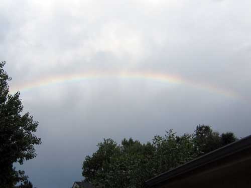
It took about 4 hours to get home. We were welcomed by a rainbow and celebrated our return with a pizza!

Tater tot (deep-fried, grated potatoes) pizza!

