CORPUS CHRISTI (Day 5 - part 2)
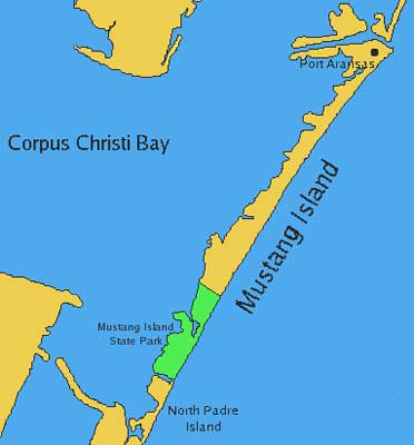
We drove backup the length of Padre Island and reached Mustang Island. It is 18 miles long, of which Mustang Island State Park takes up the southern third.
It was first discovered by the Spanish explorer Alonso Alvarez de Pineda in 1519. By the 1700s, Spanish settlers had brought herds of horses, giving it the name Wild Horse and eventually Mustang Island. They eventually disappeared as ranching took over in the late 1800s. This area became a state park in 1979 after being acquired from private owners in 1972.
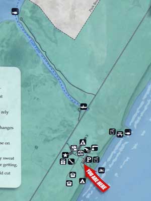
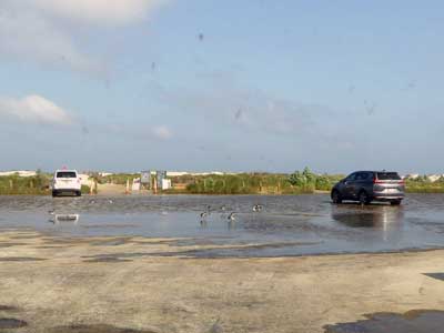
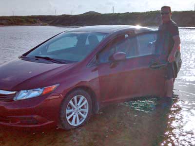
The parking lot was filled with ankle-deep water.
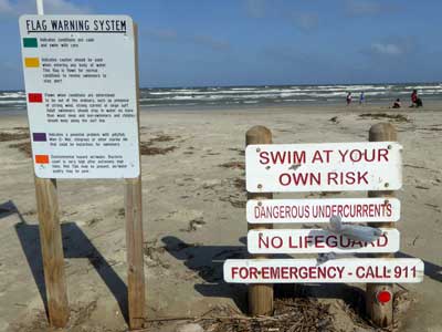
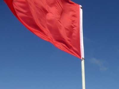
The red flag: "Flown when conditions are determined to be out of the ordinary, such as presence of strong wind, strong current or large surf." It was definitely windy!
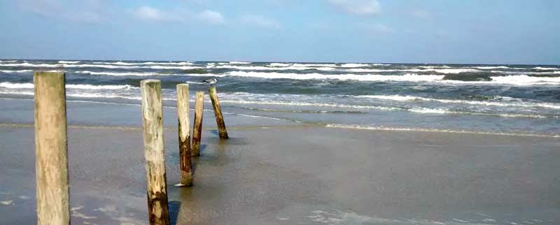
We walked north along the beach.
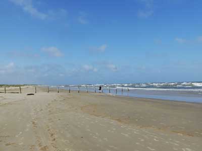
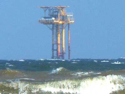
The beach ... with offshore platforms
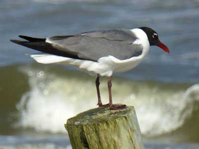
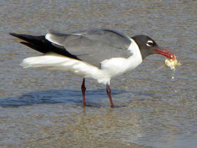
A Laughing gull

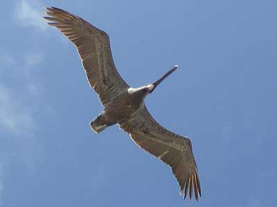
A tern follows several Brown pelicans
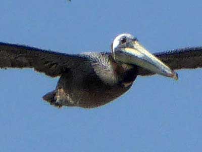
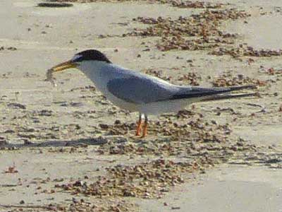
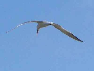
Terns
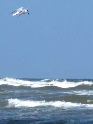
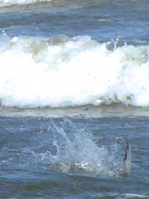
Terns eat mostly fish. They circle or hover above the ocean then plunge in. Since they can’t see underwater, they must make an accurate sighting before diving. Fortunately they have red oil droplets in the retinas of their eyes which sharpens contrast and boosts distance vision. This also protects them from ultraviolet light rays that reflect off the water, which could cause eye damage.
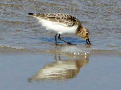
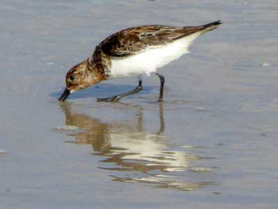
A Sanderling
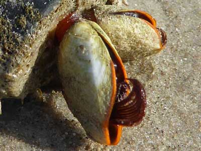
Goose barnacles are a type of crustacean, related to crabs and lobsters. They filter feed on plankton that they capture from the water with their specially adapted legs.
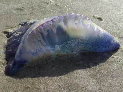
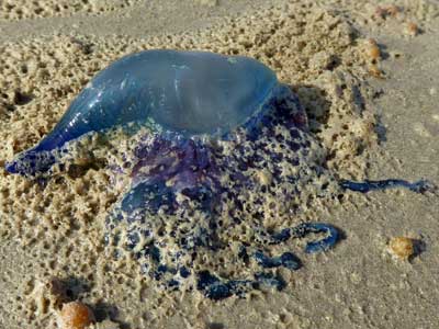
More man-of-wars
We eventually arrived at some breakwaters. Apparently this was Fish Pass.

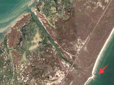
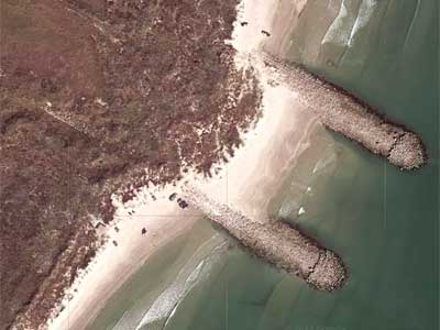
The plan had been to dredge a pass across the island, allowing boat access between Corpus Christi Bay and the Gulf of Mexico. Since there was so much opposition to it, the state only provided enough funds for a one-time dredging and building (no maintenance). So in 1971, work began... but the money quickly ran out. The planned jetties only reached 750 feet (instead of the planned 1,200 feet). The joke was that the pass was only suitable for water and wildlife, hence Fish Pass. It began to erode and fill up with sand almost immediately. When a massive oil spill occurred in the gulf in 1979, it was decided the pass should be filled to prevent oil and tar from entering the bay. High tides from hurricanes and tropical storms continued to wash out the pass from time to time over the years, but eventually it closed for good. Eventually another channel (Packery Channel) was dredged in 2006.
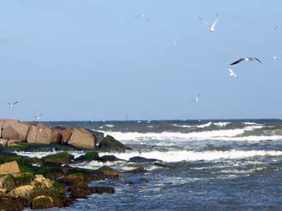
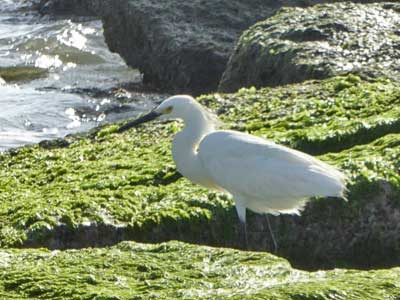
Terns, gulls ... and an egret
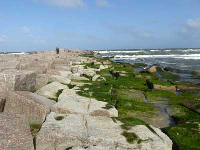
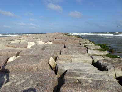
We sat at the very end for a while, enjoying the crashing, splashing waves around us
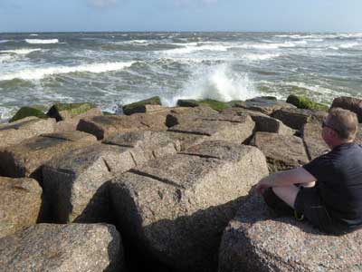
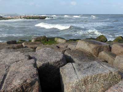
(right photo) A glimpse of the paraleel breakwater
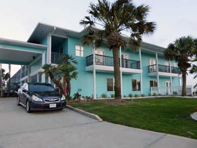
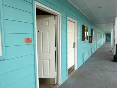
We continued north on the barrier island until we reached the colorful Island Hotel Port Aransas.

Along the way, new homes on stilts!
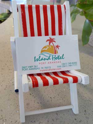
An amazingly cute business card holder!
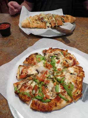
We then drove into the nearby town of Port Aransas to grab some dinner.
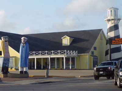
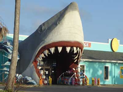
Entertaining buildings!
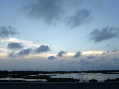
Sunset on the way back
return • continue

