ARCHES (Day 13 - part 1)
In the old days, one could just drive up to a national park and wait in line to get in. Nowadays, an entry time is required... and if you haven't booked one months in advance, you're outta luck. Almost. The day before, we had learned that each day a few tickets are held and then released at 6 pm for slots the following day. So we were online waiting for the second hand to hit 6:00 to get tickets into Arches National Park. Of course, the website wouldn't work (either on a laptop or phone), calling didn't go through... it looked like we were going to have to skip it. Suddenly Sean got through. Unfortunately the earliest slot left was 11 am. Since we still had a long drive home, that meant we could only just spend a short amount of time in the park. Oh well, better than nothing.
Since we had a bit of time in the morning, we wandered around Lions Park.
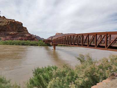
The first bridge for traffic was built in 1912 as a single-lane steel structure. In 1955, a double-lane concrete bridge was built a short ways downstream. This was replaced in 2010 by a modern 4-lane bridge. Just upstream from the original bridge site, a pedestrian/bicycle bridge (the Colorado Riverway Bridge) was built in 2008.
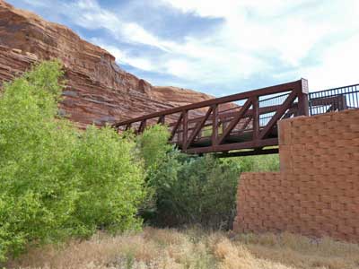
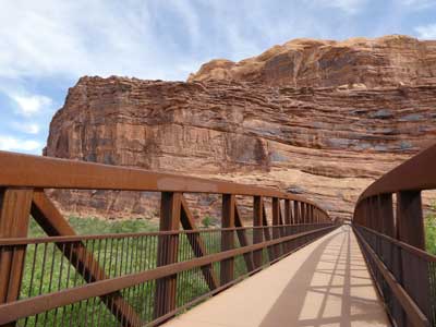
The pedestrian bridge
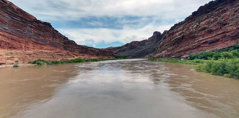
The murky Colorado River
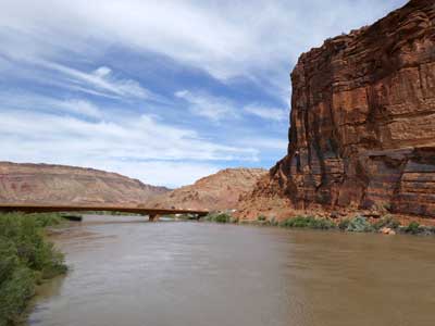
(left) The 4-lane traffic bridge
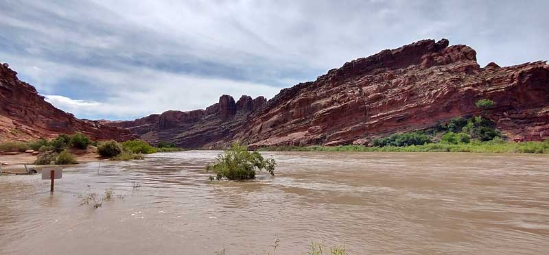
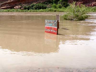
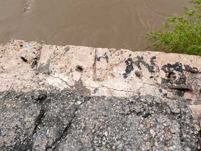
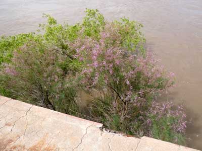
High water ... Site of the original 1912 bridge
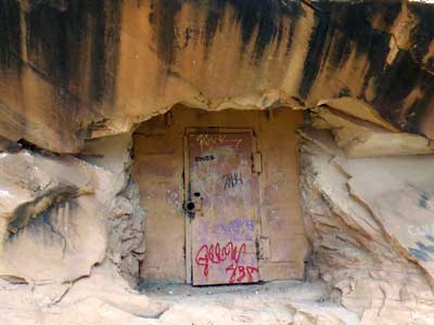
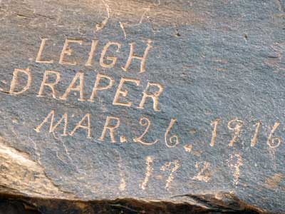
Some old mining history
It was approaching 11 am, so we made our way to the entry gate. Our plan was to drive through the park, take a short walk to see Delicate Arch, then drive back out... enjoying the many spectacular features from the car.
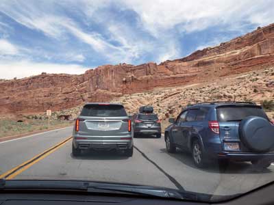
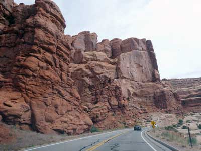
Still a long line ... A steep drive up into the park
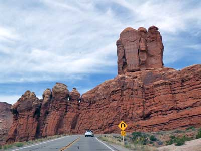
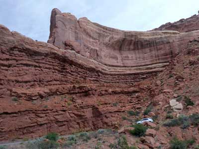
Up, up and more up
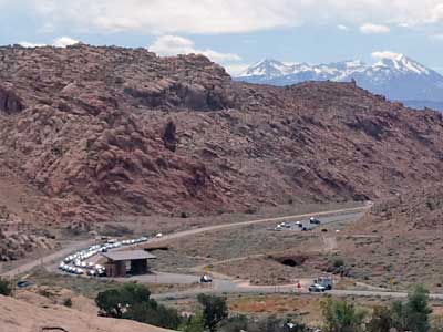
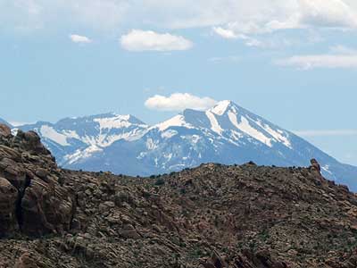
(left) Looking back down at the entry gate and line of cars
The area was originally created as a National Monument in 1929 and became a National Park in 1971. It is known for preserving over 2,000 natural sandstone arches, 43 of which have collapsed due to erosion since 1970.
The park lies on an underground salt bed which is thousands of feet thick in places and was deposited some 300 million years ago when a sea flowed into the area and eventually evaporated. Over millions of years, the salt bed was covered with dirt and sand, which in turn became rock layers. The weight of this cover caused the salt bed to liquefy and thrust up layers of rock into salt domes. Faulting occurred and large sections of rock fell into the areas between the domes, in some places turning almost on edge. Erosion then removed the younger rock layers from the surface. The major rock formations are in the pink Entrada Sandstone and the beige Navajo Sandstone. These are visible as layers throughout most of the park.
Over time, water seeped into the surface cracks of these layers. Ice expended and put pressure on the surrounding rock, causing it to break off pieces. Wind blew away the loose particles and sets of free-standing fins remained. Erosion continued to wear down these fins until the cementing materials gave way and chunks of rock tumbled out. Some fins collapsed while others, with the right degree of hardness and balance, survived despite their missing sections. These became the famous arches.

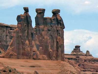
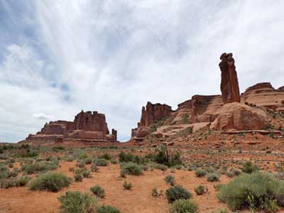
(right) The Three Gossips
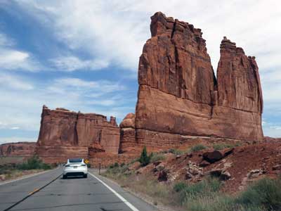
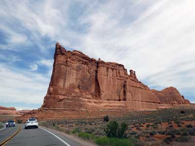
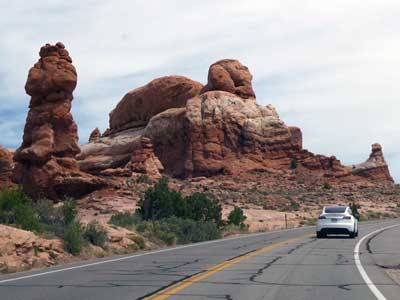
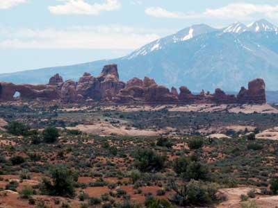

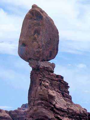
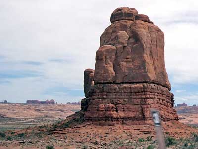
Balanced Rock
The Delicate Arch Viewpoint Trail...
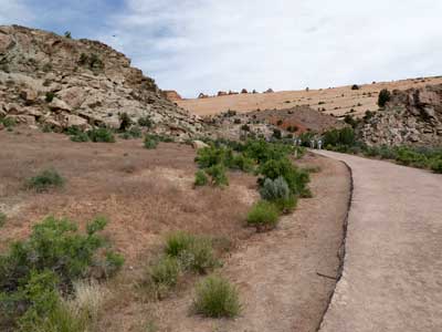
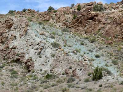
The green color of this rock doesn't come from copper but rather from the minerals illite and chlorite, both formed by iron. When iron-rich volcanic ash settled underwater (as opposed to atop clay and other sediments), it reacted differently due to the lack of oxygen. Instead of turning things red with iron oxide (rust), it tinted everything a greenish blue.
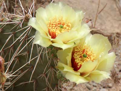
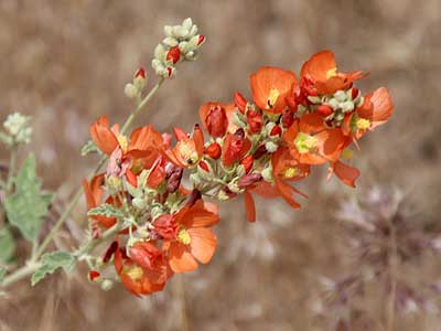
Prickly Pear cactus flowers ... and copper mallow
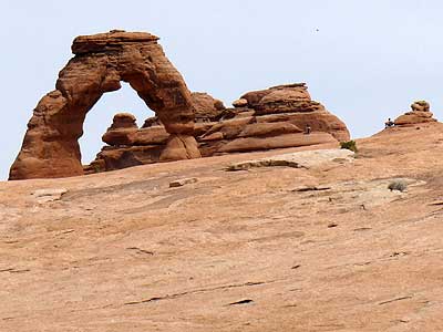
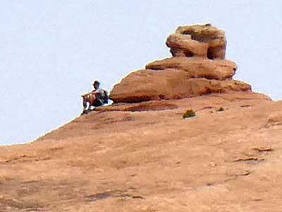
A view of the arch ... with a hiker (seen in both photos) thrown in for scale
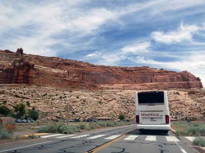
We began the drive back out of the park.
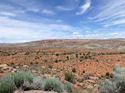
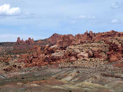
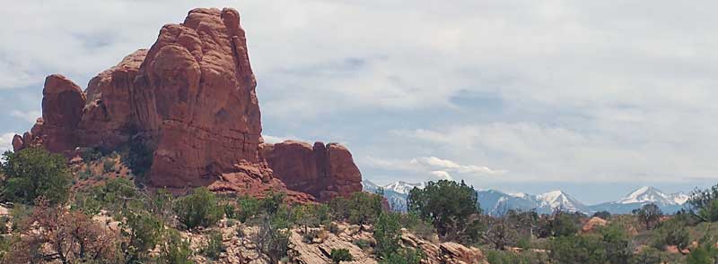

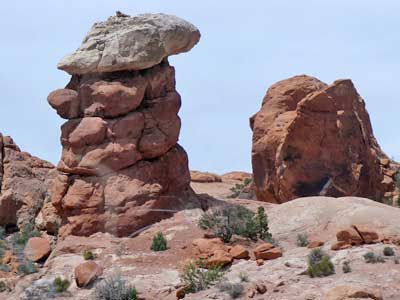
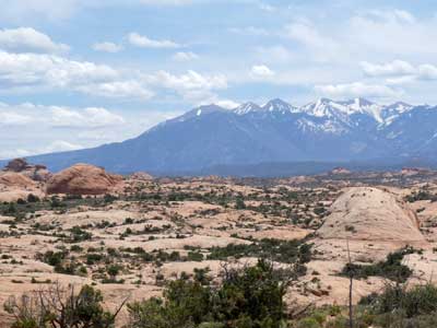
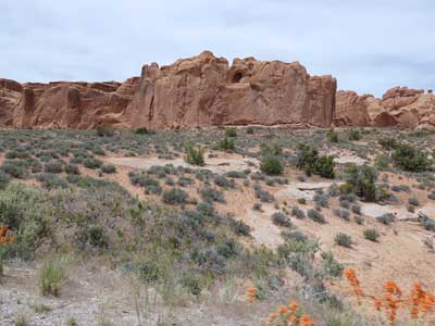
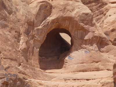
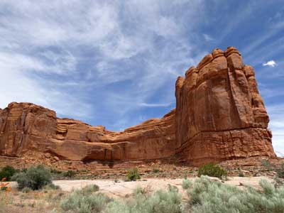
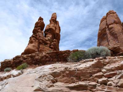
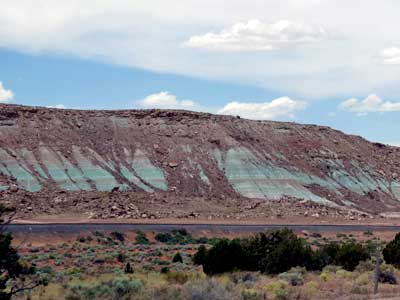
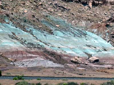
More iron-green rock
return • continue

