CATAMARAN & HELICOPTER (Day 3 - part 2)
On the drive back to the condo, I got dropped off at Port Allen to take a 55-minute helicopter ride over the island. Inter-Island Helicopters was one of the few that flew with no doors.
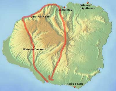
Our route
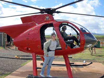
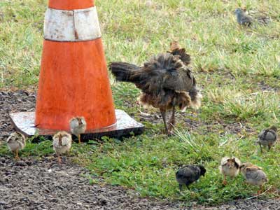
Posing with Luke, the pilot .... Yes, chickens were even out here!
We first headed inland toward Waimea Canyon.
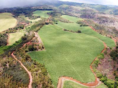
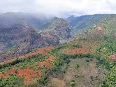
Extensive sugarcane fields .... Approaching the canyon
Waimea ("reddish water") Canyon is often called the Grand Canyon of the Pacific. It is about 10 miles long, a mile wide and some 3,600 feet deep. While the island was still forming and erupting almost continuously, a portion of it collapsed, forming a depression which then filled with lava flows. The Waimea River, arising from the extreme rainfall on Mount Wai'ale'ale near the island's center, then continued to carve through the layers of lava.
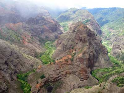
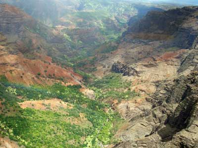
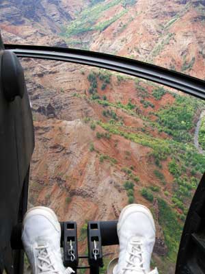
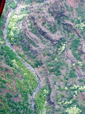
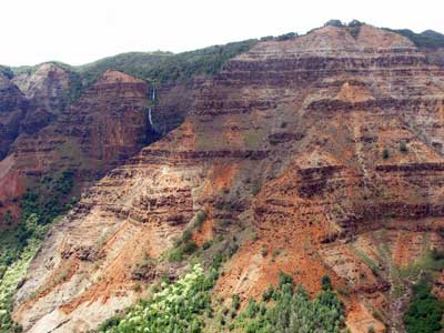
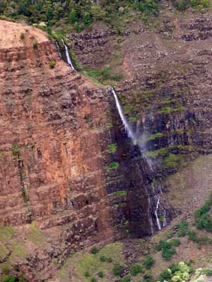
Waipo'o Falls
We emerged over the Na Pali coast and headed north.
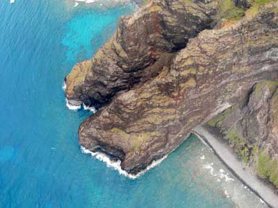
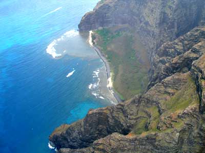
Makuaiki Point ... and Nu'alolo Kai (reef)
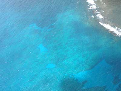
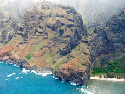
Incredible colors .... Alapi'i Point
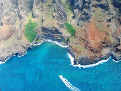
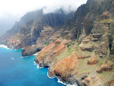
A boat heads for some caves at 'Awa'awapuhi. ... Looking up the coast toward Honopu lava arch
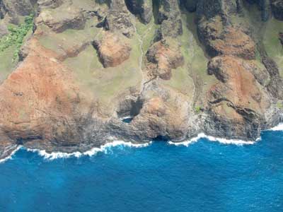
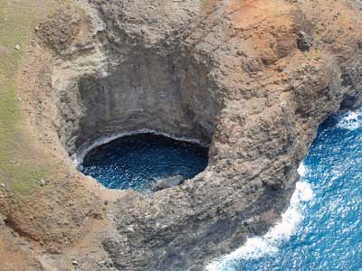
Open Ceiling Cave
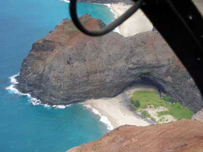
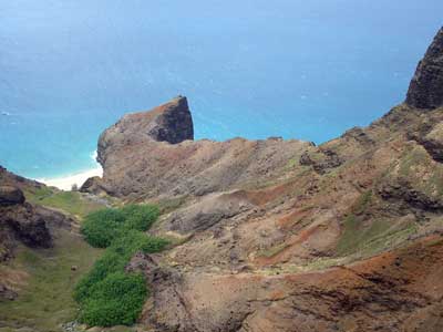
Different angles of Honopu lava arch
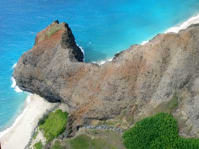
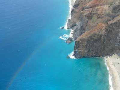
The arch ... a rainbow over Honopu & Kalalau beaches
We made some quick passes up both the Honopu and Kalalau valleys, but a burst of rain and low clouds didn't allow for great views.
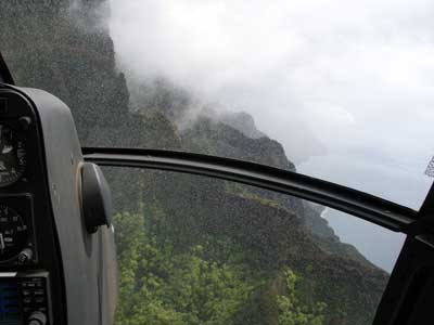
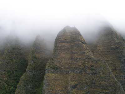
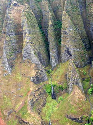
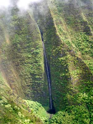
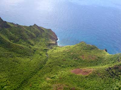
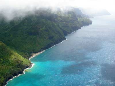
We passed Ke'e Beach and rounded to the north side of the island.
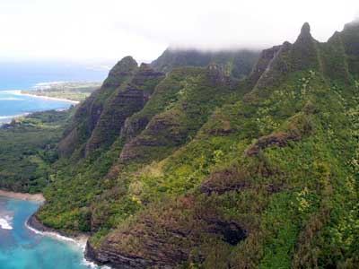
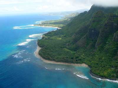
Makana Ridge ... Ke'e Beach and Ka'ilio Point
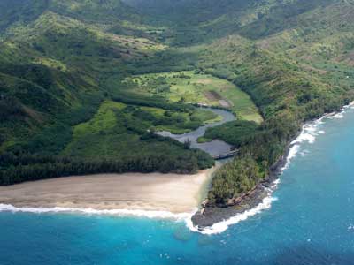
Bridge at Kolokolo Point, with Lumaha'i Beach (left) and Wainiha Bay (right)
We then headed inland into the lush interior.
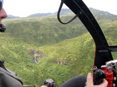
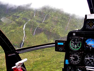
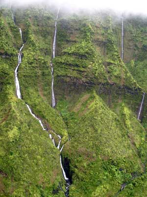
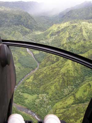
Waioli Falls (left), the island's longest waterfall, pours from Mt. Namolokama. ... The Lumaha'i River
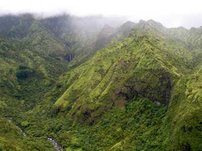
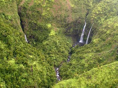
Hanalei Twin Falls
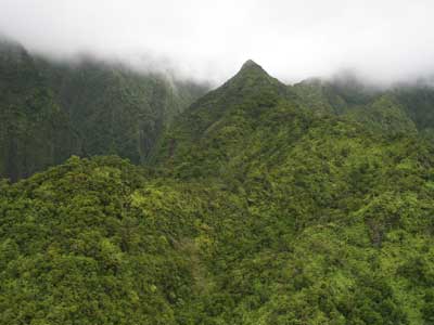
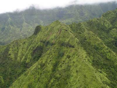
The vegetation here is so thick that much of the area can only be seen by air.

