NORTH (Day 2)
Again we awoke to another stunning moonset and sunrise.
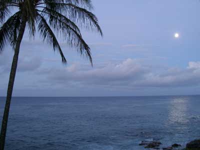
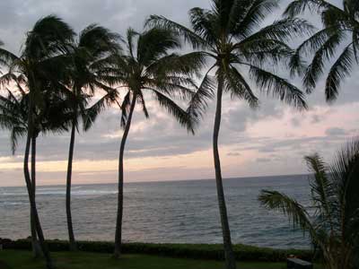
Today we decided to drive up and explore the north part of the island. We got hit en route with a morning shower but it cleared up fairly quickly.
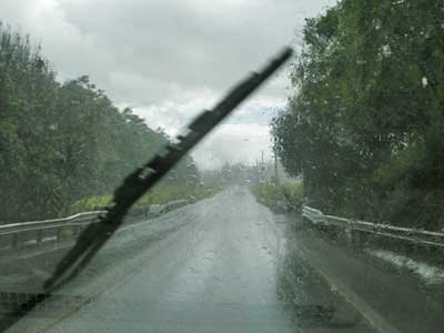
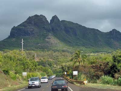
Morning rain ... Kalalea Mountain (nicknamed King Kong)
Our first stop was Kauapea (or Secret) Beach, located between Kalihiwai Bay and Kilauea Point. The trail down was unmarked and rather steep.
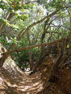
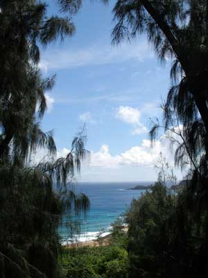
The trail down ... a glimpse of the beach
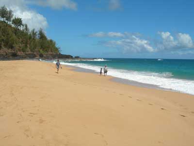
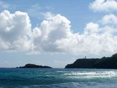
Beautiful sand ... with the Kilauea lighthouse in the distance
A short ways down the beach were tidal pools known as Secret Lagoons. We scoured them for a bit but didn't find anything other than a dried up crab.
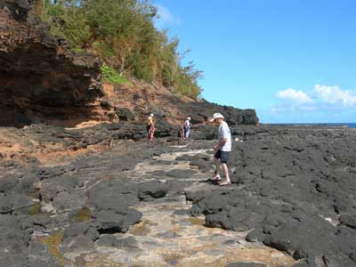
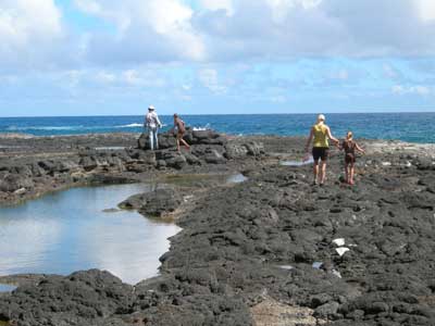
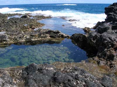
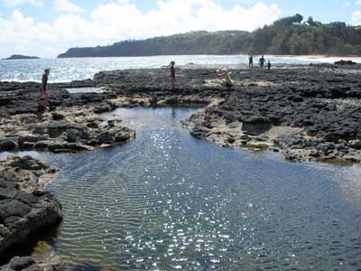
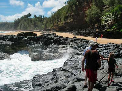
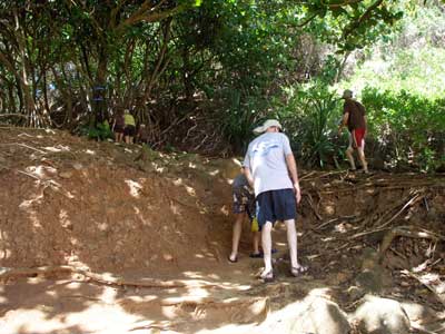
Leaving the pools ... and heading back up the trail
We then drove up to the Kilauea Lighthouse and Reserve, located on located on Kilauea Point.
The point, a narrow lava peninsula, was purchased from the Kilauea Sugar Plantation Company in 1909 for one US dollar. Since there were no good roads, all materials for building the lighthouse had to be brought in by sea. There was also no nearby beach, so the boats had to anchor to cleats cemented into the lava rocks and the supplies were hauled up by a derrick constructed on the ledge. Construction on the 52-foot tall tower began in 1912 and finished a year later.
The 4 1/2 ton Fresnel lens was handcrafted in Paris and is the largest clamshell lens in the world. Its rotation system needed to be reset by an operator every 3.5 hours. The original 250,000 candle power was upgraded to 2,500,000 candle power in 1958. The station was automated in 1974 and retired in 1976 when the light was moved to a nearby smaller tower.
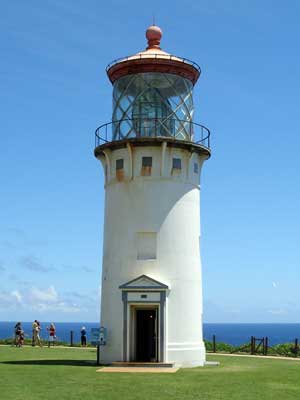
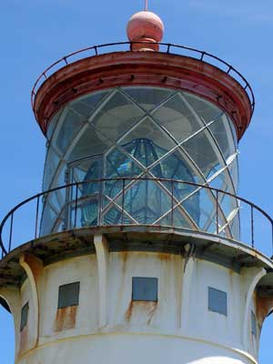
The lighthouse ... and lens
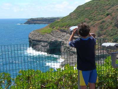
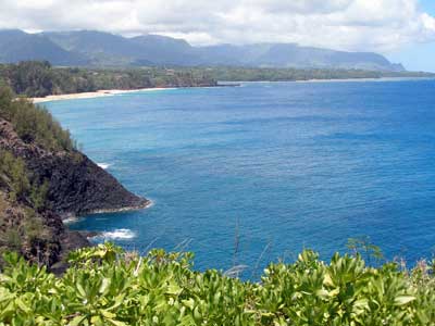
The view to the east ... and west, down to Secret Beach and the lava pools
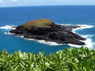
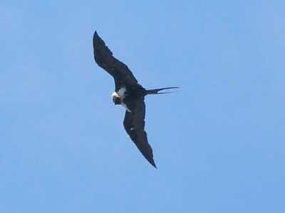
Moku'Ae'ae Islet ... and a frigate bird
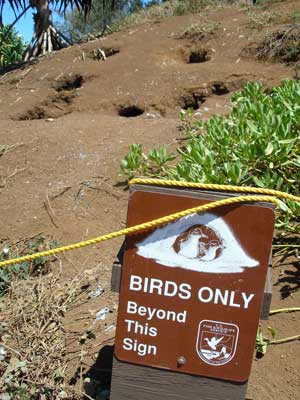
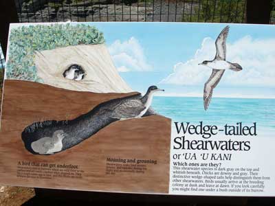
Shearwater nests
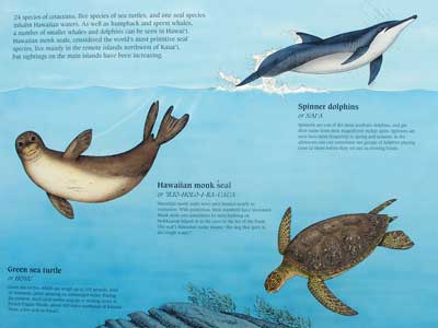
I've actually seen all three of these already!
We made our way across the top of the island, stopping at a few interesting places on our way west to Ke'e Beach.
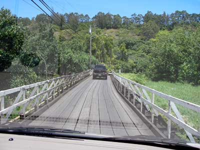
Crossing one of a couple bridges by Wainiha Bay
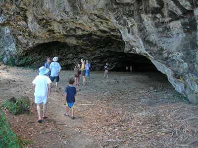
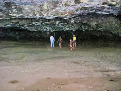
Maniniholo Dry Cave is located at Haena Beach Park. The interior used to be larger but a tsunami in 1957 caused waves to carry in sand and partially fill it. Its name means 'swimming Manini fish.' The manini, a member of the tang or surgeonfish family, is also called the Convict Tang because of its black and white stripes.
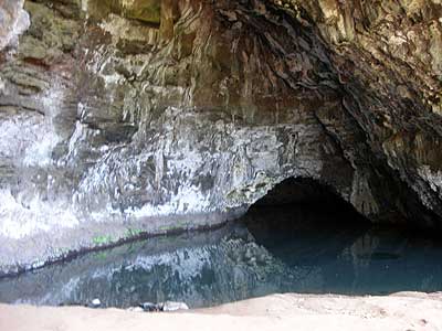
Waikanaloa (Blue Room) Wet Cave is in the Ke'e Beach Park. The water that fills it comes form an underground spring that eventually feeds into the ocean.
Ke'e (pronounced Keh-AY) Beach is the last beach accessible by car on the north shore. It's protected from waves by reef, making it a nice calm place to swim during the summer. It's also the start of the Na Pali Coast and the Kalalau Trail.
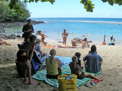
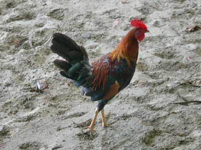
A shady spot ... and a beach chicken!
Feral chickens (especially the wild roosters) are found all over the island in large numbers. The Mua or red jungle fowl was first brought here by the Polynesians as a food source . The birds thrived on an island with no predators other than humans, and by the time Cook arrived in 1778, they were well established. In 1982 and again in 1992, a hurricane added to the problem by destroying chicken coops and releasing domesticated hens (meant for meat and eggs) as well as roosters being bred for cockfighting (which was technically banned in 1884 but still thrives as an underground sport).
The chicken invasion may be fun for tourists, but the birds are bad for native plants, carry diseases that kill native birds, are messy, make for unsafe driving and can be quite loud.
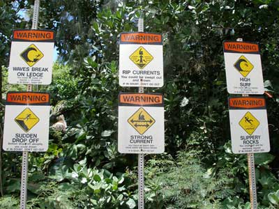
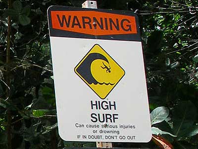
Winter waters are dangerous here.
While everyone else decided to go swimming, I explored a bit of the Kalalau Trail, which wraps along the Na Pali coast for 11 miles. It is called one of the most dangerous trails in the world... streams suddenly swell with no warning, rocks fall from the cliffs, steep drop offs, slippery mud, strong riptides, unstable and narrow paths, heat exhaustion, dangerous plants and animals and there is no way to call for help. Sounded fun!
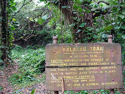
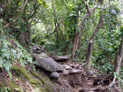
The wet, muddy, slippery...
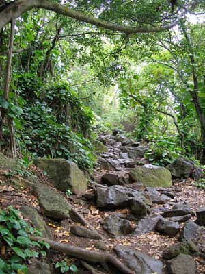
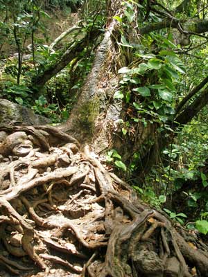
... rocky, root-filled path!
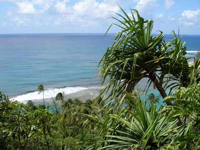
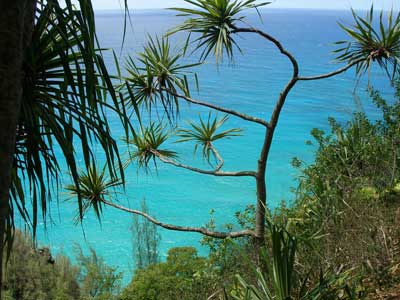
But the views were sensational!
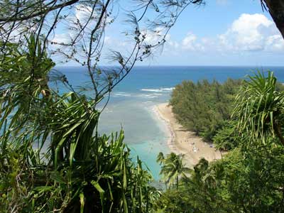
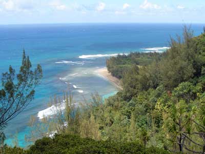
A glimpse down to Ke'e and Tunnels Beaches
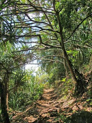
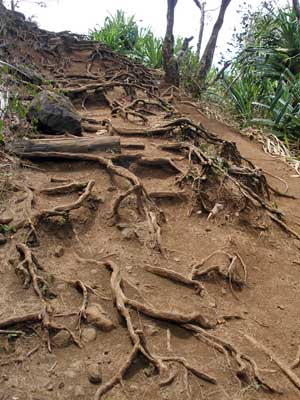
More shots of the path
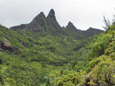
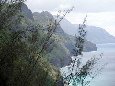
Makana (or Bali Hai) Ridge ... the rewarding view of the Na Pali cliffs
After I got my view of the Na Pali coast, I decided to turn back... partly because of time constraints but also partly because the trail looked like it got a LOT harder and I didn't have good enough shoes.
We all loaded back up into the cars and drove back to Hanalei where we watched the sun set into the sea.
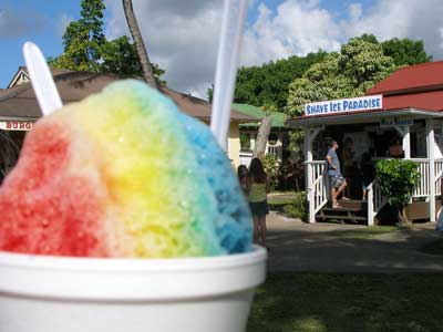
Rewarding ourselves with some 'shave ice'.
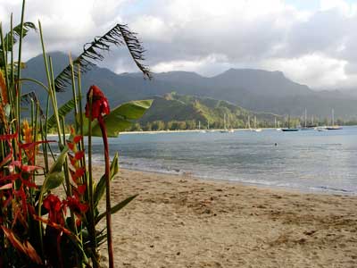
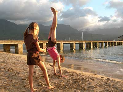
Hanalei Beach Park
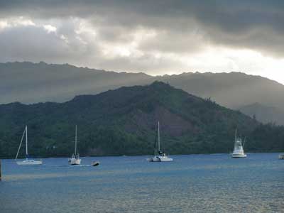
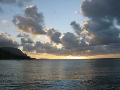
Hanalei Bay begins to change color.
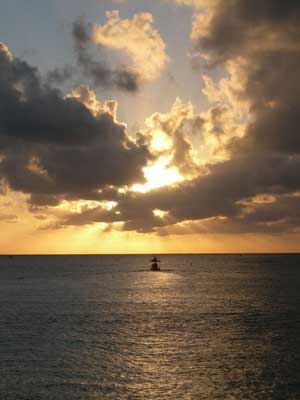
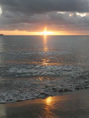
The final rays of the day
It was about an hour drive back to the condo.

