ULTRALIGHT (Day 1 - part 1)
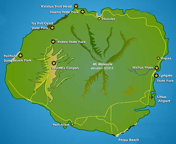
The layout of the island which is only 26 miles across and 21 miles north/south. Note the road does not go all the way around; some parts of the island are simply too rugged.
Kaua'i or Kauai (pronounced Kuh-WUH-ee) is the fourth largest and oldest of the main Hawaiian Islands. It was formed by an underwater volcanic hotspot about 6 million years ago.
I had arrived at the Whaler's Cove condo near Poipu Beach the night before, so I was able to watch the moon set and the sun rise from the balcony in the morning.
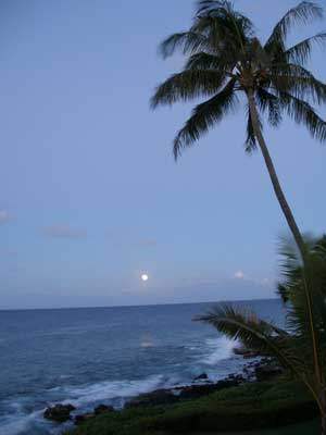
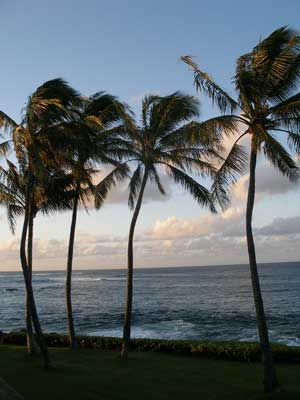
Down with the moon ... and up with the sun
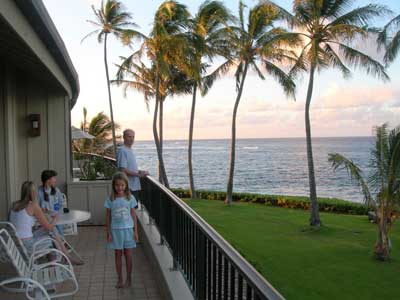
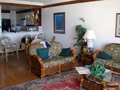
Our balcony (or lanai) .... We managed to fit 9 people in this place!
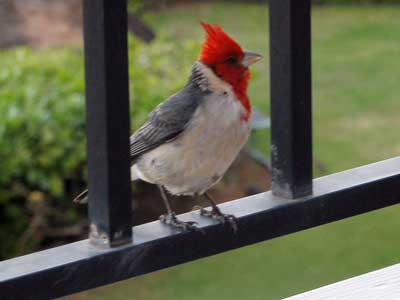
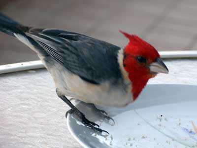
A red-headed cardinal visits the lanai .... and then our breakfast plates!
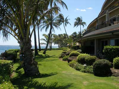
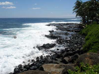
The condo at Whaler's Cove .... and the view down the beach
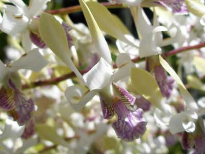
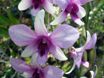
Gorgeous tropical flowers bloomed everywhere.
I caught a 2-hour flight with Ultralight Adventures in Port Allen. Robert Combs, the pilot, was the guy in those Wrigley's Spearmint gum hang gliding commercials from the early 1980's.
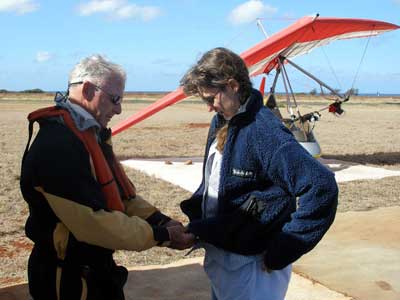
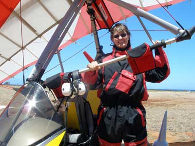
Suiting up! It gets really cold up there. ... This is the ultralight, or a lawnmower engine with wings, as some like to call it.
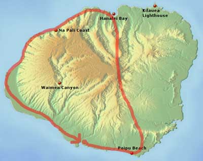
Our route would take us along the south beach, across the center of the island and down the west side of the island.
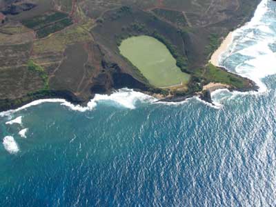
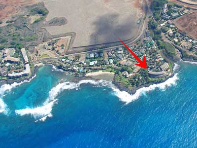
Nomilu fishpond ... and Whaler's Cove (with our condo)
The ancient Hawaiians built ponds for fish farming. This guaranteed a constant food supply and, unlike fishing at sea, was not weather-dependent. Nomilu is actually brackish water, fed by both the sea and a natural spring.
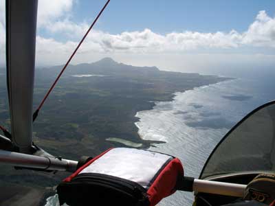
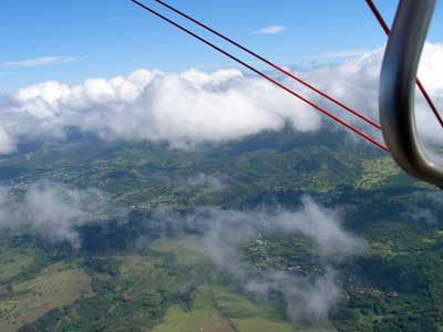
Flying east along the southern coast .... gaining elevation
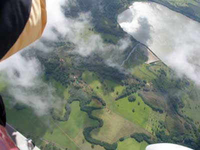
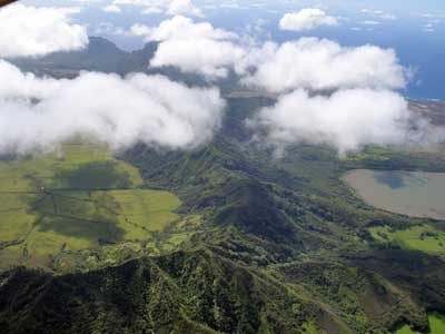
Waita River and Reservoir ... and Hau'pu Ridge
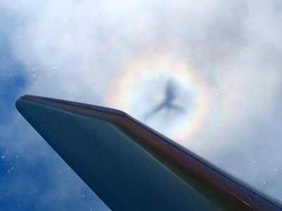
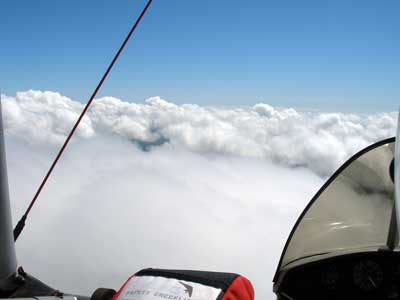
We look like a dragon! ... Above the clouds
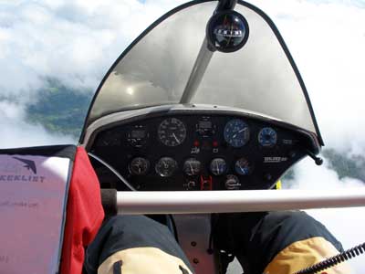
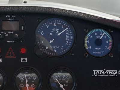
Flying above 6,000 feet
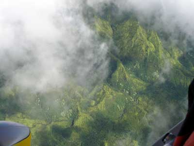
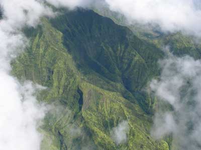
We tried to get a glimpse of Wai'ale'ale crater, located on the east side of Mount Wai'ale'ale (elevation 5,148 feet), but there were too many clouds.
What are all those little marks throughout a Hawaiian word? The 'okina (often written as an apostrophe or a dash but technically is a single left quote mark) is a letter in the Hawaiian alphabet used to indicate a glottal stop (a vocal break or slight pause between sounds).
When Captain Cook arrived in 1778, he noted that Hawaiian was strictly an oral language, similar in sound to Tahitian and Maori. When the missionaries showed up in 1820, they created a written language so that they could translate the Bible into Hawaiian. Their alphabet consisted of 13 letters... five vowels, eight consonants and the 'okina. This was important since the way a word was pronounced gave it a different meaning: lanai (pronounced lah-nigh) means balcony whereas lana'i (lah-nah-ee) is one of the Hawaiian islands. More examples: ko'u (my) and kou (your); au (me/I) and 'au (to swim); kai (sea) and ka'i (to lead).
After the US annexation of Hawaii as a territory 1898, the language was officially banned from schools and the government and was even expected to be extinct by the end of the 20th century. But in the 1970's, it was returned as an official language. Today there are about 9,000 fluent speakers of the language... so, not dead, but far less than the estimated 400,000 - 800,000 native speakers during Captain Cook's time.
We emerged along the north shore.
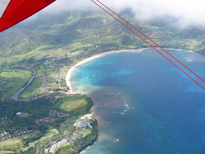
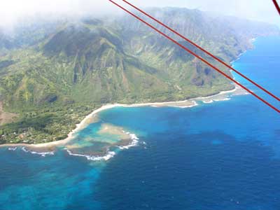
Hanalei Bay ... at the reefs at Tunnels Beach and Haena State Park
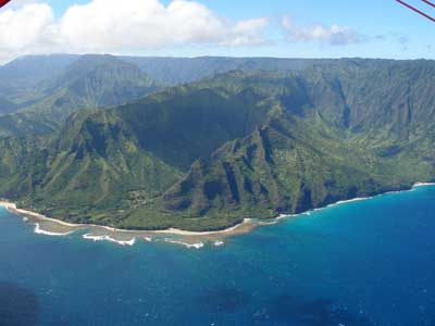
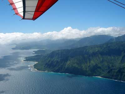
Rounding the northwest tip of the island at Ke'e Beach
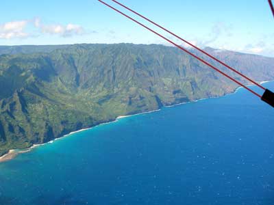
A view down the Na Pali (or Napali) Coast, which stretches 15 miles between Ke'e Beach and Polihale State Park
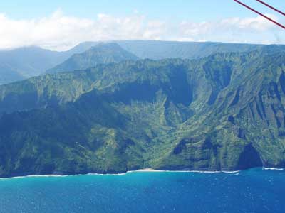
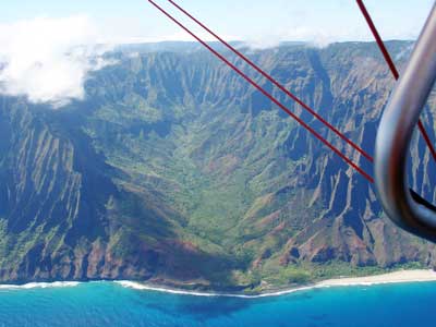
Hanakapi'ai Valley ... and Kalalau Valley
Unlike a helicopter, an ultralight can't just descend down directly. To get lower, we had to swirl down slowly in large loops.
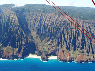
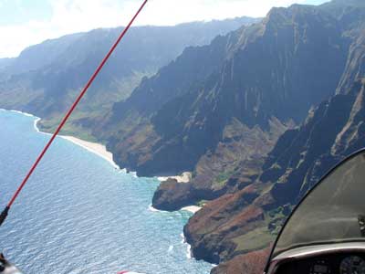
Honopu Valley with its lava arch ... circling lower for a better view...
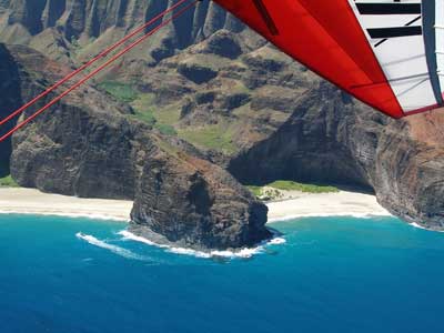
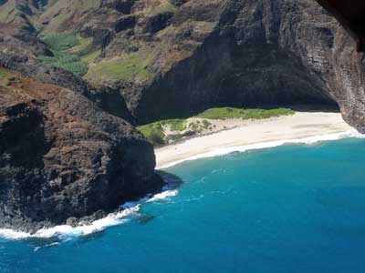
... and lower ... and lower
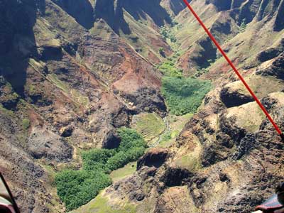
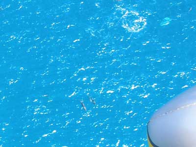
A good view up Honopu Valley .... and of a couple Spinner dolphins (or Nai'a) in the bay
We continued to make our way down the coast.
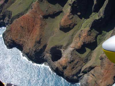
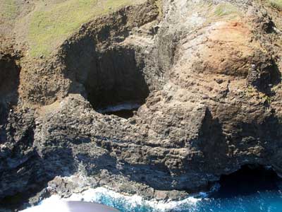
Passing over Open Ceiling Cave ... then going in for an even closer look
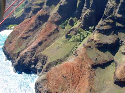
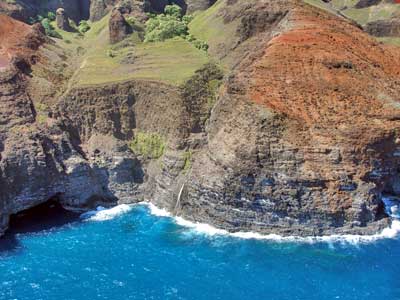
Two views of Waiahuakua Sea Cave (or Pirates' Cave)

