MALAD GORGE (Day 4 - part 2)
Just down the road was Thousand Springs State Park, Malad Gorge Unit. So we immediately got to use our parks pass!
Malad Gorge was created by a combination of volcanic activity and erosion. Around 4 million years ago, volcanic episodes from shield volcanos (where lavas oozes from vents in the earth's crust) built up layers of hot, fluid basalt, gradually building up a deposit over 200 feet thick. About a million years ago, alpine glacial snowmelt from the north reached this area where it began to widen weak joints in the basalt, eventually widening and deepening this canyon. Over time, the 60-foot waterfall has retreated 2.5 miles to its present location. This is called a retreating cataract (a cataract is simply a huge waterfall).
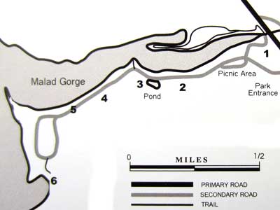
1) Devil's Washbowl, 2) gorge overlook, 3) Uses of Water overlook, 4) native plant restoration, 5) block faulting, 6) Woody's Cove
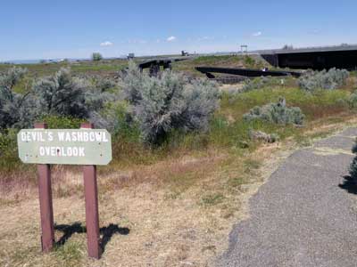
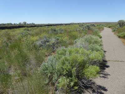
Stop #1, the Devil's Washbowl (located at the base of the waterfall)
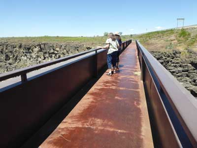
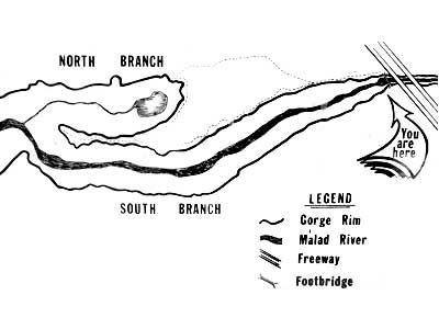
The waterfall was located directly under the bridge so we couldn't see it from this spot. Right next to us was the highway.
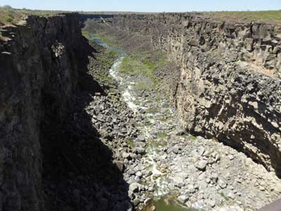
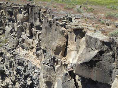
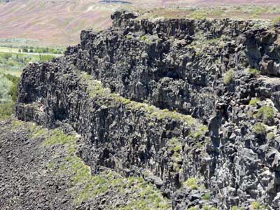
Looking downstream ... The cliffs were made of volcanic basalt
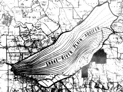
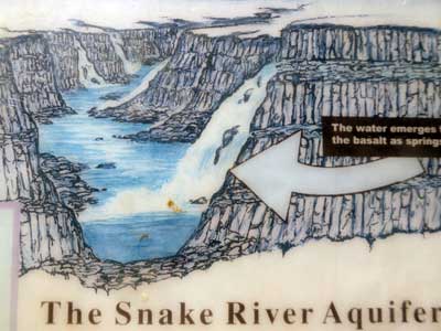
Flowing under the surface and through the porous lavas is the Snake River Aquifer, a vast underground reservoir of water. Melting snow and rain water feed the aquifer, which flows southwest. When it reaches this area (known as Thousand Springs), it emerges from the cliffs as cold springs.
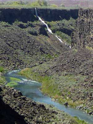
A distant spring
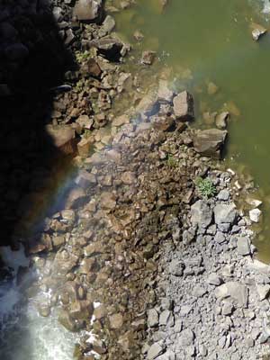
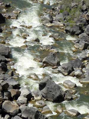
Looking straight down from the bridge into a rainbow ... The Malad River
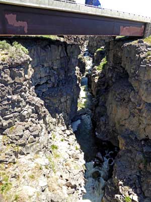
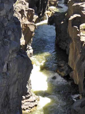
Looking behind us, towards the highway bridge ... The river continues to create a much shallower gorge above the washbowl.
We then followed a path the led to an overlook a bit further down the canyon.
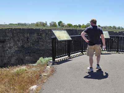
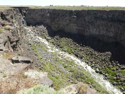
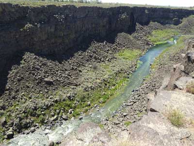
Looking up the canyon ... and down
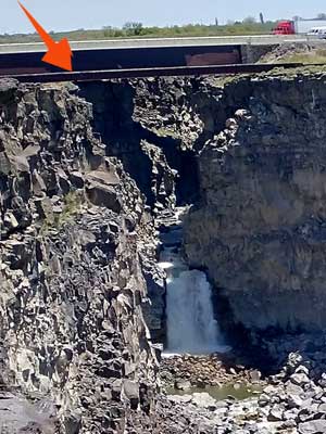
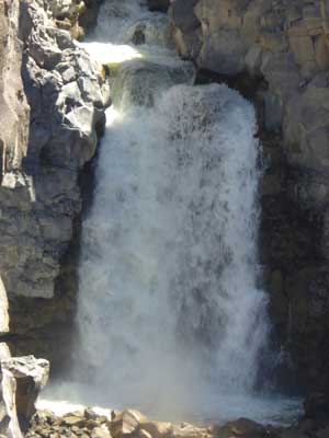
The waterfal (with the pedestrian bridge in front of the highway) is now visible.
We returned to the car and drove to stop #2, a gorge overlook from the other side of the canyon.
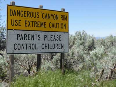
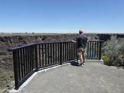
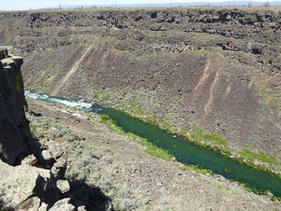
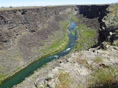
Up canyon ... Down canyon
The canyon is 250 feet deep and 2.5 miles long. It got its name in 1824, from an incident recorded by Alexander Ross, a Hudson Bay trapper. While camped on this river, 37 members of the party got sick from eating locally trapped beaver. Later, they believed it was because the beaver must have lived off of some type of poisonous root. "Riviere aux Malade" translates to Sickly River from French. The river runs a total of 15 miles before emptying into the Snake River.
In 1880, this gorge was the hide-out for three escaped felons from the territorial prison at Boise. William Mays and W.H. Overholz had life sentences for mail robbery, and Moroni Hicks was serving 10 year for manslaughter. They had escaped with three others while picking apples. One was killed, another surrendered, and the last one fled to Oregon. The three men stole food, clothes, money, boots, horses and weapons. Eventually they had to leave the gorge for more food and were captured.
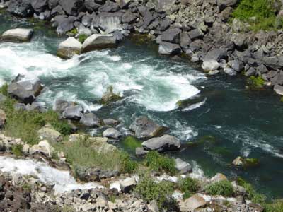
Rapids
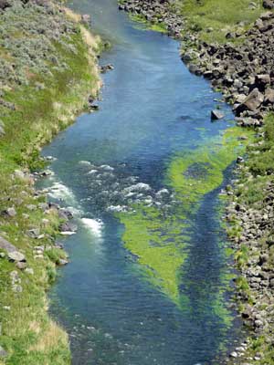
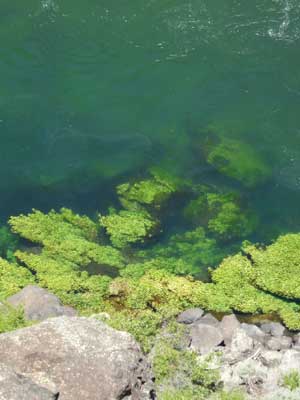
Algae
We drove a bit farther to stop #3, the Uses of Water overlook.
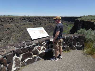
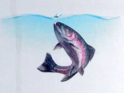
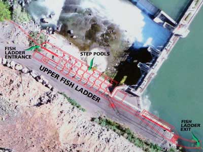
Rainbow trout spawn in the Malad River and migrate to the Snake River when they are one or two years old. Passages, both up- and downstream, uses fish ladders to help them stair-step past dams. This one uses a series of 25 pools that allow the fish to pass over an 18-foot-tall dam.
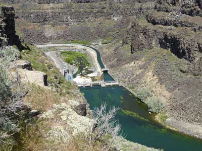
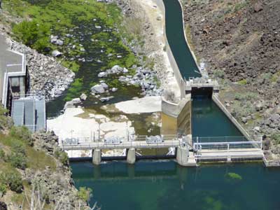
Electricity has been generated by the Malad River since 1911. The concrete canal system along the canyon floor was completed in 1948. This structure diverts river water to power generators. The water is then routed for local irrigation. Even with this, the gorge produces 600,000 gallons of water per minute.
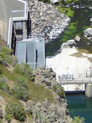
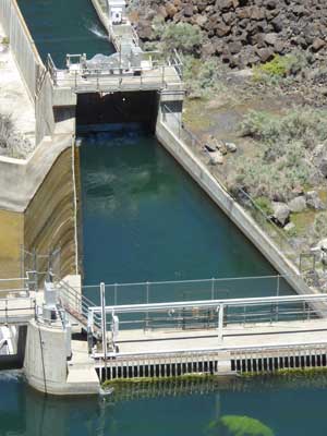
The fish ladders ... Diversion canal
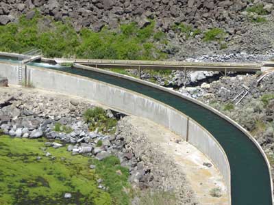
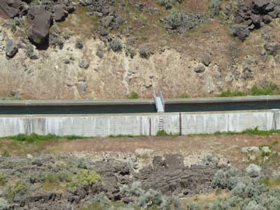
More of the diversion canal
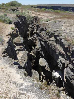
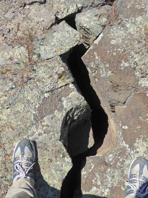
We skipped the walk at stop #4 and went straight to stop #5, block faulting. Before the canyon filled up with basalt lava deposits, it was an ancient lake bed, leaving soft sedimentary rock under the canyon walls. As waters carved the canyon, it also undercut these softer sediments. As these eroded, large sections of the heavier basalt walls slowly slumped towards the canyon floor. Some of the crevasses are over 100 feet deep.
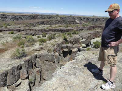
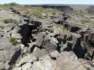
Walking among the faults
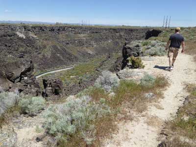
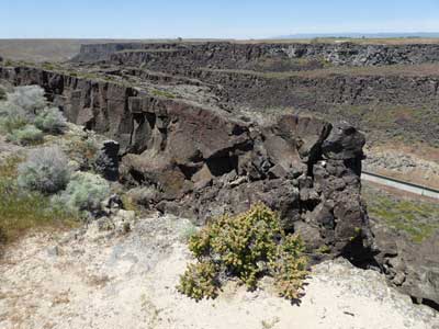
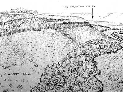
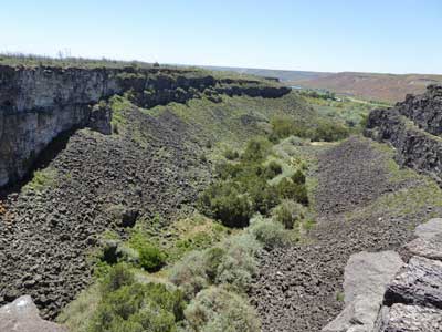
End of the line was stop #6, Woody's Cove. This canyon was created in the same way the gorge was, by a retreating waterfall (although this one is no longer here).
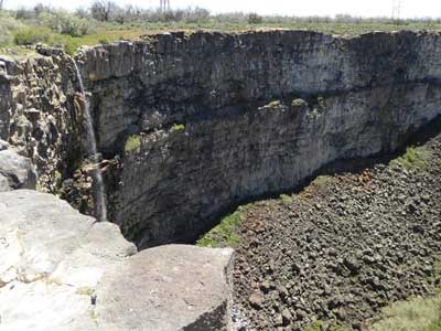
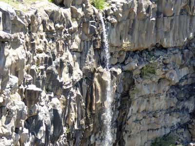
A spring
return • continue

